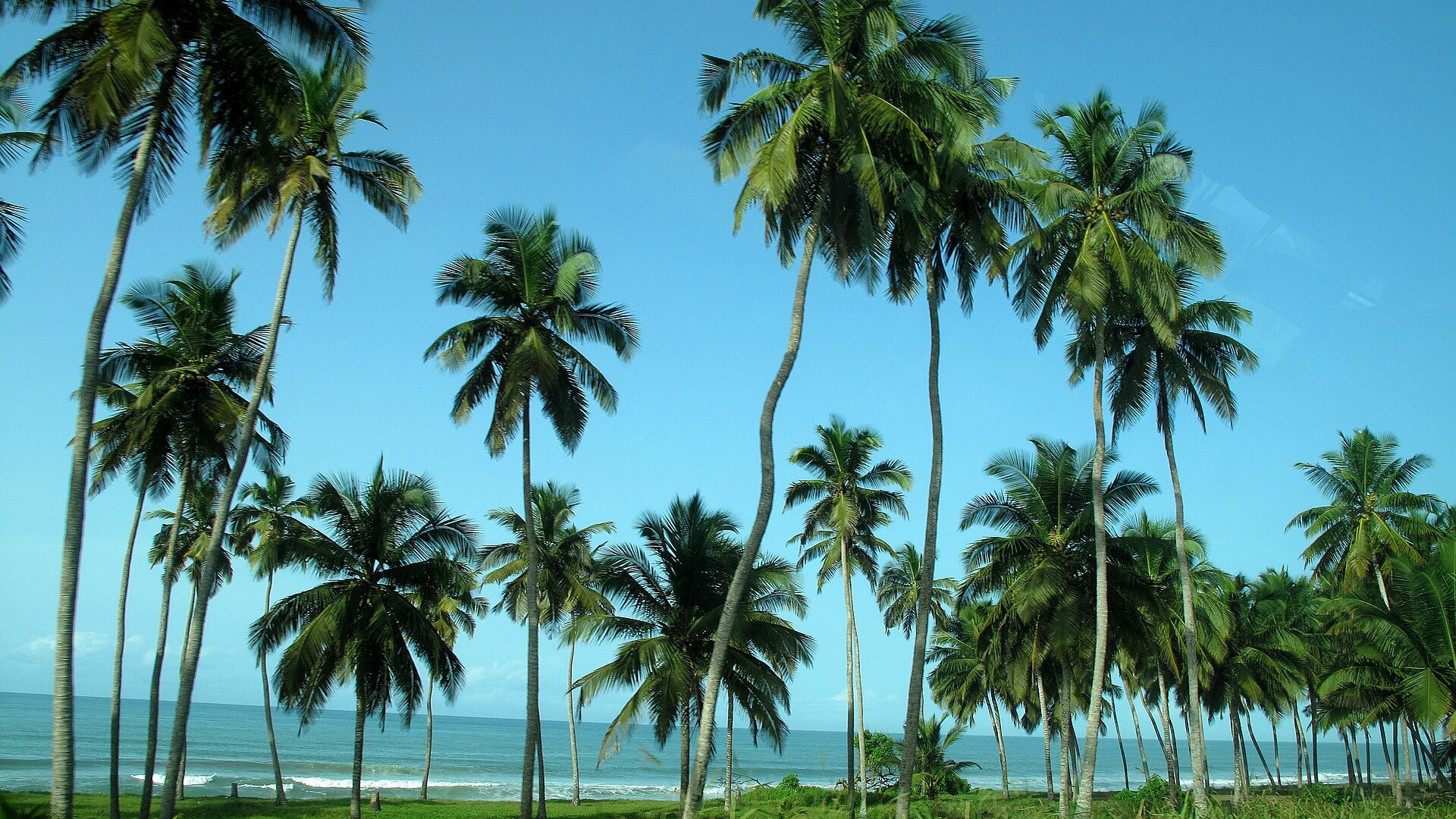
A broad tropical gulf off West Africa that lies closer than anywhere else to the point where the Equator meets the Prime Meridian.
Area
2,350,000 km²
Ocean basin
Atlantic
Location
The gulf at the very centre of the world map
Average depth
about 2,700 m
Maximum depth
about 6,363 m
Salinity
~34–35 ppt
Temperature
Warm, 24–29°C
Region
Off West & Central Africa
About the Gulf of Guinea
The Gulf of Guinea curves along the coasts of West and Central Africa, from Liberia round to Gabon. It is fed by great rivers like the Niger and Volta, and its warm waters support important fisheries and offshore oil fields. Famously, the imaginary point of 0° latitude and 0° longitude — “Null Island” — lies on its surface.
Did you know?
The spot where the Equator crosses the Prime Meridian — latitude 0°, longitude 0° — floats right here in the Gulf of Guinea.
Highlights
- Nearest sea to 0°, 0° on the map
- Fed by the Niger and Volta rivers
- Rich fisheries and offshore oil
Photo gallery
Life in the Gulf of Guinea
Creatures, seabirds and marine plants — including some of the rarest and strangest — that live in these waters.
Creatures of the deep
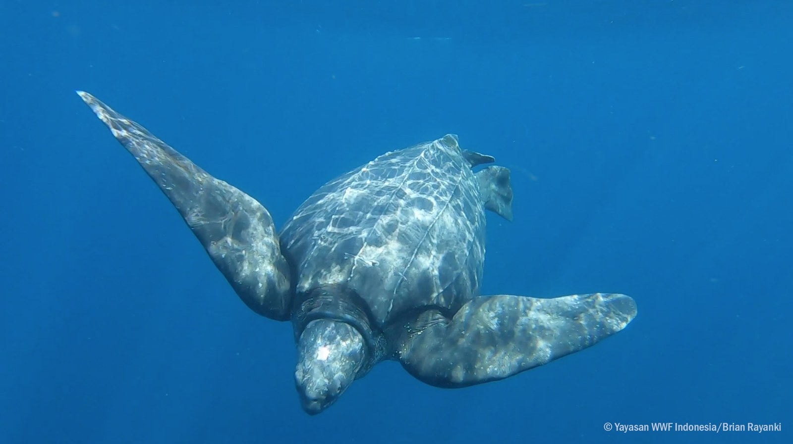
Leatherback turtle
The largest sea turtle, diving over 1,000 m in pursuit of jellyfish.
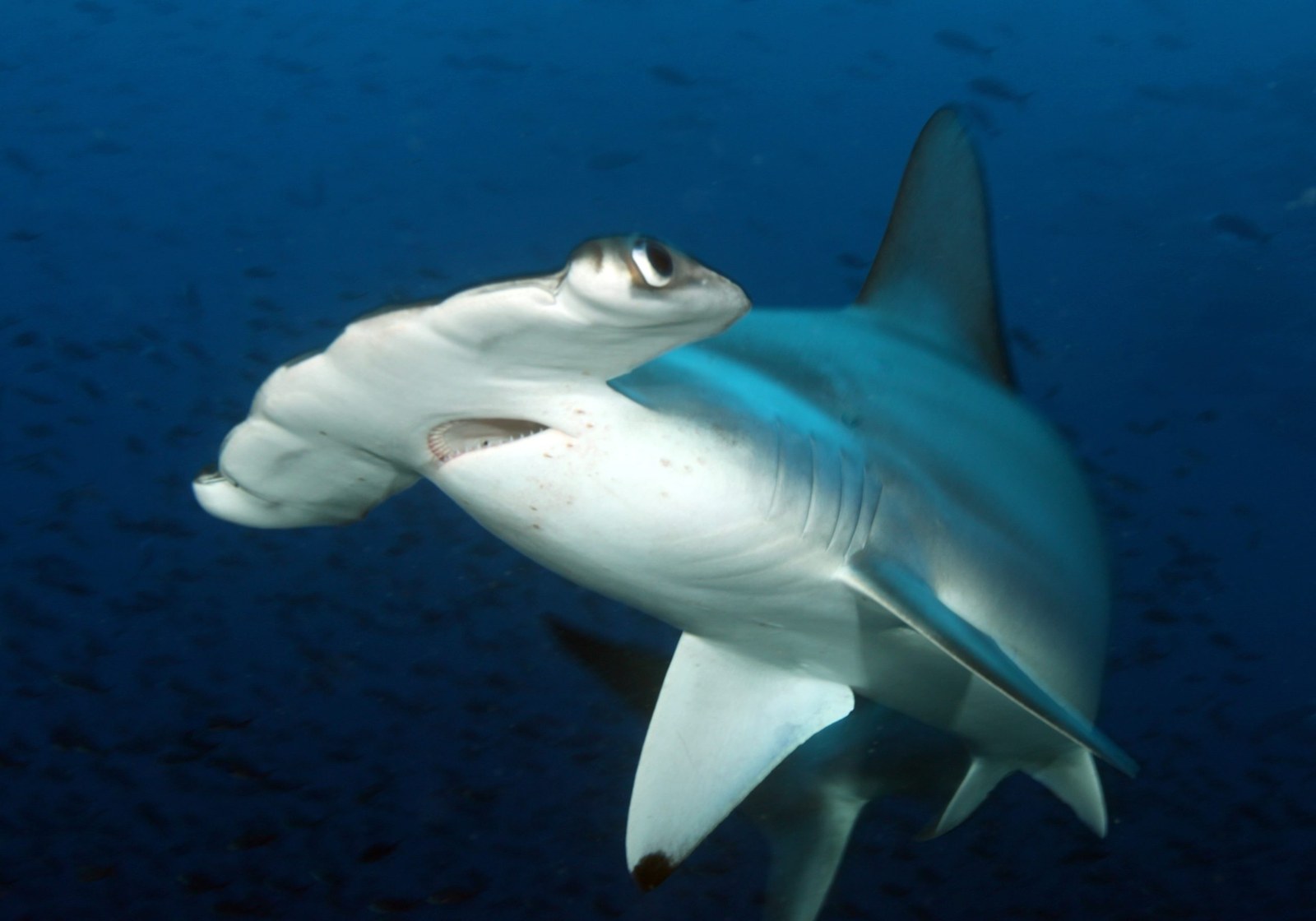
Hammerhead shark
Its wing-shaped head is packed with sensors that detect prey buried in the sand.
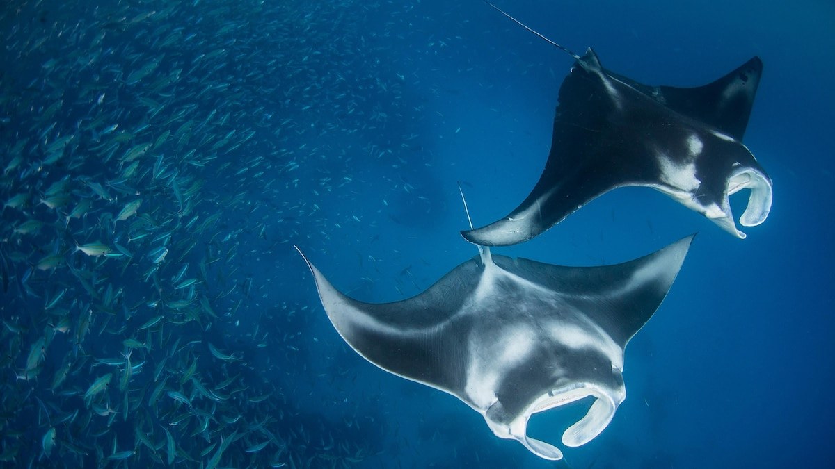
Manta ray
A gentle giant that “flies” through the water on wings up to seven metres across.
Marine plants & algae
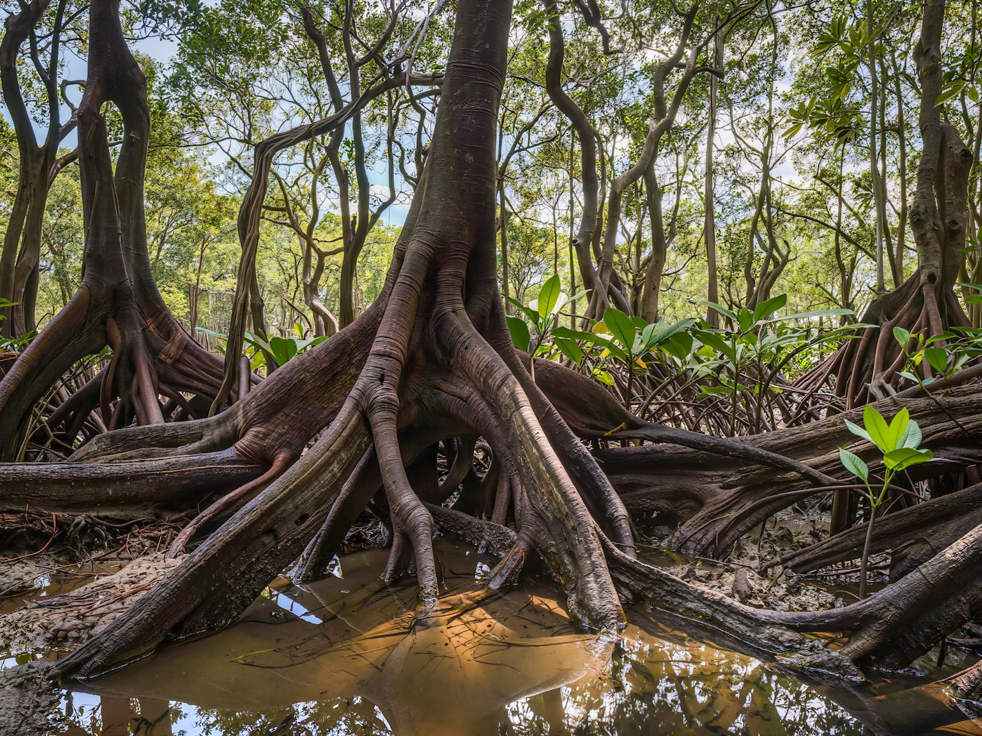
Mangrove
Salt-tolerant coastal trees whose tangled roots shelter young fish and buffer storms.
Surface & deep in the Gulf of Guinea
The sea is warm where the Sun reaches it and cold far below. Flip between the sunlit surface and the deep water to feel the difference — these are typical figures for a gulf & bay.
Sunlit surface
26°C
typical surface temperature
Shallow and sheltered, gulfs and bays warm up quickly from top to bottom, staying far milder than the deep open ocean nearby.
Recorded range for the Gulf of Guinea: Warm, 24–29°C