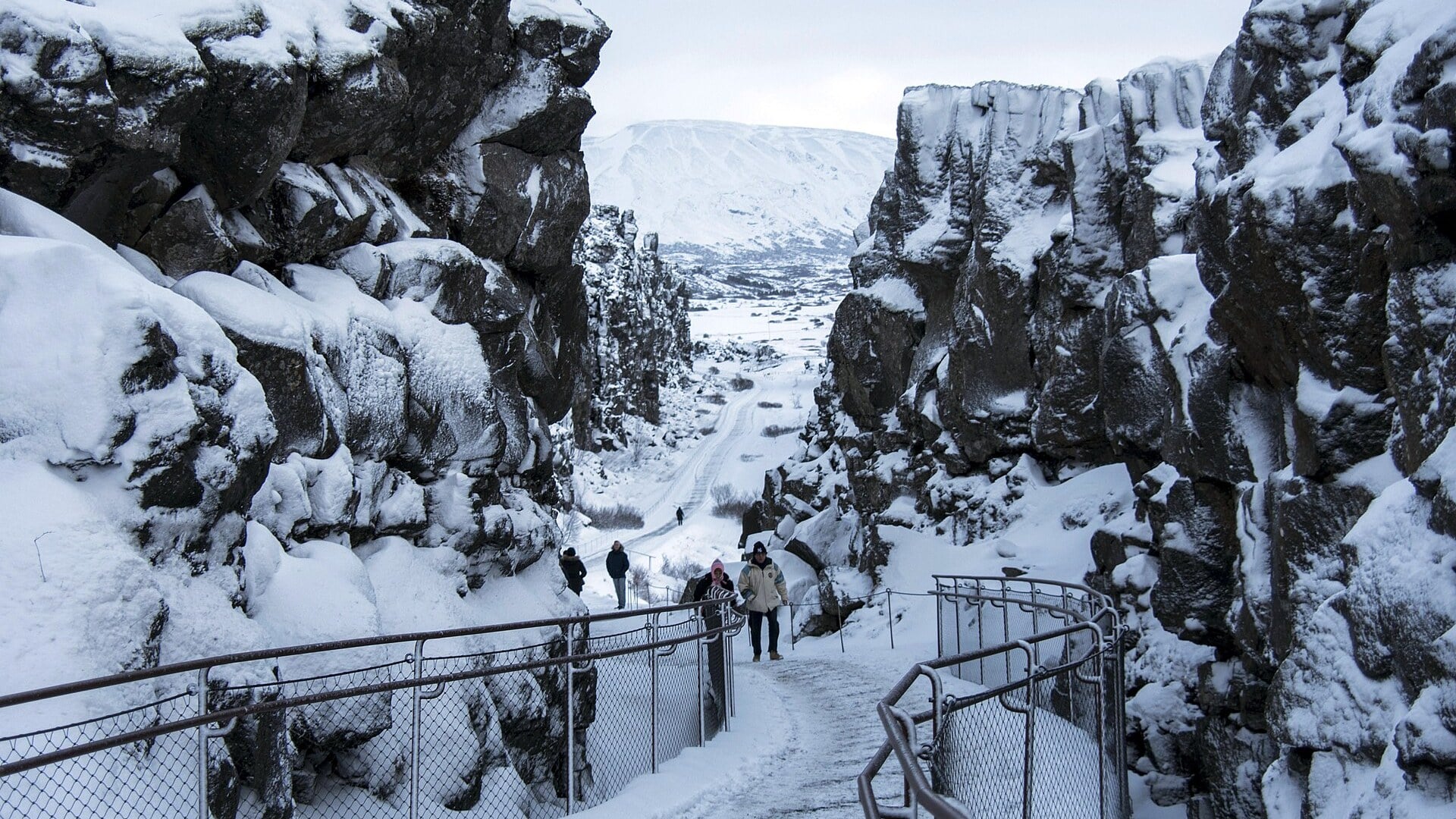
Rifting
Þingvellir
IcelandAn ocean ridge you can visit without a submarine.
Photo credit & licence
Bryan Ledgard · CC BY 2.0. Cropped to 16:9; crop shared under the same licence. Photograph, not a live feed.
Mountains rise. Oceans open. Continents wander.
The ground beneath your feet has a past—and it is still writing its next chapter.
Drag the globe, select a golden marker, or peel back the surface. The place buttons work with a keyboard too.
Present-day geography · approximate site markers · not a live earthquake feed.
Travel from Pangaea to the present. Scrub the timeline, choose a chapter and uncover the evidence behind each transformation.
Collisions brought major continental masses together into Pangaea. Assembly was a long process, not one event on a single birthday. Mountain belts marked sutures where older oceans had closed.
Four experiments. Four very different landscapes. Choose a boundary, move the slider and orbit the model to see the process from another angle.
When plates separate, mantle rises and can partly melt as pressure falls. Magma cools into new rock. On continents, faulting and thinning can precede the birth of an ocean.
The upwelling mantle is mostly solid rock. Only part of it melts. Geometry, rates, rock thicknesses and motion are illustrative. The amber column represents magma; it is not the entire mantle.
A good scientific story has receipts. Open each evidence card to discover how independent observations fit together.
Cooling basalt records magnetic polarity. Reversals leave broadly corresponding patterns on both sides of spreading ridges. These patterns, combined with ages, reveal motion.
A few centimetres each year can redraw an ocean over geological time. Set an illustrative constant speed and duration to see why patience is Earth’s superpower.
Distance = speed × time. This is a unit-conversion experiment, not a measured plate trajectory; real speeds and directions change.
From a mountain that began in a sea to ocean crust stranded in Oman: open a field note and explore then, now and the surprising bit in between.
An ocean ridge you can visit without a submarine.
Bryan Ledgard · CC BY 2.0. Cropped to 16:9; crop shared under the same licence. Photograph, not a live feed.
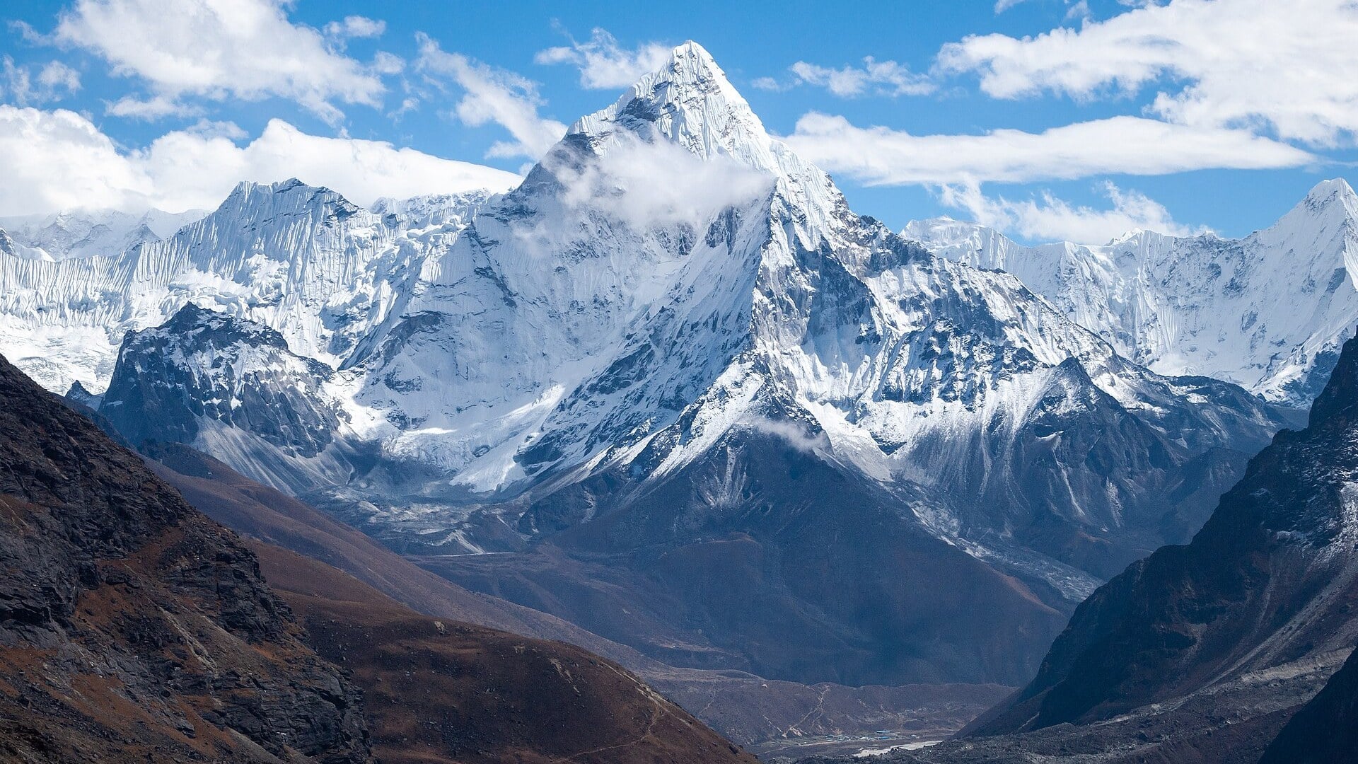
A vanished ocean helped write the story of the highest mountains.
Vyacheslav Argenberg · CC BY 4.0. Cropped to 16:9; crop shared under the same licence. Photograph, not a live feed.
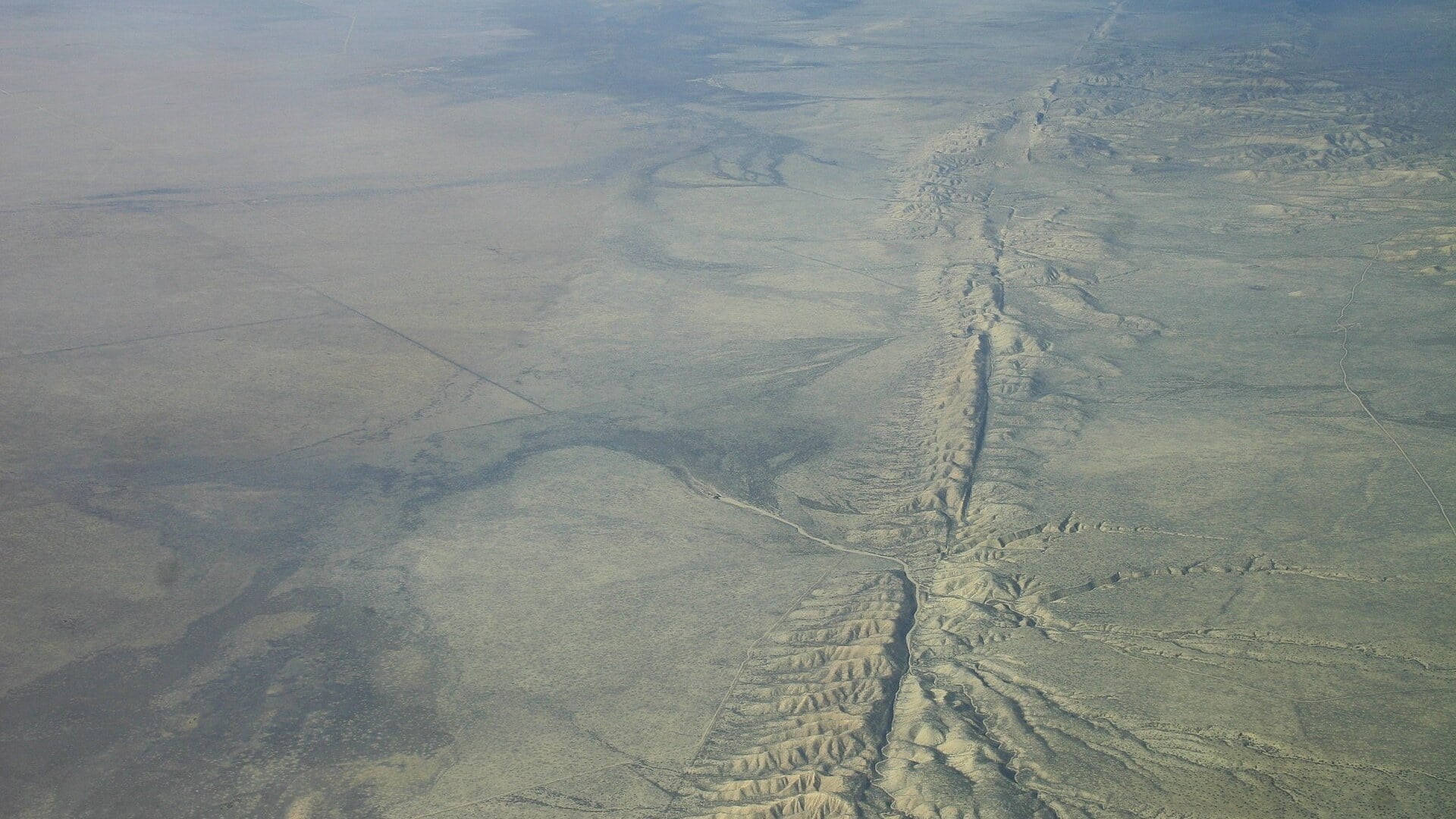
Neighbours that slide past, rather than move apart.
Ian Kluft (Ikluft) · CC BY-SA 4.0. Cropped to 16:9; crop shared under the same licence. Photograph, not a live feed.
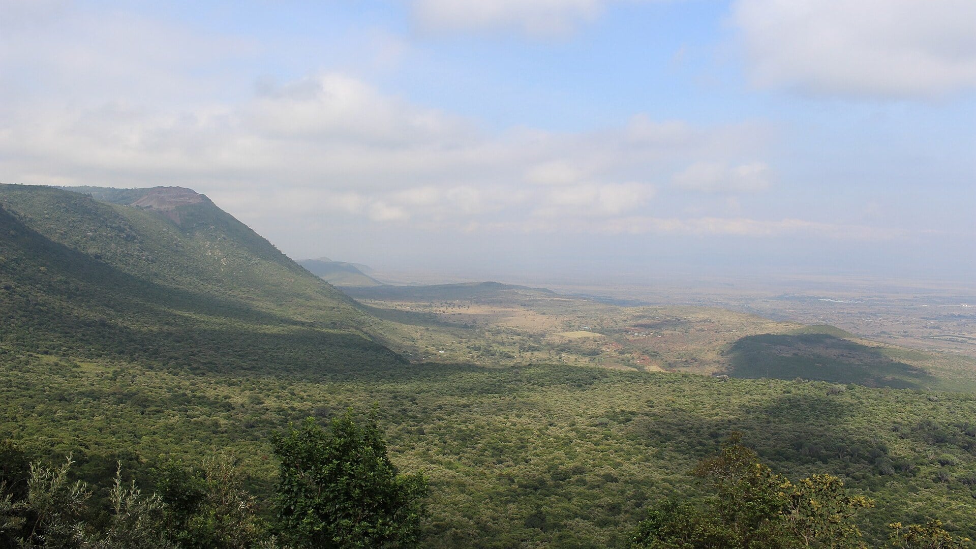
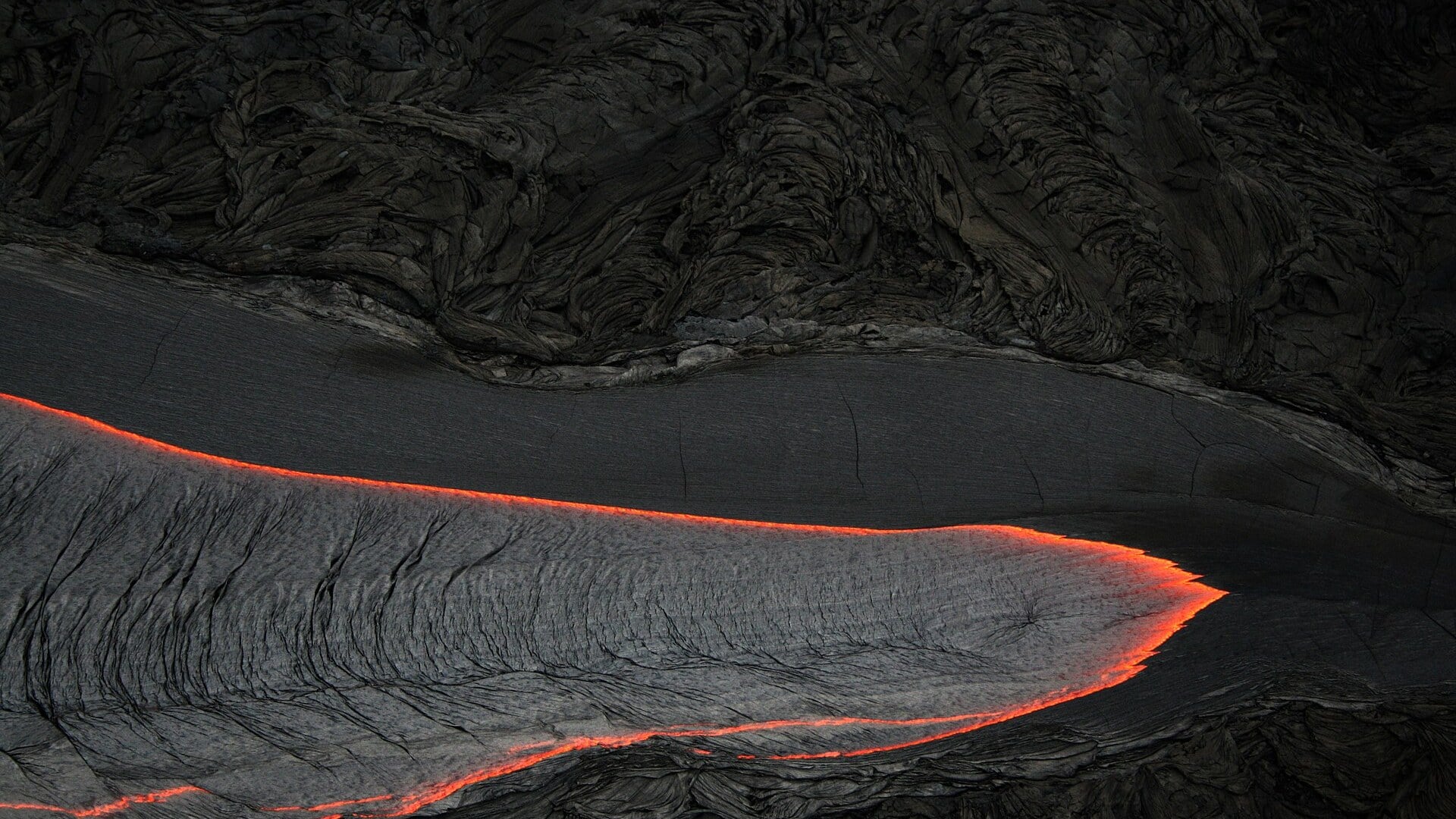
A moving plate leaves a volcanic trail.
Brocken Inaglory · CC BY-SA 3.0. Cropped to 16:9; crop shared under the same licence. Photograph, not a live feed.
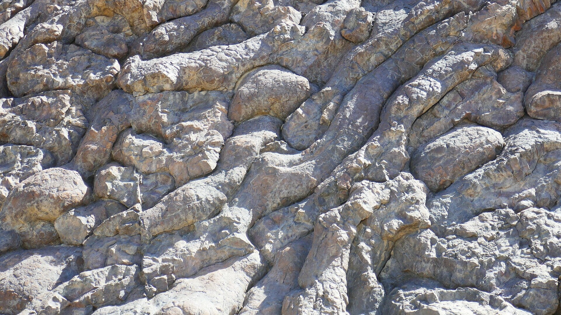
The ocean floor has come out for a walk on land.
Lionel Duchoiselle / geodiversite.net · CC BY-SA 3.0. Cropped to 16:9; crop shared under the same licence. Photograph, not a live feed.
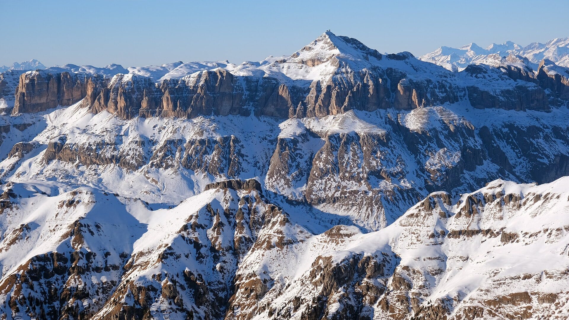
Today’s mountain skyline once belonged to a tropical sea.
kallerna · CC BY-SA 4.0. Cropped to 16:9; crop shared under the same licence. Photograph, not a live feed.
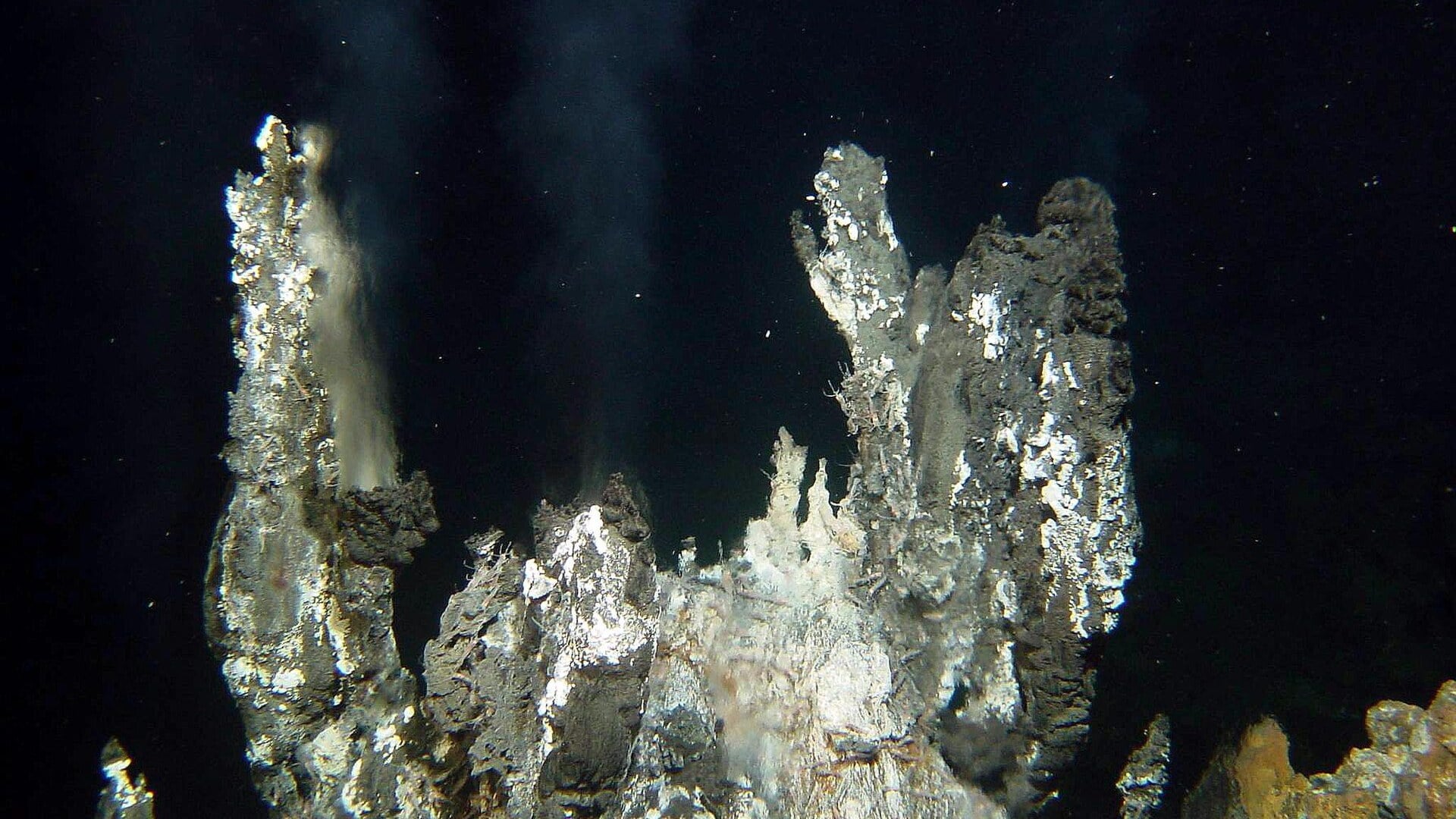
A planet-sized construction site, mostly underwater.
Ifremer (Bathyluck 2009 campaign) · CC BY 4.0. Cropped to 16:9; crop shared under the same licence. Photograph, not a live feed.
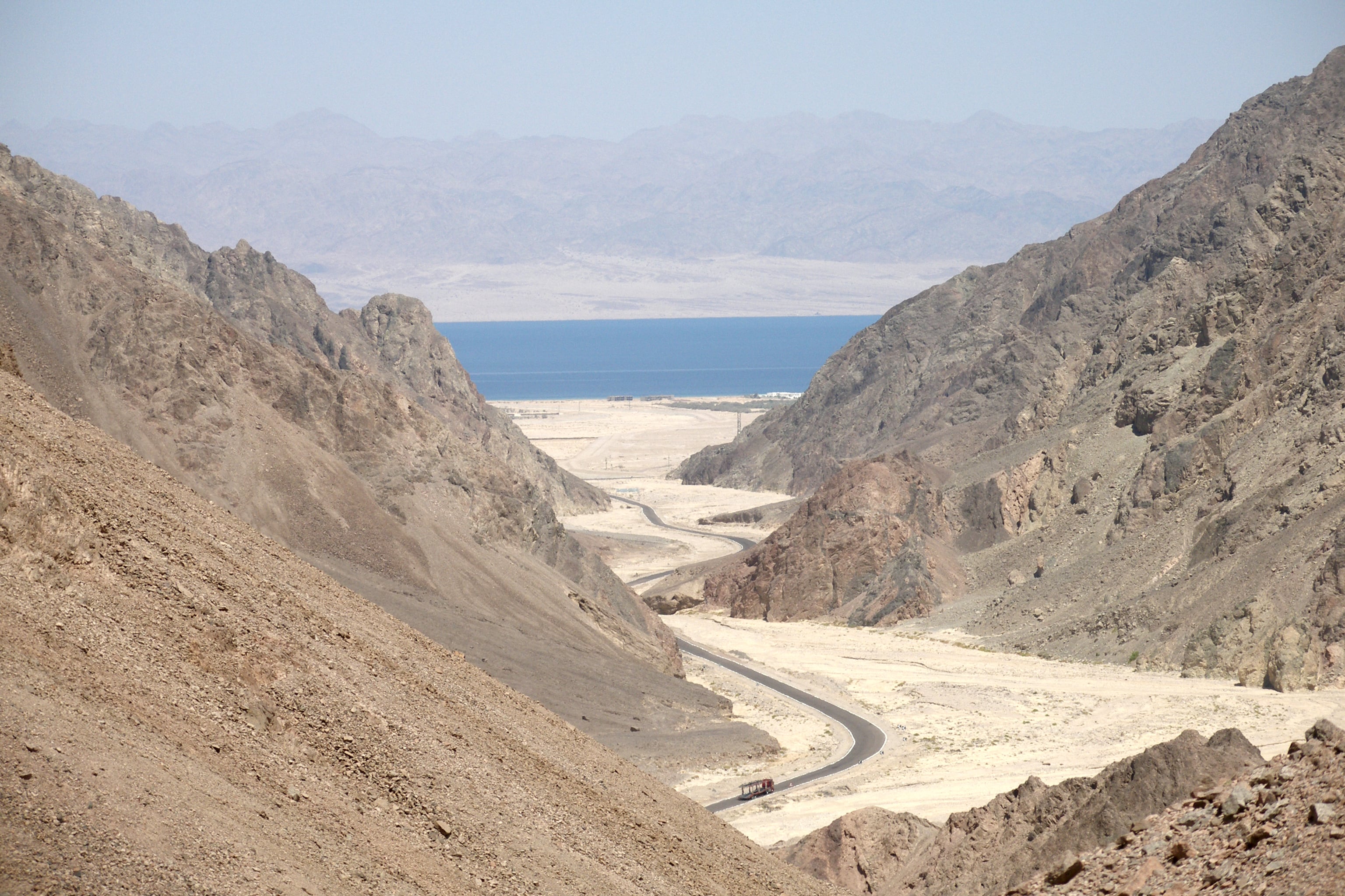
An ocean in the making, with desert mountains for witnesses.
Vyacheslav Argenberg · CC BY 4.0. Cropped to 16:9; crop shared under the same licence. Photograph, not a live feed.
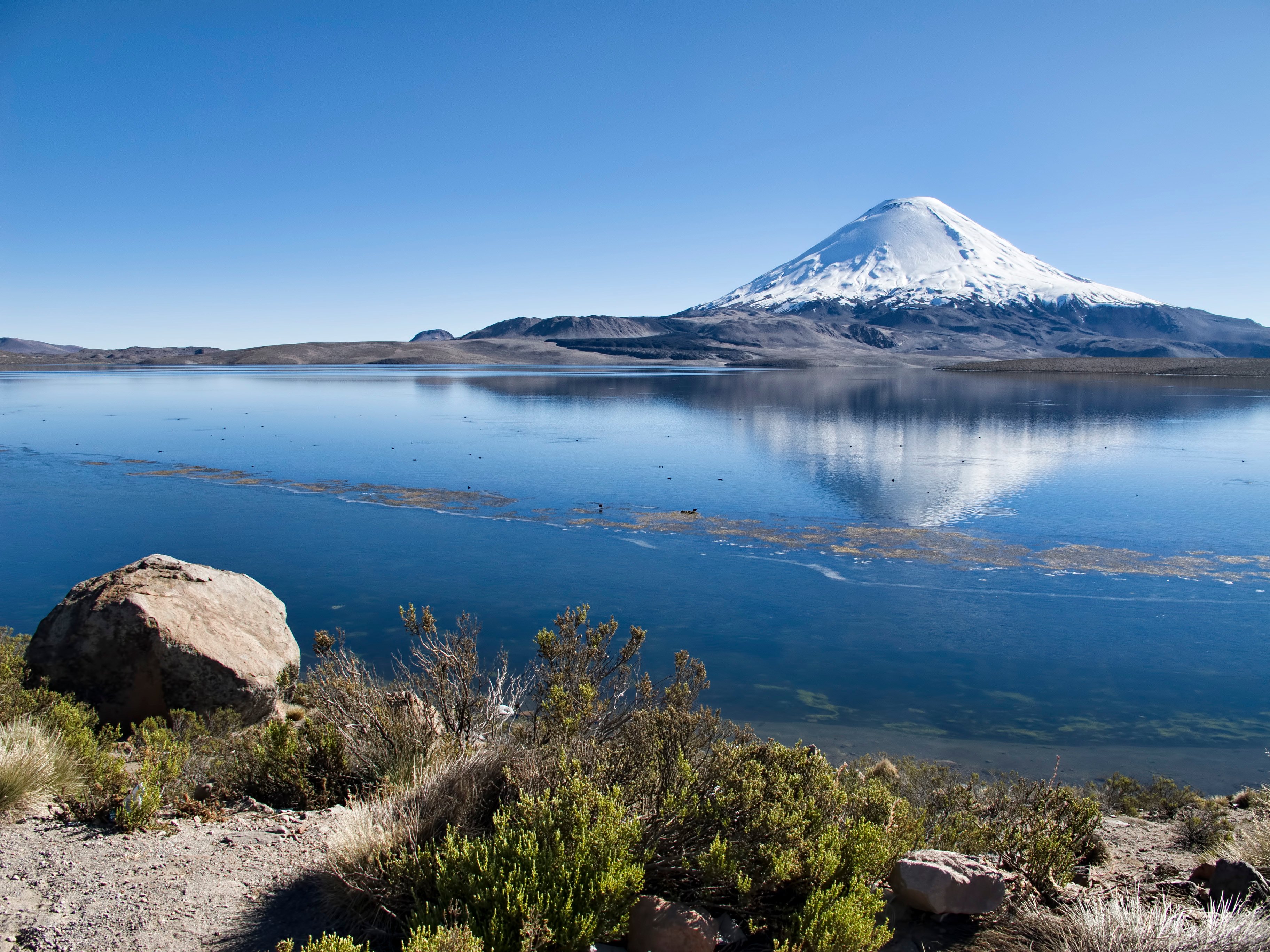
A mountain skyline with an oceanic plate disappearing beneath it.
Dan Lundberg · CC BY-SA 2.0. Cropped to 16:9; crop shared under the same licence. Photograph, not a live feed.
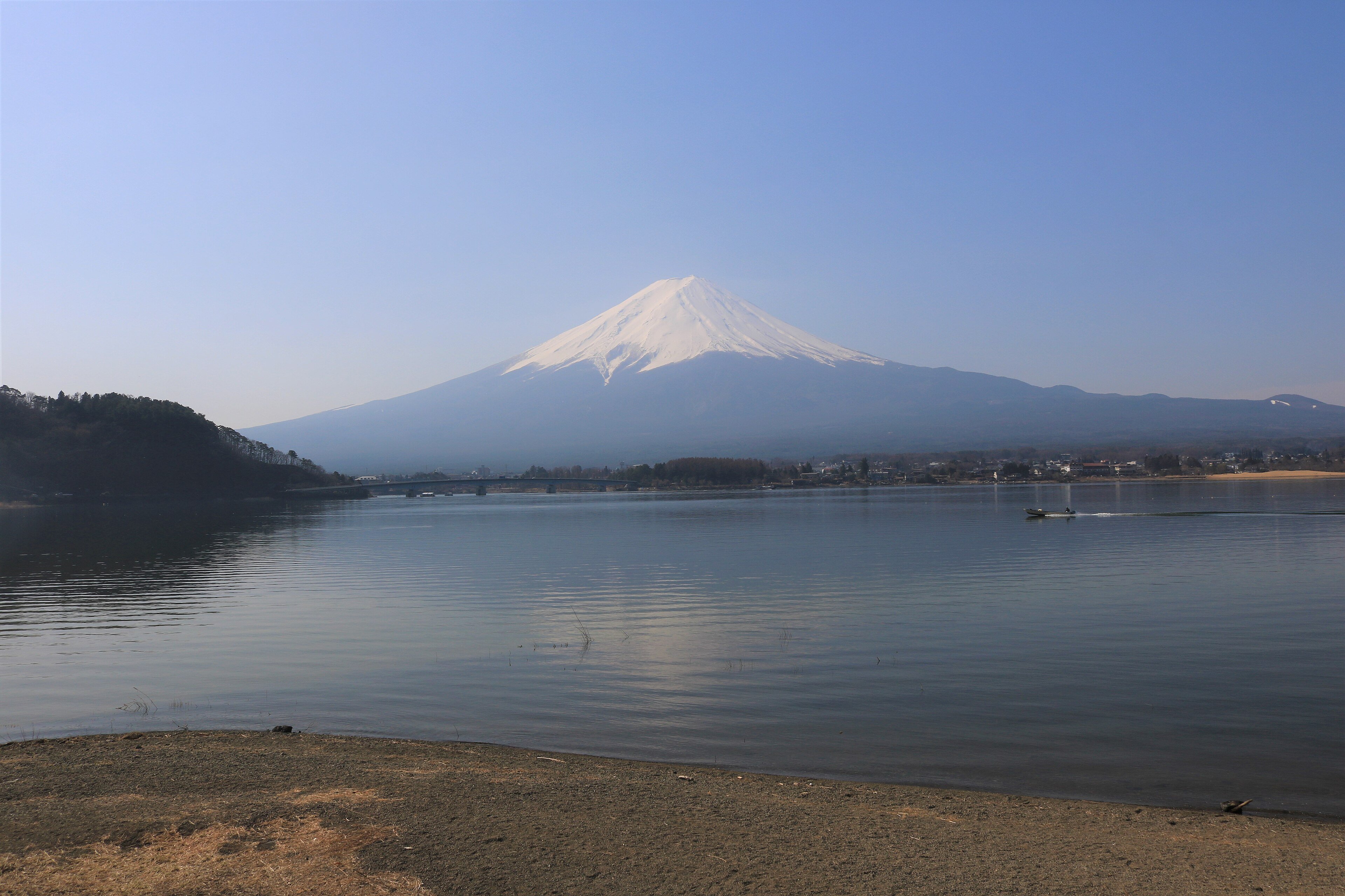
A serene skyline above a remarkably busy plate junction.
Alpsdake · CC BY-SA 4.0. Cropped to 16:9; crop shared under the same licence. Photograph, not a live feed.
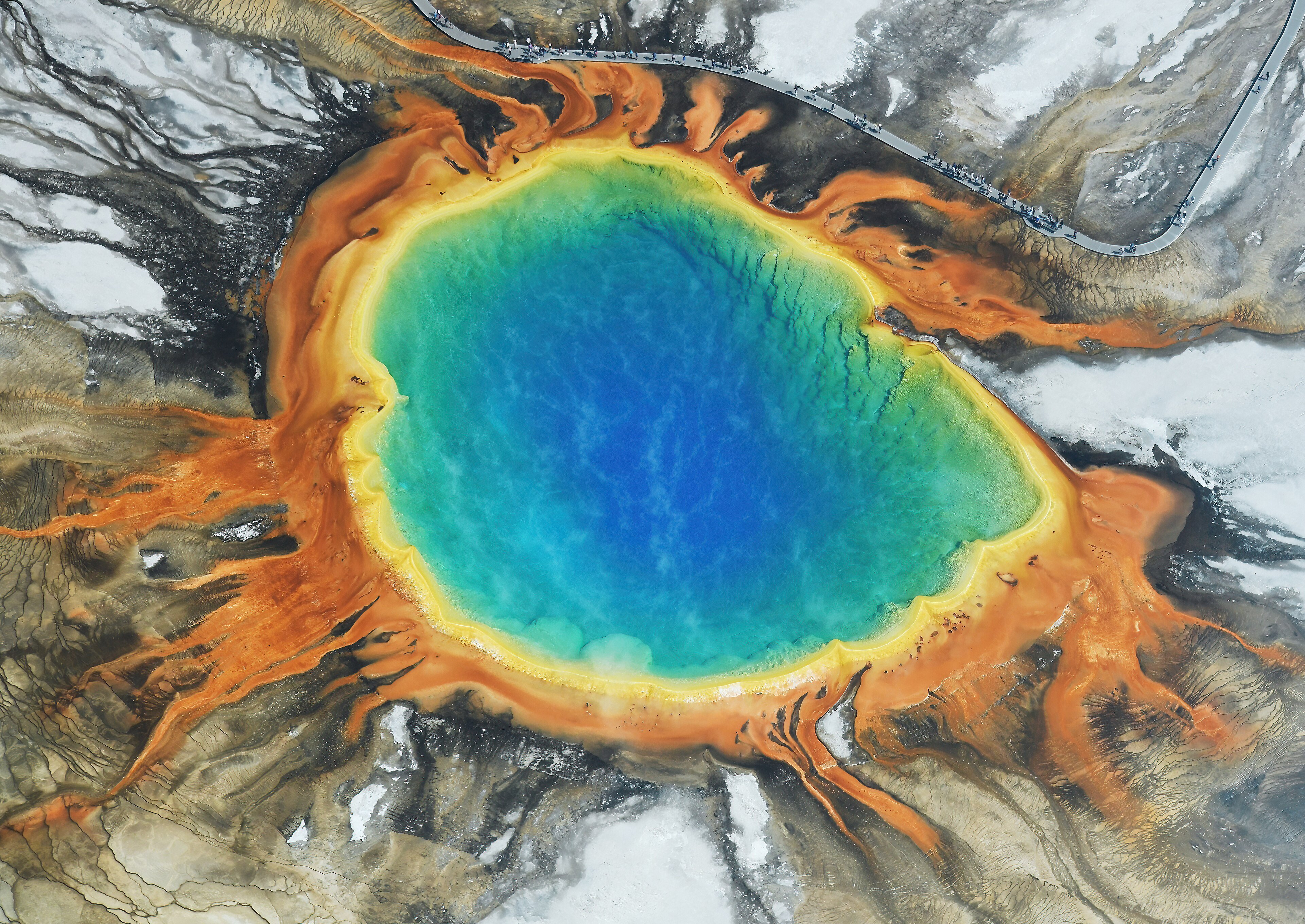
Earth’s central heating is showing through the floor.
Carsten Steger · CC BY-SA 4.0. Cropped to 16:9; crop shared under the same licence. Photograph, not a live feed.
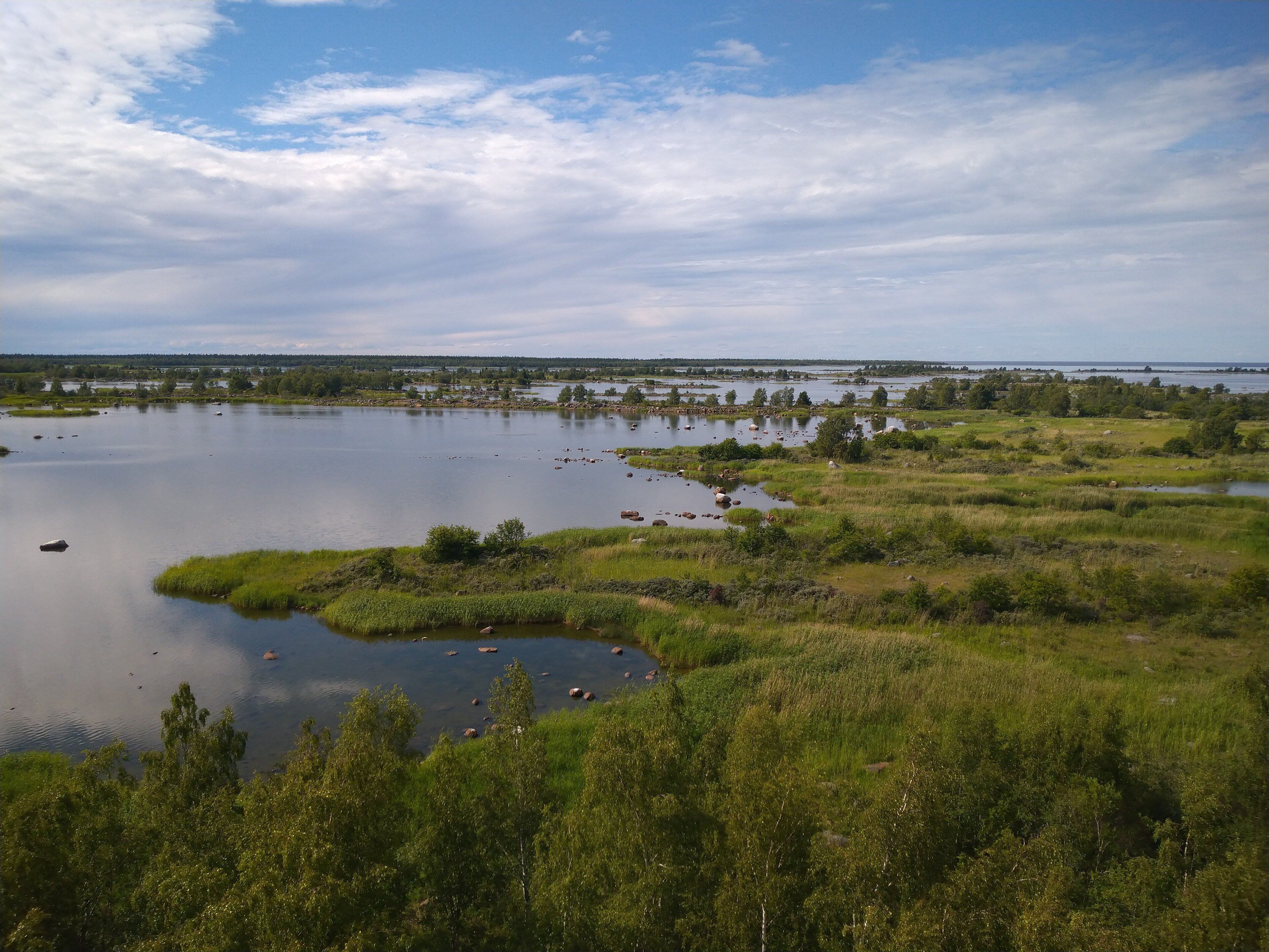
A coastline still getting back on its feet after the Ice Age.
LPfi · CC BY-SA 3.0. Cropped to 16:9; crop shared under the same licence. Photograph, not a live feed.
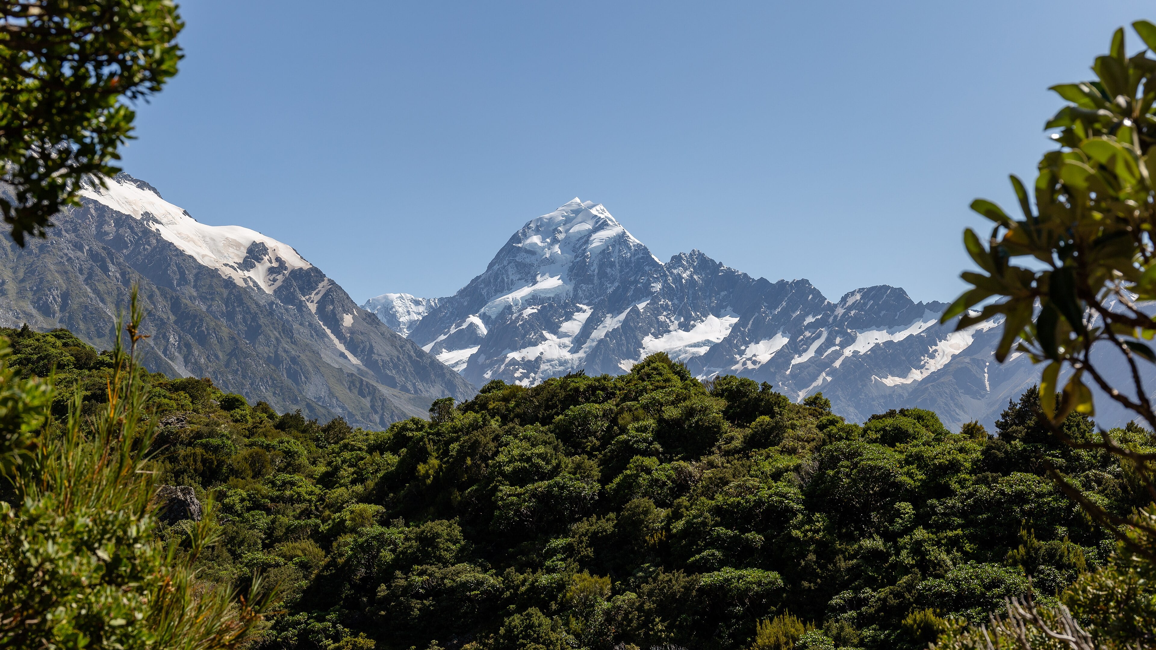
Mountains built where sideways motion comes with a squeeze.
Michal Klajban · CC BY-SA 4.0. Cropped to 16:9; crop shared under the same licence. Photograph, not a live feed.
Make the connections before the Atlantic gets in the way. Choose a piece, find its slot, and use a geological clue if you get stuck.
Use the outline and geological clues to reconnect the pieces. This is a simplified relationship puzzle, not a precise Pangaea reconstruction.
You have seen the models and read the rocks. Now put the evidence to work in an eight-question challenge.
Dates and depths are approximate. Models simplify a complicated Earth: they are not hazard forecasts or exact reconstructions. The selected readings explain both the evidence and its limits.
No. The 3D boundary experiments and continental breakup diagram are schematic teaching models. Speeds, shapes and vertical movements are exaggerated. The globe shows present-day geography; it does not display measured ancient coastlines.
No. It explains processes and geological evidence. It is not a live hazard monitor, an earthquake prediction system or a precise forecast of future geography.
Ma means millions of years ago in this timeline. The stages are selected snapshots with approximate dates, not a complete geological time scale.
Several independent lines of evidence agree: fossils and matching rock belts, seafloor ages and magnetic stripes, earthquake patterns, and direct satellite measurements of motion.