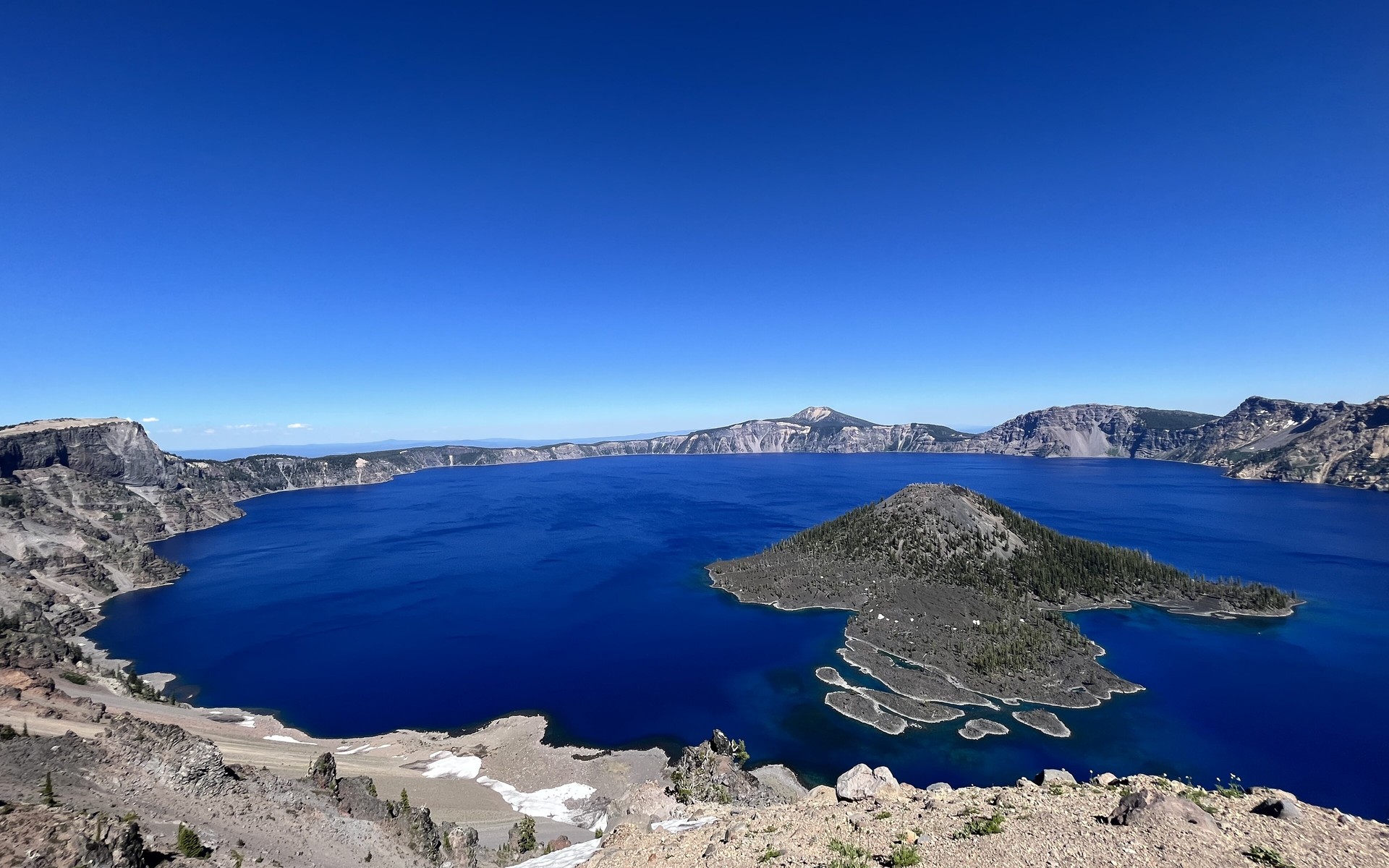
The deepest lake in the United States, filling the collapsed caldera of an ancient volcano.
Surface area
53 km²
Maximum depth
about 594 m
Elevation
1,883 m
Continent
North America
Countries
United States
Did you know?
Crater Lake is fed only by rain and snow — no rivers flow in or out — giving it some of the purest, bluest water in the world.
Little-known fact
It formed when Mount Mazama blew its top and collapsed about 7,700 years ago, an eruption witnessed by Native Americans.
Highlights
- Deepest lake in the USA
- Fed only by rain and snow
- Fills a collapsed volcano
Interactive · 3D dive
How deep does a lake go?
A lake is layered from the sunlit, weed-filled shallows down to a cold, dark bed. Tap a zone to dive the submersible through the water column — and meet the life that belongs at each depth.
Tip: hover the column to tilt it · tap a layer to dive
Littoral Zone
The warm, bright band close to shore where sunlight reaches the bottom. Reeds, water lilies and rooted plants grow thickly here, making it the busiest, most crowded part of the whole lake.
Who lives here