Geuest

Nature · Earth Science

Rivers

The moving arteries of the planet

Back to Nature

A river is a natural flowing watercourse that carries water — usually freshwater — from higher ground toward a sea, lake or another river. Driven only by gravity, rivers continuously sculpt the land, carving valleys, transporting sediment and building fertile plains and deltas that have cradled civilisation for millennia.

Longest
Nile / Amazon (~6,650 km)
Largest by flow
Amazon (~209,000 m³/s)
Oldest
Finke River, Australia (~350 M yrs)
Driving force
Gravity

How They Form

Rivers begin at a source (a spring, melting glacier or upland bog) and follow the steepest path downhill. As tributaries join, discharge grows and the river’s energy shifts from cutting downward in its youthful upper course to widening and depositing in its old lower course — a journey geographers call the long profile.

The Long Profile of a River

SourceWaterfall & rapids (V-valley)MeandersFloodplainDelta & mouthUPPER COURSEMIDDLE COURSELOWER COURSE

From steep, erosive headwaters to a broad depositional delta — how a single river changes character along its course.

Types & Details

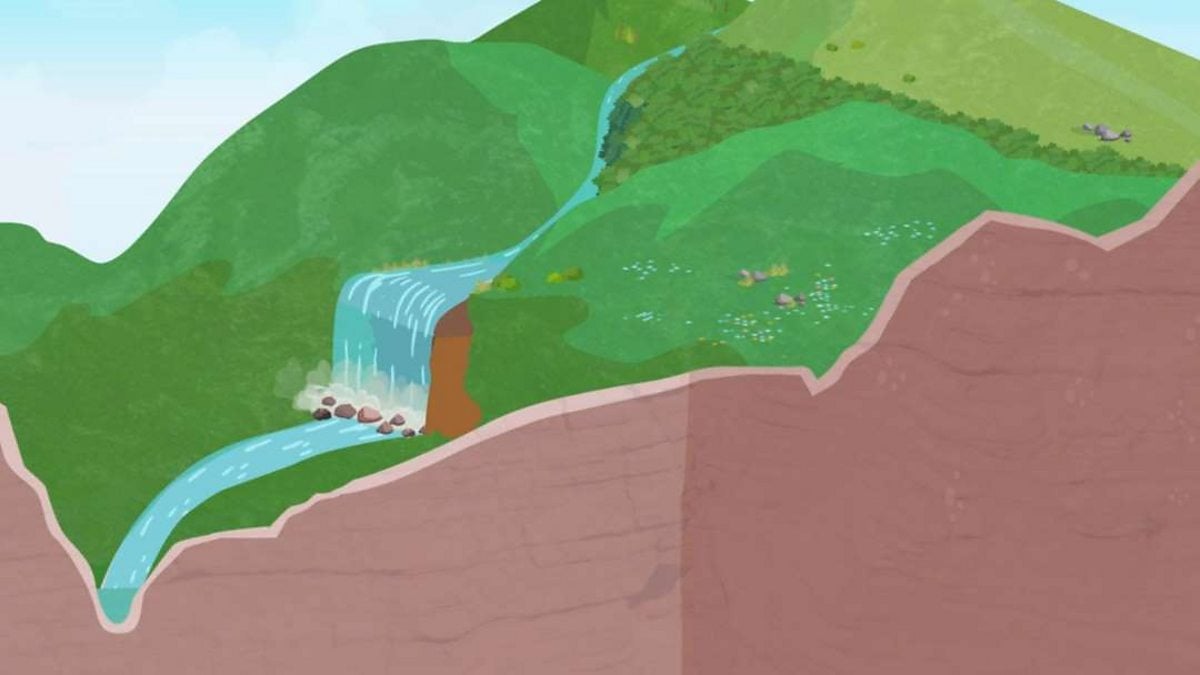
A fast mountain stream tumbling over rocks in a steep V-shaped valley
1

Youthful Stage (Upper Course)

Steep, fast and fiercely erosive

Early stage — near the source, high altitude
  • Steep gradient and fast, turbulent flow
  • Narrow V-shaped valleys and deep gorges
  • Rapids, waterfalls and plunge pools
  • Vertical (downward) erosion dominates

In its youth a river has abundant energy and little water, so it cuts downward into bedrock rather than sideways. Interlocking spurs, potholes and cascading waterfalls are signatures of this high-energy zone.

Example:Upper Ganges, Himalayas
A meandering river winding through a green valley
2

Mature Stage (Middle Course)

Widening, winding and gathering strength

Middle stage — gentler slopes downstream
  • Gentler gradient, larger volume of water
  • Meanders begin to swing across the valley
  • Lateral (sideways) erosion widens the channel
  • River cliffs and slip-off slopes form

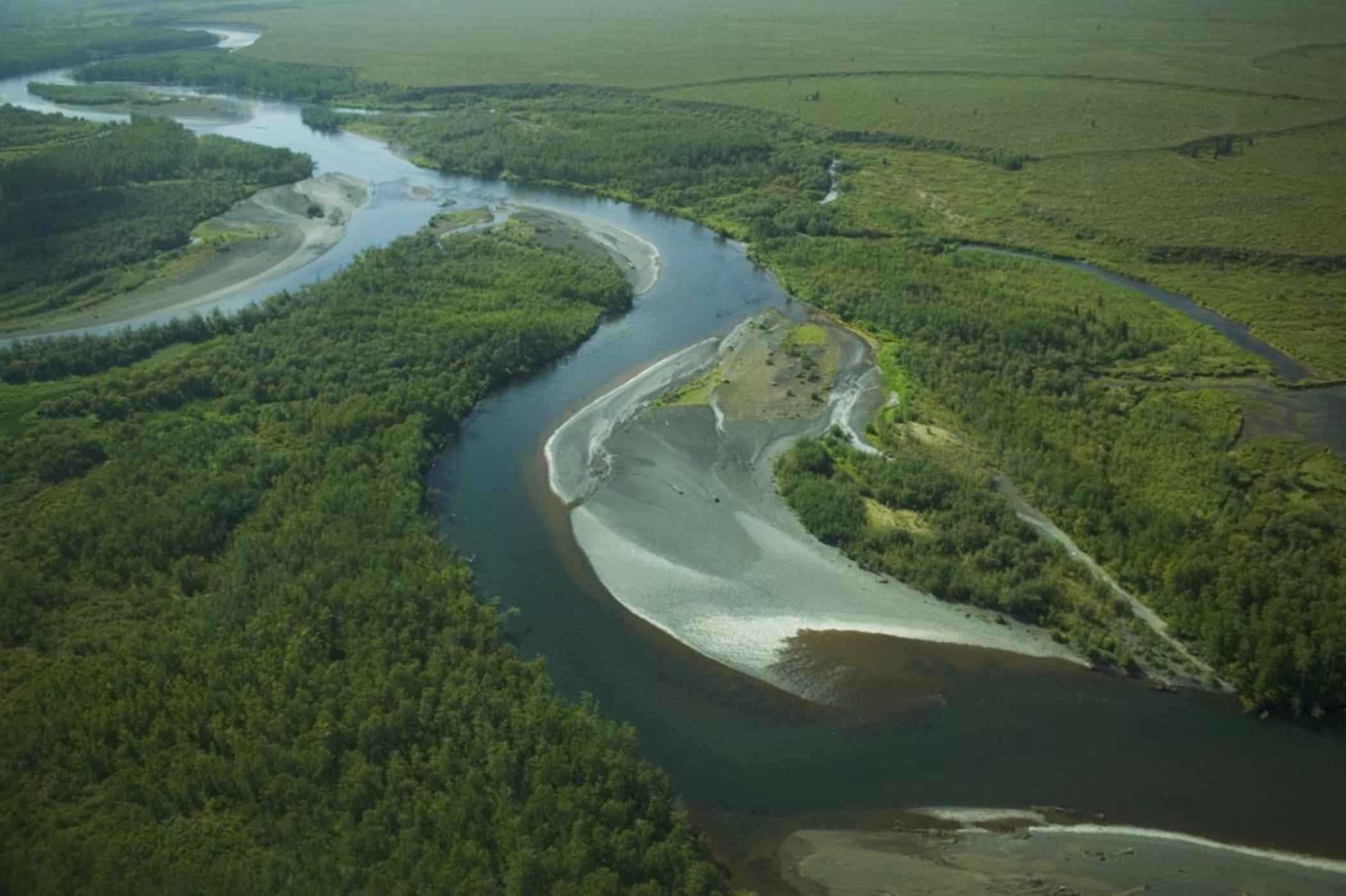
As tributaries add water, the river balances erosion and deposition. It begins to snake in graceful meanders, cutting the outer bank while depositing sand on the inner bank, steadily broadening its floodplain.

Example:River Severn, England
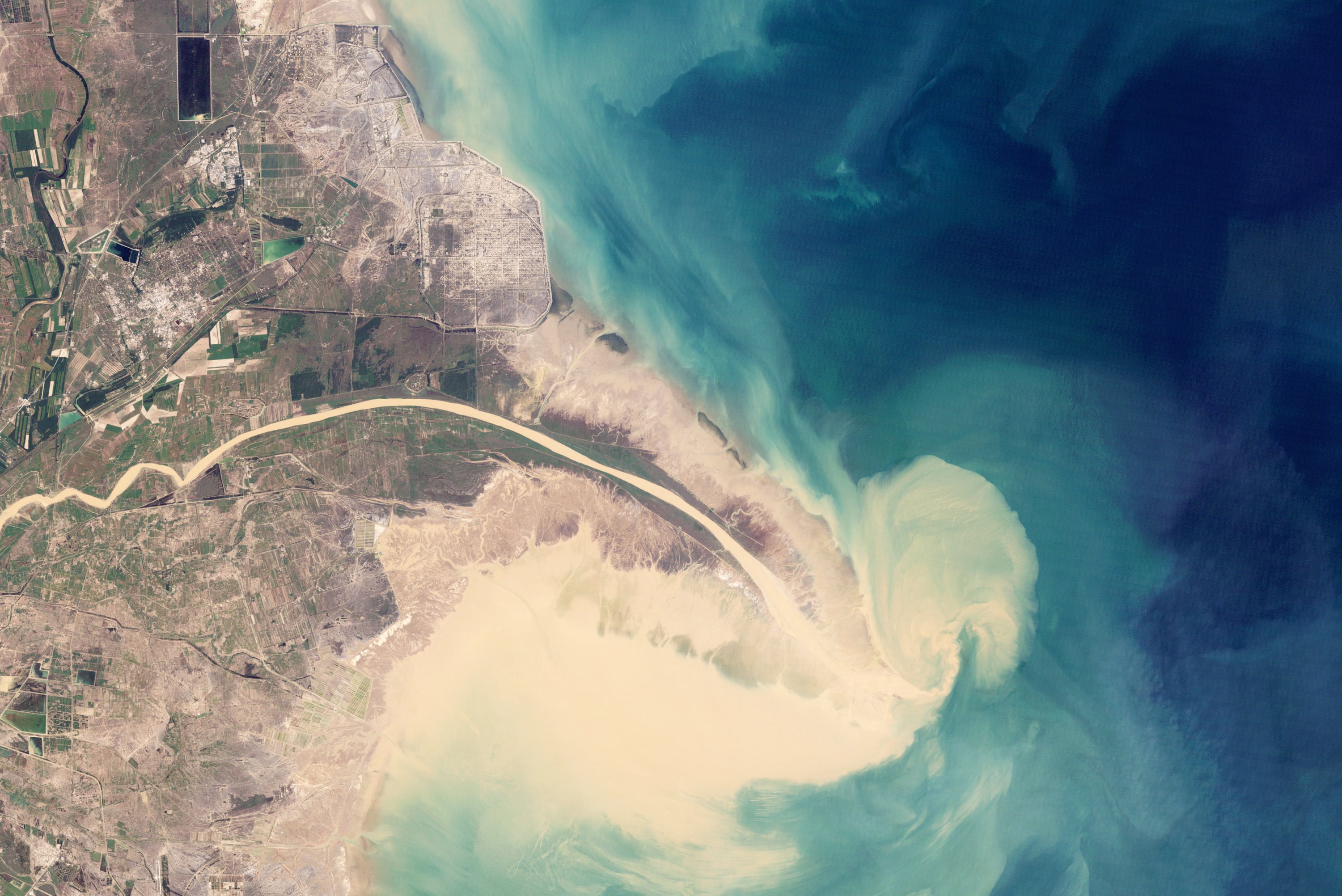
An aerial view of a wide river delta fanning into the sea
3

Old Age (Lower Course)

Broad, slow and richly depositional

Late stage — near the mouth, low-lying land
  • Very gentle gradient, wide slow channel
  • Extensive flat floodplains and levees
  • Large looping meanders and oxbow lakes
  • Deposition dominates — deltas and estuaries

With maximum water but minimal slope, the tired river drops its load, building fertile floodplains and fanning into deltas where it meets the sea. These plains are among Earth’s most productive farmland.

Example:Lower Mississippi, USA
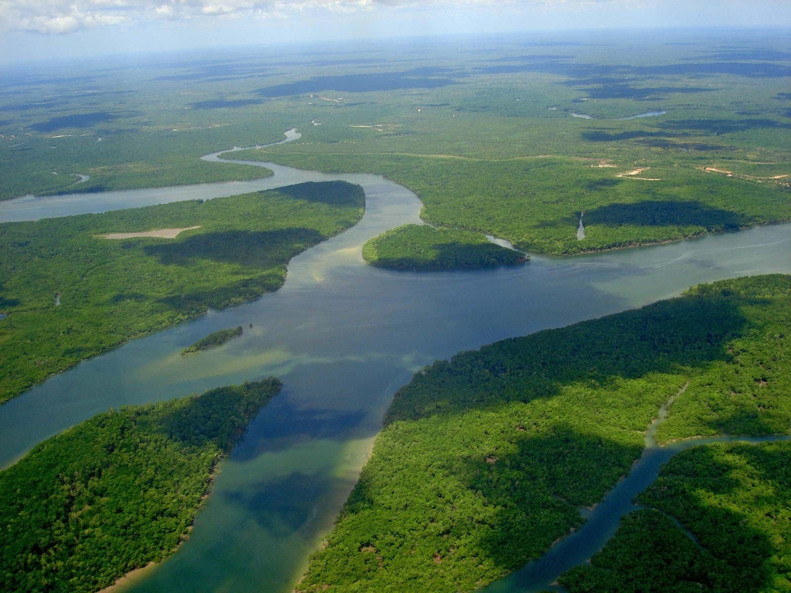
A vast wide perennial river flowing through rainforest
4

Perennial Rivers

Flowing all year round

Sustained by rain, groundwater or glaciers
  • Continuous flow throughout the year
  • Fed by reliable rainfall or snowmelt
  • Support permanent ecosystems and cities
  • Groundwater keeps them flowing in dry spells

Perennial rivers never run dry because their catchments store enough water — in aquifers, snowfields or glaciers — to sustain flow even through droughts. Most of the world’s great rivers are perennial.

Example:Amazon, South America
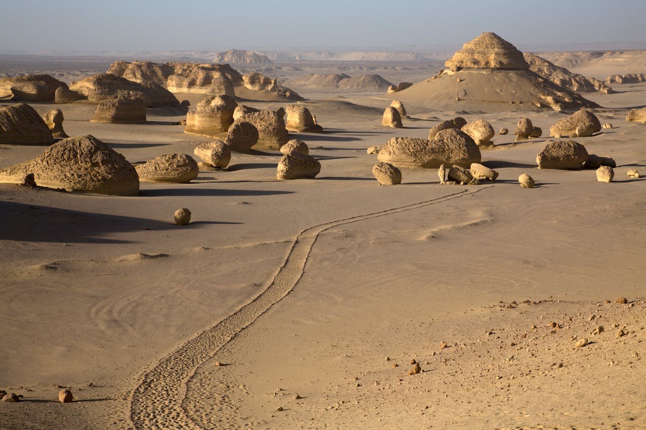
A dry sandy seasonal riverbed in an arid landscape
5

Seasonal & Ephemeral Rivers

Rivers that come and go

Flow only during wet seasons or after storms
  • Dry beds (wadis) for much of the year
  • Sudden, powerful flash floods when it rains
  • Common in arid and monsoon climates
  • Braided channels of sand and gravel

In deserts and monsoon lands, rivers may flow for only weeks at a time. Their dry channels — wadis or arroyos — can transform into raging torrents within minutes of a distant downpour.

Example:Todra, Morocco (wadi)