Geuest

Nature · Earth Science

Peninsulas, Bays & Straits

The intricate handshake of land and sea

Back to Nature

Where continents meet the ocean, the coastline frays into a rich vocabulary of shapes: peninsulas reaching out into the water, bays and gulfs biting inland, and narrow straits and isthmuses linking — or separating — great bodies of land and sea. These forms have shaped trade, migration and history for as long as people have sailed.

Largest peninsula
Arabian (~3.2 M km²)
Largest bay
Bay of Bengal
Busiest strait
Strait of Malacca
Shaped by
Sea level, tectonics, erosion

How They Form

Coastal outlines are sculpted by tectonic movement, changing sea levels, erosion and deposition. Rising seas drown lowlands to leave headlands and bays; sinking land or rifting opens gulfs and straits; and resistant rock stands out as peninsulas while softer rock is worn back into sweeping bays.

Reading a Coastline Map

Peninsula tip (sea on 3 sides)Isthmus (narrow land link)MainlandSurrounding sea

A plan view of how peninsulas, bays, gulfs, straits and isthmuses fit together where land and sea interlock.

Types & Details

An aerial view of a peninsula reaching out into the sea
1

Peninsulas

Land almost surrounded by water

Vary from ancient to recently drowned coasts
  • Surrounded by water on three sides
  • Connected to a larger landmass
  • Long coastlines relative to area
  • Often strategically important

A peninsula juts into the sea, joined to the mainland at just one edge. Their long coasts and command of sea routes have made many peninsulas cradles of maritime cultures.

Example:Iberian Peninsula, Europe
A wide curving bay where the sea reaches into the land
2

Bays & Gulfs

The sea reaching into the land

Often formed as seas rose and drowned lowlands
  • Water partly enclosed by land
  • Gulfs are large, bays smaller
  • Sheltered water ideal for ports
  • Curved, indented shorelines

A bay is a broad inlet where the sea curves into the land; a gulf is a larger version. Their sheltered waters have hosted many of the world’s greatest harbours and cities.

Example:Bay of Bengal, Indian Ocean
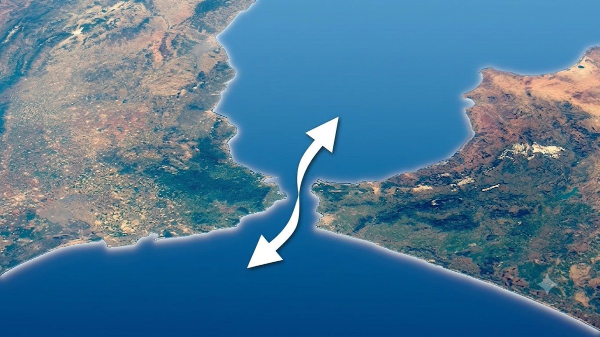
A narrow strait of water separating two landmasses
3

Straits & Channels

Narrow gateways between seas

Opened by rifting or rising seas
  • Narrow water linking two larger bodies
  • Often separate landmasses
  • Critical shipping chokepoints
  • Strong tidal currents

A strait is a narrow passage of water connecting two seas. Controlling these chokepoints — like Gibraltar or Malacca — has decided the fate of empires and world trade.

Example:Strait of Gibraltar
A narrow isthmus of land connecting two larger landmasses
4

Isthmuses & Capes

Land bridges and pointing headlands

Sculpted by sea level and erosion
  • Isthmus: narrow land linking two areas
  • Cape: a pointed headland into the sea
  • Key portage and canal sites
  • Often exposed and wave-battered

An isthmus is a slim neck of land joining two larger masses — famously cut by canals like Panama. A cape is a sharp headland thrusting into the sea, often a landmark for sailors.

Example:Isthmus of Panama