Southern Africa
South Africa
The top 10 natural landmarks of South Africa — real photos, locations and fascinating facts for every wonder.
 Africa
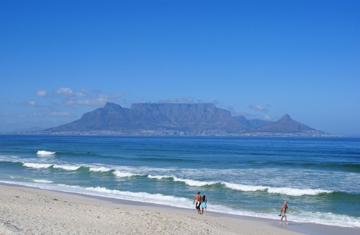 Mountains
Table Mountain
Cape Town
Table Mountain is a flat-topped mountain forming a prominent landmark overlooking the city of Cape Town in South Africa.
Did you know?
A flat-topped massif presiding over Cape Town and two oceans.
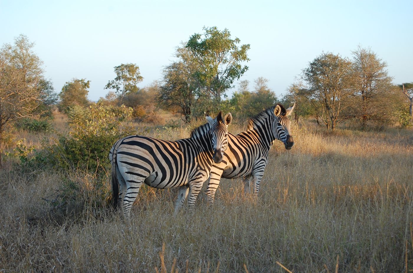 Grasslands
Kruger National Park
Mpumalanga / Limpopo
Kruger National Park is a national park in South Africa covering an area of 19,623 km2 (7,576 sq mi) in the provinces of Limpopo and Mpumalanga in the country's northeast. It extends 360 km (220 mi) from north to south and 65 km (40 mi) from east to west.
Did you know?
One of Africa's great game reserves, home to the Big Five.
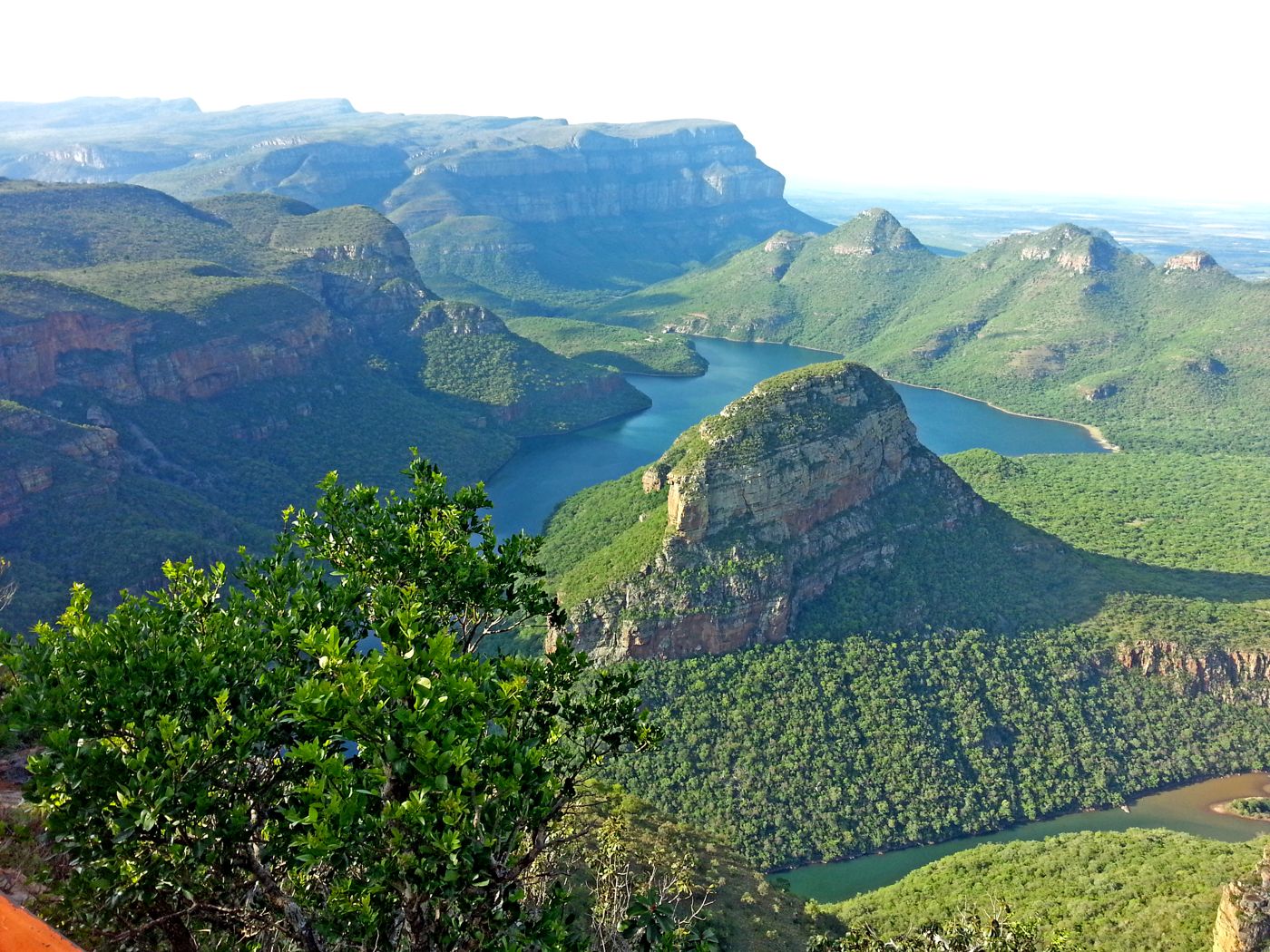 Canyons
Blyde River Canyon
Mpumalanga
The Blyde River Canyon is a 26 km long canyon located in Mpumalanga, South Africa. It is the third-largest canyon on Earth, behind the Grand Canyon and the Fish River Canyon.
Did you know?
One of the world's largest green canyons, lush and dramatic.
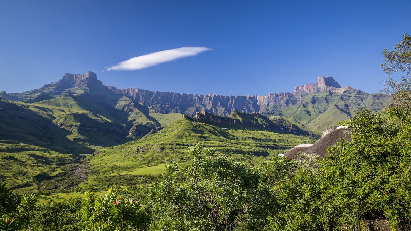 Mountains
Drakensberg
KwaZulu-Natal
The Drakensberg is the eastern portion of the Great Escarpment, which encloses the central Southern African plateau. The Great Escarpment reaches its greatest elevation – 2,000 to 3,482 metres within the border region of South Africa and Lesotho.
Did you know?
A great basalt escarpment of soaring buttresses and San rock art.
 Coasts
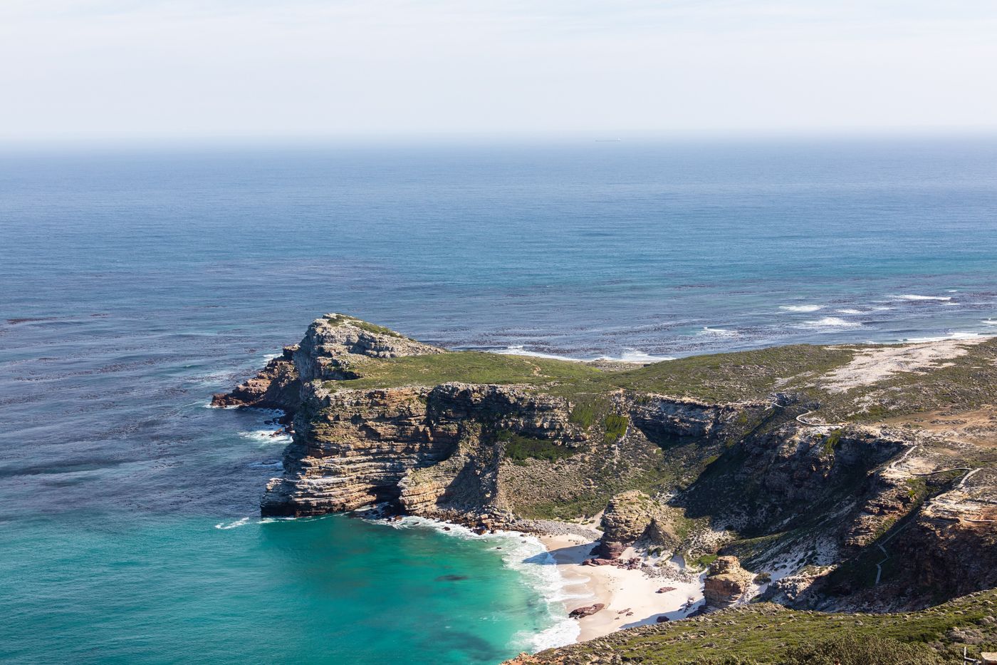
Cape of Good Hope
Western Cape
The Cape of Good Hope is a rocky headland on the Atlantic coast of the Cape Peninsula in South Africa.
Did you know?
A rocky headland where the Atlantic meets the cold Benguela current.
 Coasts
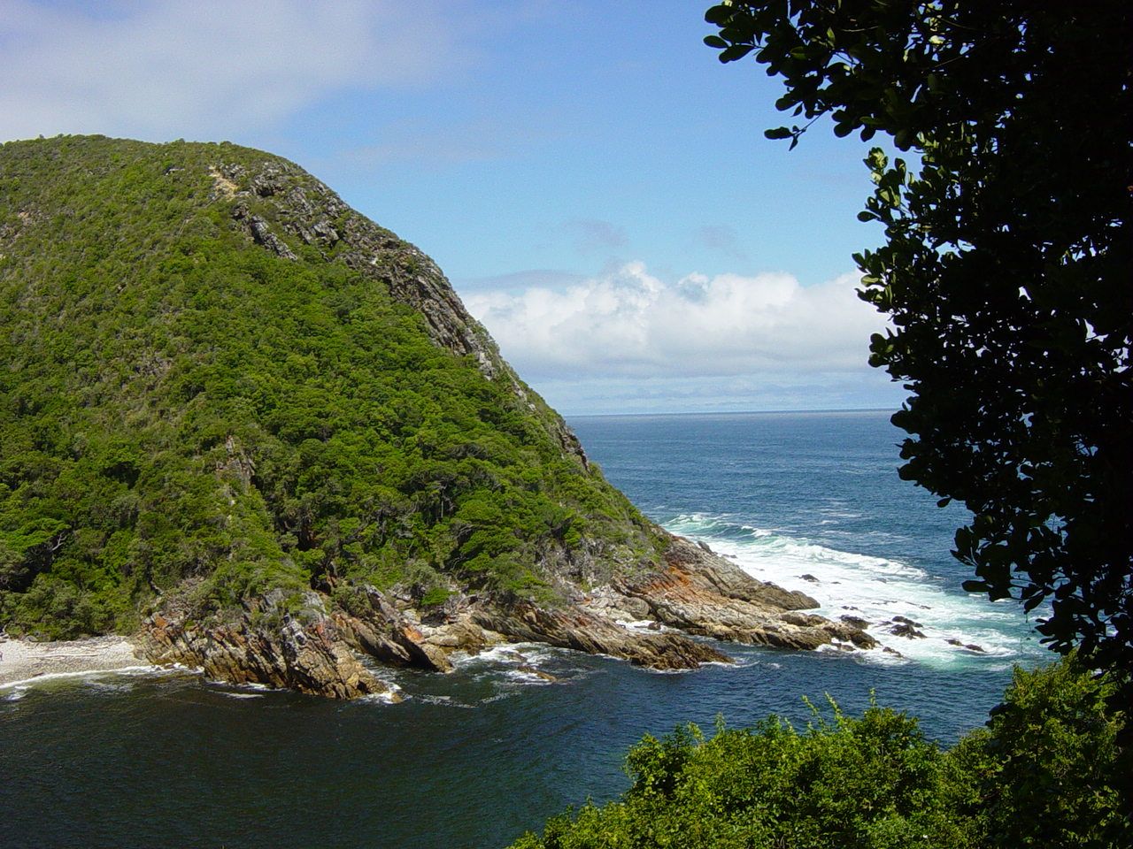
Garden Route
Western Cape
The Garden Route is a 300-kilometre (190 mi) stretch of the south-eastern coast of South Africa which extends from Witsand in the Western Cape to the border of Tsitsikamma Storms River in the Eastern Cape. The name comes from the verdant and ecologically diverse vegetation encountered here and the numerous estuaries and lakes dotted along the coastline.
Did you know?
A coast of lagoons, forests and golden beaches.
 Mountains
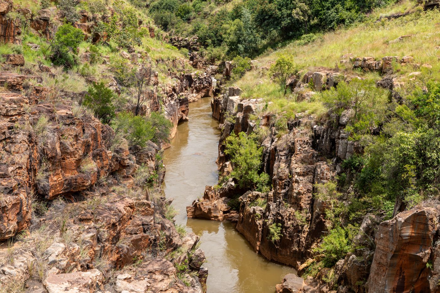
God's Window
Mpumalanga
The Panorama Route is a scenic road in South Africa connecting several cultural and natural points of interest. The route, steeped in the history of South Africa, is in Mpumalanga province, centred around the Blyde River Canyon, the world's third largest canyon.
Did you know?
A cliff-edge viewpoint over the lowveld stretching to the horizon.
 Waterfalls
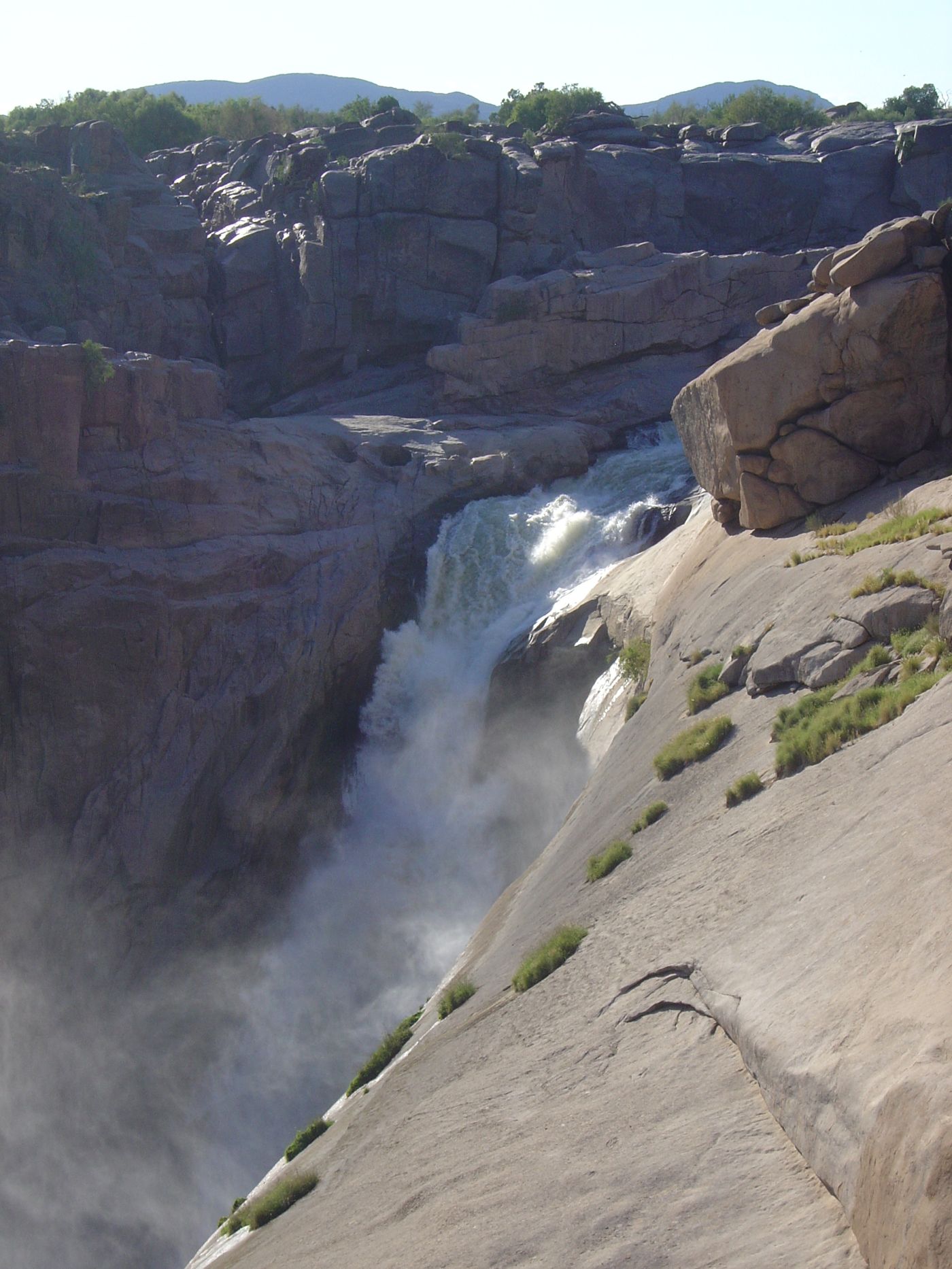
Augrabies Falls
Northern Cape
The Augrabies Falls is a waterfall on the Orange River, the largest river in South Africa. Since 1966 the waterfall, set in a desolate and rugged milieu, is enclosed by the Augrabies Falls National Park.
Did you know?
The Orange River crashing into a granite gorge.
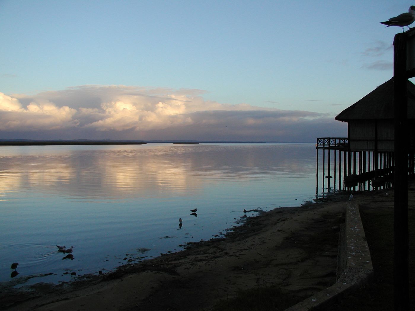 Wetlands
iSimangaliso Wetland
KwaZulu-Natal
iSimangaliso Wetland Park is situated on the east coast of KwaZulu-Natal, South Africa, about 235 km (146 mi) north of Durban by road. It is South Africa's third-largest protected area, spanning 280 km (170 mi) of coastline, from the Mozambican border in the north to Mapelane south of the Lake St. Lucia estuary, and made up of around 3,280 km2 (1,270 sq mi) of natural ecosystems, managed by the iSimangaliso Authority.
Did you know?
Lakes, dunes and estuaries alive with hippos and crocodiles.
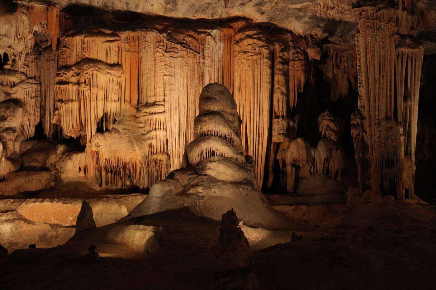 Caves
CavesCango Caves
Western Cape
The Cango Caves are located in Precambrian limestones at the foothills of the Swartberg range near the town of Oudtshoorn, in the Western Cape Province of South Africa. The principal cave is one of the country's finest, best known, and most popular tourist caves and attracts many visitors from overseas.
Did you know?
Vast limestone chambers in the foothills of the Swartberg.