South-Eastern Asia
Vietnam
The top 5 natural landmarks of Vietnam — real photos, locations and fascinating facts for every wonder.
 Asia
 Coasts
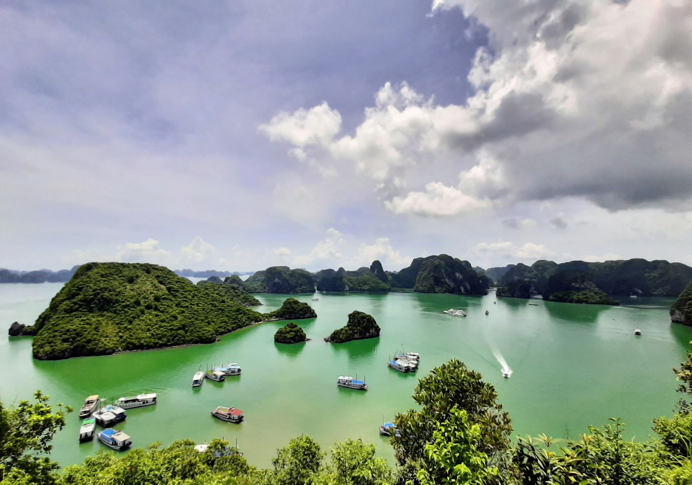
Hạ Long Bay
northern Vietnam
Hạ Long Bay or Halong Bay is a bay located in Northeastern Vietnam, administered by the city of Quảng Ninh. The name Hạ Long means "descending dragon".
Did you know?
Thousands of limestone karsts rising from emerald waters.
 Caves
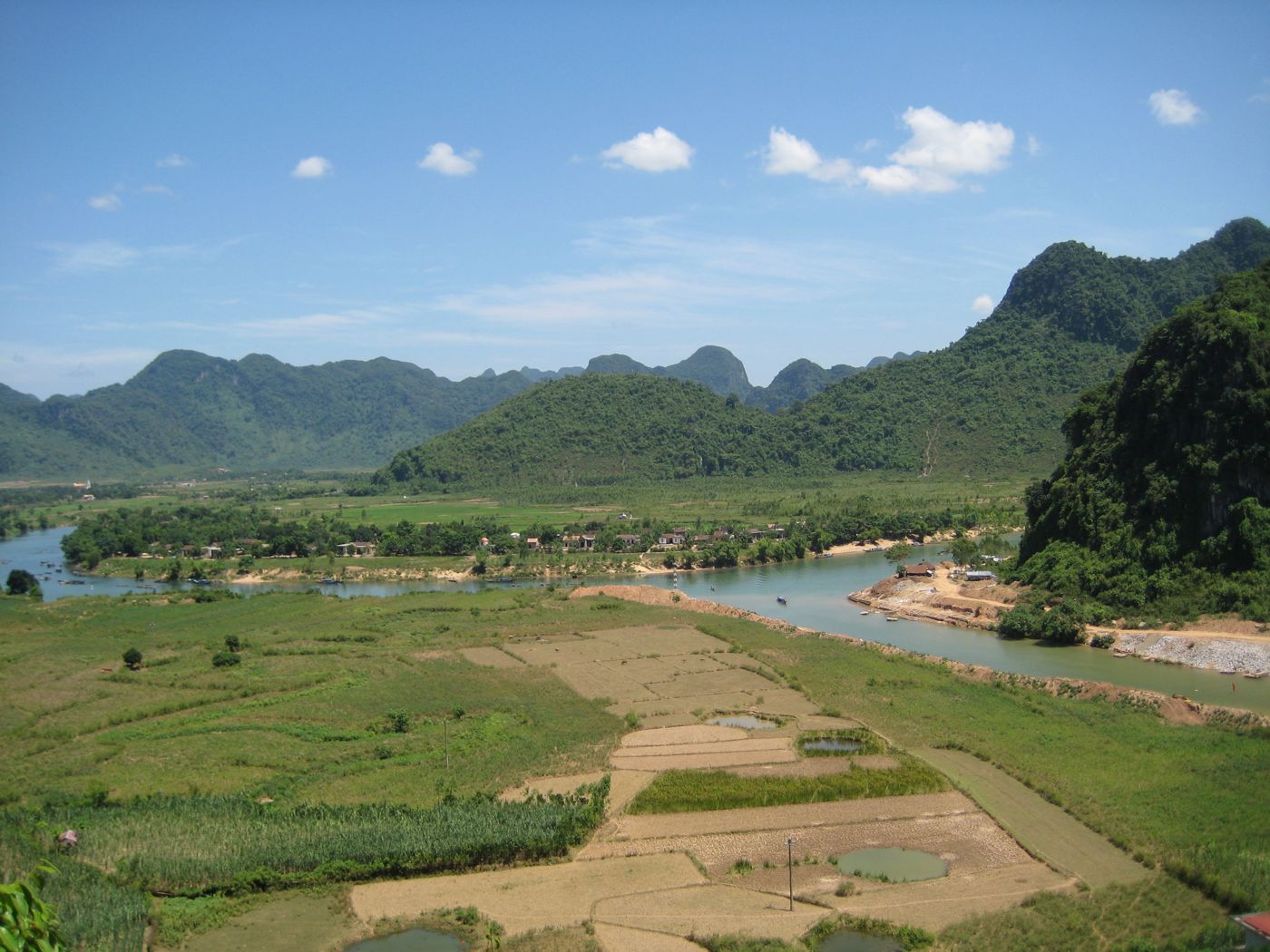
Phong Nha-Kẻ Bàng
central Vietnam
Phong Nha–Kẻ Bàng is a national park and UNESCO World Heritage Site in the Bố Trạch and Minh Hóa Commune of central Quảng Trị Province in the North Central Coast region of Vietnam, about 500 km south of Hanoi. The park borders the Hin Namno National Park in Khammouane Province, Laos to the west and 42 km east of the East Sea from its borderline point.
Did you know?
Home to Sơn Đoòng, the largest cave passage on Earth.
 Mountains
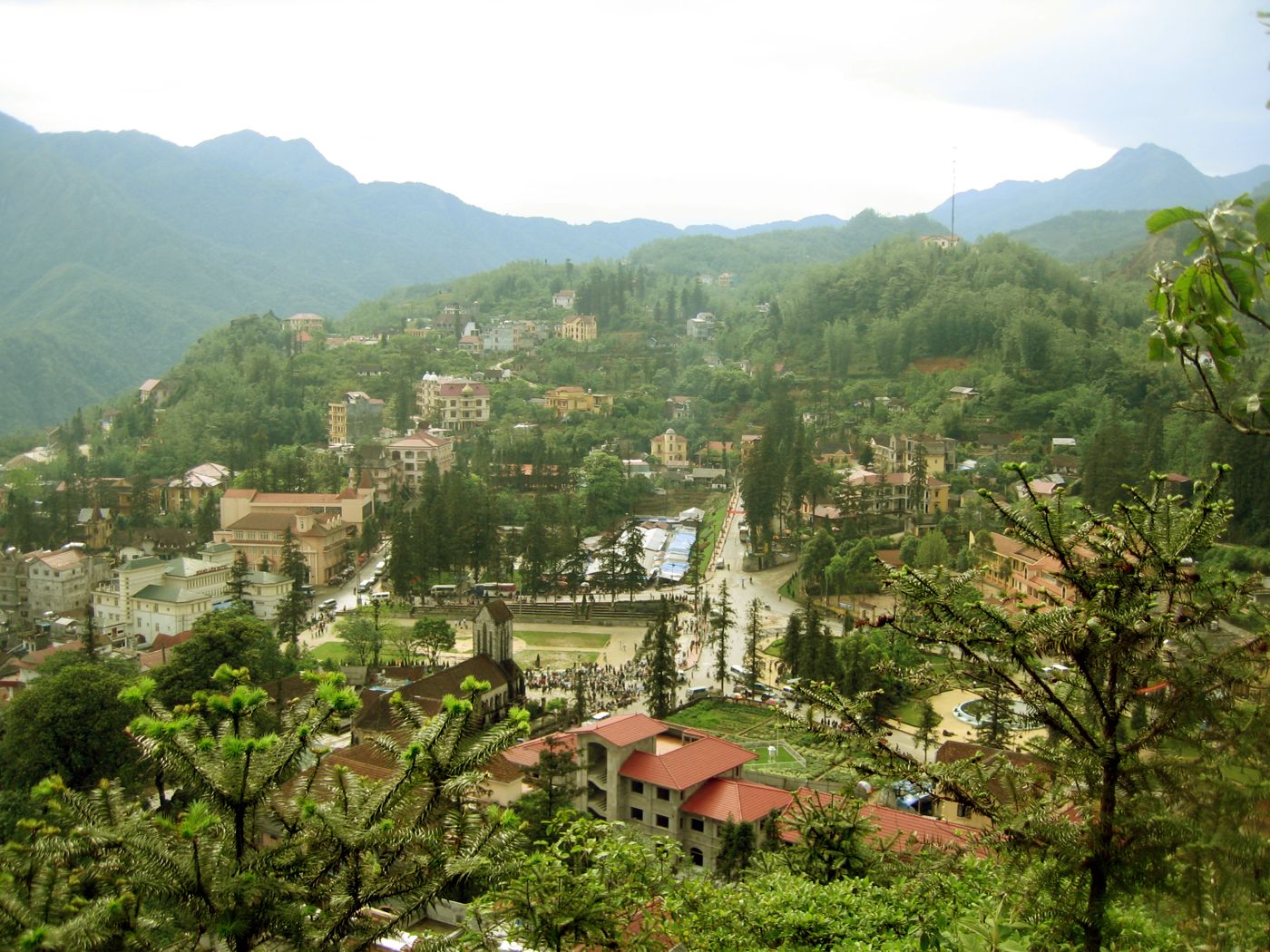
Sa Pa
northwest Vietnam
Sa Pa or Sapa is a ward of Lào Cai Province in Northwest Vietnam. Prior to July 2025, it was a frontier township and capital of the former Sa Pa District.
Did you know?
Misty highlands of cascading rice terraces and tall peaks.
 Rivers
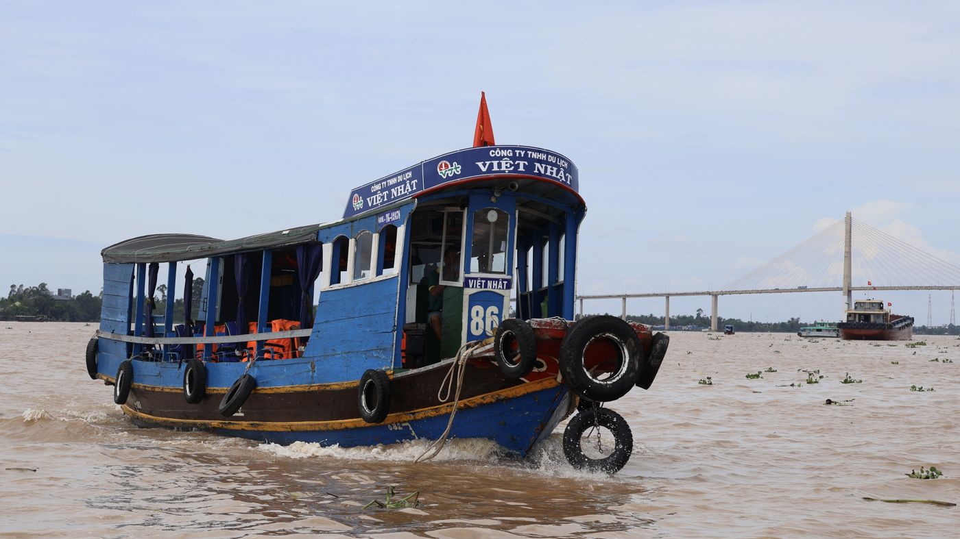
Mekong Delta
southern Vietnam
The Mekong Delta, also known as the South-western Region or the Western Region, is the region in southwestern Vietnam where the Mekong River approaches and empties into the sea through a network of distributaries. The Mekong delta region encompasses a large portion of south-western Vietnam, of an area of over 40,500 km2 (15,600 sq mi).
Did you know?
A watery maze of channels, floating markets and rice paddies.
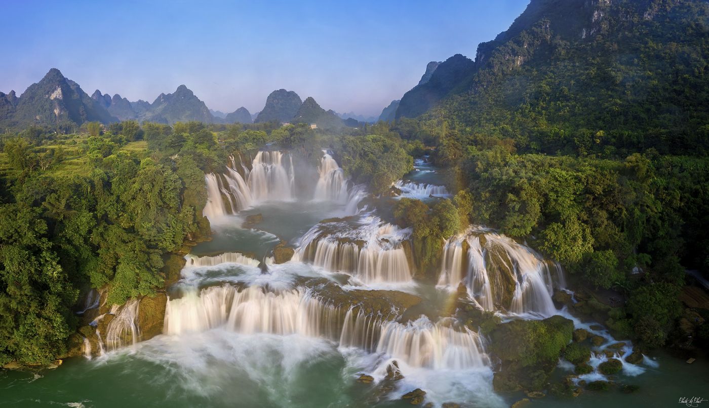 Waterfalls
Ban Gioc Falls
Cao Bằng
Bản Giốc – Detian Falls or Bản Giốc Falls is a collective name for two waterfalls on the Quây Sơn River that straddle the international border between China and Vietnam; more specifically located between the Karst hills of Daxin County, Guangxi and Trùng Khánh District, Cao Bằng Province. The waterfalls are located 272 km (169 mi) north of Hanoi.
Did you know?
A broad, tiered waterfall on the border with China.