South America
Uruguay
The top 10 natural landmarks of Uruguay — real photos, locations and fascinating facts for every wonder.
 Americas
 Coasts
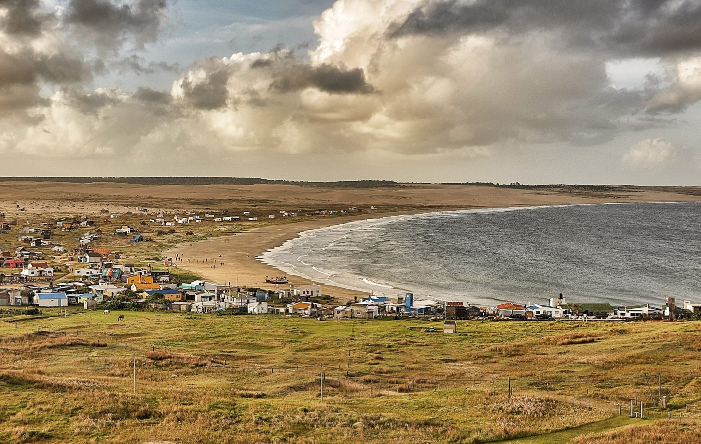
Cabo Polonio
Rocha
Cabo Polonio is a hamlet located in the eastern coast of Uruguay in the Rocha Department. It is located in one of the country's SNAP areas and is notable for its natural features.
Did you know?
A roadless dune-swept cape with a large sea lion colony.
 Canyons
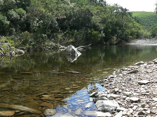
Quebrada de los Cuervos
Treinta y Tres
The Quebrada de los Cuervos (Spanish for Crows Ravine) is an important landform in Treinta y Tres Department, Uruguay. Crossed by the Yerbal Chico creek, it constitutes a natural protected area.
Did you know?
Uruguay's first protected area, a deep green ravine of native forest.
 Wetlands
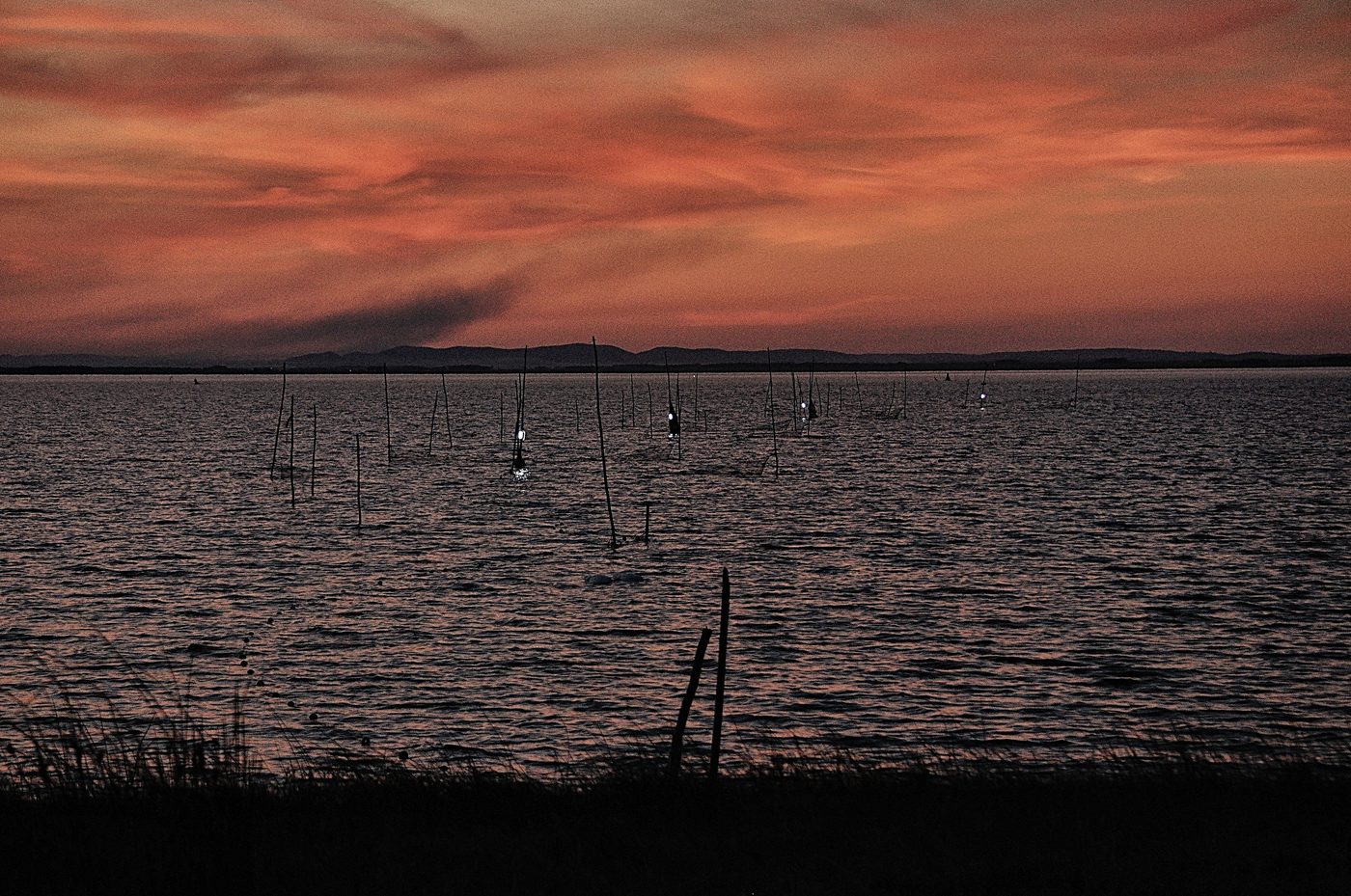
Laguna de Rocha
Rocha
Laguna de Rocha (Rocha Lagoon) is a body of water located in Rocha Department, Uruguay.
Did you know?
A coastal lagoon alive with flamingos, swans and black-necked swans.
 Mountains
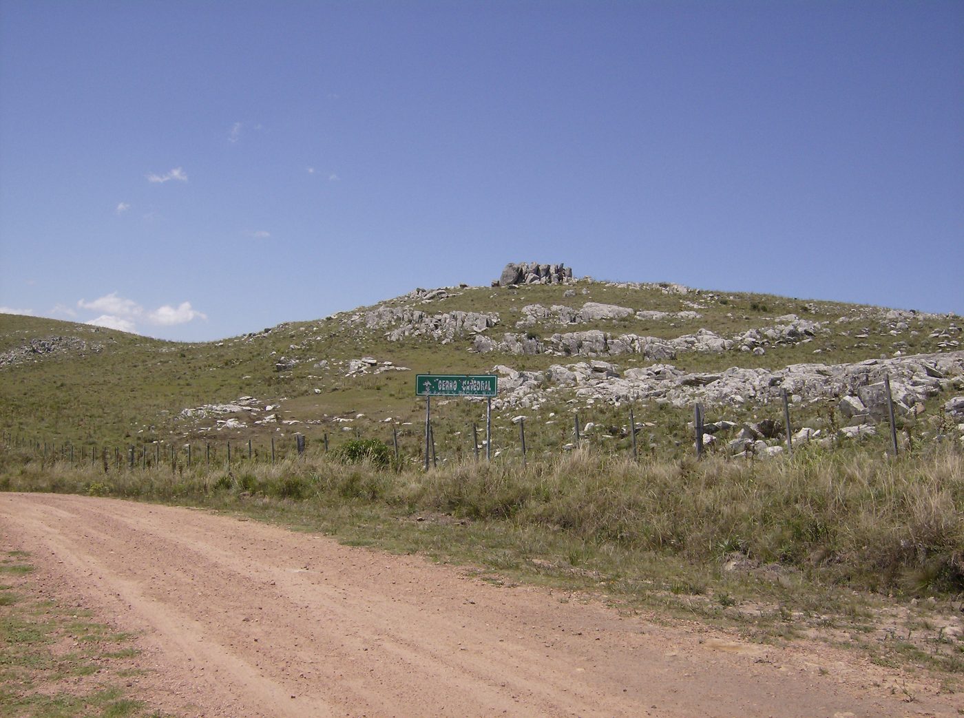
Cerro Catedral
Maldonado
Cerro Catedral ("Cathedral Hill"), also known as Cerro Cordillera, is a peak and the highest point of Uruguay, with an altitude of 513.66 m (1,685.2 ft).
Did you know?
Uruguay's highest point in the gentle Sierra Carapé hills.
 Coasts
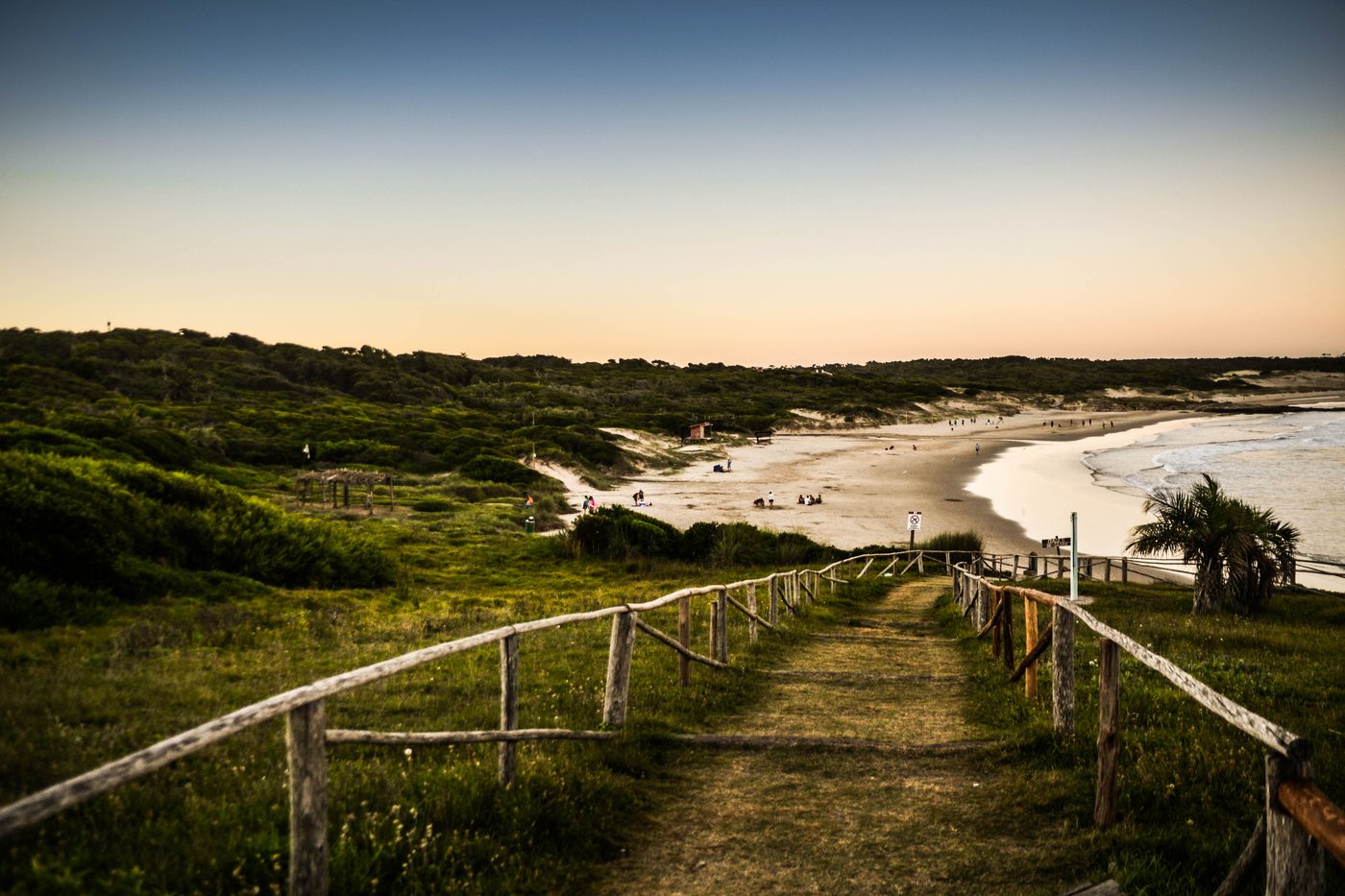
Santa Teresa Coast
Rocha
Santa Teresa National Park is a seaside forested area in Rocha Department which is an important national park of Uruguay. It is operated by the National Army of Uruguay. It is located in the Atlantic coast southeast of Route 9 at the northeast side of Laguna Negra and just north of Punta del Diablo.
Did you know?
Atlantic beaches and dunes backed by planted coastal forest.
 Forests
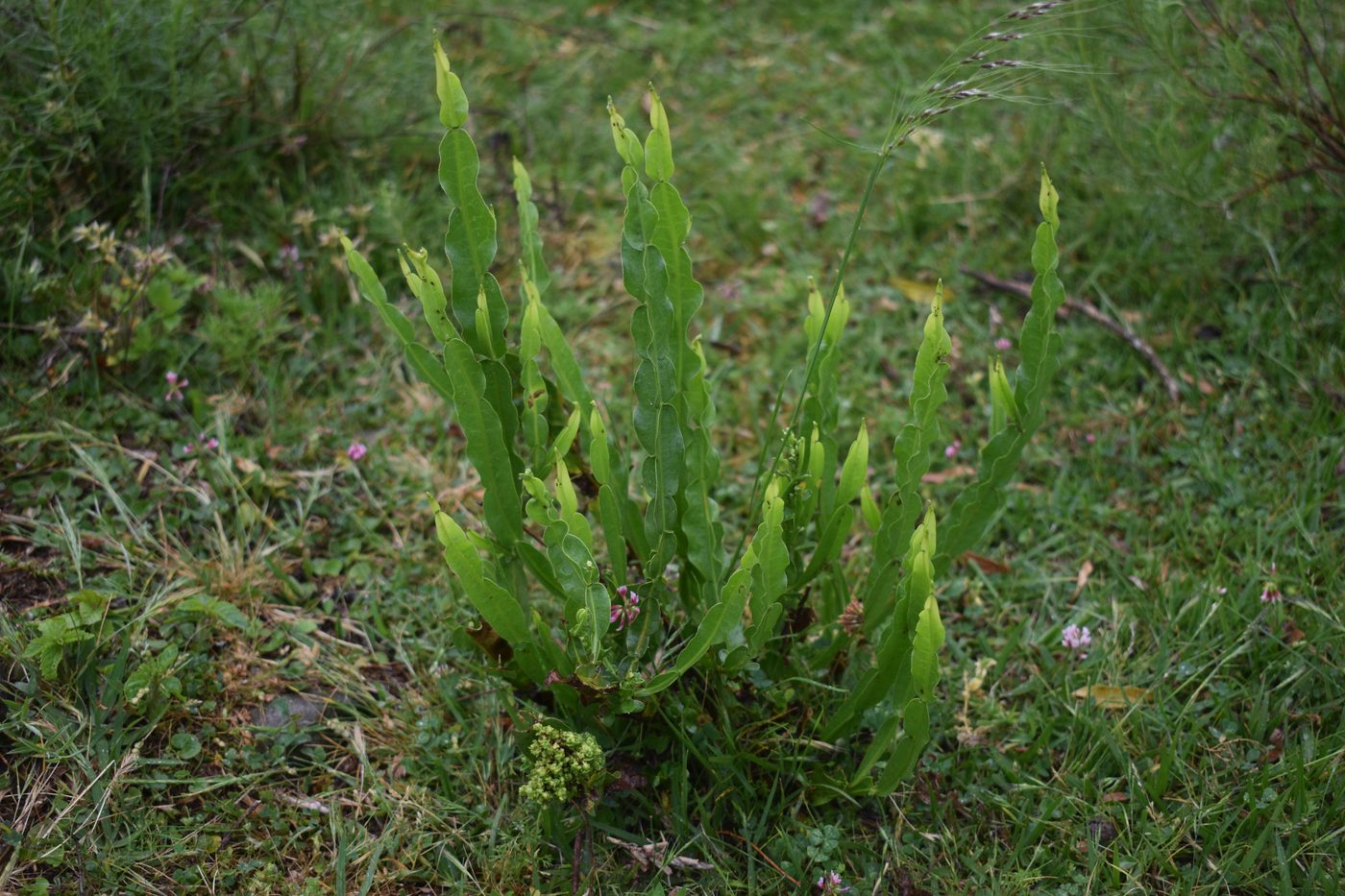
Valle del Lunarejo
Rivera
A misty valley of ravine forests and hidden waterfalls.
Did you know?
A misty valley of ravine forests and hidden waterfalls.
 Wetlands
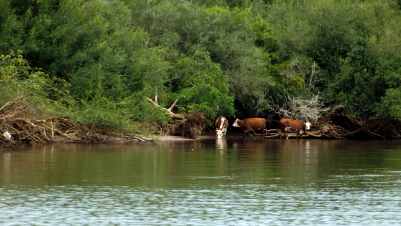
Esteros de Farrapos
Río Negro
River islands and marshes along the Uruguay River rich in birdlife.
Did you know?
River islands and marshes along the Uruguay River rich in birdlife.
 Coasts
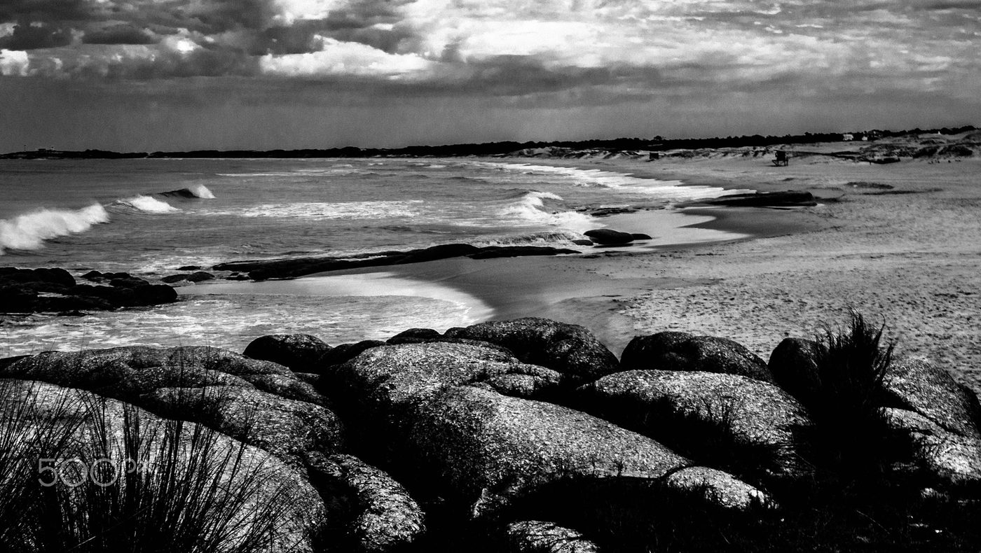
Punta del Diablo
Rocha
Punta del Diablo is a village and seaside locality in Uruguay, Rocha Department, 298 kilometres (185 mi) east from the capital Montevideo.
Did you know?
A rugged fishing coast of wild beaches and rolling dunes.
 Islands
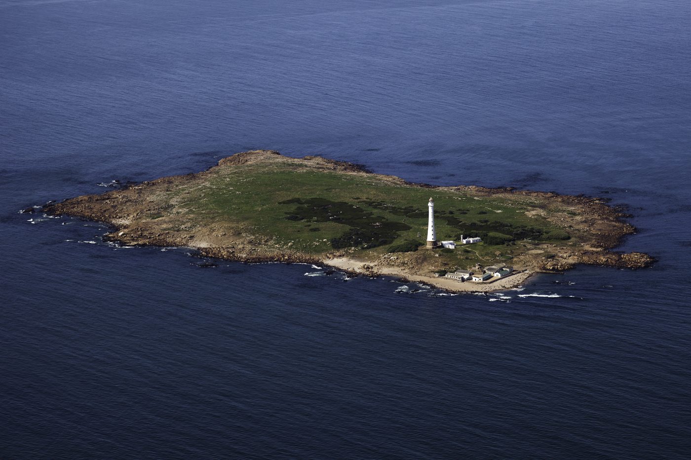
Isla de Lobos
Maldonado
The Isla de Lobos is a small island located about 8 kilometres (5.0 mi) southeast of Punta del Este (Uruguay) in the Atlantic Ocean. An islet lies east of the island. Since 2024 it makes up the Island and Islet of Lobos and their Submerged Environment National Park a marine protected area.
Did you know?
A small island hosting one of the largest sea lion colonies in South America.
 Rivers
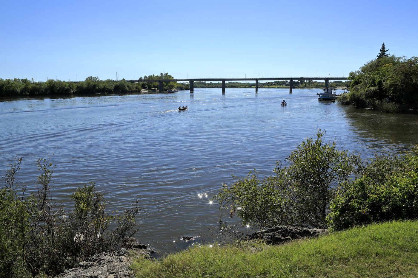
Río Negro
Central Uruguay
The Río Negro (Spanish pronunciation: [ˈri.o ˈneɣɾo], Black River) is a river in southern Brazil and central Uruguay. It rises in the southern highlands of Brazil, just east of Bagé, and flows west across the entire width of Uruguay to the Uruguay River.
Did you know?
Uruguay's great inland river, winding through ranch country.