Eastern Africa
Uganda
The top 10 natural landmarks of Uganda — real photos, locations and fascinating facts for every wonder.
 Africa
 Forests
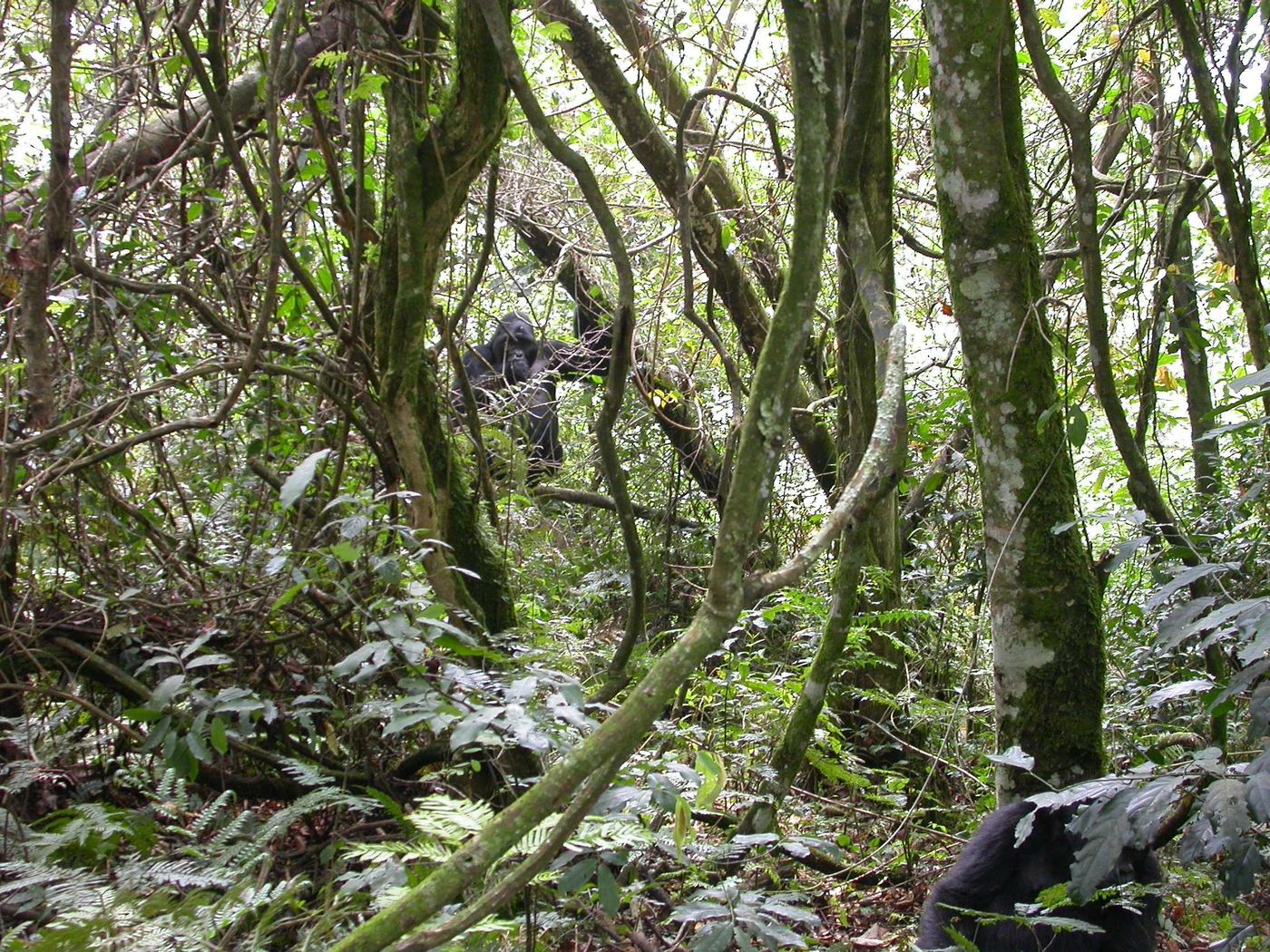
Bwindi Impenetrable Forest
Southwest Uganda
Bwindi Impenetrable National Park is a national park in southwestern Uganda. It is part of the Bwindi Impenetrable Forest and is situated along the Democratic Republic of the Congo border next to the Virunga National Park and on the edge of the Albertine Rift.
Did you know?
Home to nearly half the world's remaining mountain gorillas.
 Mountains
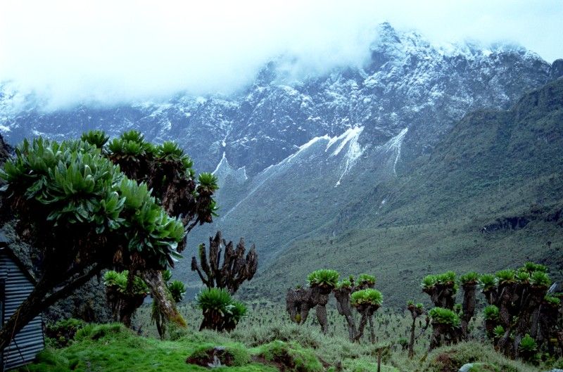
Rwenzori Mountains
Western Uganda
The Rwenzori are a range of mountains in eastern equatorial Africa, located on the border between Uganda and the Democratic Republic of the Congo. The highest peak of the Ruwenzori reaches 5,109 metres (16,762 ft), and the range's upper regions are permanently snow-capped and glaciated.
Did you know?
The fabled Mountains of the Moon, carrying rare equatorial glaciers.
 Waterfalls
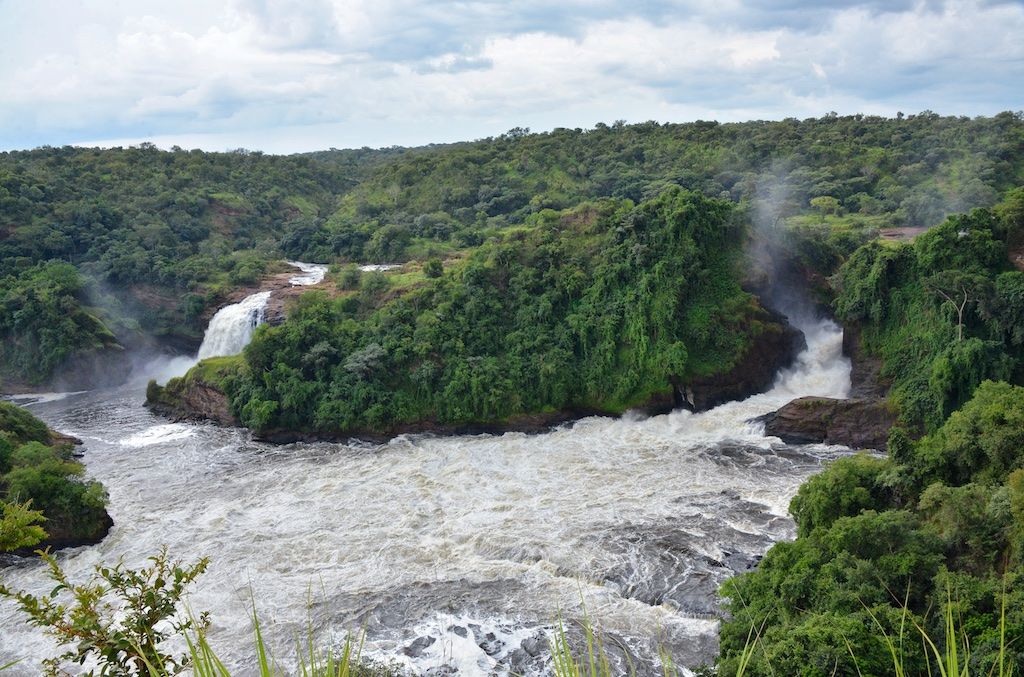
Murchison Falls
Northern Uganda
Murchison Falls, also known as Kabalega Falls, is a waterfall in Uganda, located at the apex of Lake Albert on the White Nile. At the top of Murchison Falls, the Nile forces its way through a gap in the rocks, only 7 m (23 ft) wide, and tumbles 43 m (141 ft), before flowing westward into Lake Albert.
Did you know?
Where the Nile is forced through a 7 m gap, exploding into a powerful cascade.
 Lakes
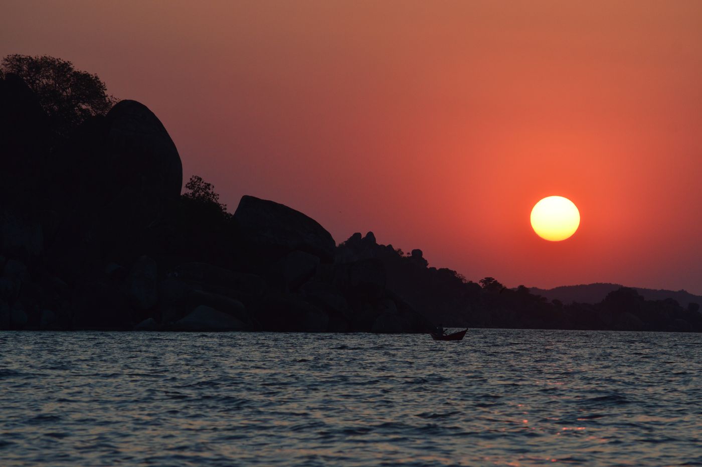
Lake Victoria
Southern Uganda
Lake Victoria is one of the African Great Lakes. With a surface area of approximately 59,947 km2 (23,146 sq mi), Lake Victoria is Africa's largest lake by area, the world's largest tropical lake, and the world's second-largest fresh water lake by surface area after Lake Superior in North America.
Did you know?
Africa's largest lake and a chief source of the White Nile.
 Grasslands
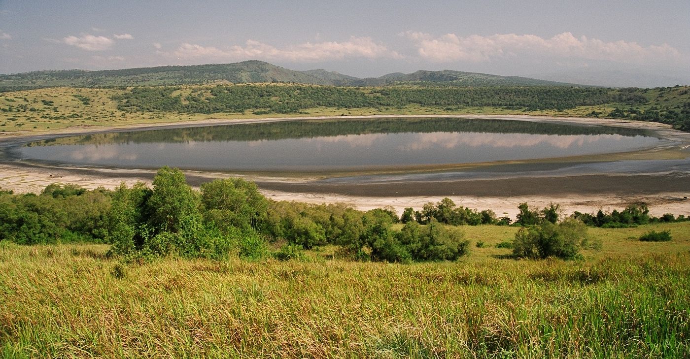
Queen Elizabeth NP
Western Uganda
Queen Elizabeth National Park is a national park in the Western Region of Uganda.
Did you know?
Savanna famed for tree-climbing lions and the wildlife-rich Kazinga Channel.
 Lakes
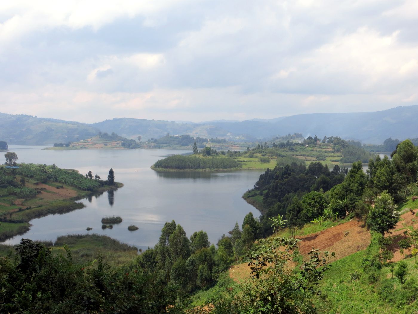
Lake Bunyonyi
Southwest Uganda
Lake Bunyonyi is in south-western Uganda between Kisoro and Kabale, close to the border with Rwanda. The lake appeared from 2004 to 2009 on the USh 5,000/= note under the title "Lake Bunyonyi and terraces".
Did you know?
A deep lake sprinkled with 29 islands among terraced hills.
 Waterfalls
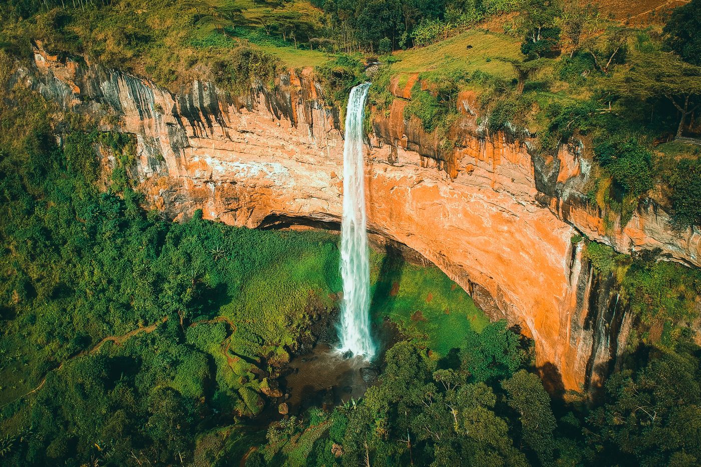
Sipi Falls
Mount Elgon
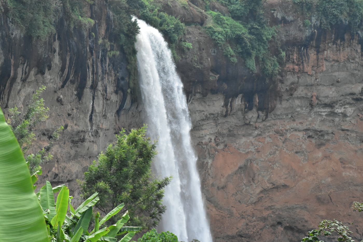
Sipi Falls is a series of three waterfalls located on the north-western slopes of the eponymous extinct volcano, Mount Elgon, in Uganda, with views over the Karamoja plains. The falls are situated to the northeast of Sironko and Mbale, adjacent to Mount Elgon National Park, which is located 1.7 kilometers away from the Kenyan border.
Did you know?
A series of three waterfalls tumbling down the slopes of Mount Elgon.
 Grasslands
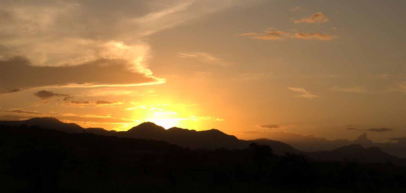
Kidepo Valley
Northeast Uganda
Kidepo Valley National Park is a 1,442 km2 (557 sq mi) large national park in the Karamoja region of northeastern Uganda. It encompasses rugged savannah at the foothills of Mount Morungole and is transected by the Kidepo and Narus rivers.
Did you know?
A remote, dramatic savanna often called Africa's finest wilderness.
 Volcanoes
Mount Elgon
Eastern Uganda
Mount Elgon is an extinct shield volcano on the border of Uganda and Kenya, north of Kisumu, east of Mbale and west of Kitale. The mountain's highest point, named "Wagagai", is located entirely within Uganda.
Did you know?
An ancient extinct volcano with one of the largest calderas on Earth.
 Islands
Ssese Islands
Lake Victoria
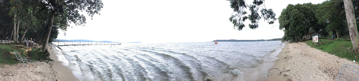
The Ssese Islands are an archipelago of eighty-four islands in the northwestern part of Lake Victoria in Uganda. The islands are coterminous with the Kalangala District in southern Central Uganda, which does not have any territory on mainland Uganda.
Did you know?
An archipelago of 84 forested islands in Lake Victoria.