Eastern Africa
Tanzania
The top 10 natural landmarks of Tanzania — real photos, locations and fascinating facts for every wonder.
 Africa
 Mountains
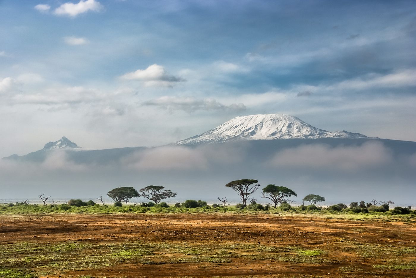
Mount Kilimanjaro
northern Tanzania
Mount Kilimanjaro is a large dormant stratovolcano in Tanzania. It is the highest mountain in Africa and the highest free-standing mountain above sea level in the world, at 5,895 m (19,341 ft) above sea level and 4,900 m (16,100 ft) above its plateau base.
Did you know?
Africa's highest peak at 5,895 m, a snow-capped free-standing volcano.
 Grasslands
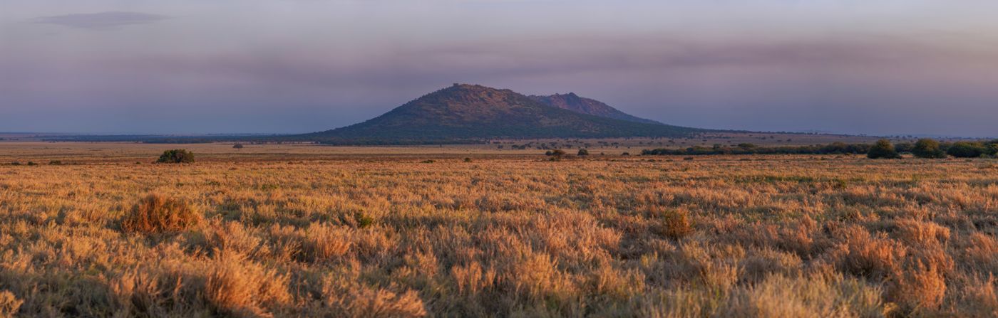
Serengeti
northern Tanzania
The Serengeti is a geographical region in Africa, spanning the Mara and Arusha Regions of Tanzania and extending to southwestern Kenya. The protected area within the region includes approximately 30,000 km2 (12,000 sq mi) of land, including the Serengeti National Park and several game reserves.
Did you know?
Endless plains hosting the greatest wildlife migration on Earth.
 Volcanoes
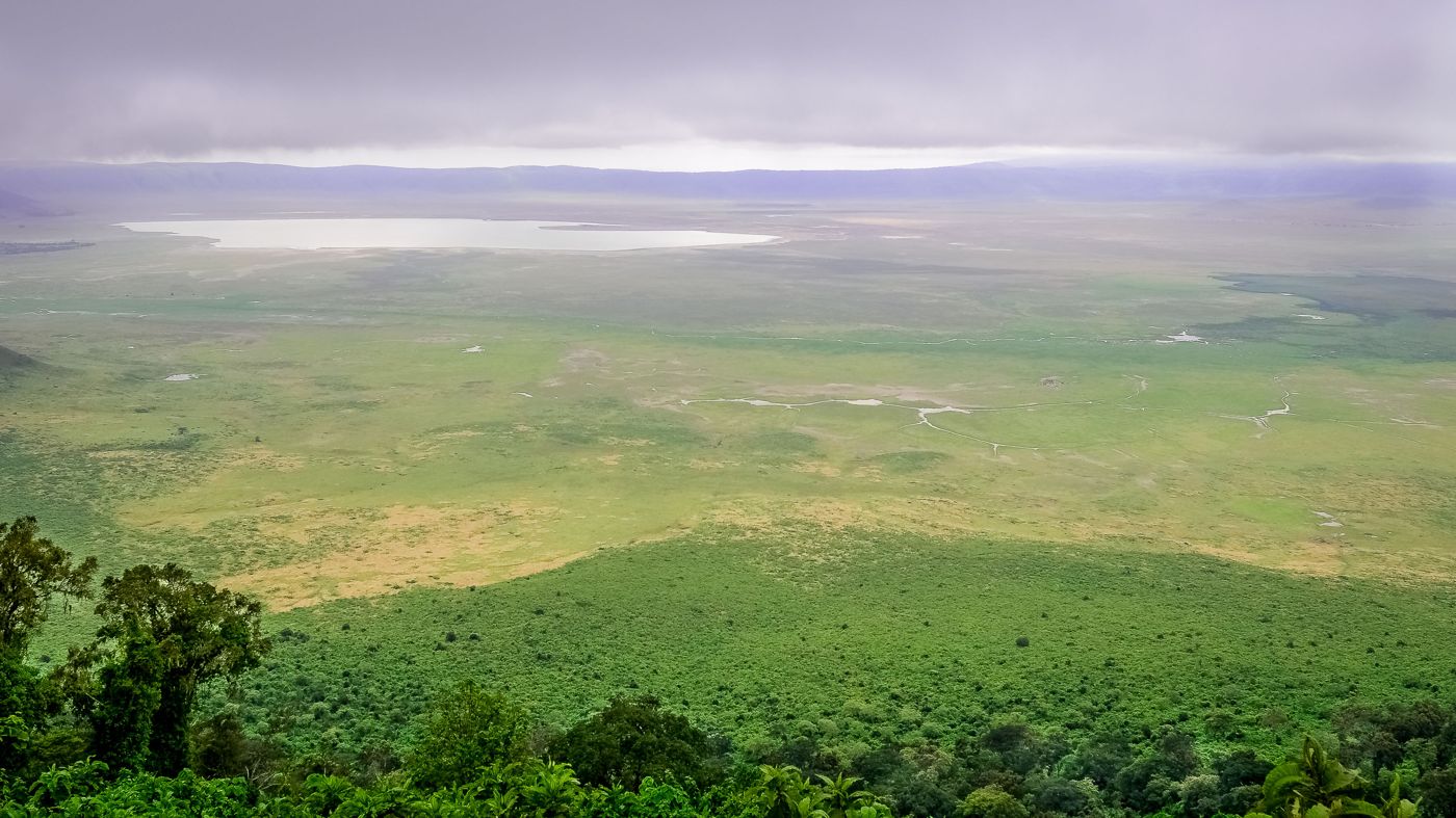
Ngorongoro Crater
northern Tanzania
Ngorongoro Conservation Area is a protected area and a UNESCO World Heritage Site located in Ngorongoro District, 180 km (110 mi) west of Arusha City in Arusha Region, within the Crater Highlands geological area of northeastern Tanzania. The area is named after Ngorongoro Crater, a large volcanic caldera within the area.
Did you know?
A vast intact volcanic caldera brimming with wildlife.
 Islands
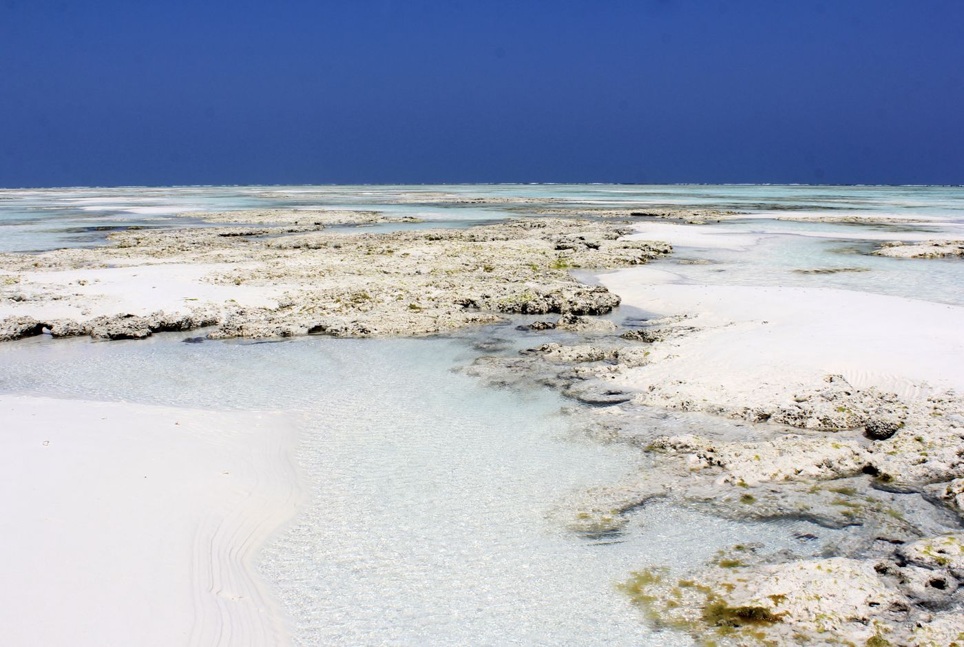
Zanzibar
Indian Ocean
Zanzibar is a Tanzanian semi-autonomous region off the coast of East Africa. It is located in the Indian Ocean, and consists of many small islands and two large ones: Unguja Island and Pemba Island.
Did you know?
A spice island ringed by white beaches and turquoise reefs.
 Lakes
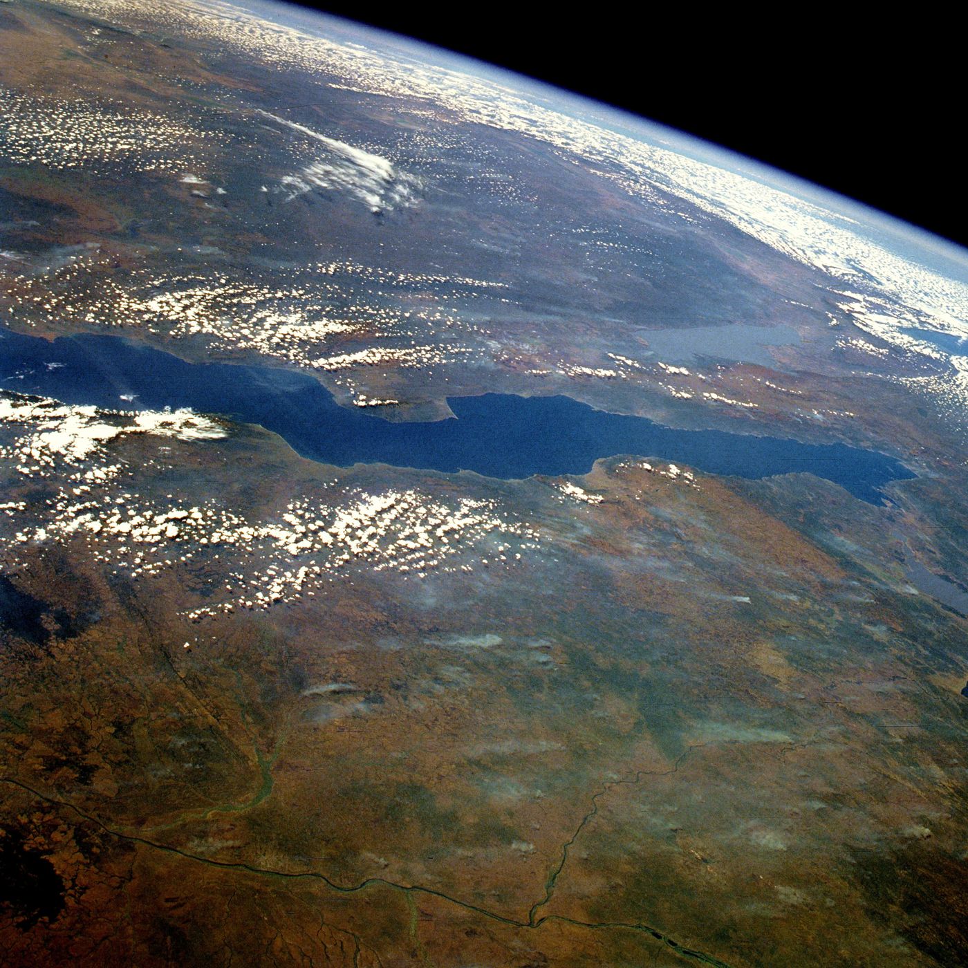
Lake Tanganyika
western Tanzania
Lake Tanganyika is an African Great Lake. It is the world's second-largest freshwater lake by volume and the second deepest, in both cases after Lake Baikal in Siberia.
Did you know?
The world's longest freshwater lake and second deepest.
 Grasslands
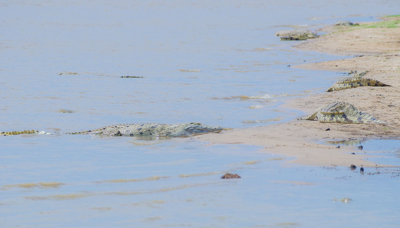
Selous
southern Tanzania
The Selous Game Reserve, now renamed as Nyerere National Park (in-part), is a protected nature reserve and wilderness area in southern Tanzania, East Africa. It covers a total area of 50,000 km2 (19,000 sq mi), with additional buffer zones, as well.
Did you know?
One of Africa's largest protected wildernesses, crossed by the Rufiji.
 Volcanoes
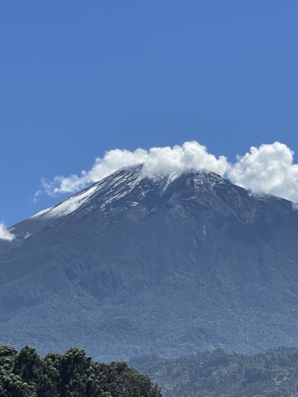
Mount Meru
Arusha
Mount Meru is a dormant stratovolcano located 70 kilometres (43 mi) west of Kilimanjaro in southeast Arusha Region, Tanzania. At a height of 4,562.13 metres (14,968 ft), it is visible from Mount Kilimanjaro on a clear day, and is the eighth-highest mountain of Africa.
Did you know?
A dramatic volcanic cone and Tanzania's second-highest mountain.
 Lakes
Lake Natron
northern Tanzania
Lake Natron is a highly alkaline salt lake located in north Ngorongoro District of Arusha Region in Tanzania with its far northern end crossing into Kajiado County and Narok County in Kenya. It is in the Gregory Rift, which is the eastern branch of the East African Rift.
Did you know?
A caustic crimson soda lake and breeding ground for flamingos.
 Forests
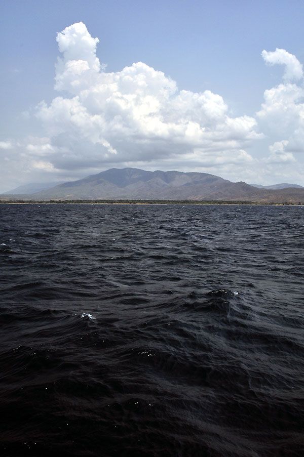
Mahale Mountains
Lake Tanganyika
Mahale Mountains National Park is a national park of Tanzania. The park is located on the eastern shore of Lake Tanganyika in Uvinza District of Kigoma Region.
Did you know?
Forested peaks dropping to a lakeshore home to wild chimpanzees.
 Forests
Udzungwa
south-central Tanzania
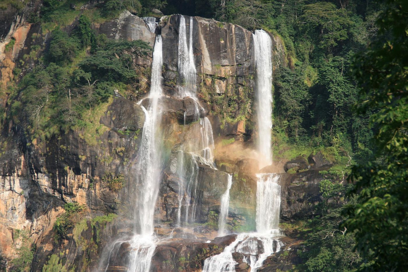
The Udzungwa Mountains National Park is a national park in Tanzania's Kilolo District of Iringa Region and Kilombero District of Morogoro Region. It has a size of 1,990 km2 (770 sq mi).
Did you know?
Ancient rainforest mountains rich in endemic species and waterfalls.