Eastern Asia
Taiwan
The top 10 natural landmarks of Taiwan — real photos, locations and fascinating facts for every wonder.
 Asia
 Canyons
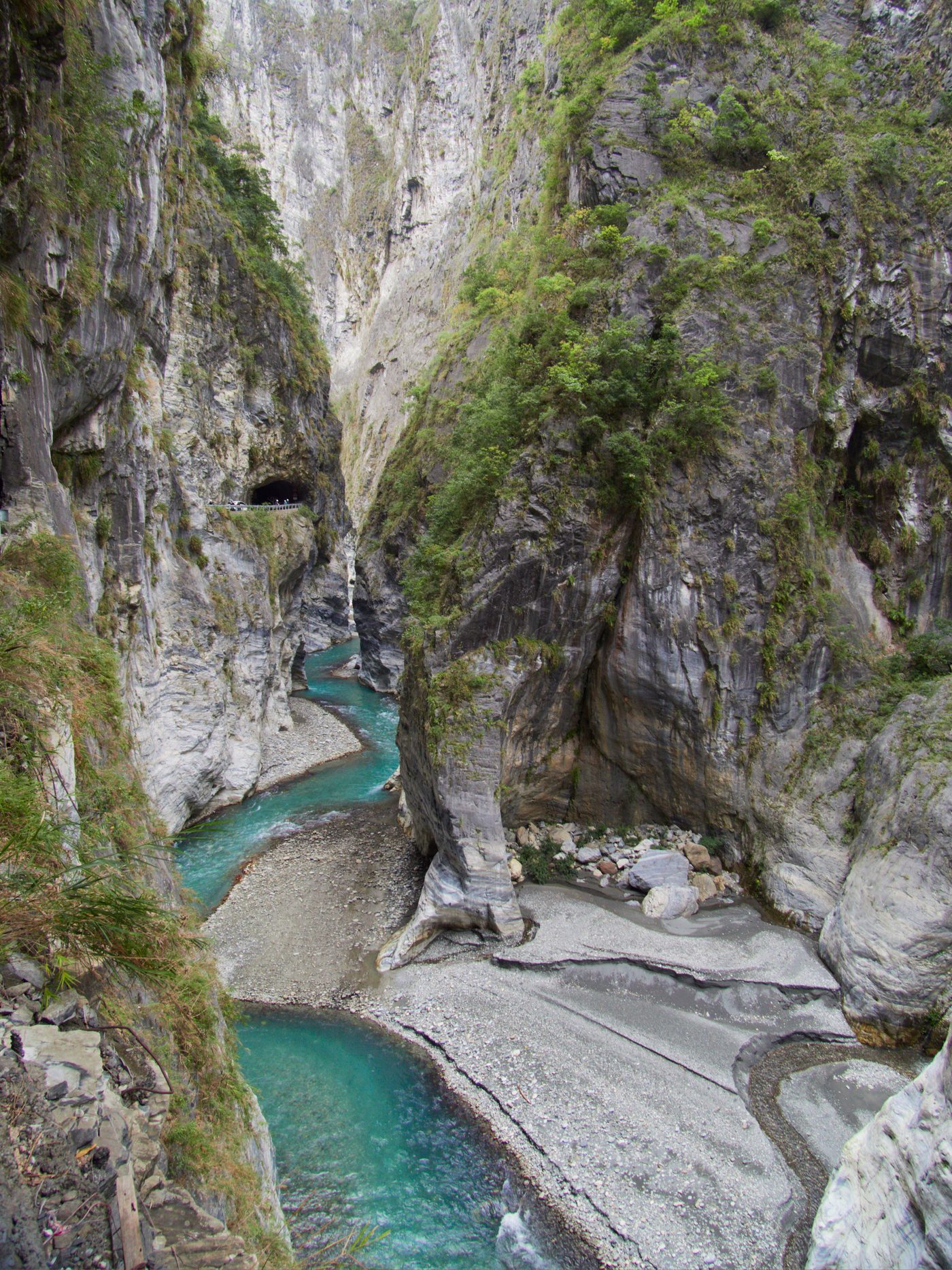
Taroko Gorge
Hualien
Taroko National Park (Chinese: 太魯閣國家公園; pinyin: Tàilǔgé Gúojiā Gōngyuán; Pe̍h-ōe-jī: Thài-ló͘-koh Kok-ka Kong-hn̂g) is one of the nine national parks in Taiwan and was named after the Taroko Gorge, the landmark gorge of the park carved by the Liwu River.
Did you know?
A marble-walled gorge carved by the Liwu River into sheer cliffs.
 Mountains
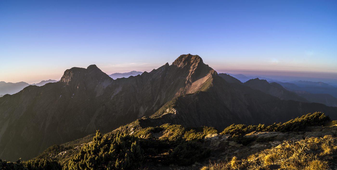
Yushan
Central Taiwan
Yu Shan or Yushan, Tongku Saveq, Mount Niitaka (during Japanese rule), is the highest mountain in Taiwan at 3,952 m (12,966 ft) above sea level, giving Taiwan the 4th-highest maximum elevation of any island in the world. It is the highest point in the western Pacific region outside of the Kamchatka Peninsula.
Did you know?
Jade Mountain, the highest peak in Taiwan at 3,952 m.
 Lakes
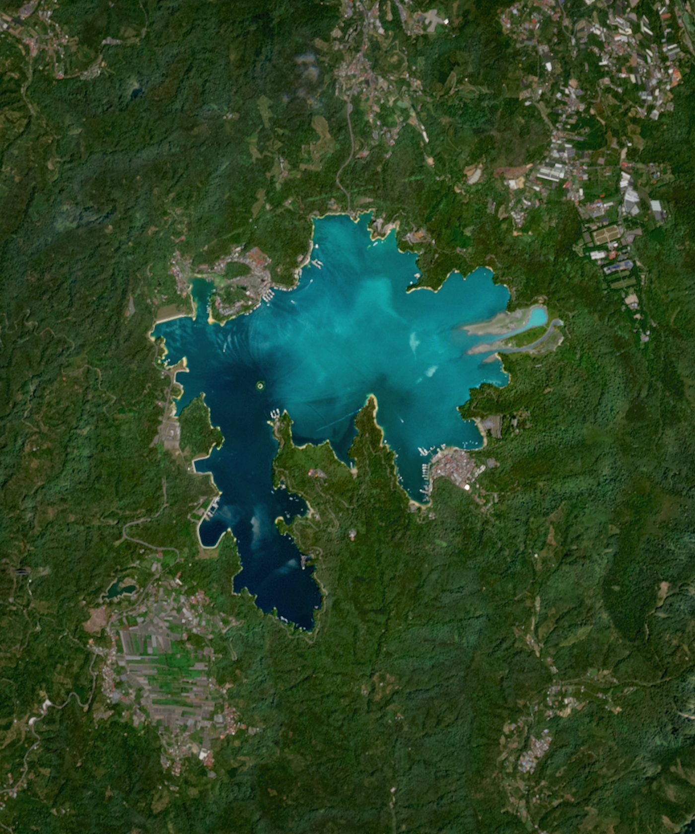
Sun Moon Lake
Nantou
Sun Moon Lake (Chinese: 日月潭; pinyin: Rìyuè tán; Pe̍h-ōe-jī: Ji̍t-goa̍t-thâm; Thao: Zintun) is a lake in Yuchi Township, Nantou County, Taiwan. It is the largest body of water in Taiwan. The area around the lake is home to the Thao people, one of Taiwan's indigenous ethnic groups.
Did you know?
Taiwan's largest natural lake, ringed by misty forested mountains.
 Coasts
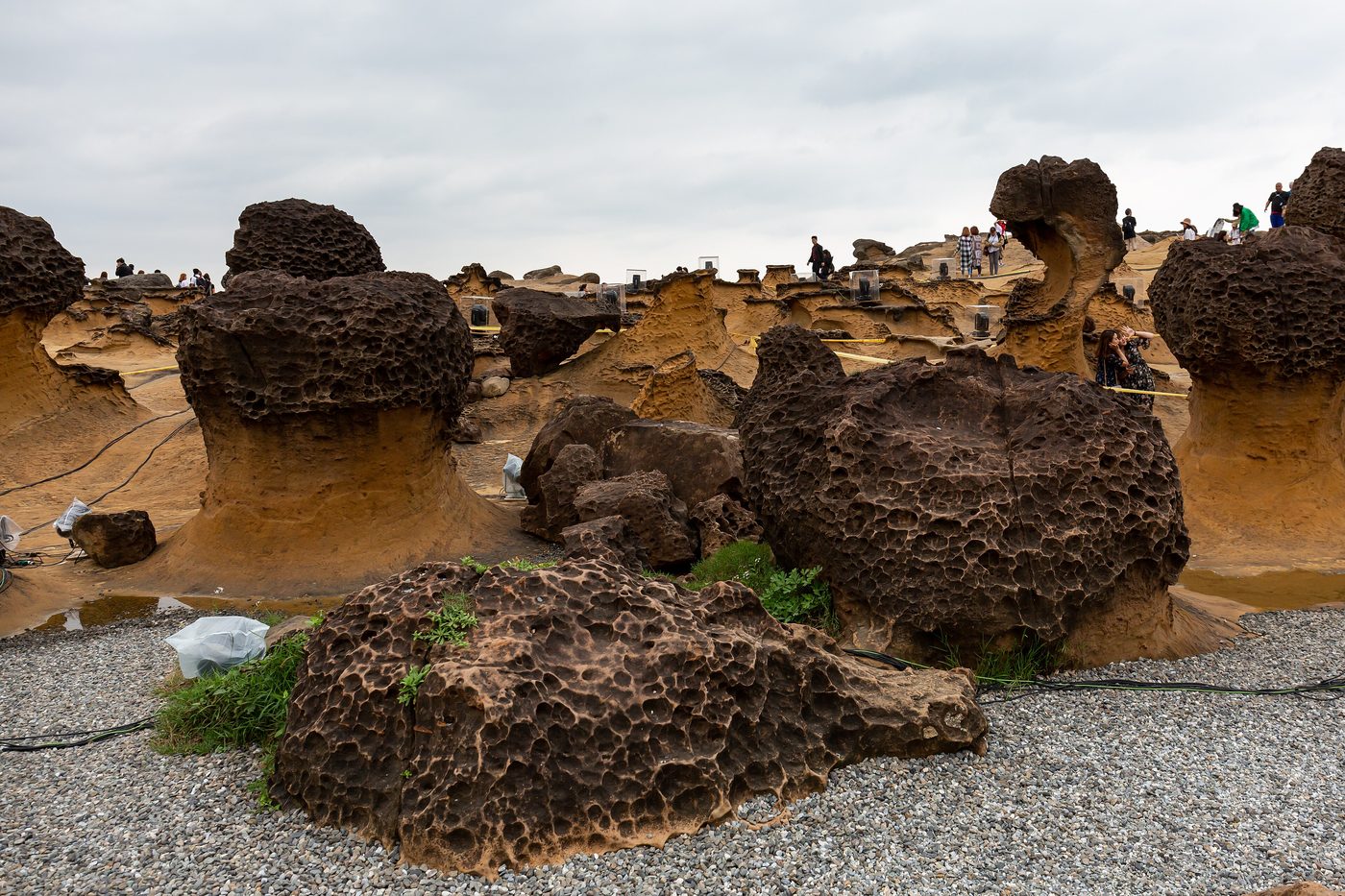
Yehliu
New Taipei
Yehliu (Chinese: 野柳; pinyin: Yěliǔ), also referred to as Yehliu Promontory, is a cape, headland, and promontory in Wanli District, New Taipei, Taiwan. It forms part of the Daliao Miocene Formation and stretches approximately 1,700 metres (5,600 ft) into the ocean.
Did you know?
A cape of wind-sculpted rock formations like the famous Queen's Head.
 Forests
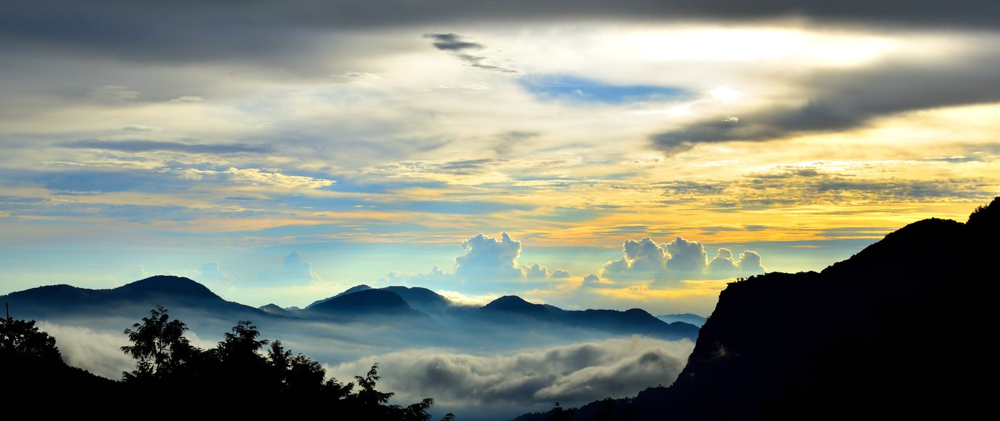
Alishan
Chiayi
The Alishan National Scenic Area is a mountain resort and nature reserve located in Alishan township, Chiayi County, Taiwan.
Did you know?
Ancient cypress forests famous for sunrise above a sea of clouds.
 Coral Reefs
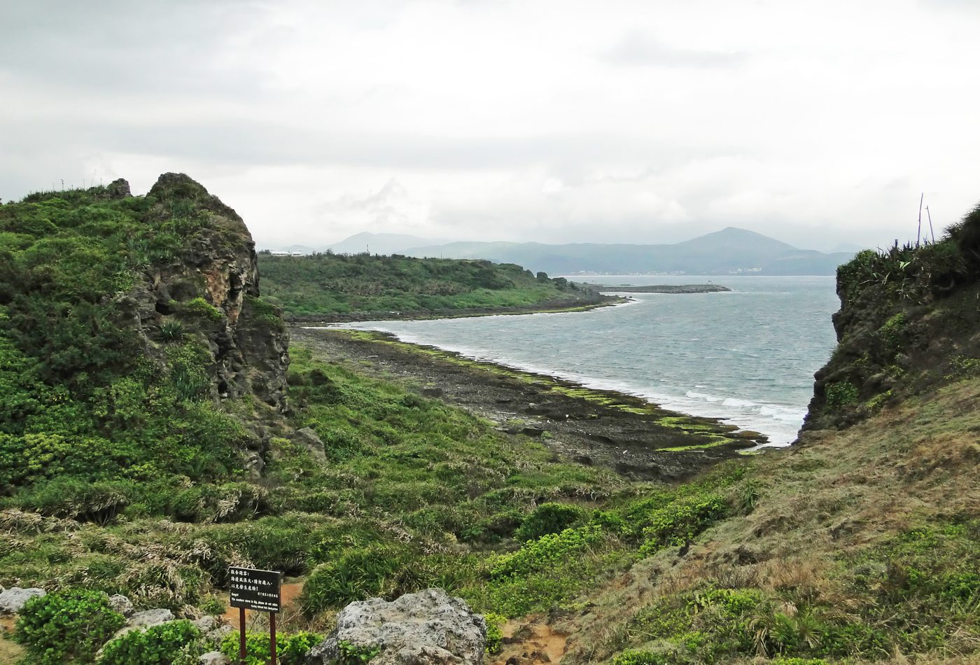
Kenting
Pingtung
Kenting National Park (Chinese: 墾丁國家公園; pinyin: Kěndīng Gúojiā Gōngyuán), commonly known as Kenting (Chinese: 墾丁; pinyin: Kěndīng), is a national park located on the Hengchun Peninsula of Pingtung County, Taiwan, covering Hengchun, Checheng, and Manzhou Townships.
Did you know?
Taiwan's tropical southern tip with coral coasts and turquoise bays.
 Coasts
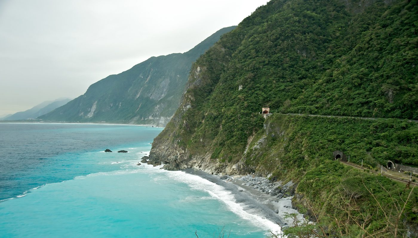
Qingshui Cliff
Hualien
Qingshui Cliff (Chinese: 清水斷崖; Hanyu Pinyin: Qīngshuǐ Duànyá; Tongyong Pinyin: Cingshuěi Duànyá; Wade–Giles: Ch'ing1-shui3 Tuan4ya2) is a 21 kilometer length of coastal cliffs averaging 800 meters above sea level in Xiulin Township, Hualien County, Taiwan.
Did you know?
Sheer cliffs plunging over 800 m straight into the Pacific.
 Geothermal
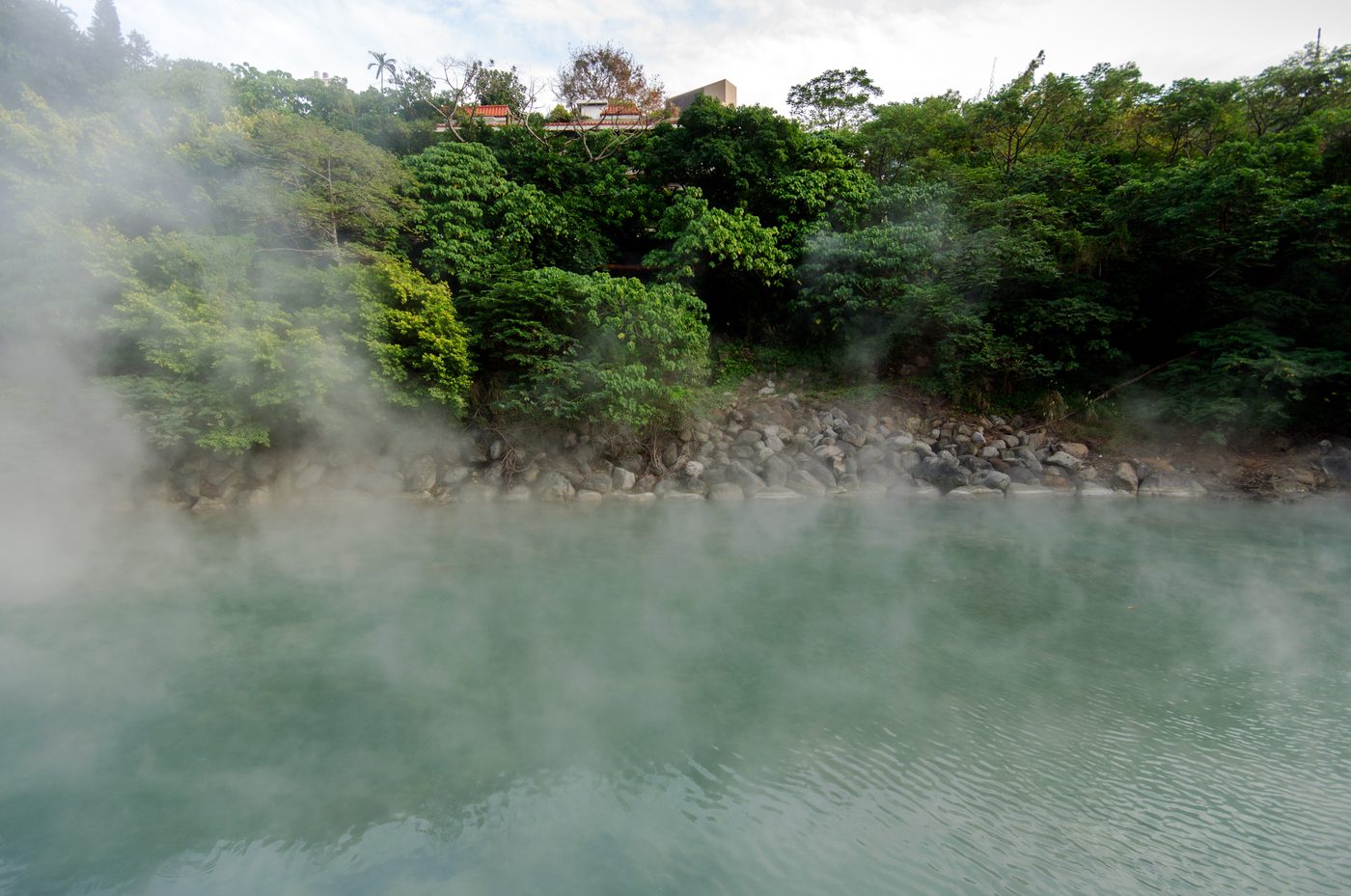
Beitou Geothermal Valley
Taipei
Beitou District is the northernmost of the twelve districts of Taipei City, Taiwan. The historical spelling of the district is Peitou. The name originates from the Ketagalan word Kipatauw, meaning witch.
Did you know?
A steaming sulphur valley feeding Taipei's famous hot springs.
 Islands
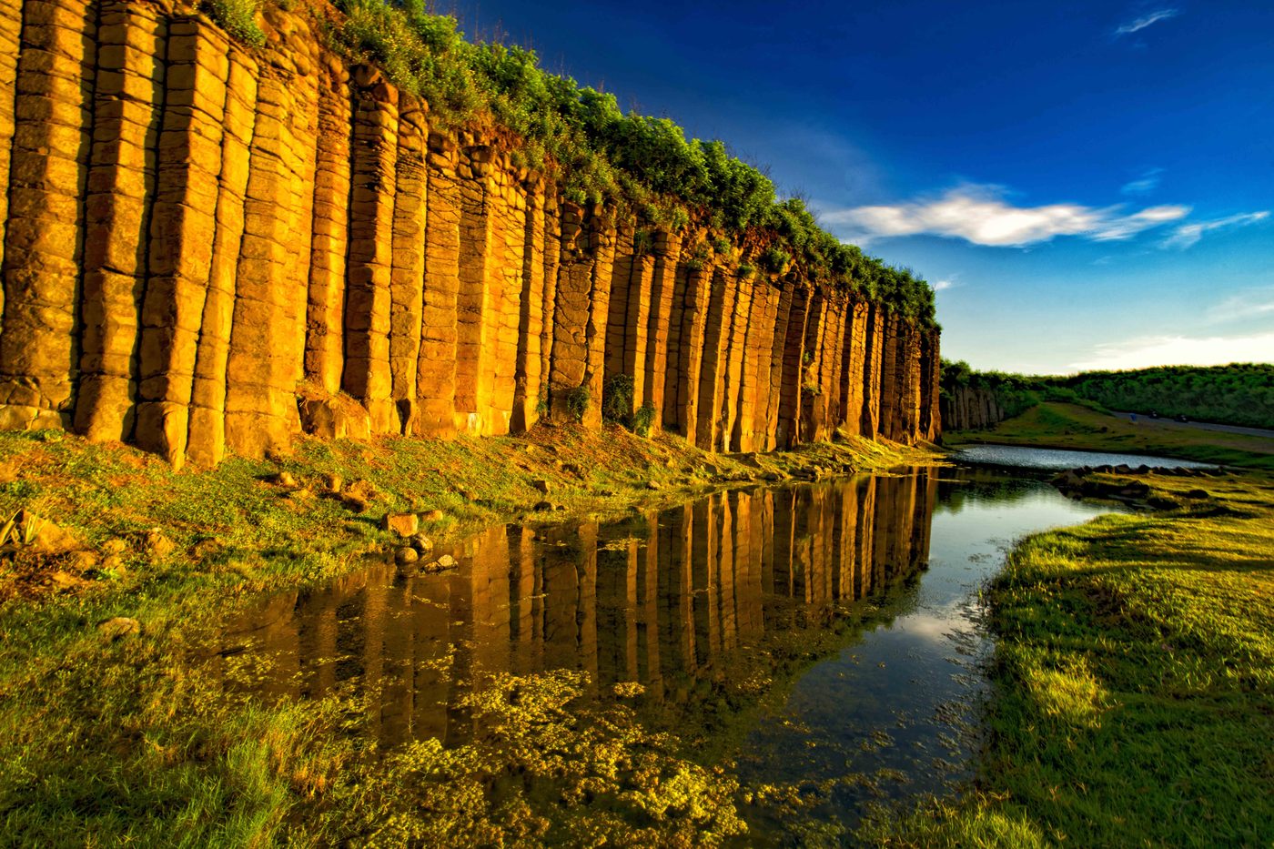
Penghu Columnar Basalt
Taiwan Strait
The Penghu ( PUNG-HOO, Hokkien POJ: Phîⁿ-ô͘ or Phêⁿ-ô͘ ) or Pescadores Islands are an archipelago of 90 islands and islets in the Taiwan Strait, about 50 kilometres (25 nautical miles) west of the main island of Taiwan across the Penghu Channel, covering an area of 141 km2 (54 sq mi).
Did you know?
Island reserves of hexagonal basalt columns rising from the sea.
 Mountains
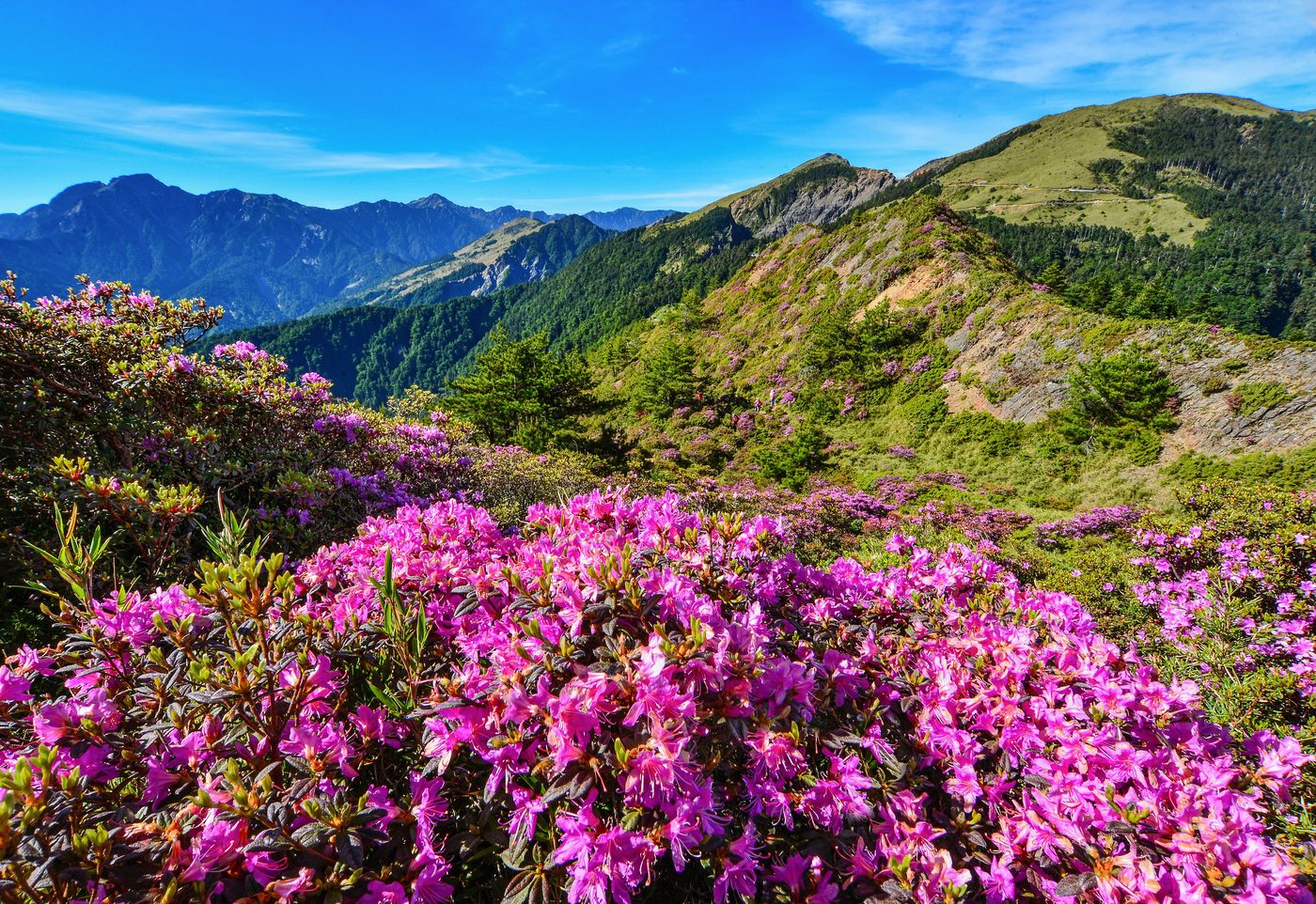
Hehuanshan
Nantou
Mount Hehuan (Chinese: 合歡山; pinyin: Héhuān Shān; Pe̍h-ōe-jī: Ha̍p-hoan-soaⁿ; also called Joy Mountain) is a 3,416-metre-high (11,207 ft) mountain in Central Taiwan. The peak lies on the border of Nantou and Hualien counties and is located within the far west of Taroko National Park.
Did you know?
A high alpine ridge that sees rare snowfalls each winter.