Northern Africa
Tunisia
The top 5 natural landmarks of Tunisia — real photos, locations and fascinating facts for every wonder.
 Africa
 Deserts
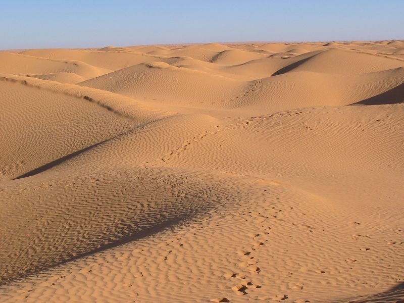
Grand Erg Oriental
Southern Tunisia
The Grand Erg Oriental is a large erg or "field of sand dunes" in the Sahara Desert. Situated for the most part in Saharan lowlands of northeast Algeria, the Grand Erg Oriental covers an area of some 185,000 sq.
Did you know?
A great Saharan sand sea of rolling golden dunes.
 Lakes
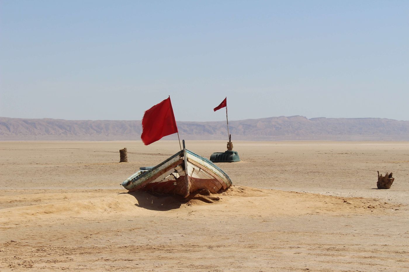
Chott el Djerid
Tozeur
Chott el Djerid also spelled Sciott Gerid and Shott el Jerid, is a chott, a large endorheic salt lake in central Tunisia. The name can be translated from the Arabic into English as "Lagoon of the Land of Palms".
Did you know?
A vast salt lake that shimmers with mirages in the Sahara.
 Wetlands
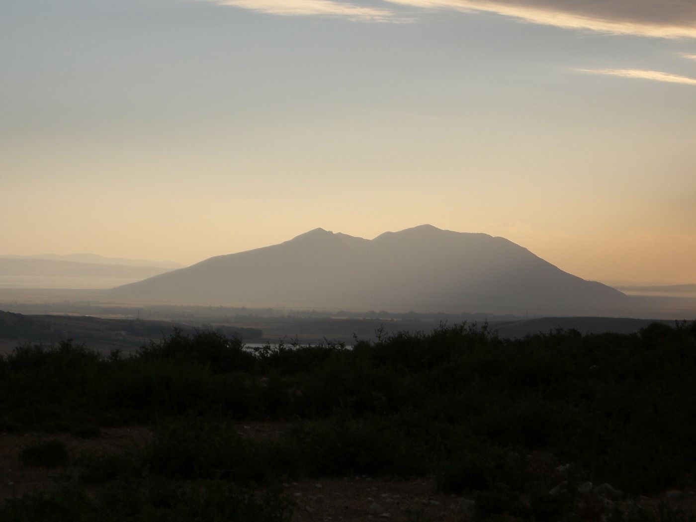
Ichkeul
Bizerte
Lake Ichkeul is a lake in northern Tunisia, located 20 kilometres to Bizerte, the northernmost city in Africa on the Mediterranean Sea. The lake and wetlands of Ichkeul National Park are an important stopping-over point for hundreds of thousands of migrating birds each year.
Did you know?
A lake and wetland that is a vital stopover for migratory birds.
 Mountains
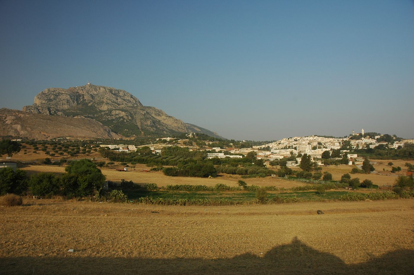
Jebel Zaghouan
Zaghouan
Djebel Zaghouan is a mountain and the highest point in Eastern Tunisia at 1,295 m. The mountain is located in an area of a National Park.
Did you know?
A rugged limestone peak rising above the northern plains.
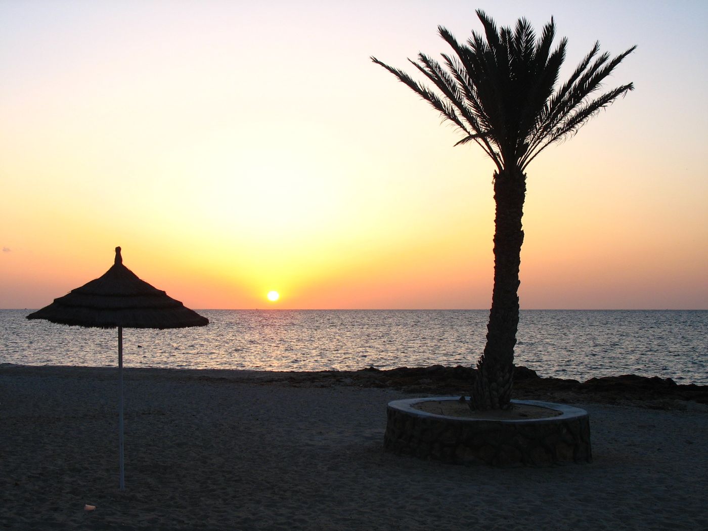 Islands
Djerba
Medenine
Djerba, also transliterated as Jerba or Jarbah, is a Tunisian island and the largest island of North Africa at 514 square kilometers (198 sq mi), in the Gulf of Gabès, off the coast of Tunisia. Administratively, it is part of the Medenine Governorate.
Did you know?
A sun-baked Mediterranean island of palm groves and sandy shores.