Western Africa
Togo
The top 5 natural landmarks of Togo — real photos, locations and fascinating facts for every wonder.
 Africa
 Mountains
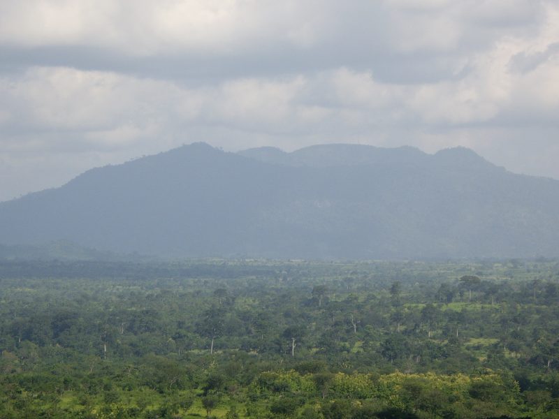
Mount Agou
Plateaux
Mount Agou (French: Mont Agou, earlier known as Baumannspitze or Baumann Peak) is the highest mountain in Togo at 986 metres (3,235 ft). It is situated to the south east of Kpalimé in the Plateaux Region of Togo. The mountain lies close to the border with Ghana; this country can be seen from the summit.
Did you know?
Togo's highest peak, rising green above surrounding plantations.
 Waterfalls
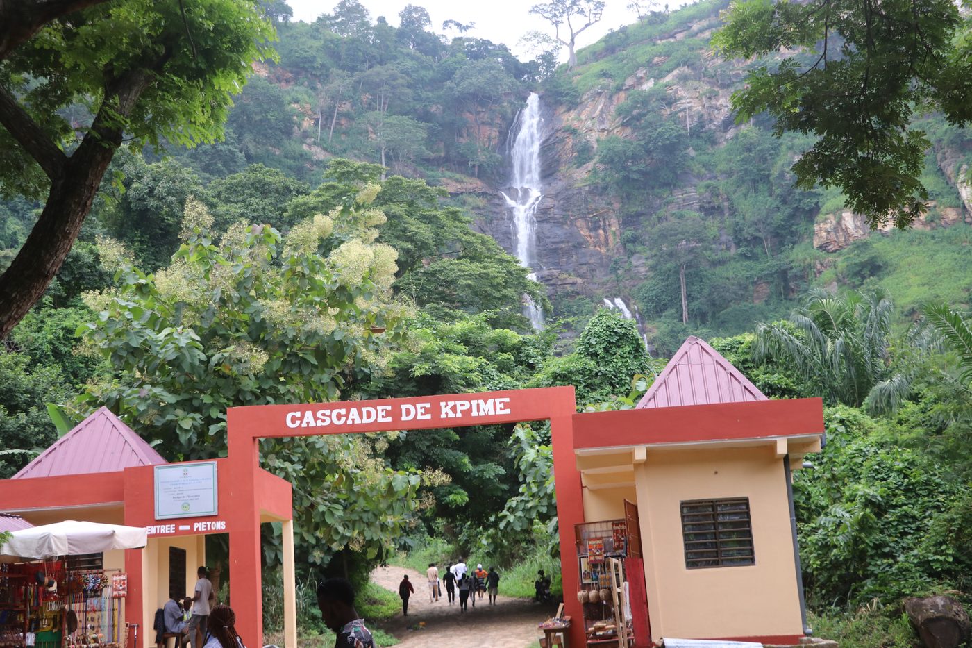
Kpime Falls
Plateaux
A tall waterfall spilling down forested slopes near Kpalime in Togo's lush Plateaux region, fed by streams draining the surrounding highlands.
Did you know?
A high waterfall tumbling down forested hills near Kpalimé.
 Forests
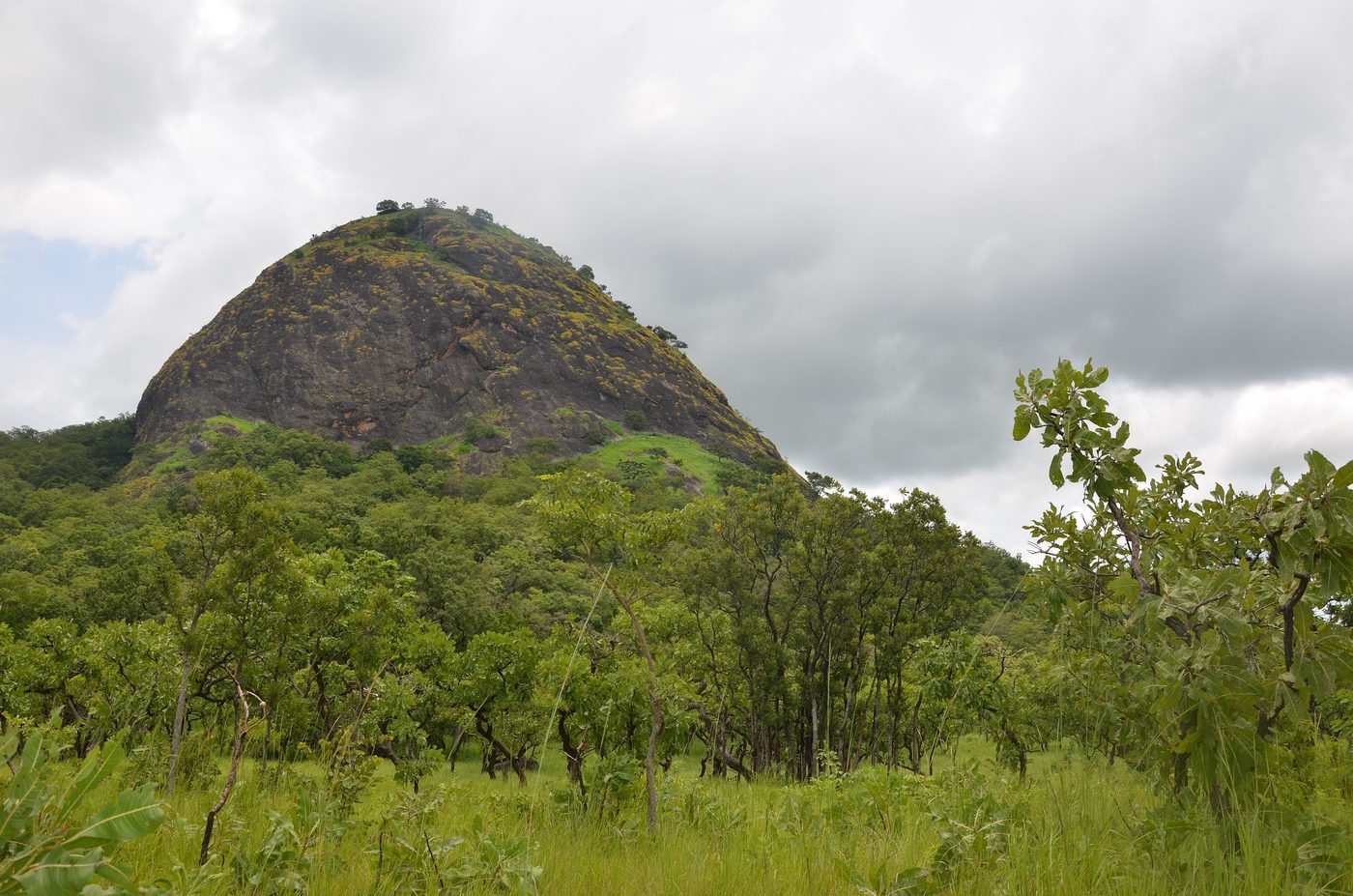
Fazao-Malfakassa
Centrale
Fazao Malfakassa National Park or Parc national de Fazao Malfakassa is the largest of three national parks in Togo, the others being Kéran and Fosse aux Lions. It is situated between the Kara Region and Centrale Region in semi-mountainous wetland, and forms part of the border with Ghana.
Did you know?
Togo's largest park, a mix of forest, savanna and sandstone cliffs.
 Lakes
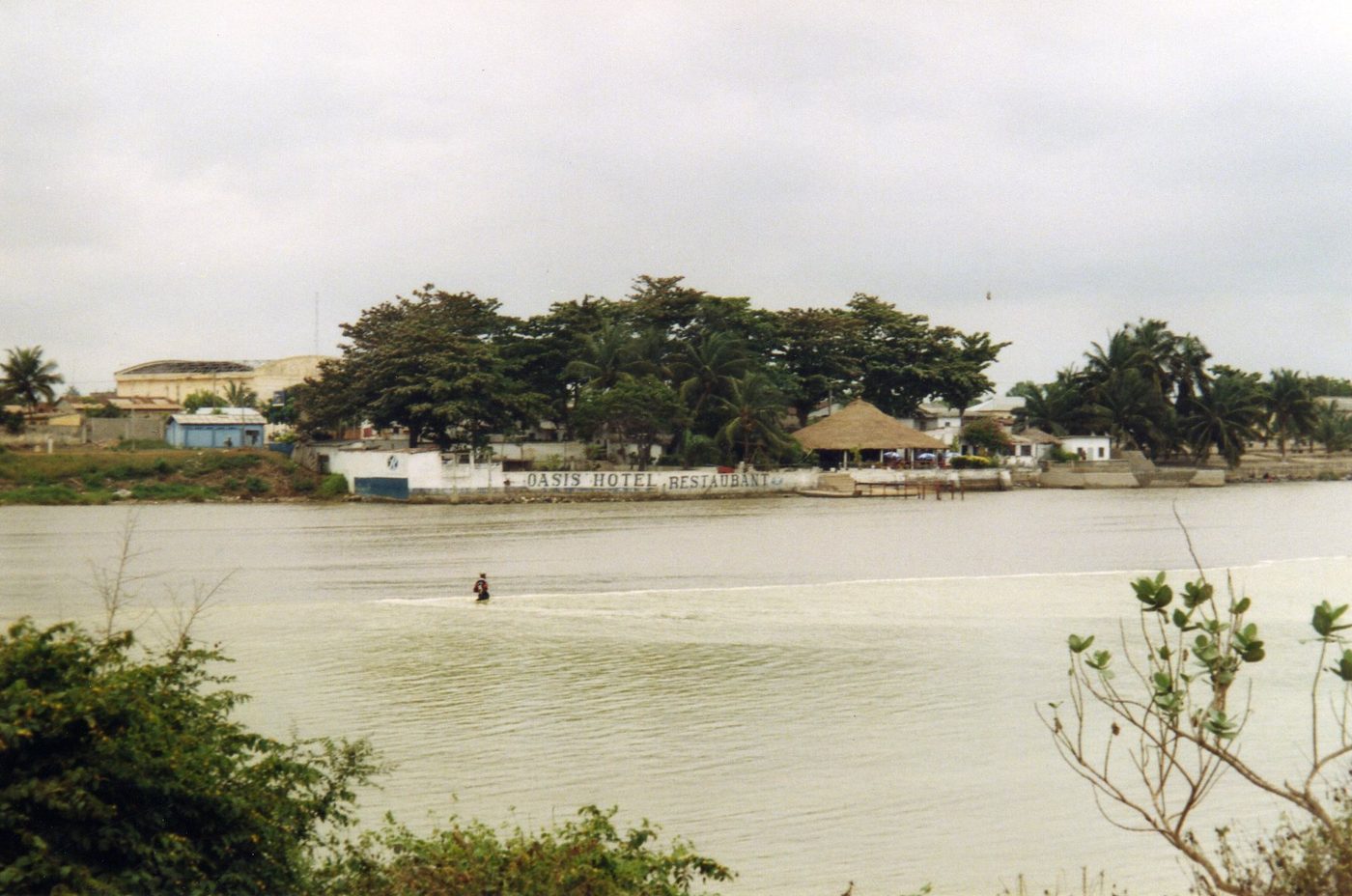
Lake Togo
Maritime
Lake Togo (French: Lac Togo) is the largest part of a lagoon in Togo, separated from the Atlantic Ocean by a narrow coastal strip. It is shallow and a popular location for water sports. Towns on the lake's shore include Agbodrafo and Togoville.
Did you know?
A calm coastal lagoon popular for sailing and birdlife.
 Rivers
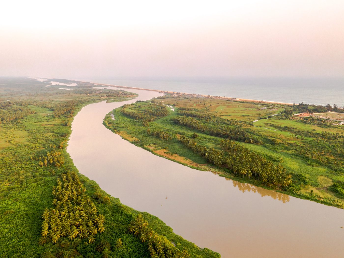
Mono River
Eastern Togo
The Mono River is the major river of eastern Togo. Approximately 400 km (250 mi) long, and draining a basin of about 20,000 km2 (7,700 sq mi), it rises between the town of Sokodé and the border with Benin, and flows south.
Did you know?
A river forming much of the border, lined with mangroves near the sea.