Eastern Europe
Russia
The top 10 natural landmarks of Russia — real photos, locations and fascinating facts for every wonder.
 Europe
 Lakes
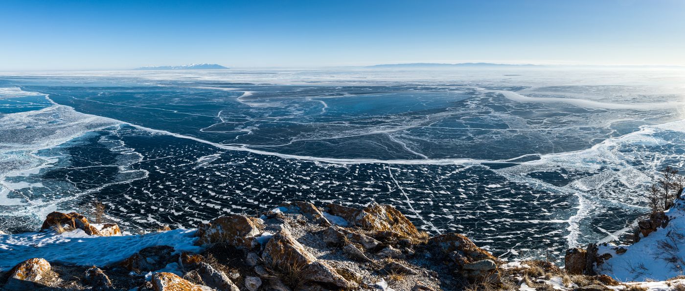
Lake Baikal
Siberia
Lake Baikal is a rift lake and the deepest lake in the world. It is situated in southern Siberia, Russia, between the federal subjects of Irkutsk Oblast to the northwest and the Republic of Buryatia to the southeast.
Did you know?
The world's deepest and oldest freshwater lake, holding about a fifth of all unfrozen fresh water on Earth.
 Geothermal
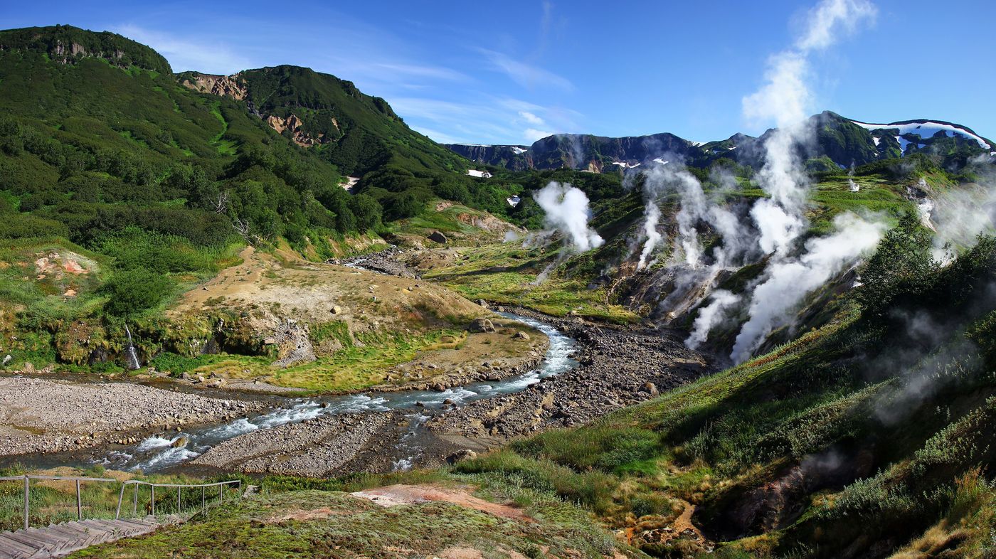
Valley of Geysers
Kamchatka
The Valley of Geysers is a geyser field on Kamchatka Peninsula, Russia, and has the second-largest concentration of geysers in the world. This six-kilometre-long (3.7 mi) basin with approximately ninety geysers and many hot springs is situated on the Kamchatka Peninsula in the Russian Far East, predominantly on the left bank of the ever-deepening Geysernaya River, into which geothermal waters flow from a relatively young stratovolcano, Kikhpinych.
Did you know?
The second-largest concentration of geysers on the planet, hidden in a remote volcanic valley.
 Mountains
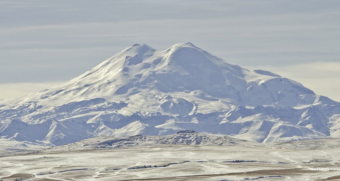
Mount Elbrus
Caucasus
Mount Elbrus is the highest mountain in Russia and Europe. It is a dormant stratovolcano rising 5,642 m (18,510 ft) above sea level, and is the highest volcano in Eurasia, as well as the tenth-most prominent peak in the world.
Did you know?
A twin-coned dormant volcano and the highest peak in Europe at 5,642 m.
 Volcanoes
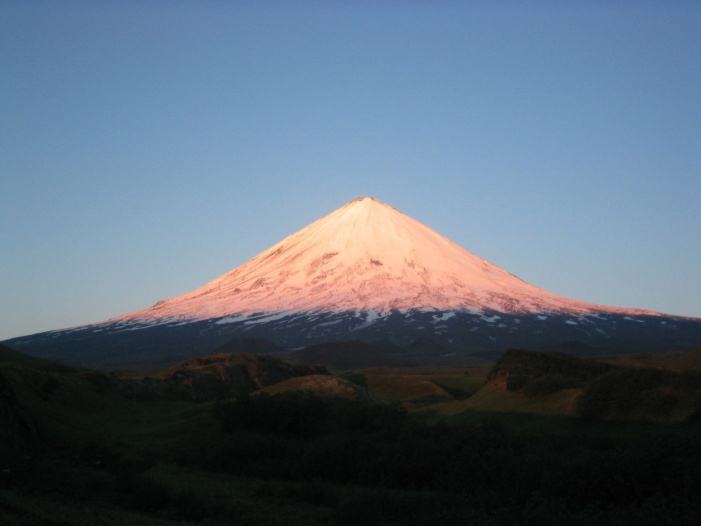
Klyuchevskaya Sopka
Kamchatka
Klyuchevskaya Sopka is an active stratovolcano, the highest mountain of Siberia and the highest active volcano of Eurasia. Its steep, symmetrical cone rises roughly 100 kilometres (60 mi) inland from the Bering Sea.
Did you know?
The highest active volcano in Eurasia, rising over 4,750 m.
 Rocks
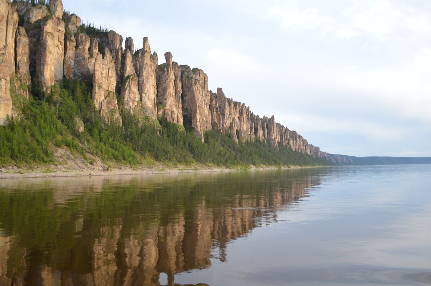
Lena Pillars
Sakha Republic
The Lena Pillars are a natural rock formation along the banks of the Lena River in far eastern Siberia. The pillars are 150–300 metres (490–980 ft) high, and were formed in some of the Cambrian period sea-basins.
Did you know?
A wall of rock columns up to 100 m tall carved along the Lena River over millions of years.
 Mountains
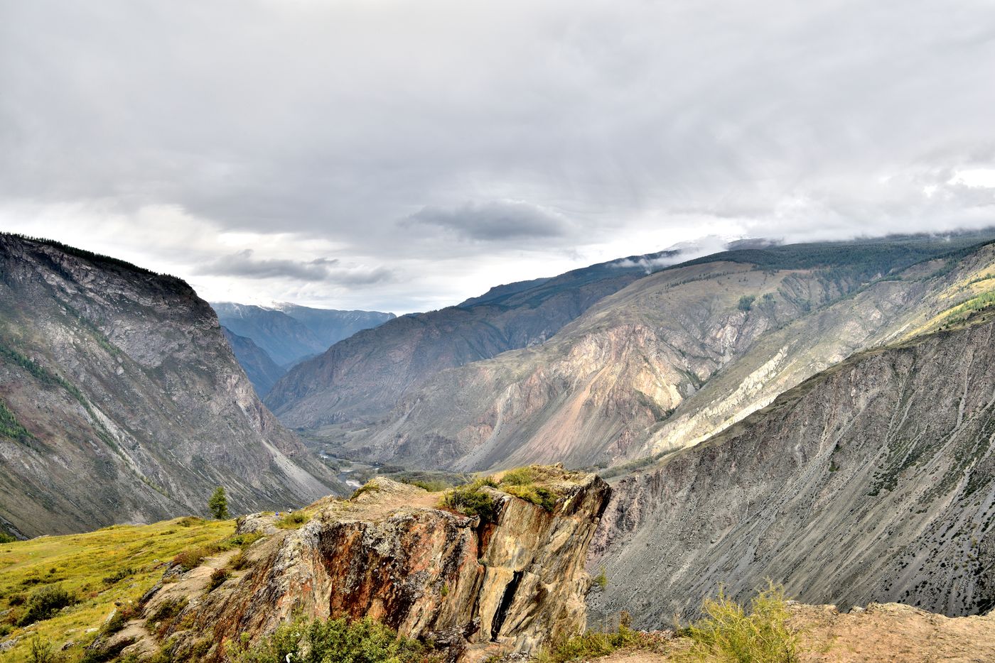
Altai Mountains
Siberia
The Altai Mountains are a mountain range in Central Asia, where Russia, China, Mongolia, and Kazakhstan converge, and where the rivers Irtysh and Ob have their headwaters. The highest summit of the range is Belukha, whose summit reaches 4,506 m above sea level.
Did you know?
A glaciated mountain system where Russia, Mongolia, China and Kazakhstan meet.
 Coasts
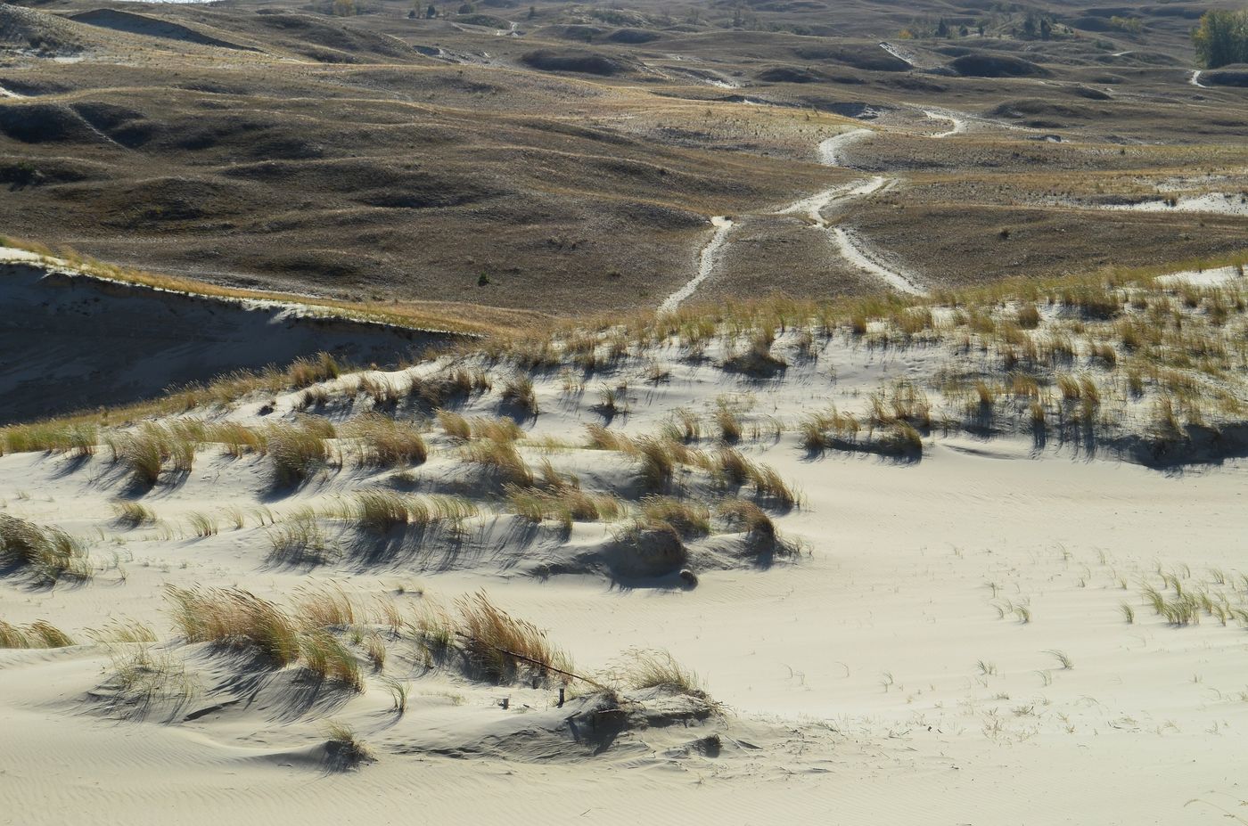
Curonian Spit
Kaliningrad
The Curonian Spit, sometimes called Courish Split, is a 98-kilometre-long (61 mi), thin, curved sand-dune spit that separates the Curonian Lagoon from the Baltic Sea. It is a UNESCO World Heritage Site shared by Lithuania and Russia.
Did you know?
A 98 km sand-dune peninsula separating a lagoon from the Baltic Sea.
 Mountains
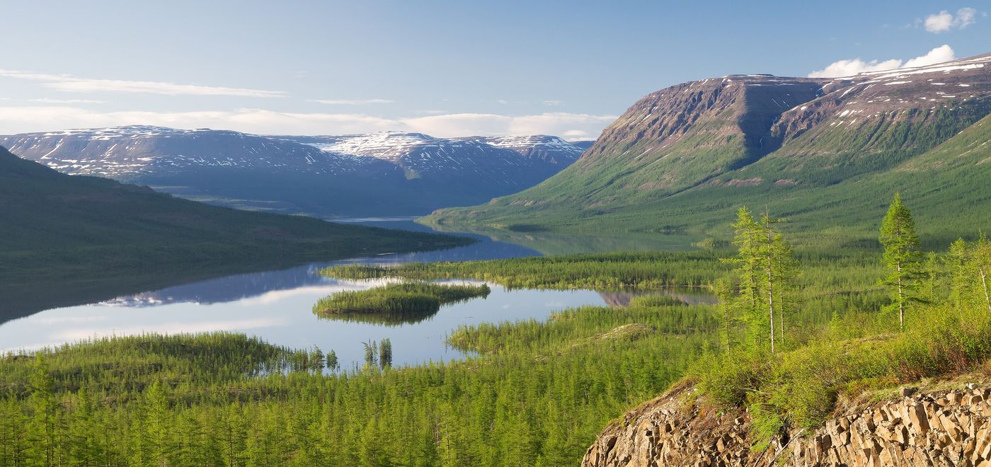
Putorana Plateau
Krasnoyarsk Krai
The Putorana Plateau or the Putorana Mountains is a mountainous area in Russia. It is a large massif or plateau crossed by mountain ranges. The nearest large settlement is Norilsk, where foreign travel is restricted.
Did you know?
A vast basalt plateau riddled with canyons and thousands of waterfalls above the Arctic Circle.
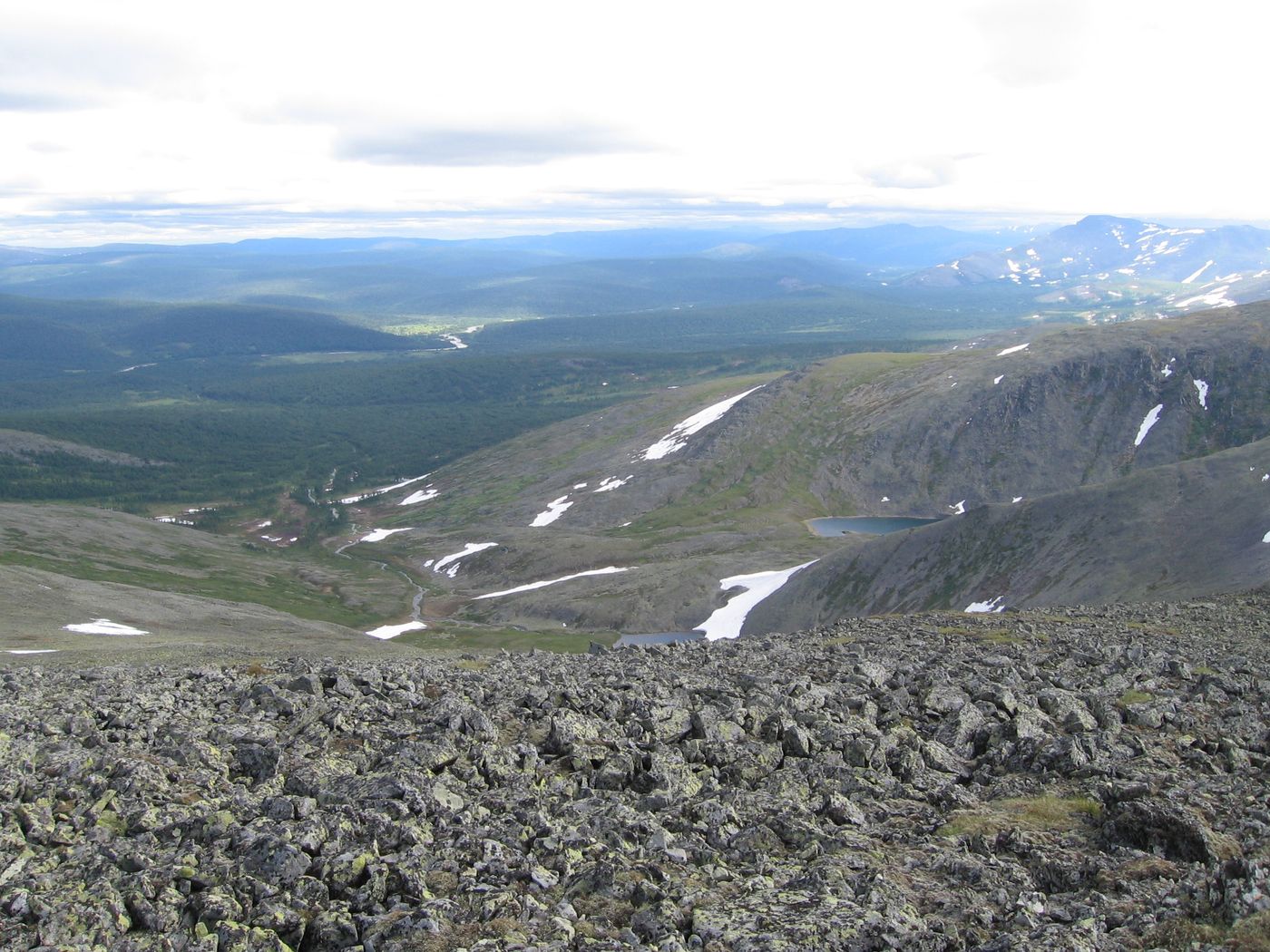 Mountains
Ural Mountains
Central Russia
The Ural Mountains, or simply the Urals, are a mountain range in Eurasia that runs north–south mostly through Russia, from the coast of the Arctic Ocean to the river Ural and northwestern Kazakhstan near the Caspian Sea. The mountain range forms part of the conventional boundary between the continents of Europe and Asia, marking the separation between European Russia and Siberia.
Did you know?
An ancient mountain chain marking the natural boundary between Europe and Asia.
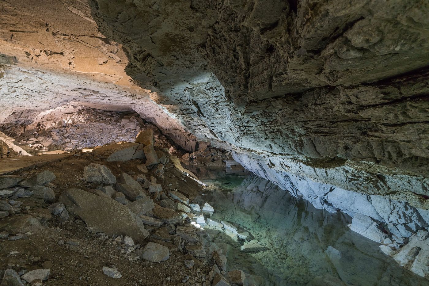 Caves
Kungur Ice Cave
Perm Krai
Kungur Ice Cave is a karst cave located in the Urals, near the town Kungur in Perm Krai, Russia, on the right bank of the Sylva River. The cave is noted for its ice formations and is a popular tourist landmark.
Did you know?
A 5.7 km gypsum cave famous for its permanent ice formations and underground lakes.