Melanesia
Papua New Guinea
The top 8 natural landmarks of Papua New Guinea — real photos, locations and fascinating facts for every wonder.
 Oceania
 Mountains
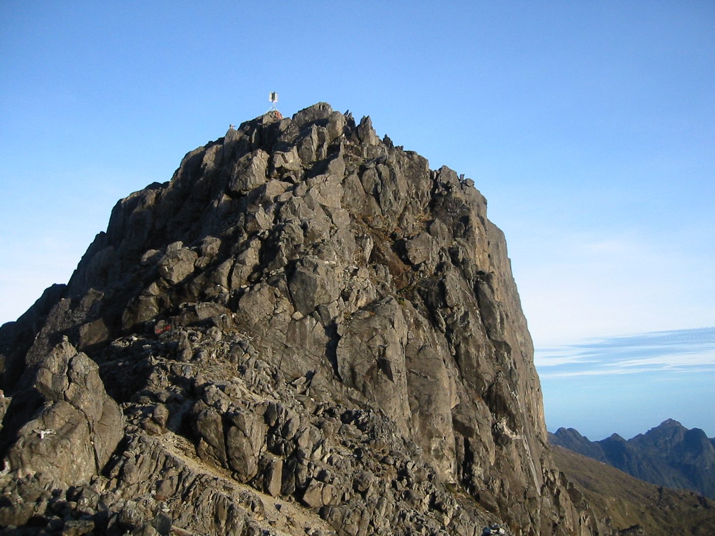
Mount Wilhelm
Chimbu
Mount Wilhelm (German: Wilhelmsberg) is the highest mountain in Papua New Guinea at 4,509 metres (14,793 ft). It is part of the Bismarck Range and the peak is the point where three provinces, Chimbu, Jiwaka and Madang, meet. In the local Kuman language, the peak is also known as Enduwa Kombuglu or Kombugl'o Dimbin.
Did you know?
Papua New Guinea's highest peak at 4,509 m, sometimes capped with frost.
 Forests
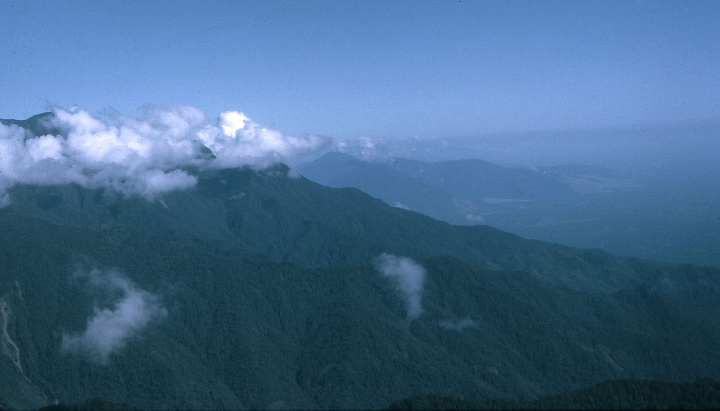
Kokoda Track
Owen Stanley Range
The Kokoda Track or Trail is a single-file foot thoroughfare that runs 96 kilometres (60 mi) overland – 60 kilometres (37 mi) in a straight line – through the Owen Stanley Range in Papua New Guinea (PNG).
Did you know?
A rugged jungle trail across steep, mist-shrouded mountain rainforest.
 Volcanoes
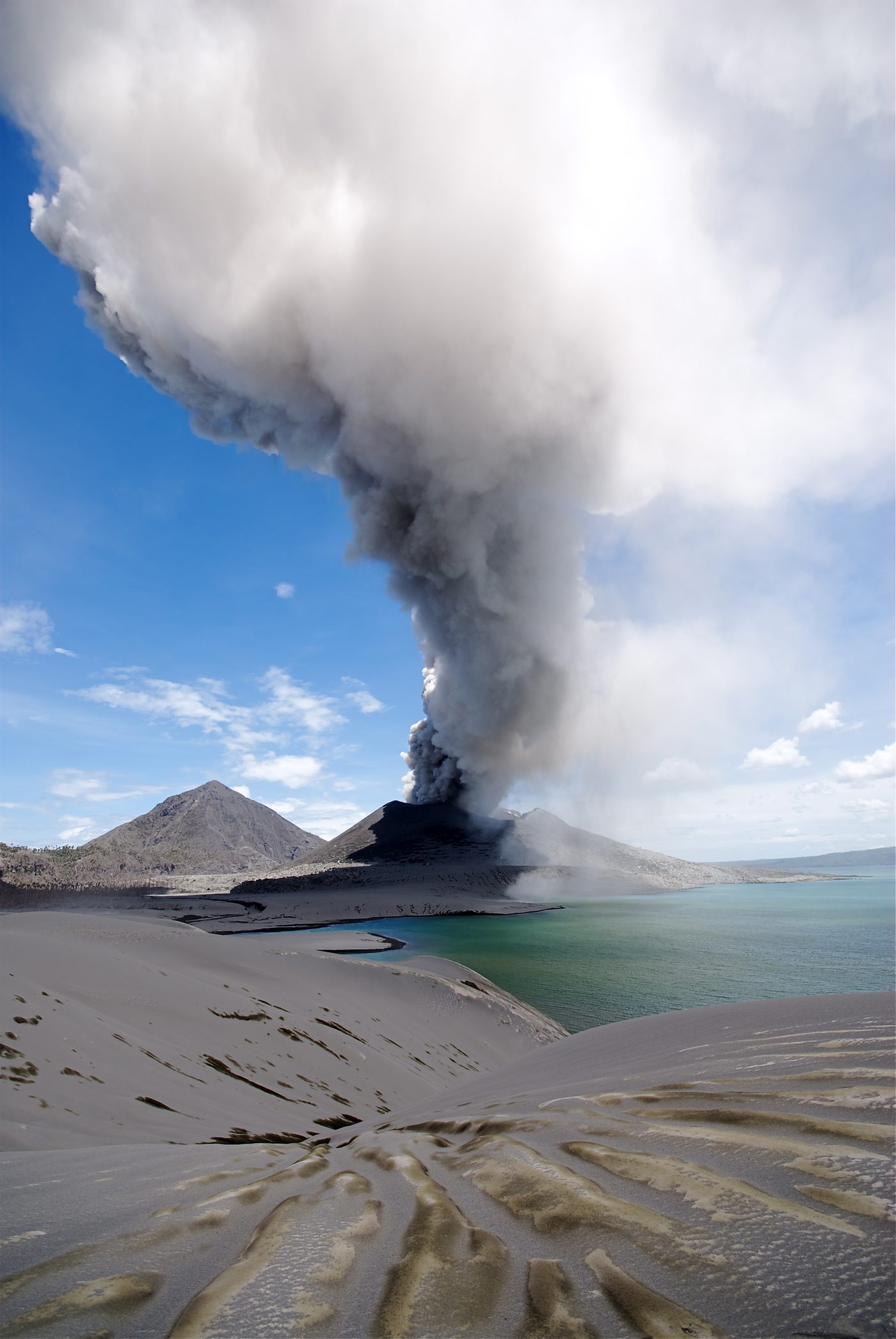
Tavurvur
East New Britain
Tavurvur is an active stratovolcano near Rabaul, on the island of New Britain, in Papua New Guinea. It is a sub-vent of the Rabaul caldera and lies on the eastern rim of the larger feature. An eruption of the volcano largely destroyed the nearby town of Rabaul in 1994.
Did you know?
An active volcano looming over Rabaul's ash-covered harbour.
 Rivers
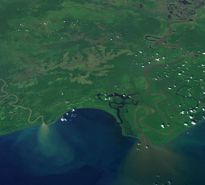
Sepik River
East Sepik
The Sepik () is the longest river on the island of New Guinea, and the third largest in Oceania by discharge volume after the Fly and Mamberamo.
Did you know?
A mighty winding river through vast lowland swamp and rainforest.
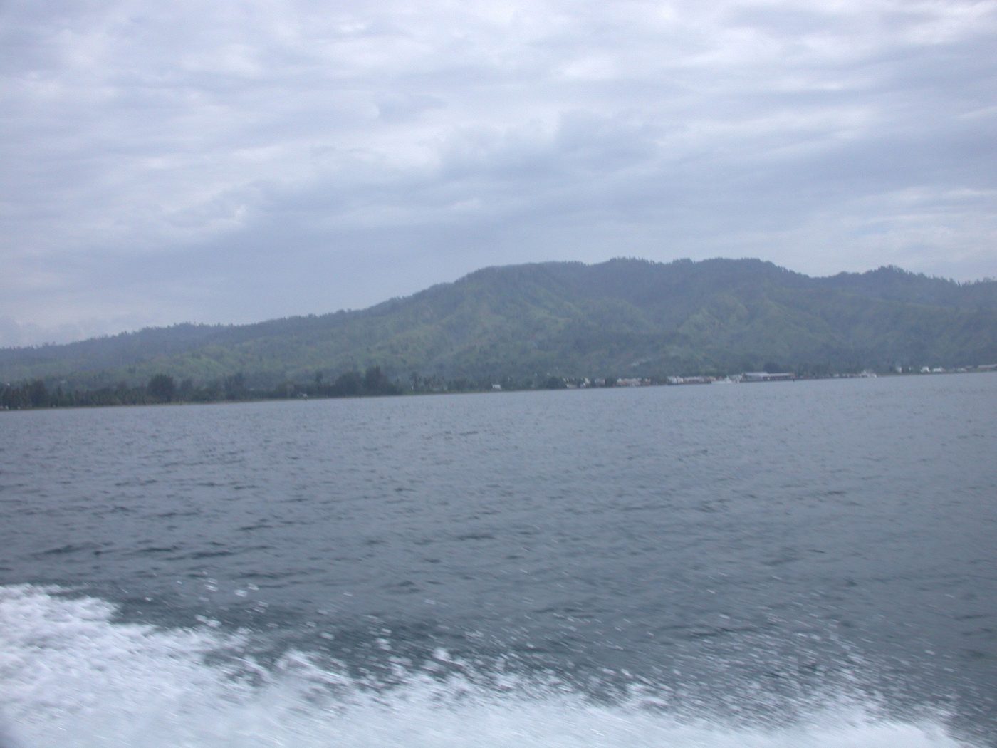 Coral Reefs
Kimbe Bay
West New Britain
Kimbe Bay is a large bay in West New Britain Province, off the northern coast of New Britain, Papua New Guinea, at 5.1666667°S 150.5°E / -5.1666667; 150.5. Kimbe Bay is an important biodiversity hotspot. 60 percent of the coral species of the entire Indo-Pacific region live here.
Did you know?
A bay holding over half of all known Indo-Pacific coral species.
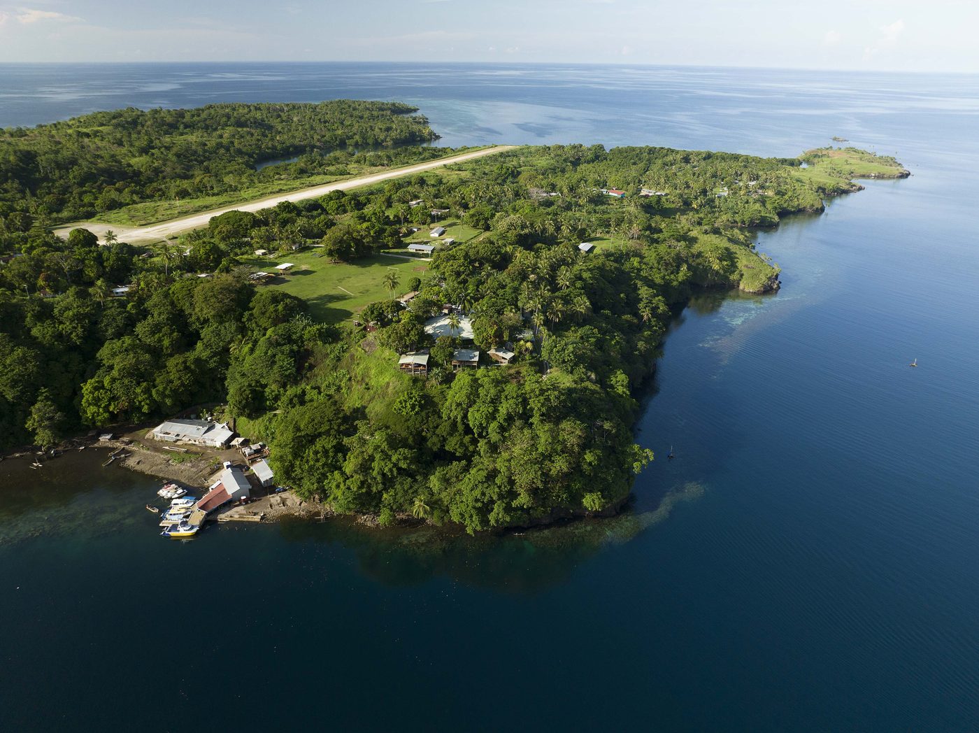 Coasts
Tufi Fjords
Oro Province
Tufi is a town located on the south eastern peninsula of Cape Nelson, Oro Province, Papua New Guinea. Tufi is located on one of many rias, or drowned river valleys, locally referred to as 'fjords', on Cape Nelson surrounded by many uncharted reefs. The area is also famous for its production of tapa cloth.
Did you know?
Deep tropical rias flanked by rainforest, dubbed the fjords of the tropics.
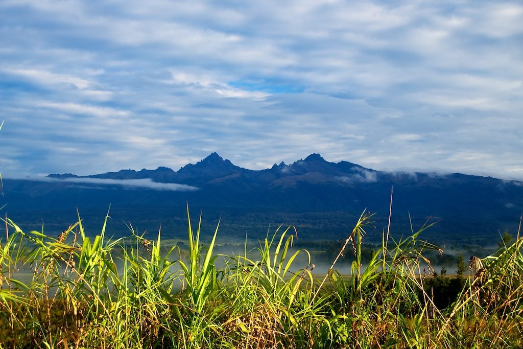 Volcanoes
Mount Giluwe
Southern Highlands
Mount Giluwe is the second highest mountain in Papua New Guinea at 4,367 metres (14,327 ft) (Mount Wilhelm being the highest), and the fifth highest peak on the island of New Guinea. It is located in the Southern Highlands province and is an old shield volcano with vast alpine grasslands.
Did you know?
The highest volcano in Oceania, with ancient glacial valleys.
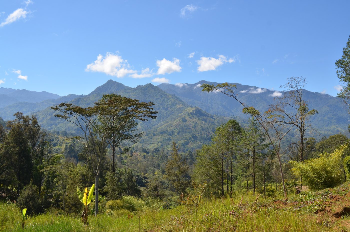 Mountains
Rainforest of the Highlands
Central Range
The New Guinea Highlands, also known as the Central Range or Central Cordillera, is a long chain of mountain ranges on the island of New Guinea, including the island's highest peak, Puncak Jaya, Indonesia, 16,024 ft (4,884 m), the highest mountain in Oceania.
Did you know?
Remote cloud forests harbouring some of Earth's last unexplored wildlife.