Southern Asia
Pakistan
The top 10 natural landmarks of Pakistan — real photos, locations and fascinating facts for every wonder.
 Asia
 Mountains
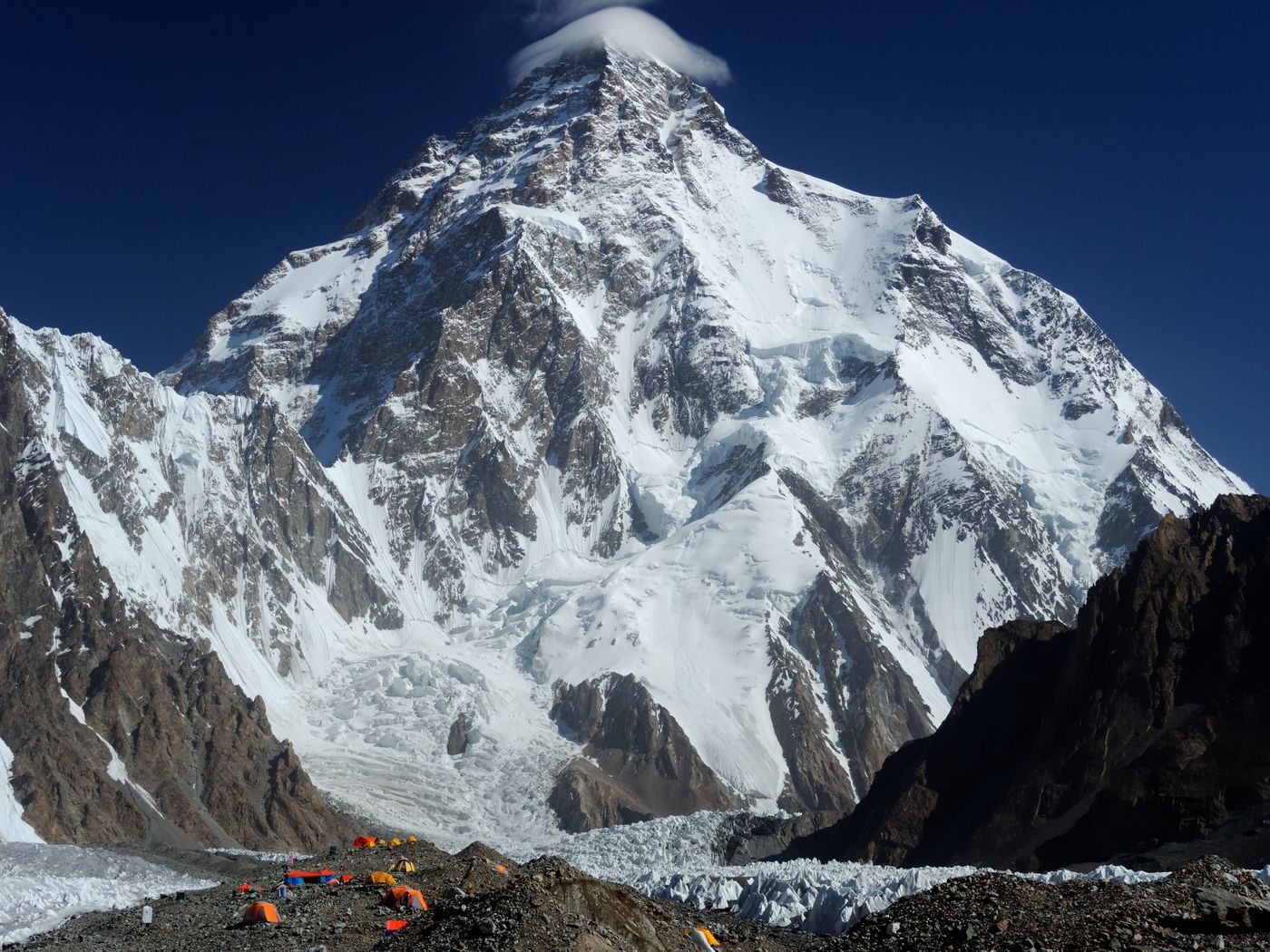
K2
Gilgit-Baltistan
K2, also known as Mount Godwin-Austen, at 8,611 metres (28,251 ft) above sea level, is the second-highest mountain on Earth, after Mount Everest at 8,849 metres (29,032 ft). It lies in the Karakoram range, partially in the Gilgit-Baltistan region of Pakistan-administered Kashmir and partially in the China-administered Trans-Karakoram Tract in the Taxkorgan Tajik Autonomous County of Xinjiang.
Did you know?
The second-highest mountain on Earth and the most dangerous of the 8,000ers to climb.
 Grasslands
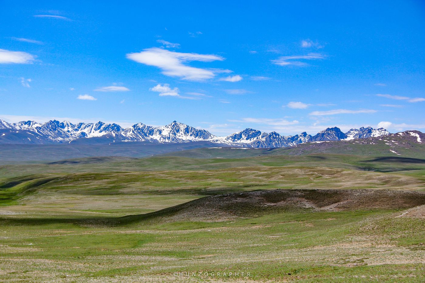
Deosai Plains
Gilgit-Baltistan
Deosai National Park is a high-elevation national park located on an alpine plain between the Skardu District and Astore District in Gilgit-Baltistan, Pakistan. Lying to the east of Nanga Parbat in the western Himalayas close to the central Karakoram Range and surrounded by Deosai Mountains, the national park is in the tentative list under World Heritage Site of Pakistan.
Did you know?
One of the highest plateaus in the world, blanketed with wildflowers in summer.
 Mountains
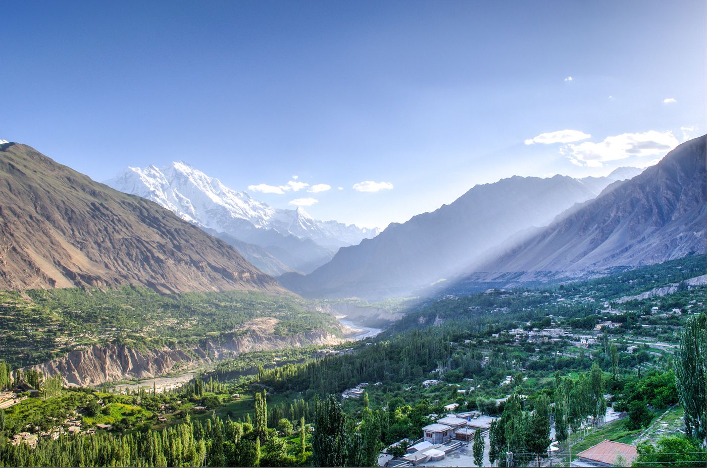
Hunza Valley
Gilgit-Baltistan
The Hunza Valley, also known as the Hunza-Nagar Valley, is a mountainous river valley traversed by the Hunza River in Gilgit-Baltistan region, in Pakistan-administered Kashmir.
Did you know?
A lush mountain valley ringed by snow peaks and famed for its longevity legends.
 Grasslands
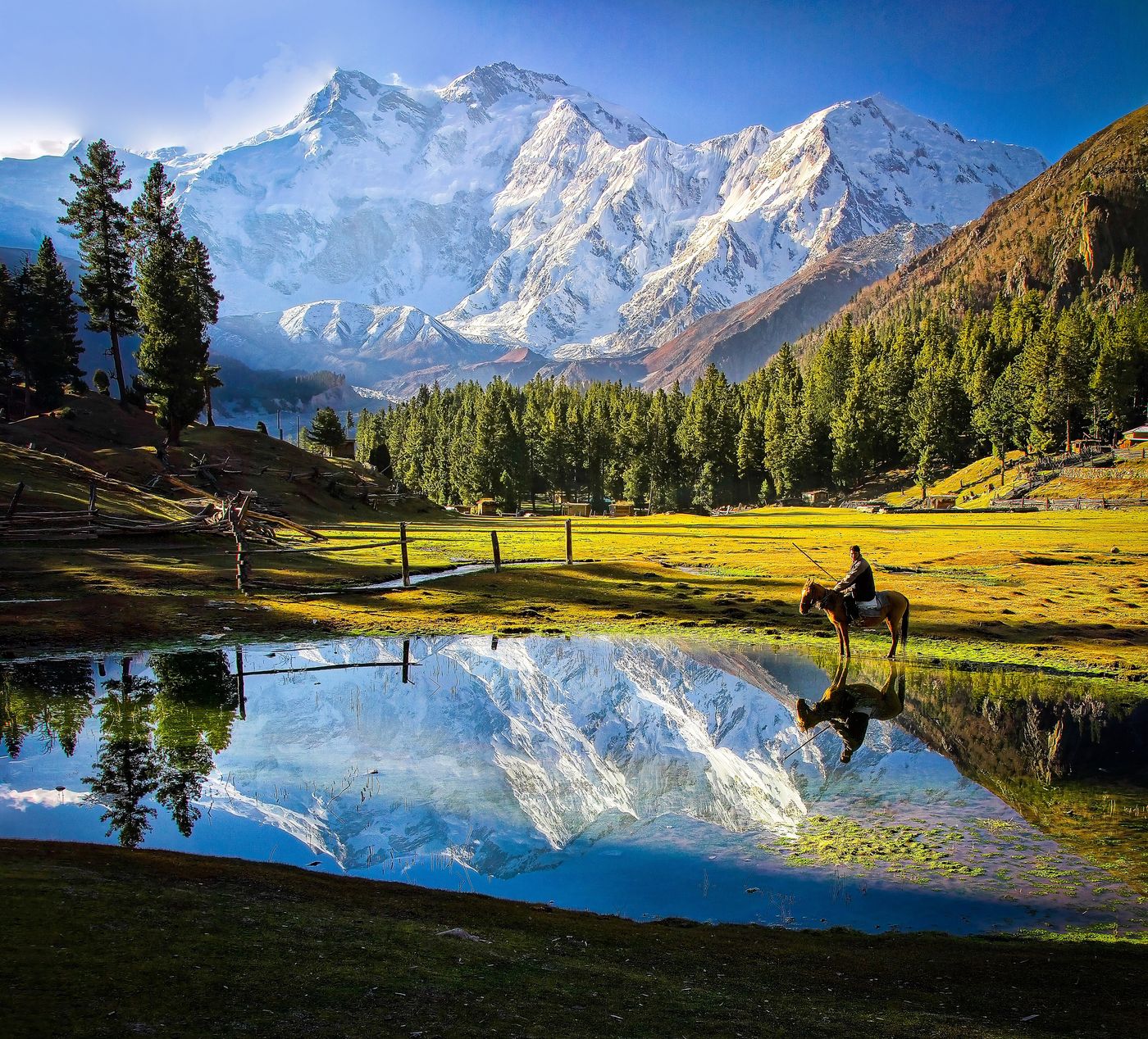
Fairy Meadows
Nanga Parbat
The Fairy Meadows, locally known as Joot, is an area of grassland near one of the base camp sites of Nanga Parbat, located in Diamer District in the Gilgit-Baltistan region in Pakistan. At an altitude of about 3,300 metres (10,800 ft) above sea level, it serves as the launching point for mountaineers summiting Nanga Parbat by the Rakhiot face.
Did you know?
An alpine meadow with a front-row view of the sheer face of Nanga Parbat.
 Lakes
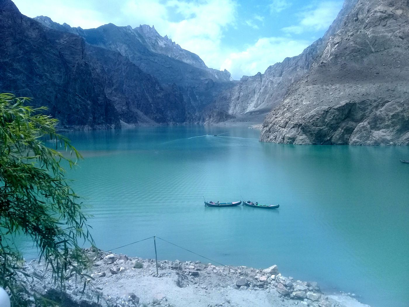
Attabad Lake
Hunza
Attabad Lake, also known as Hunza Lake, is a lake located in the Gojal region of the Pakistani-administered Gilgit-Baltistan. It was formed in January 2010 when a significant landslide impounded the water in the Hunza River in Attabad village.
Did you know?
A vivid turquoise lake formed by a 2010 landslide that dammed the Hunza River.
 Glaciers
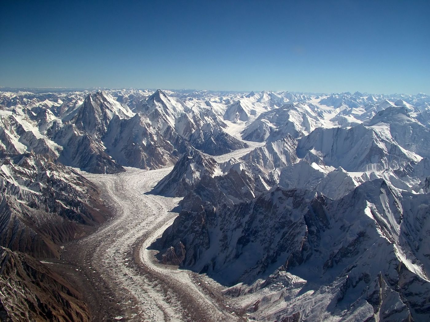
Baltoro Glacier
Karakoram
The Baltoro Glacier is a glacier located in the Shigar District of the Gilgit-Baltistan, a region in Pakistan-administered Kashmir.
Did you know?
One of the longest glaciers outside the polar regions, a highway to K2.
 Deserts
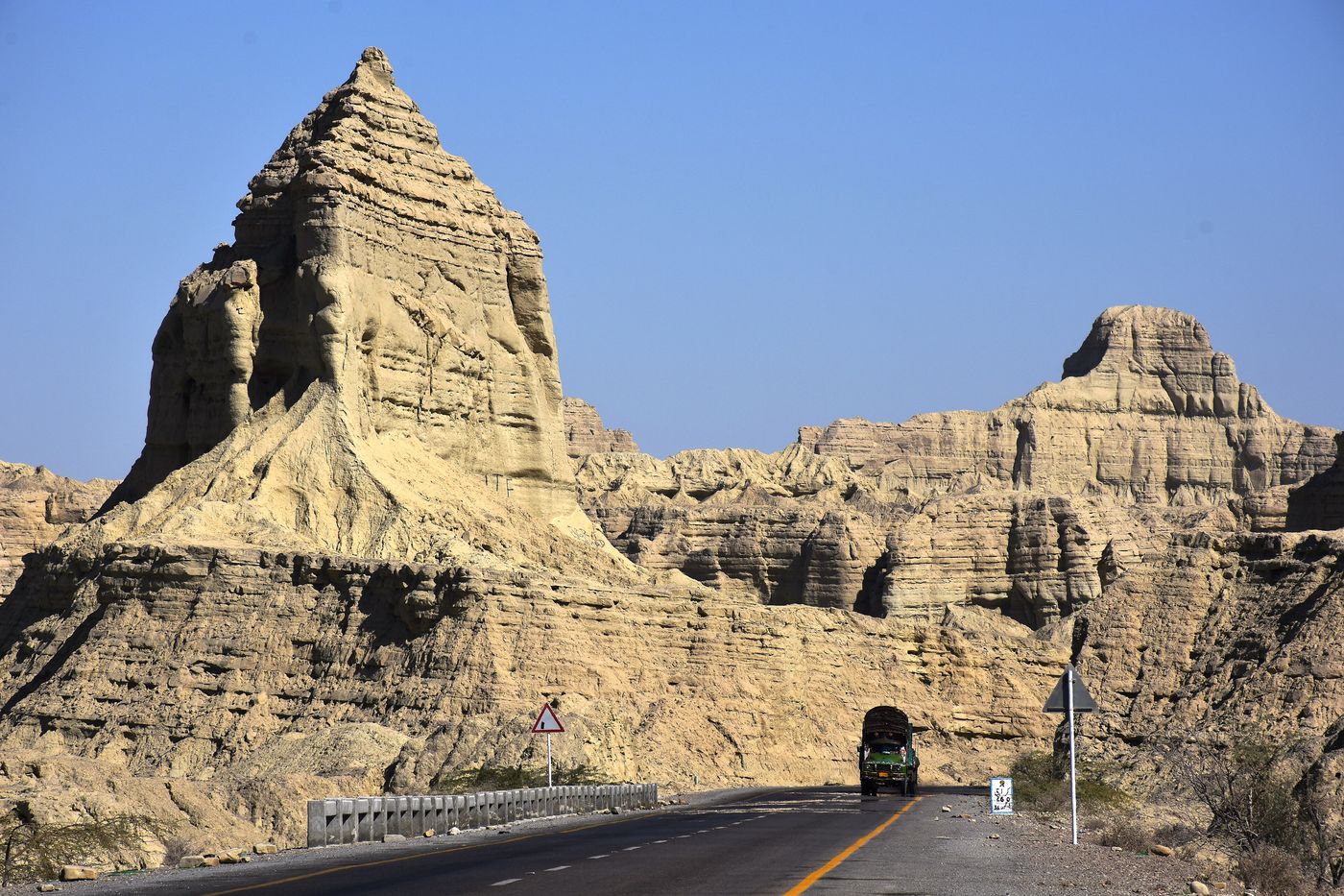
Hingol National Park
Balochistan
Hingol National Park or Hungol National Park is the largest national park in Pakistan, located in the Makran coastal region of Balochistan along the Arabian Sea. The park covers an area of about 6,100 square kilometres (2,400 sq mi) and is located 200 km northwest of Karachi in the three districts of Gwadar, Lasbela and Awaran in Balochistan.
Did you know?
Pakistan's largest park, home to mud volcanoes and the Princess of Hope rock.
 Lakes
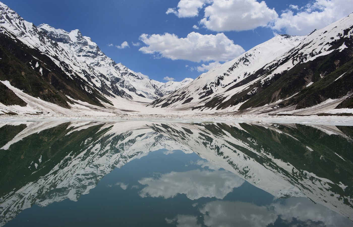
Saiful Muluk
Kaghan Valley
Saiful Muluk is a mountainous lake in northern Pakistan, located at the northern end of the Kaghan Valley, near the town of Naran in the Saiful Muluk National Park. The lake is named after a legendary prince from the folk tale Saiful Muluk, later put into poem form by the Sufi poet Mian Muhammad Bakhsh.
Did you know?
A high alpine lake wrapped in fairy-tale folklore beneath Malika Parbat.
 Rivers
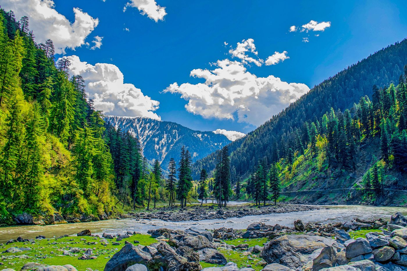
Neelum Valley
Azad Kashmir
Neelum District is a district of Pakistan-administered territory of Azad Kashmir, in the disputed Kashmir region. It is the northernmost and the largest by land area of the ten districts of Azad Kashmir.
Did you know?
A green river valley of waterfalls and forested slopes along the Neelum.
 Deserts
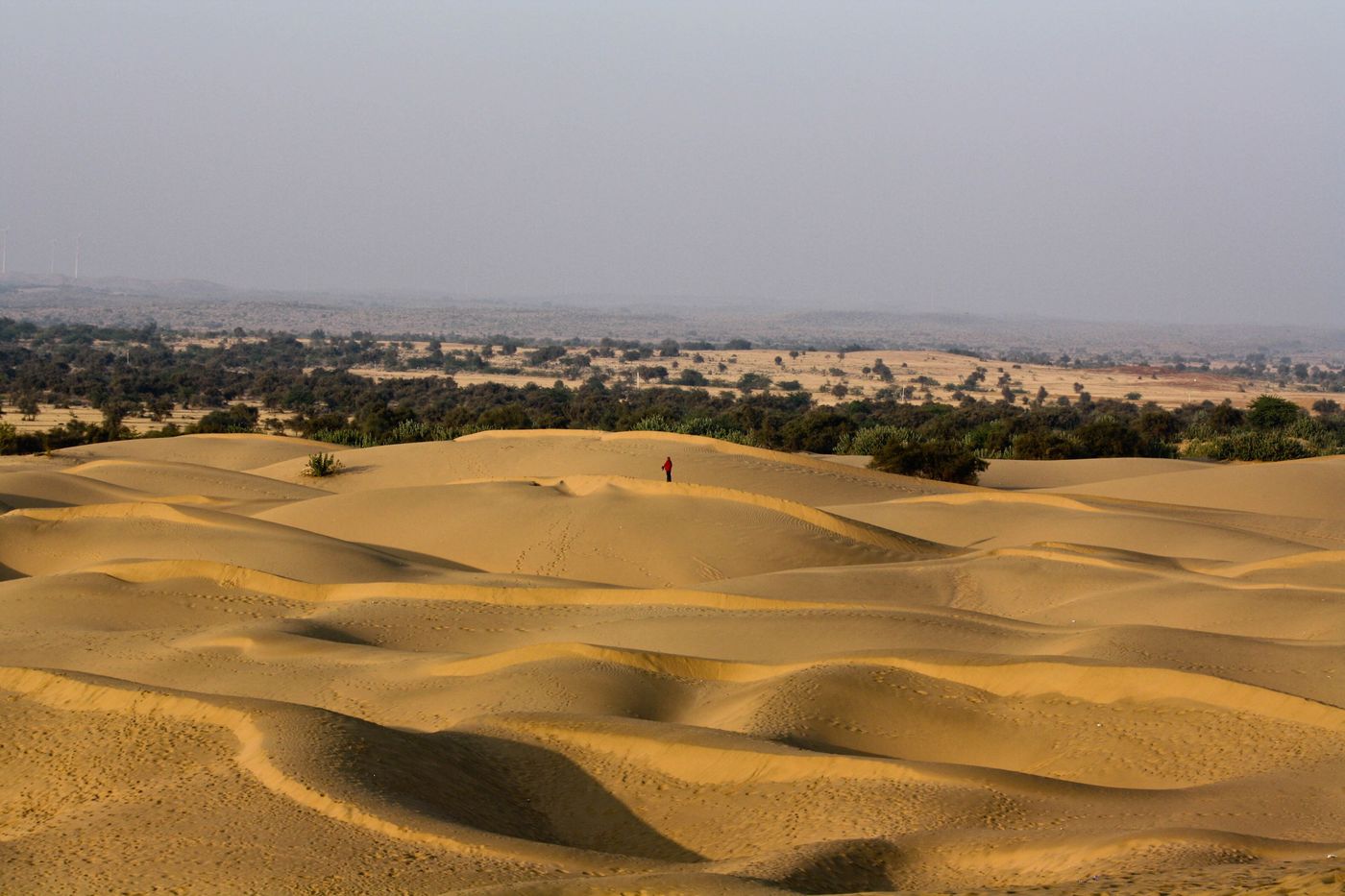
Thar Desert
Sindh
The Thar Desert, also known as the Great Indian Desert, is an arid region in the north-western part of the Indian subcontinent stretching across India and Pakistan. Covering an area of 264,091 km2 (101,966 sq mi), it is one of the largest subtropical deserts in Asia by area.
Did you know?
A vast arid expanse straddling the Pakistan-India border.