Western Europe
Netherlands
The top 5 natural landmarks of Netherlands — real photos, locations and fascinating facts for every wonder.
 Europe
 Wetlands
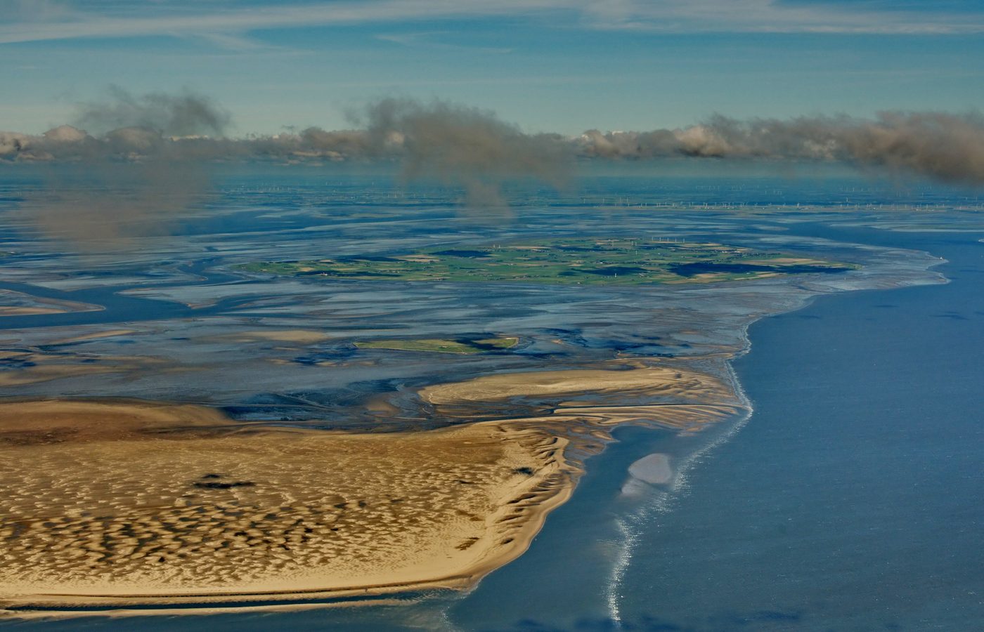
Wadden Sea
Northern Netherlands
The Wadden Sea (Dutch: Waddenzee [ˈʋɑdə(n)zeː] ; German: Wattenmeer [ˈvatn̩ˌmeːɐ̯] ; Low German: Wattensee or Waddenzee; Danish: Vadehavet; West Frisian: Waadsee; North Frisian: di Heef) is an intertidal zone in the southeastern part of the North Sea.
Did you know?
The world's largest unbroken intertidal flats, vital for migrating birds.
 Forests
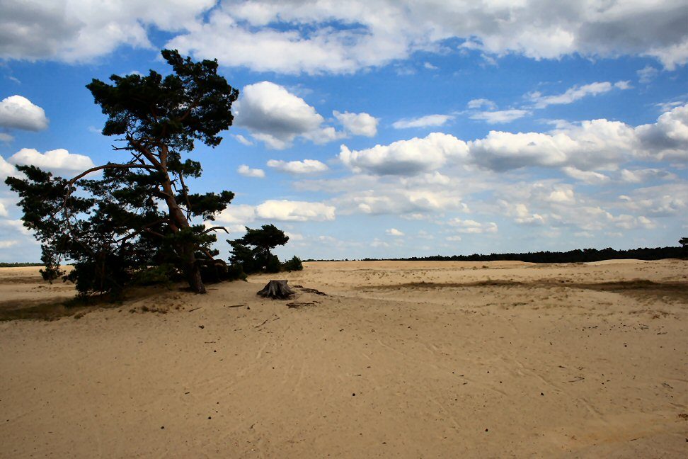
Hoge Veluwe
Gelderland
De Hoge Veluwe National Park (Dutch pronunciation: [də ˈɦoːɣə ˈveːlyʋə]; "The High Veluwe") is a Dutch national park in the province of Gelderland near the cities of Ede, Wageningen, Arnhem and Apeldoorn. It is approximately 55 km2 (14,000 acres; 21 sq mi) in area, consisting of heathlands, sand dunes, and woodlands.
Did you know?
Heath, drifting sand and woodland in one of the country's largest parks.
 Forests
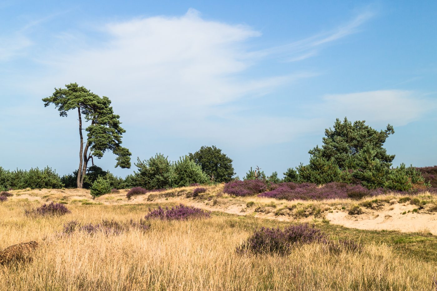
Drents-Friese Wold
Drenthe
Pine forest, heath and one of Europe's largest inland sand drifts.
Did you know?
Pine forest, heath and one of Europe's largest inland sand drifts.
 Coasts
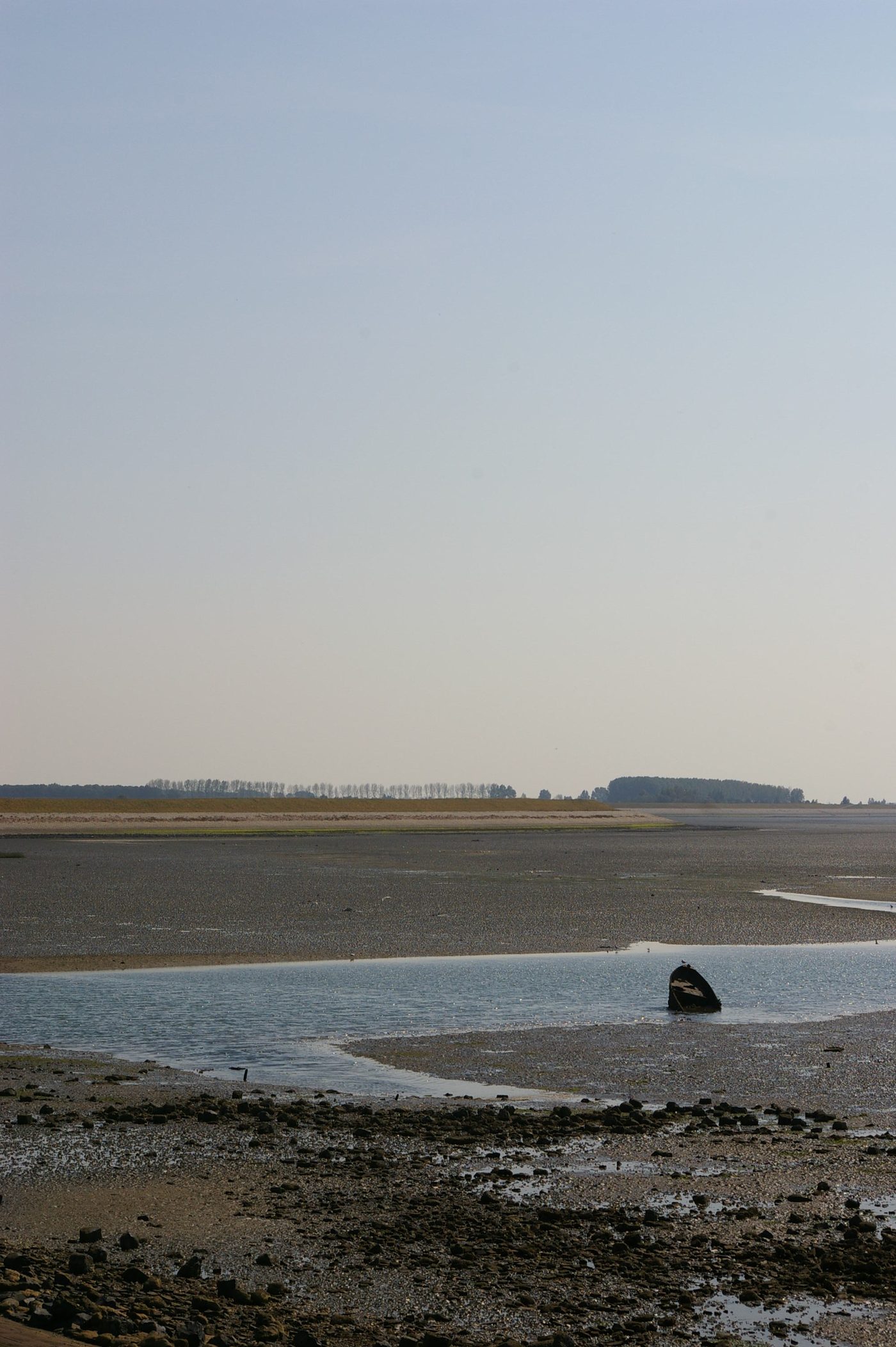
Oosterschelde
Zeeland
Oosterschelde National Park is a national park in the Dutch province of Zeeland. This national park was established on 8 May 2002. It comprises the Eastern Scheldt (Dutch: Oosterschelde), Keeten-Mastgat, Krabbenkreek, Zijpe, Slaak, and Krammer.
Did you know?
A tidal sea arm that is the Netherlands' largest national park.
 Deserts
Loonse en Drunense Duinen
North Brabant
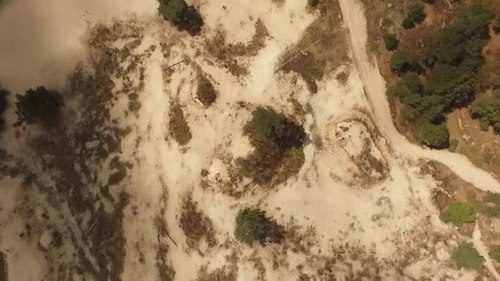
De Loonse en Drunense Duinen National Park (duinen = dunes) is a national park situated in the south of the Netherlands, between the cities of Tilburg, Waalwijk and 's-Hertogenbosch. It has been designated as a national park since 2002.
Did you know?
Shifting inland sand dunes nicknamed the Brabant Sahara.