Western Africa
Niger
The top 5 natural landmarks of Niger — real photos, locations and fascinating facts for every wonder.
 Africa
 Mountains
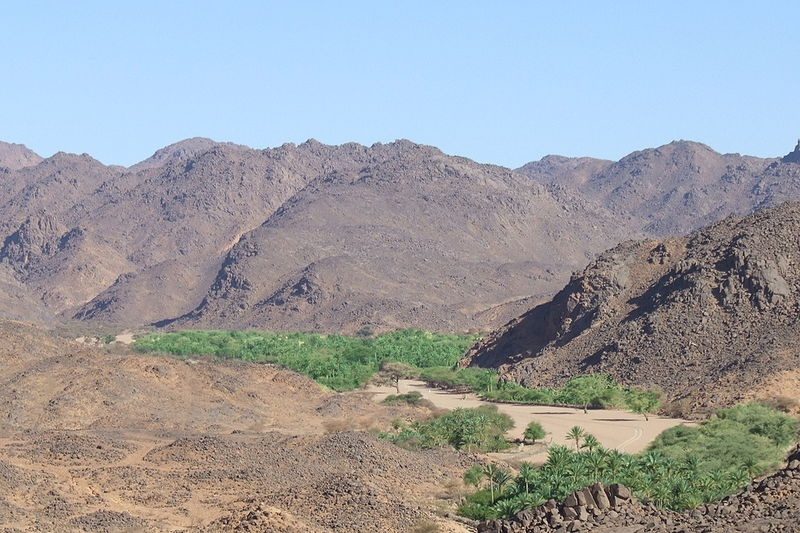
Aïr Mountains
Agadez
The Aïr Mountains or Aïr Massif (Tamajăq: Ayǝr; Hausa: Eastern Azbin, Western Abzin) is a triangular massif, located in northern Niger, within the Sahara. Part of the West Saharan montane xeric woodlands ecoregion, they rise to more than 1,800 m (5,900 ft) and extend over 84,000 km2 (32,000 sq mi).
Did you know?
An isolated volcanic massif rising above the Sahara sands.
 Deserts
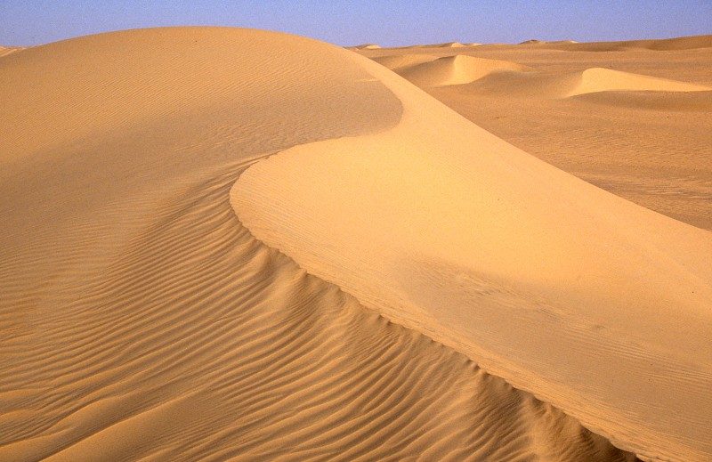
Ténéré Desert
Eastern Niger
The Ténéré (Tuareg: Tenere, literally: "desert") is a desert region in south central Sahara. It comprises a vast plain of sand stretching from northeastern Niger to western Chad, occupying an area of over 400,000 square kilometres (150,000 sq mi).
Did you know?
A legendary sea of golden dunes in the south-central Sahara.
 Grasslands
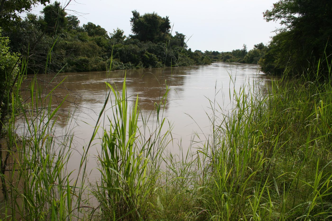
W National Park
Southwestern Niger
The W National Park (French: Parc national du W) or W Regional Park (French: W du Niger) is a major national park in West Africa around a meander in the Niger River shaped like the letter W (French: double v).
Did you know?
A savanna park on the Niger River named for the river's bends.
 Rivers
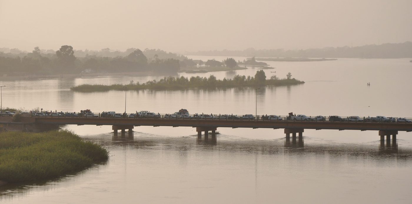
Niger River
Western Niger
The Niger River ( NY-jər; French: (le) fleuve Niger [(lə) flœv niʒɛʁ]) is the main river of West Africa, extending about 4,180 kilometres (2,600 miles). Its drainage basin is 2,117,700 km2 (817,600 sq mi) in area.
Did you know?
West Africa's great river curving through the dry Sahel.
 Grasslands
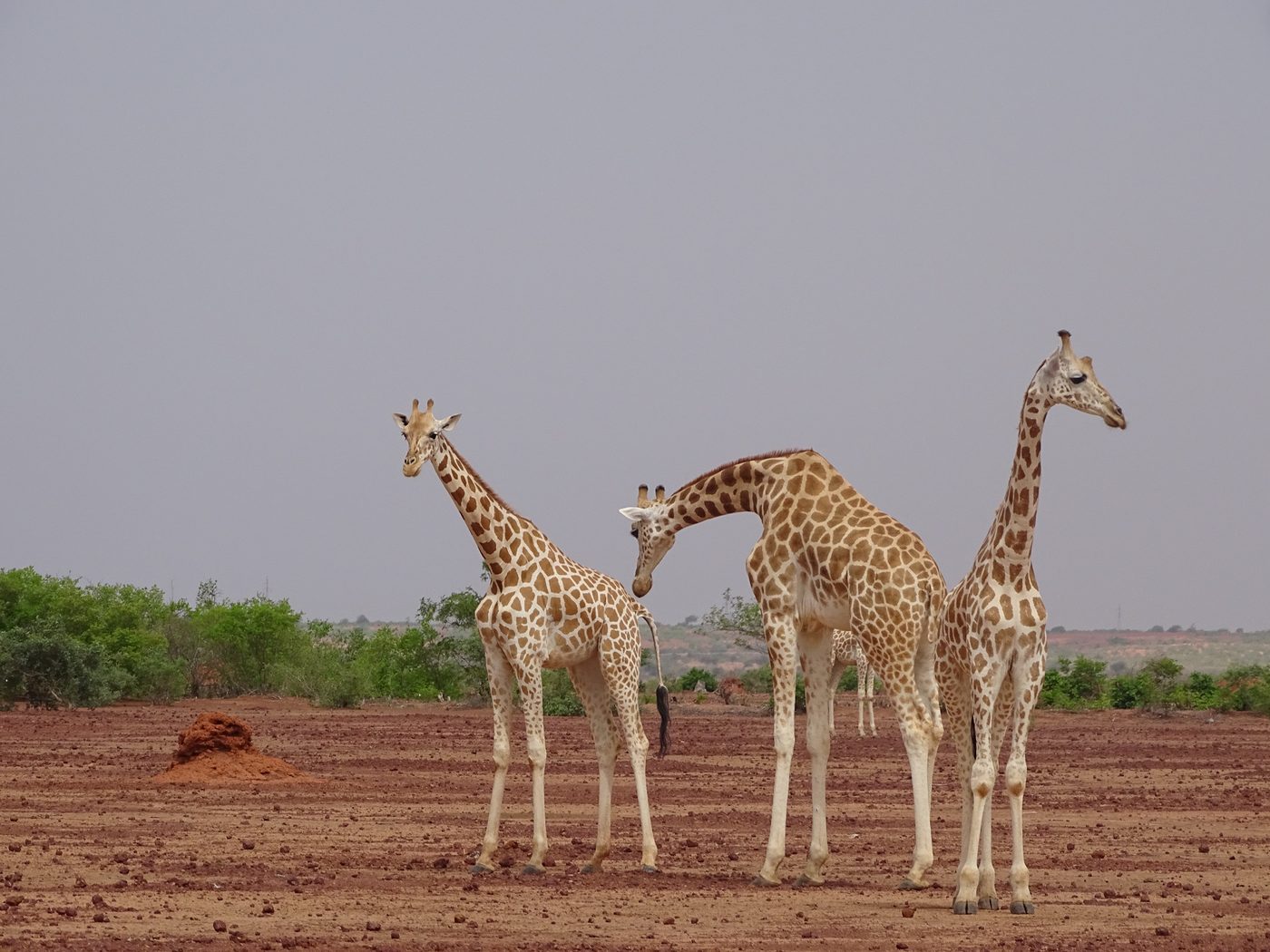
Kouré Giraffes
Tillabéri
Kouré is a rural community located 60 kilometres (37 mi) east of Niamey, the capital of Niger. The town lies on both sides of the road from Niamey to Dallol Bosso. As of 2012, it had a population of 46,249.
Did you know?
Open bushland sheltering the last wild West African giraffes.