Southern Africa
Namibia
The top 5 natural landmarks of Namibia — real photos, locations and fascinating facts for every wonder.
 Africa
 Deserts
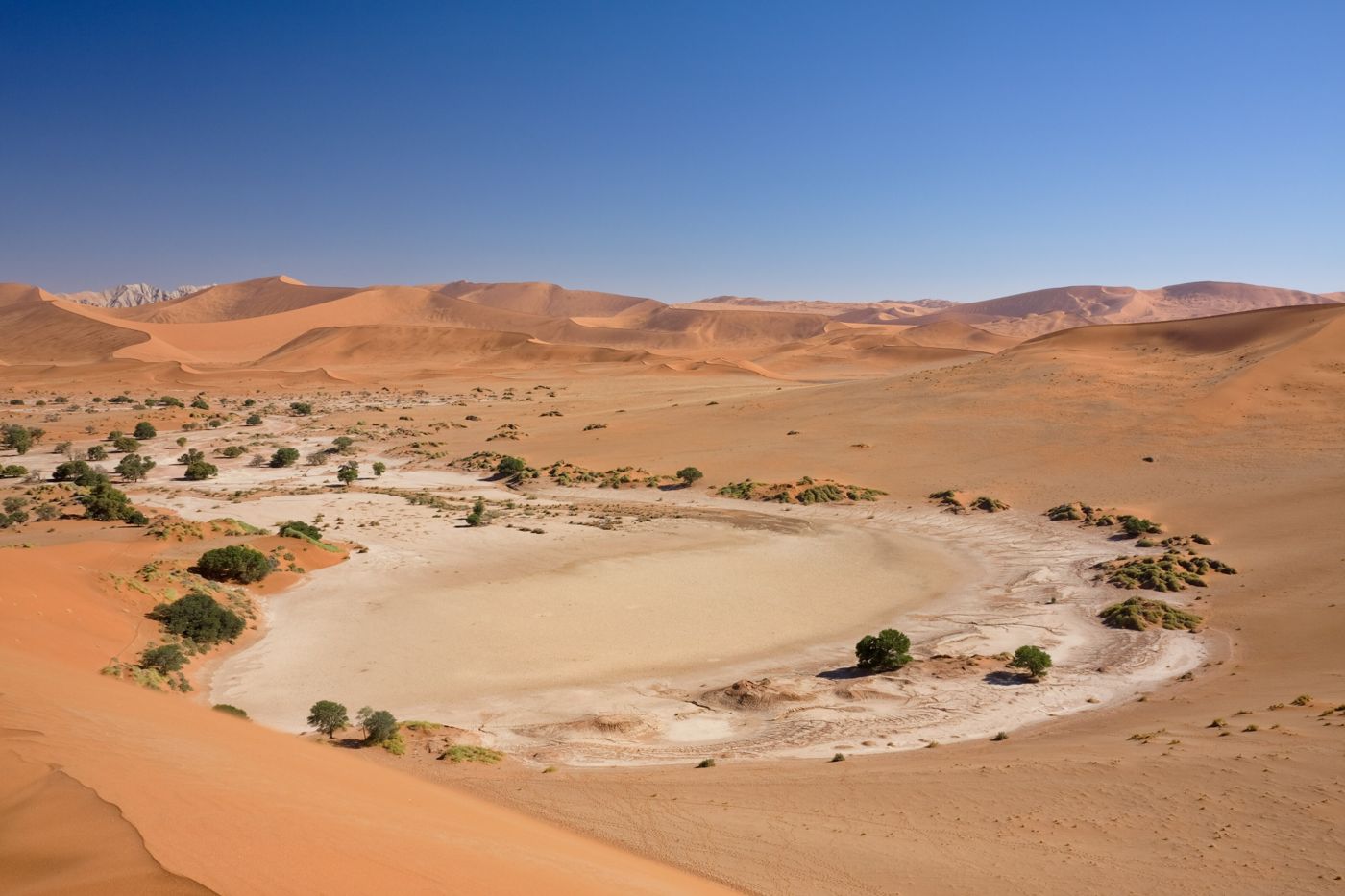
Sossusvlei
Namib Desert
Sossusvlei is a salt and clay pan surrounded by high red dunes, located in the southern part of the Namib Desert, in the Namib-Naukluft National Park of Namibia. The name "Sossusvlei" is often used in an extended meaning to refer to the surrounding area.
Did you know?
A sea of towering red dunes, among the tallest on Earth.
 Canyons
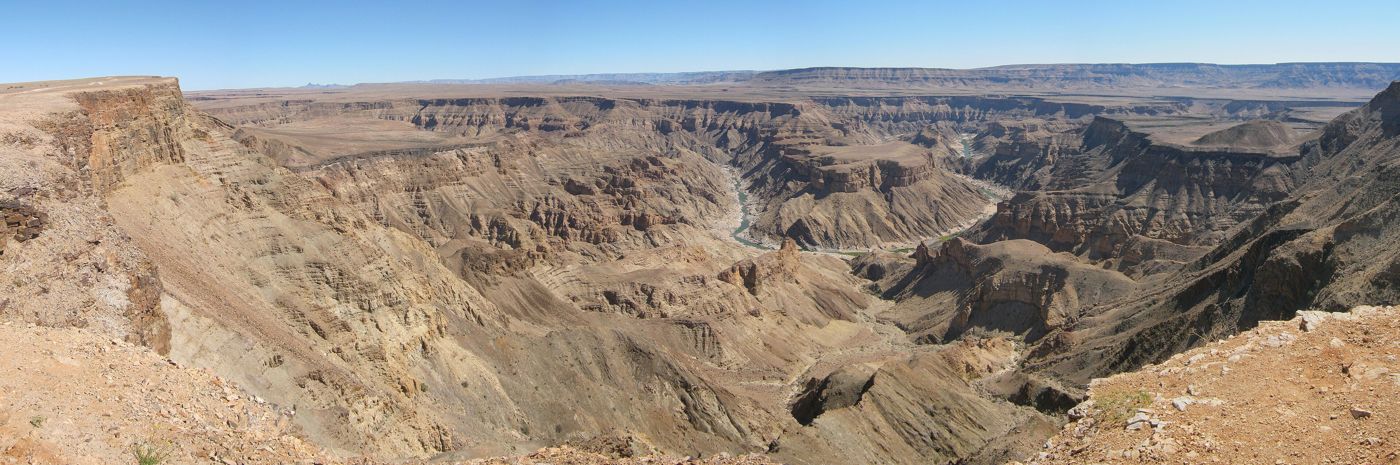
Fish River Canyon
southern Namibia
The Fish River Canyon is located in the south of Namibia. It is the largest canyon in Africa, and the second most visited tourist attraction in Namibia.
Did you know?
One of the largest canyons in the world, carved over aeons.
 Deserts
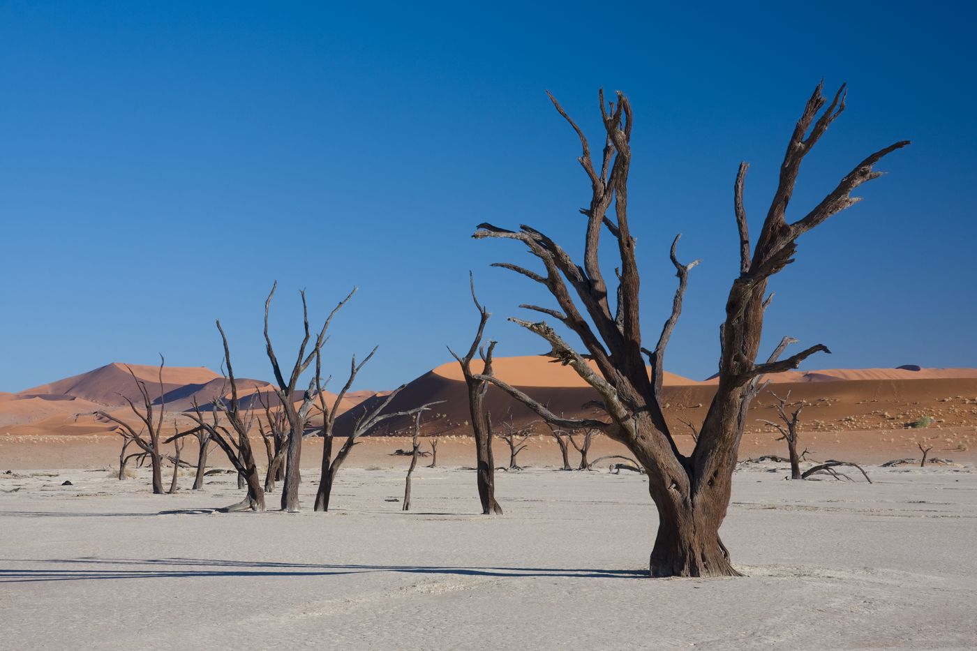
Deadvlei
Namib-Naukluft
Deadvlei is a white clay pan located near the more famous salt pan of Sossusvlei, in a valley between the dunes in the Namib-Naukluft Park in Namibia. Also written DeadVlei or Dead Vlei, its name means "dead marsh".
Did you know?
A white clay pan studded with blackened, centuries-dead trees.
 Grasslands
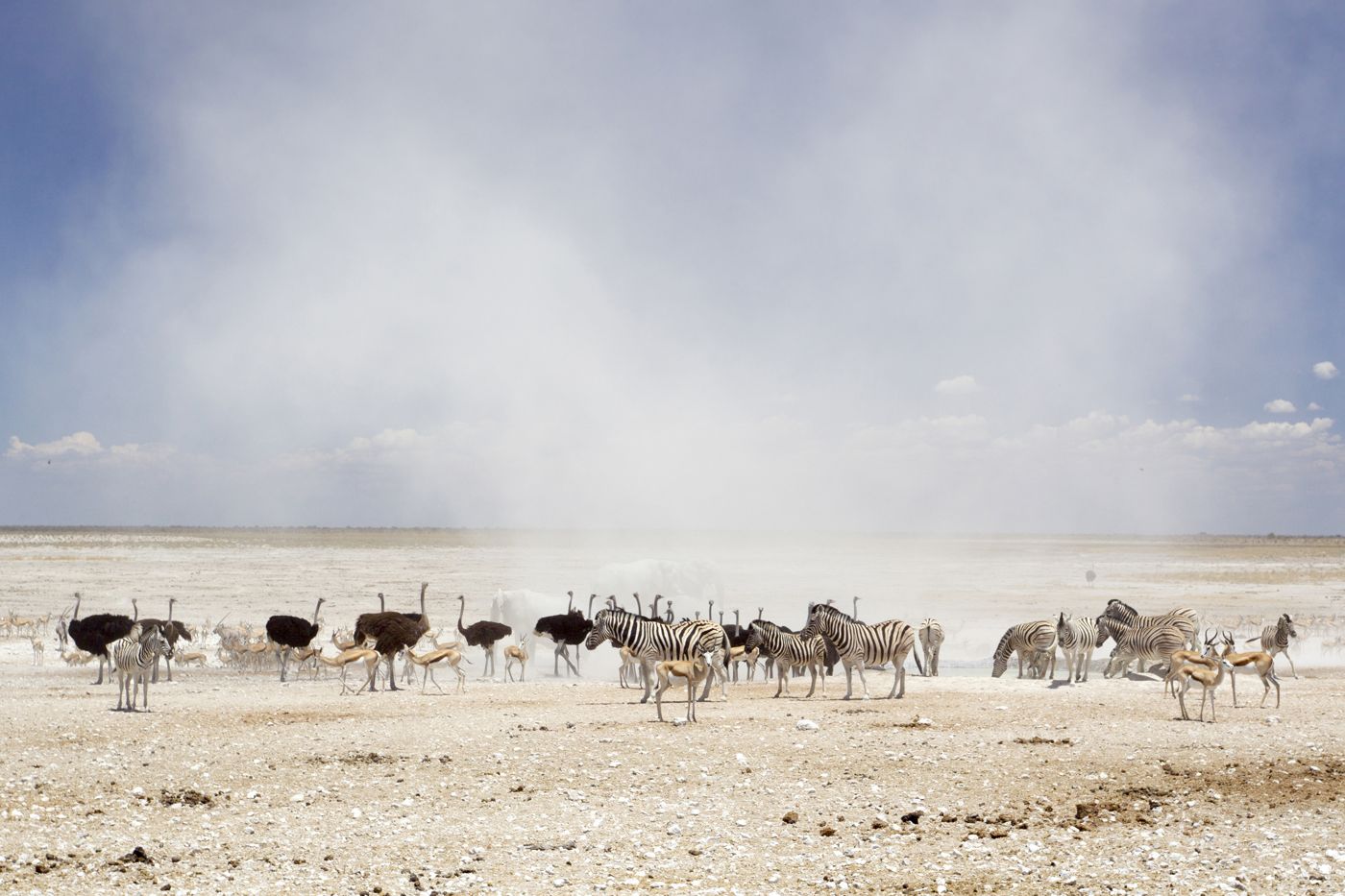
Etosha
northern Namibia
Etosha National Park is a national park in northwestern Namibia and one of the largest national parks in Africa. It was proclaimed a game reserve in March 1907 in Ordinance 88 by the Governor of German South West Africa, Friedrich von Lindequist.
Did you know?
A great salt pan and savanna teeming with desert-adapted wildlife.
 Coasts
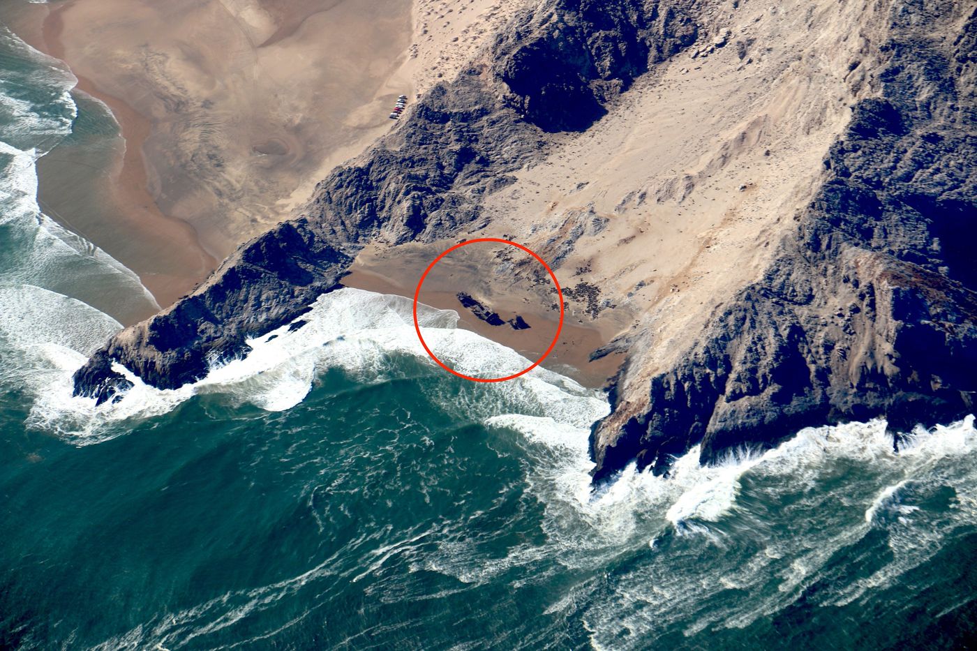
Skeleton Coast
northwest coast
The Skeleton Coast is the northern part of the Atlantic coast of Namibia. Immediately south of Angola, it stretches from the Kunene River to the Swakop River, although the name is sometimes used to describe the entire Namib Desert coast.
Did you know?
A fog-bound Atlantic shore strewn with shipwrecks and dunes.