Eastern Africa
Malawi
The top 5 natural landmarks of Malawi — real photos, locations and fascinating facts for every wonder.
 Africa
 Lakes
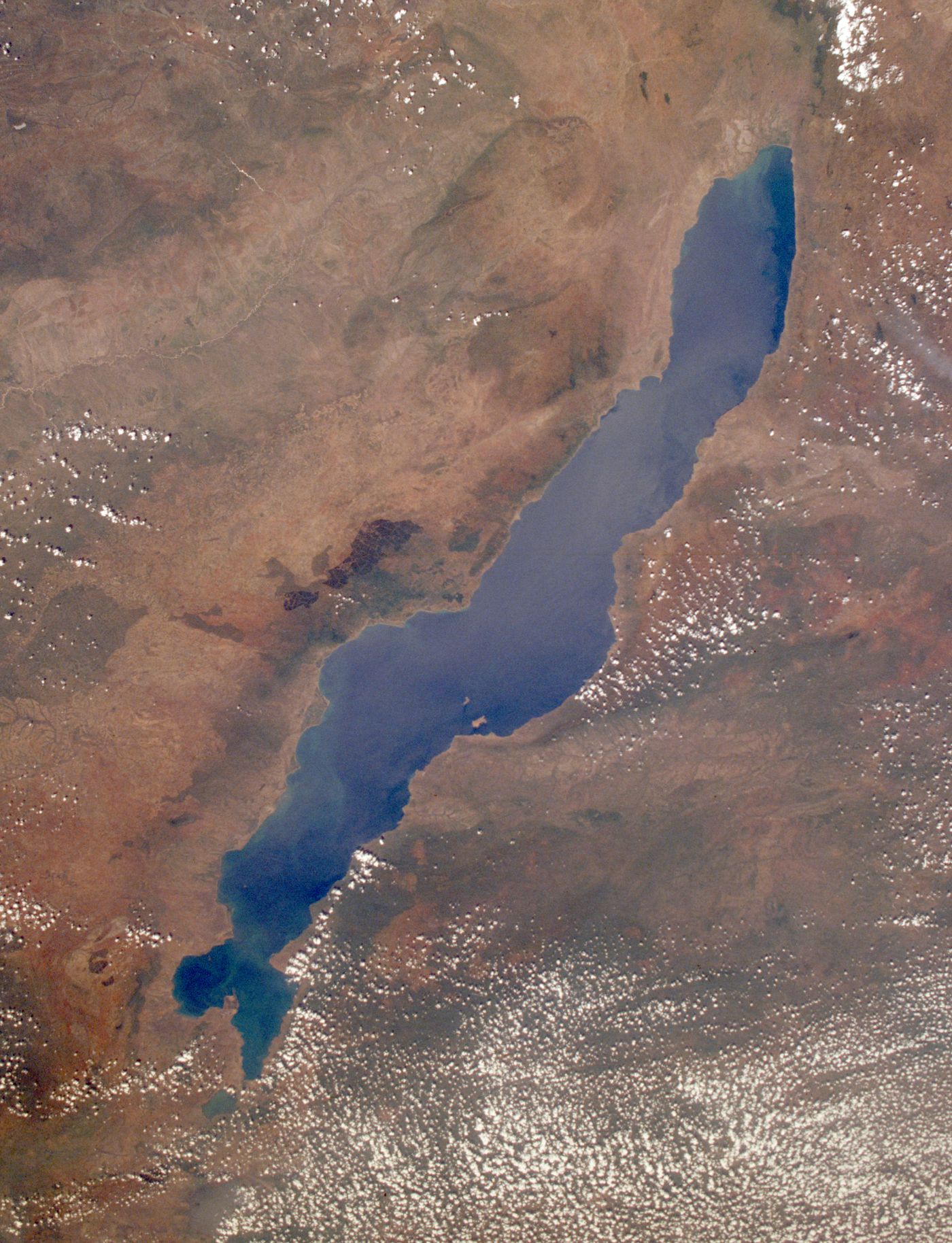
Lake Malawi
Eastern Malawi
Lake Malawi, also known as Lake Nyasa in Tanzania and Lago Niassa in Mozambique, is an African Great Lake and the southernmost lake in the East African Rift system, located between Malawi, Mozambique and Tanzania.
Did you know?
A crystal-clear rift lake with more fish species than any other lake on Earth.
 Mountains
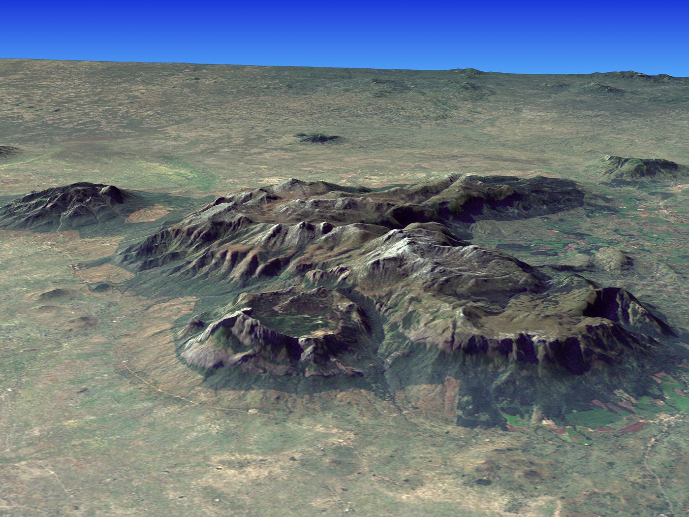
Mulanje Massif
Southern Malawi
The Mulanje Massif, also known as Mount Mulanje, is a large inselberg and World Heritage Site in southern Malawi. Sapitwa Peak, the highest point on the massif at 3,002 m, is the highest point in Malawi.
Did you know?
A granite inselberg rising abruptly to 3,002 m above the plains.
 Grasslands
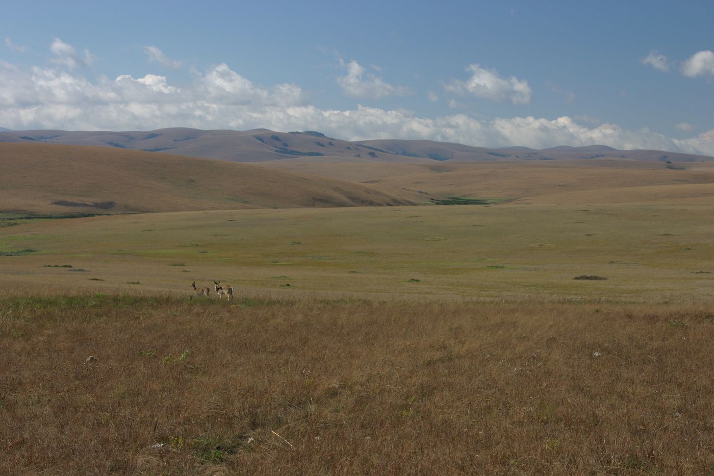
Nyika Plateau
Northern Malawi
Nyika National Park is Malawi’s largest national park, with an area of 3200 km2.
Did you know?
Rolling montane grasslands rich in orchids and roaming antelope.
 Wetlands
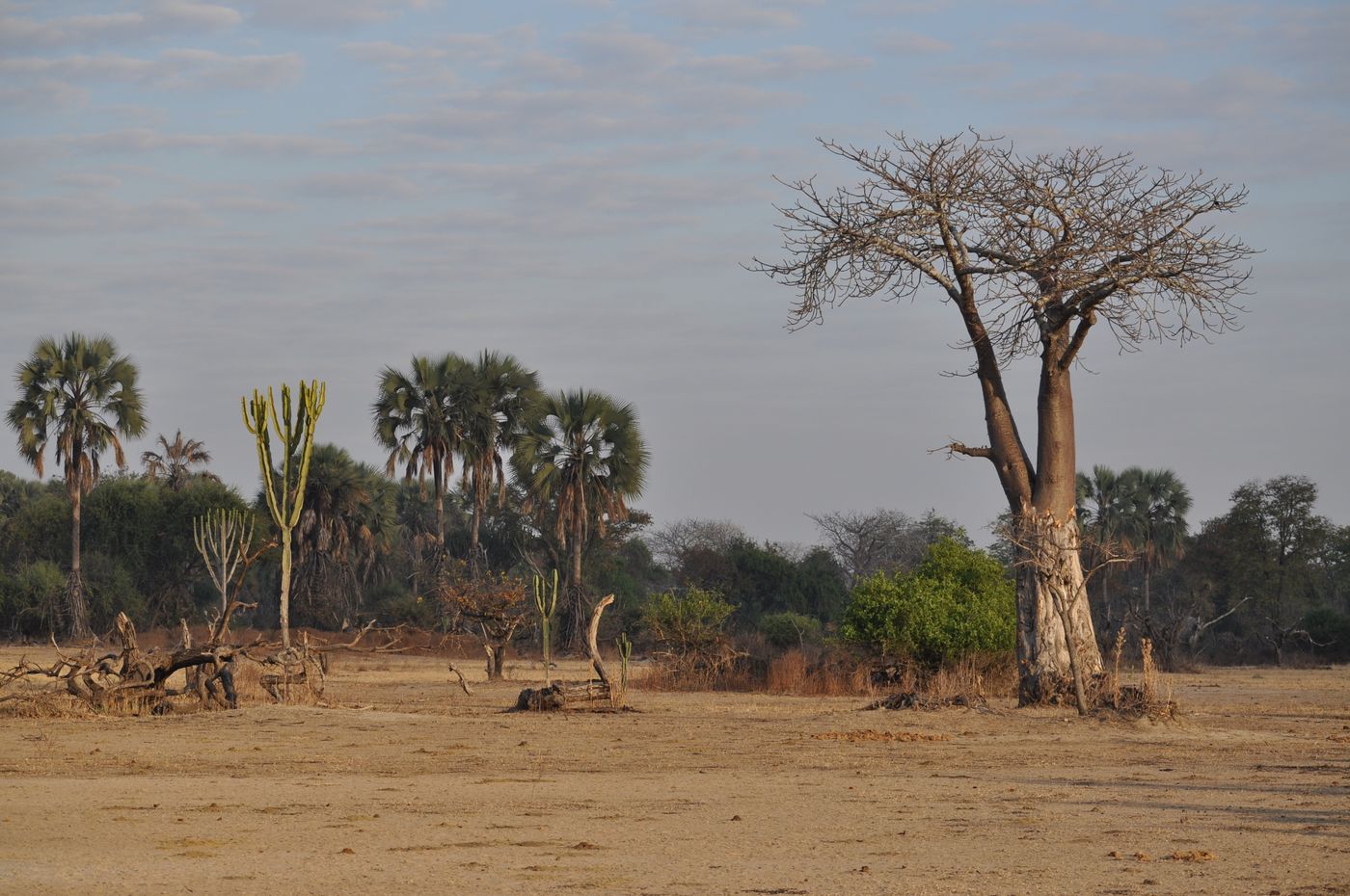
Liwonde
Southern Malawi
Liwonde National Park, also known as Liwonde Wildlife Reserve, is a national park in southern Malawi, near the Mozambique border. The park was established in 1973, and has been managed by the nonprofit conservation organization African Parks since August 2015.
Did you know?
A riverine park along the Shire River, restored into a wildlife haven.
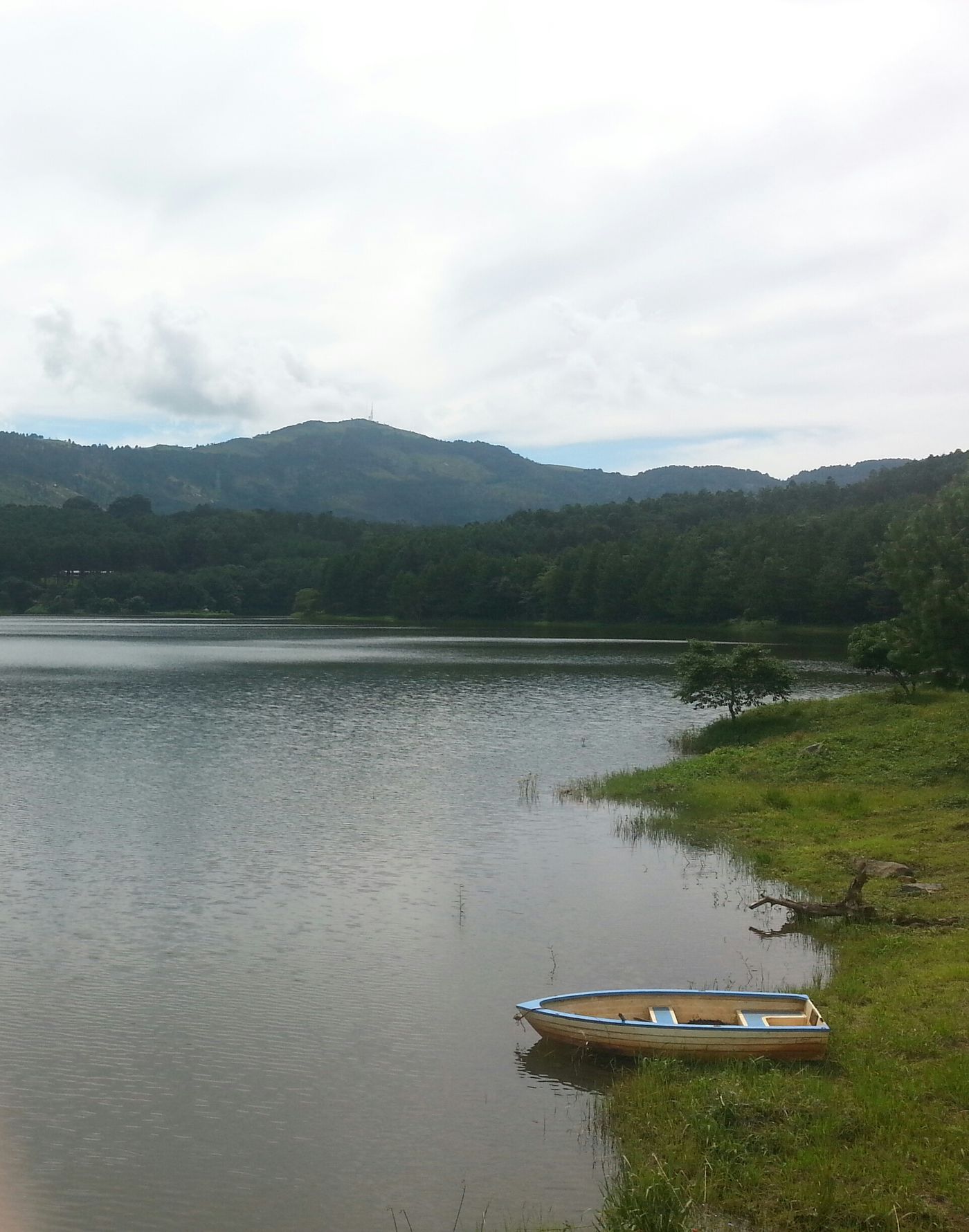 Mountains
Zomba Plateau
Southern Malawi
The Zomba Plateau, also called the Zomba Massif, is a mountain of the Shire Highlands in southern Malawi. Its total area is about 130 square kilometres (50 sq mi), with a highest point of 2,087 metres (6,847 ft).
Did you know?
A forested tableland of waterfalls and viewpoints above Zomba city.