Western Africa
Mauritania
The top 5 natural landmarks of Mauritania — real photos, locations and fascinating facts for every wonder.
 Africa
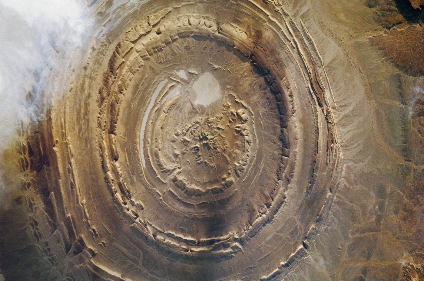 Rocks
Richat Structure
Adrar
The Richat Structure, or Guelb er Richât (Arabic: قلب الريشات, romanized: Qalb ar-Rīšāt, Hassaniyya: [galb er.riːʃaːt] ), often called the Eye of Africa is a prominent circular geological feature at the northwestern edge of the Taoudeni Basin, on the Adrar Plateau of the Sahara.
Did you know?
The Eye of the Sahara, a giant bullseye of rings visible from space.
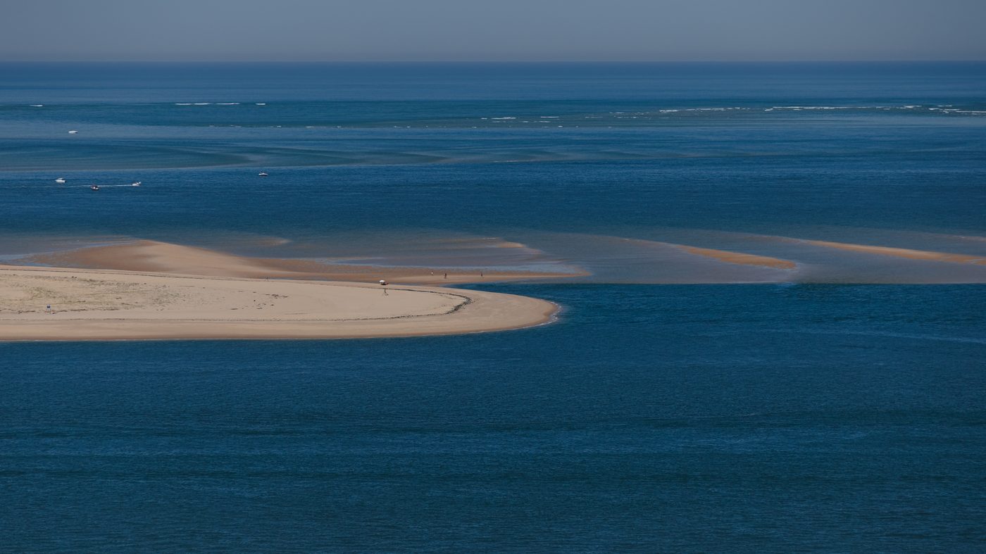 Wetlands
Banc d'Arguin
Western Mauritania
The Banc d'Arguin National Park (Arabic: حوض أركين, romanized: Ḥawḍ ʾArkīn, French: Parc national du Banc d'Arguin) of Bay of Arguin lies in Western Africa on the west coast of Mauritania between Nouakchott and Nouadhibou and is the former mouth of the Tamanrasset River.
Did you know?
Shallow coastal flats hosting millions of migratory shorebirds.
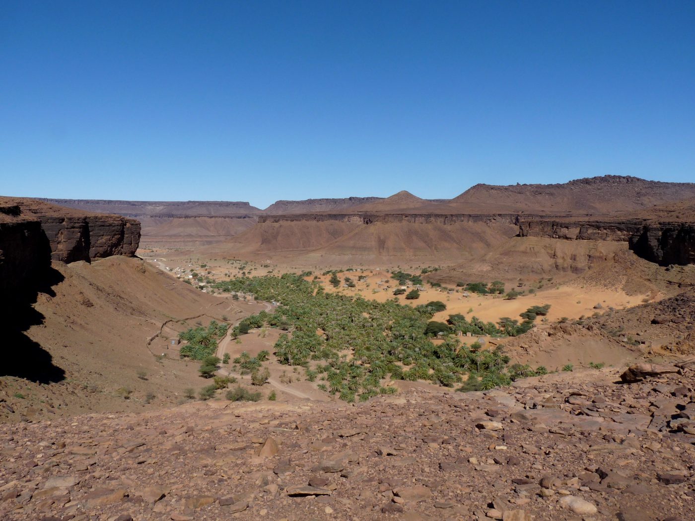 Rivers
Terjit Oasis
Adrar
Terjit (Arabic: ترجيت) is an oasis (in the proper sense: a desert spring or other water source), 45km by road south of Atar and popular with tourists in Mauritania.
Did you know?
A palm-filled gorge where springs gush from desert cliffs.
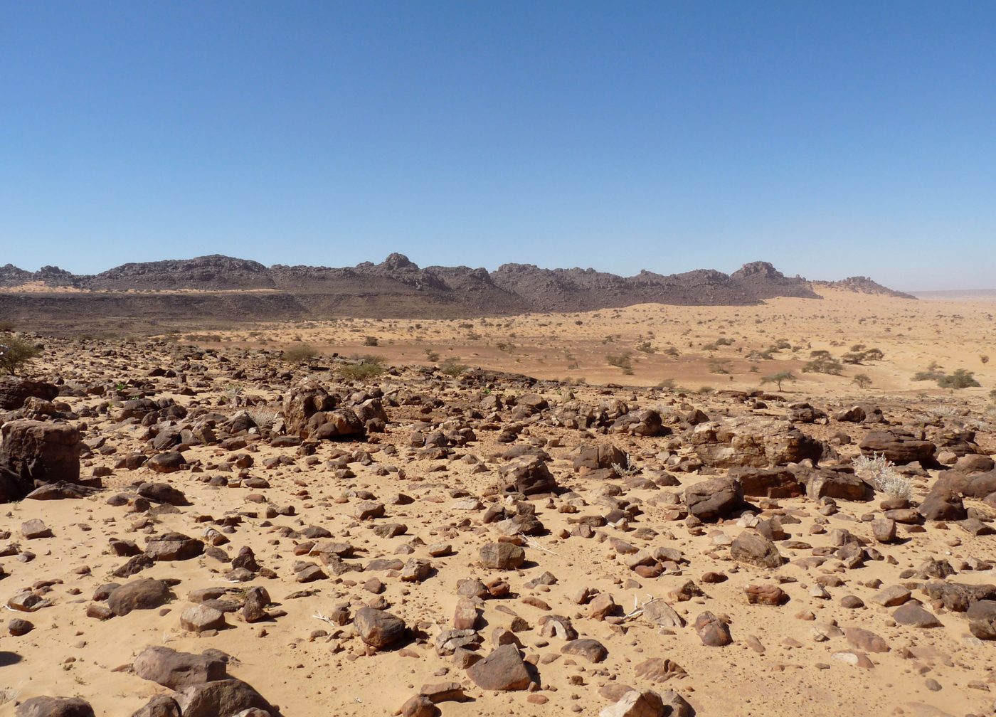 Deserts
Adrar Plateau
Northern Mauritania
The Adrar (Arabic: هضبة آدرار, Berber for "mountain") is a highland natural and historical region of the Sahara Desert in northern Mauritania. The Adrar Region, an administrative division of Mauritania, is named after the traditional region.
Did you know?
A sandstone plateau of dunes, canyons and ancient caravan towns.
 Rocks
Tagant Plateau
Central Mauritania
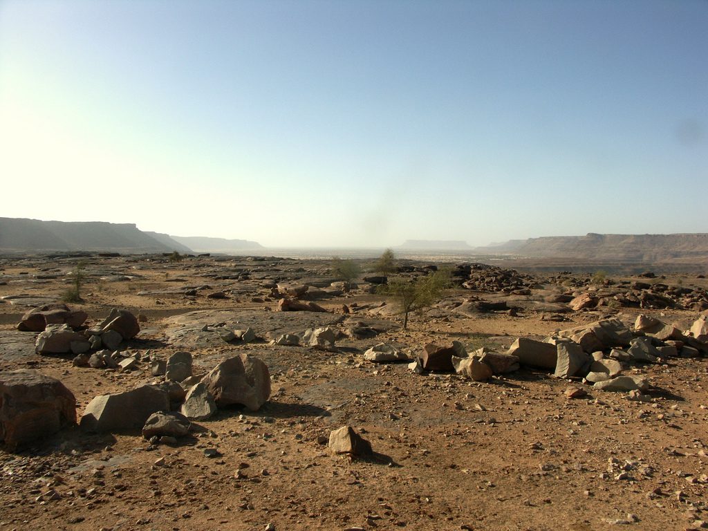
The Tagant Plateau is located in eastern Mauritania, forming a stony part of the Sahara Desert. The Tagant Region, a national administrative division, is named after the plateau.
Did you know?
A rugged escarpment broken by gorges and seasonal pools.