Eastern Africa
Mozambique
The top 5 natural landmarks of Mozambique — real photos, locations and fascinating facts for every wonder.
 Africa
 Islands
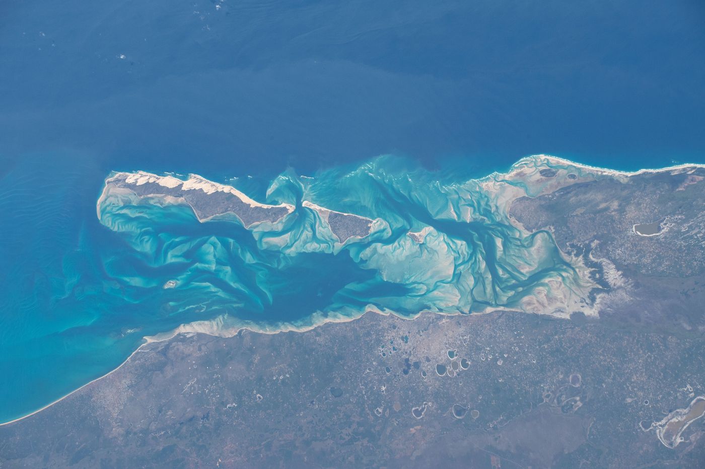
Bazaruto Archipelago
Inhambane
The Bazaruto Archipelago is a group of six islands in Mozambique, near the mainland city of Vilankulo. It comprises the islands of Bazaruto, Benguerra, Magaruque, Santa Carolina and Bangué.
Did you know?
Dune-covered islands in a marine park sheltering rare dugongs.
 Coral Reefs
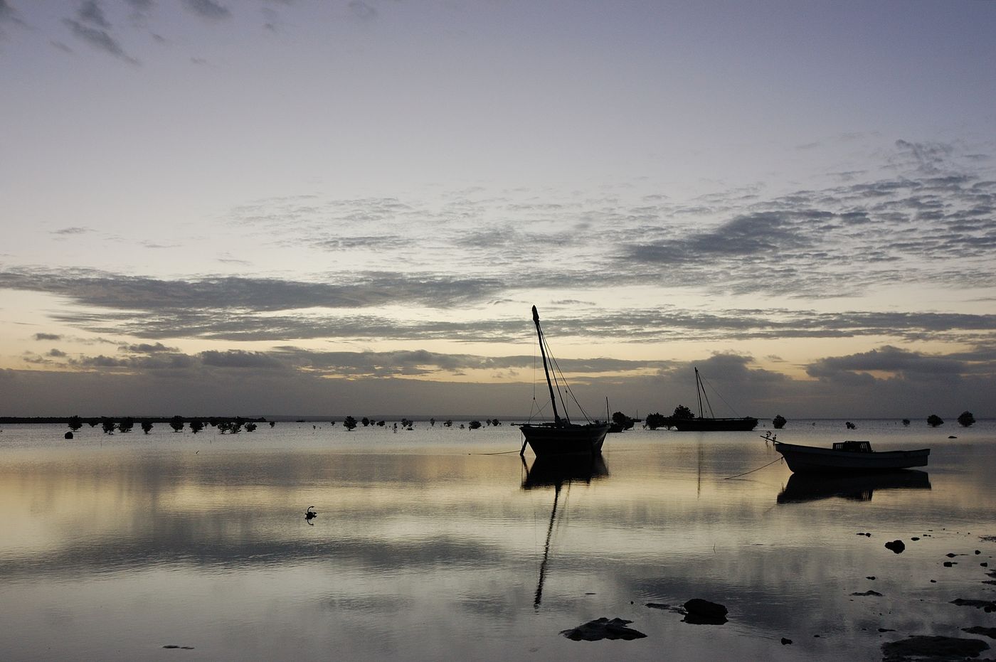
Quirimbas
Cabo Delgado
The Quirimbas Islands lie in the western Indian Ocean off northeastern Mozambique in the Mozambique Channel, close to Pemba, the capital of the province of Cabo Delgado. The archipelago consists of about 32 islands, including Ibo, Matemo, Medjumbe, Quirimba, Metundo, Quisiva, Vamizi Island and Rolas Island extending north toward the border with Tanzania's Mtwara region.
Did you know?
A chain of coral islands with pristine reefs in northern Mozambique.
 Grasslands
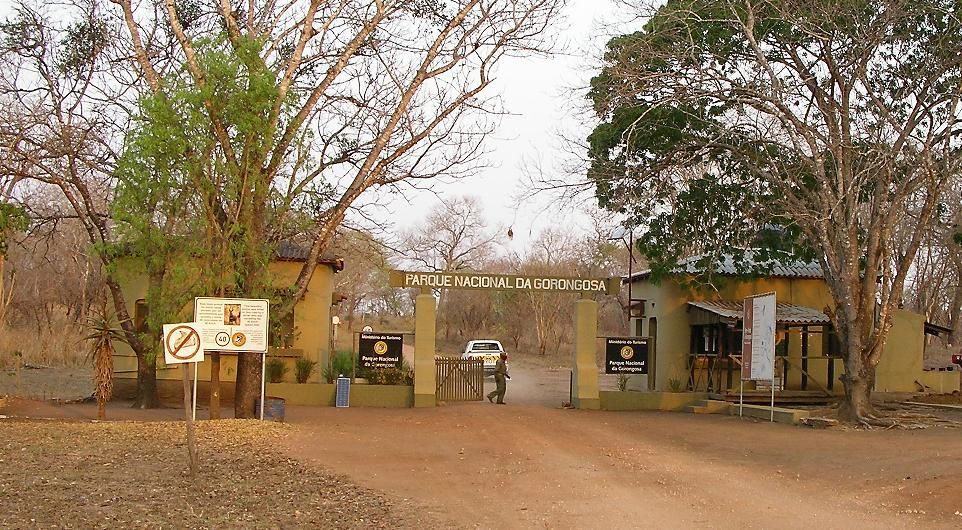
Gorongosa
Sofala
Gorongosa National Park is at the southern end of the Great African Rift Valley in the heart of central Mozambique, Southeast Africa. The more than 4,000 km2 (1,500 sq mi) park comprises the valley floor and parts of surrounding plateaus.
Did you know?
A celebrated rewilding success at the tip of the Great Rift Valley.
 Grasslands
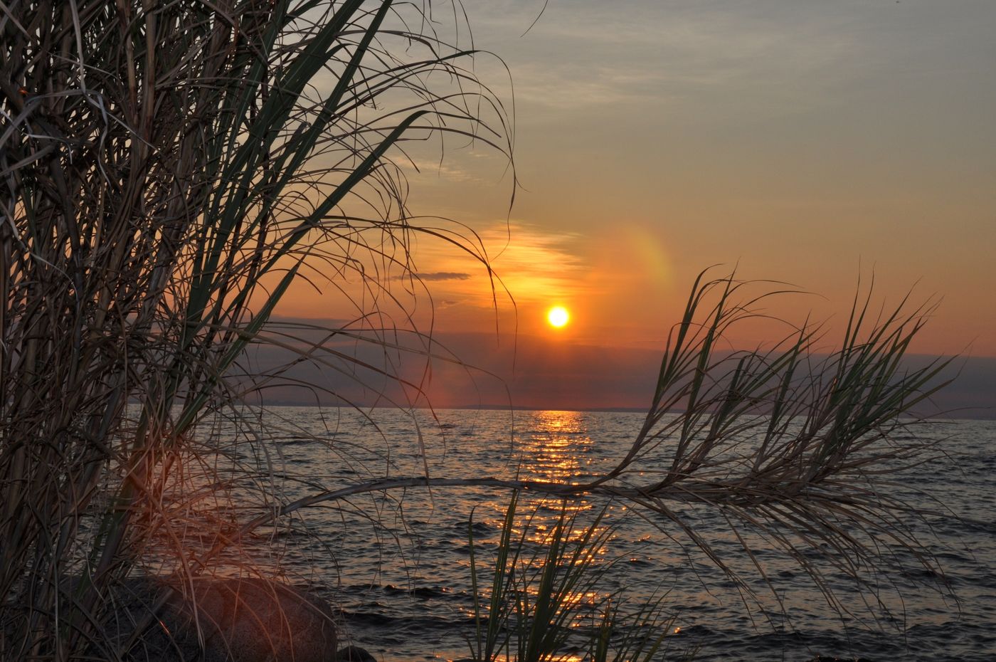
Niassa Reserve
Niassa
Niassa Reserve is a nature reserve in Cabo Delgado Province and Niassa Province, Mozambique. Covering over 42,000 square kilometres, it is the largest protected area in the country.
Did you know?
Mozambique's largest protected area, a vast remote wilderness.
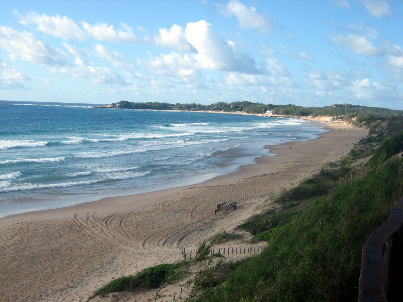 Coasts
Tofo Beach
Inhambane
Tofo Beach or simply Tofo is a small town in southeastern Mozambique. The town lies on the Indian Ocean coast, on Barra Beach peninsula in Inhambane Province, Jangamo District, 22 km drive from Inhambane city.
Did you know?
A coastal village famed for diving with whale sharks and manta rays.