South-Eastern Asia
Myanmar
The top 5 natural landmarks of Myanmar — real photos, locations and fascinating facts for every wonder.
 Asia
 Lakes
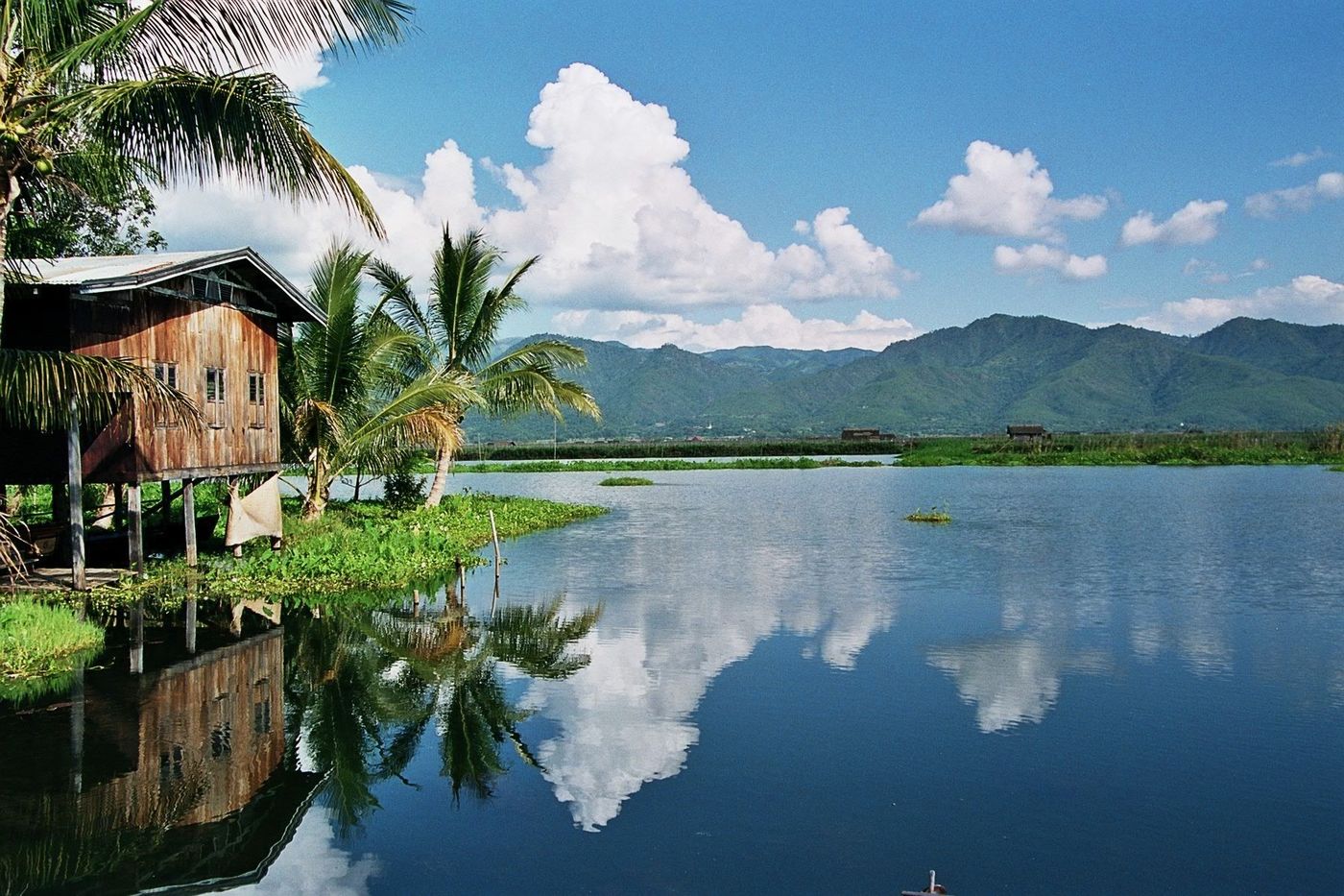
Inle Lake
Shan State
Inle Lake is a freshwater lake located in the Nyaungshwe Township of Shan State, part of Shan Hills in Myanmar (Burma). It is the second largest lake in Myanmar, with an estimated surface area of 44.9 square miles (116 km2), and one of the country's highest, at an elevation of 2,900 feet (880 m).
Did you know?
A highland lake famed for leg-rowing fishermen and floating gardens.
 Mountains
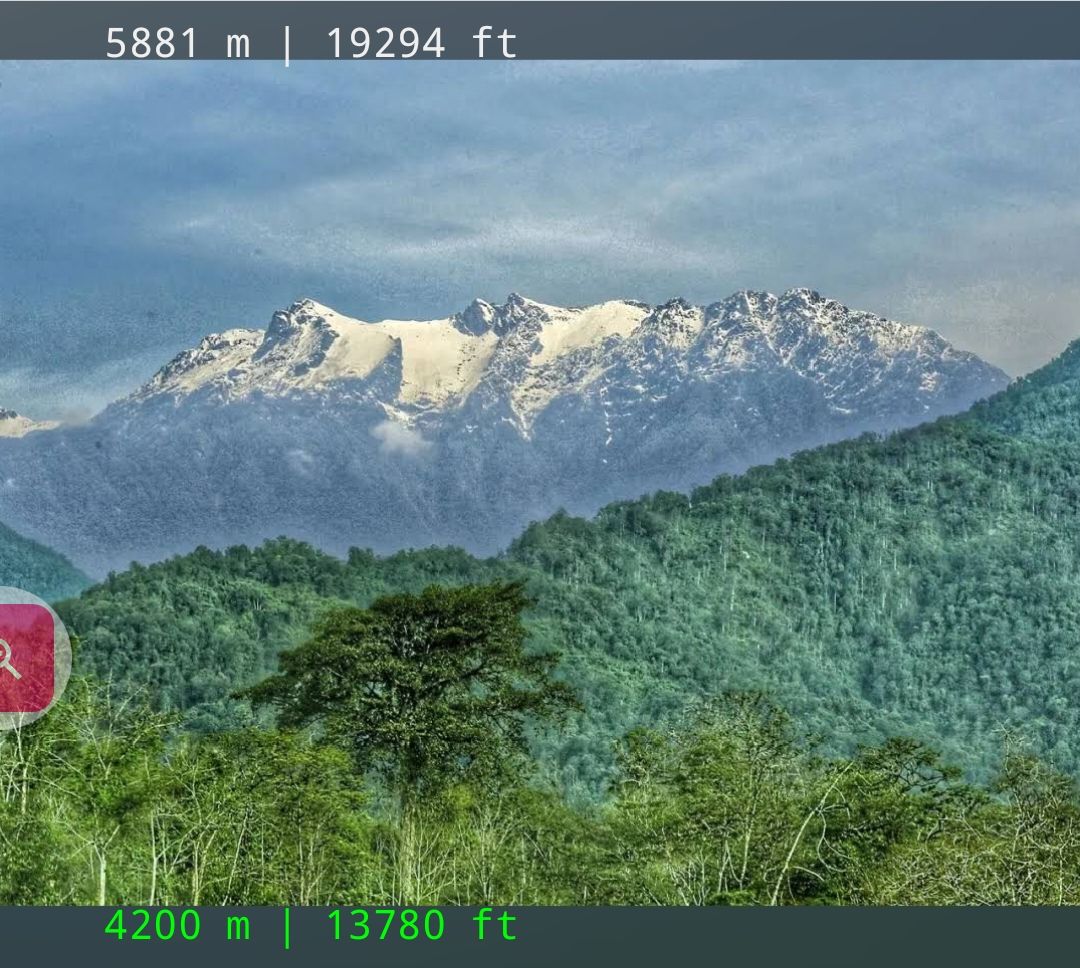
Hkakabo Razi
Kachin State
Hkakabo Razi is believed to be Myanmar's highest mountain. The 19,295-foot (5,881 m)-tall mountain is the highest mountain in Southeast Asia as well.
Did you know?
Southeast Asia's highest peak, on the eastern edge of the Himalayas.
 Coasts
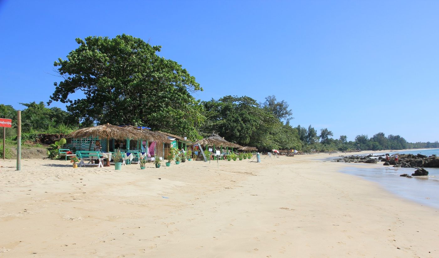
Ngapali Beach
Rakhine State
Ngapali Beach is a coastal beach located in Rakhine State, western Myanmar, approximately 7 kilometers from the town of Thandwe. It is considered Myanmar’s premier beach destination.
Did you know?
Myanmar's premier palm-lined white-sand beach on the Bay of Bengal.
 Islands
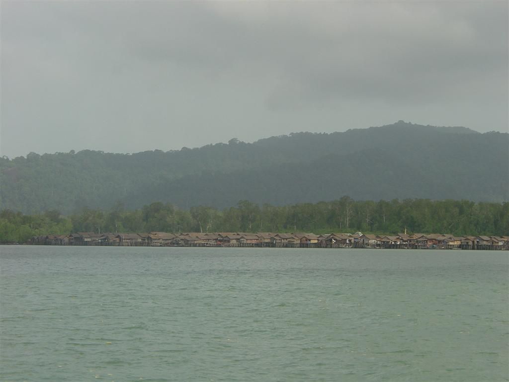
Mergui Archipelago
Tanintharyi
The Mergui Archipelago is located in far southern Myanmar (Burma) and is part of the Tanintharyi Region. It consists of around 800 islands, varying in size from very small to hundreds of square kilometres, all lying in the Andaman Sea off the western shore of the Malay Peninsula near its landward (northern) end where it joins the rest of Indochina.
Did you know?
Hundreds of near-untouched islands home to the sea-faring Moken.
 Volcanoes
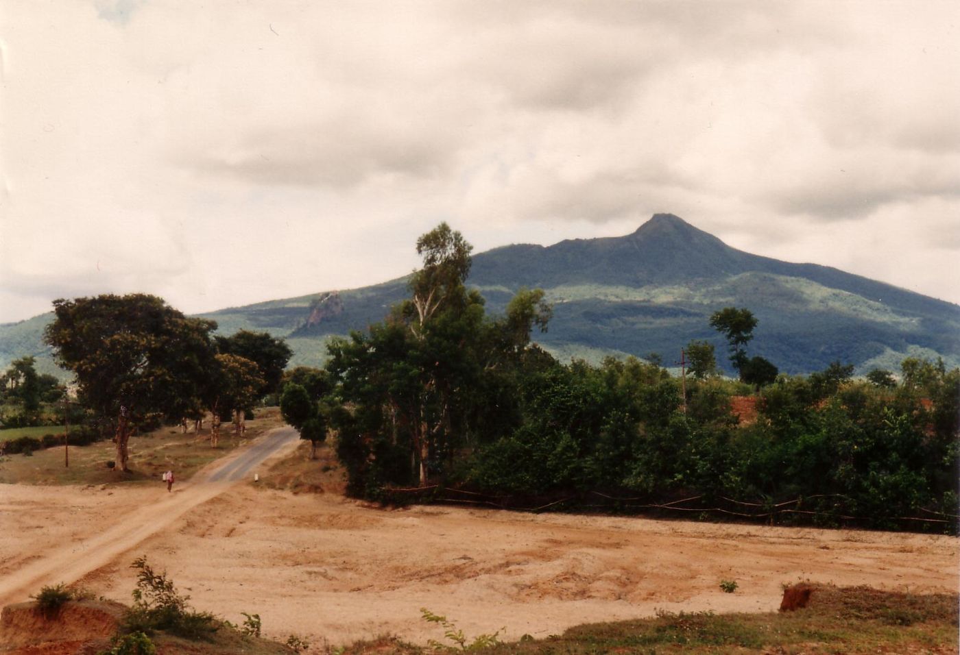
Mount Popa
Mandalay Region
Mount Popa is a dormant volcano 1518 metres (4981 feet) above sea level, and located in central Myanmar in the region of Mandalay about 50 km (31 mi) southeast of Bagan (Pagan) in the Pegu Range. It can be seen from the Ayeyarwady (Irrawaddy) River as far away as 60 km (37 mi) in clear weather.
Did you know?
An extinct volcano beside a dramatic rock pinnacle of shrines.