Western Africa
Mali
The top 5 natural landmarks of Mali — real photos, locations and fascinating facts for every wonder.
 Africa
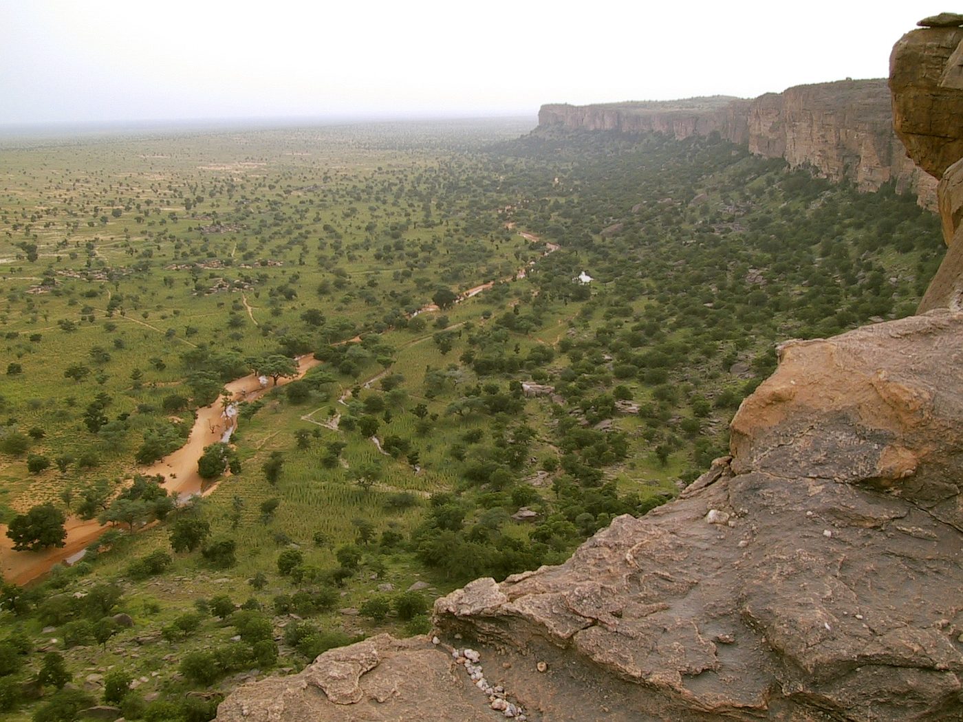 Rocks
Bandiagara Escarpment
Mopti
The Bandiagara Escarpment (Arabic: منحدرات باندياغارا الصخرية, French: falaise de Bandiagara) is a sandstone cliff in the Dogon country of Mali. It rises about 500 m (1,600 ft) above the lower sandy flats to the south, and has a length of approximately 150 km (90 mi).
Did you know?
A towering 150 km sandstone cliff dotted with cliff villages.
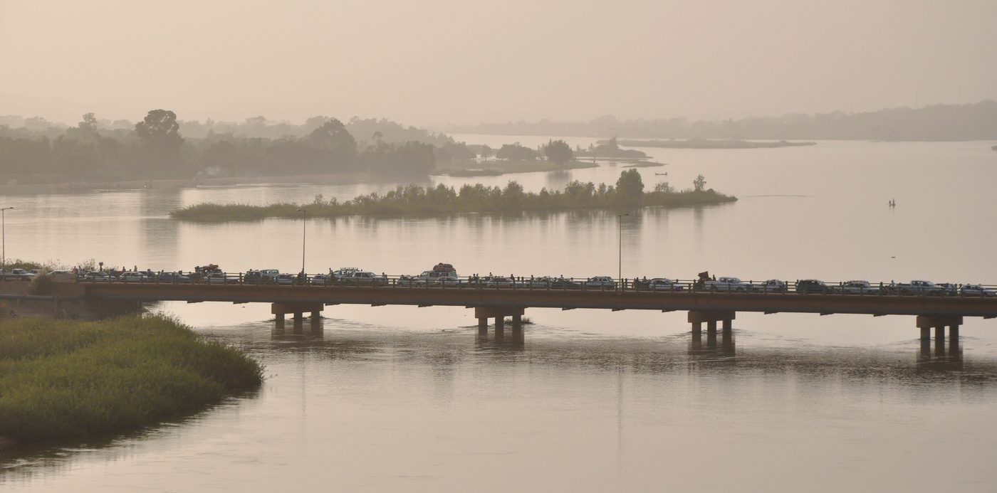 Rivers
Niger River
Central Mali
The Niger River ( NY-jər; French: (le) fleuve Niger [(lə) flœv niʒɛʁ]) is the main river of West Africa, extending about 4,180 kilometres (2,600 miles). Its drainage basin is 2,117,700 km2 (817,600 sq mi) in area.
Did you know?
The lifeline of Mali, sweeping in a great curve through the desert.
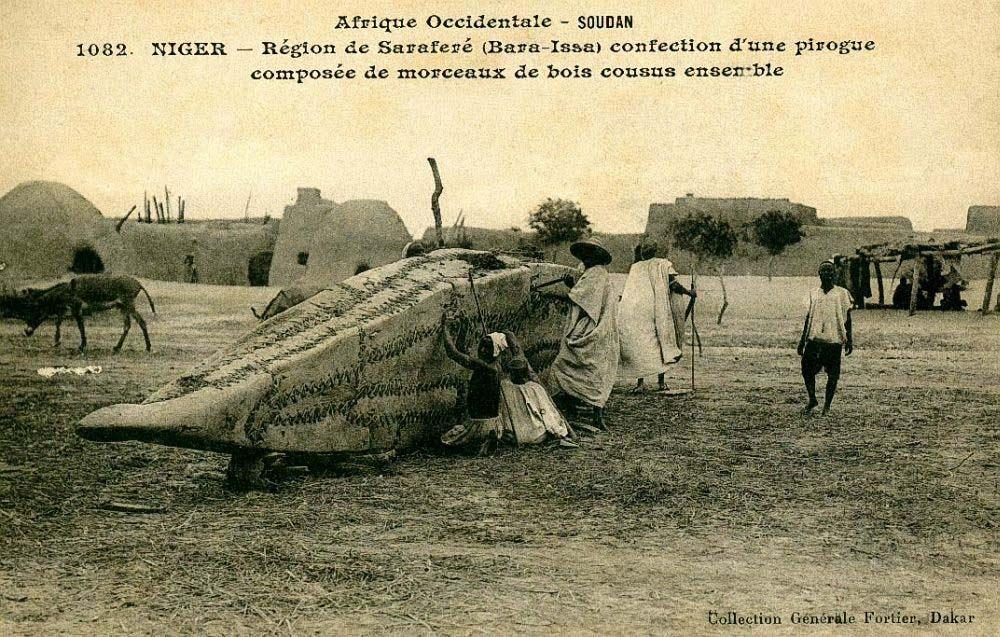 Wetlands
Inner Niger Delta
Mopti
The Inner Niger Delta, also known as the Macina or Masina, is the inland river delta of the Niger River. It is an area of fluvial wetlands, lakes and floodplains in the semi-arid Sahel area of central Mali, just south of the Sahara Desert.
Did you know?
A vast seasonal floodplain, an oasis for fish and millions of birds.
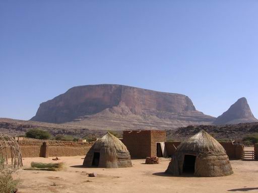 Mountains
Hombori Tondo
Mopti
Mali's highest peak, a sheer sandstone mesa above the Sahel.
Did you know?
Mali's highest peak, a sheer sandstone mesa above the Sahel.
 Lakes
Lake Débo
Mopti
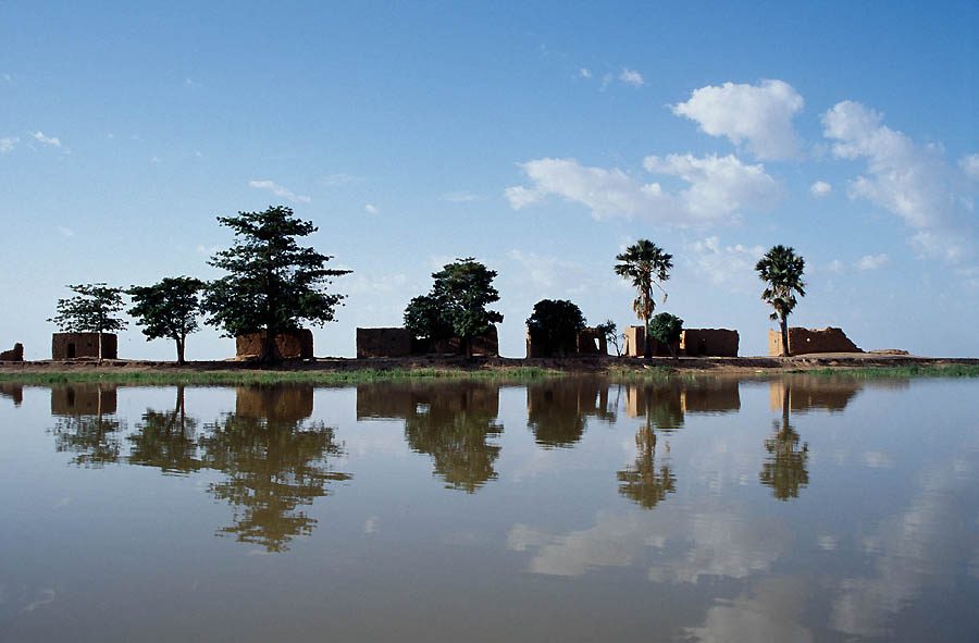
Lake Débo is a lake in the central part of Mali, formed by the seasonal flooding of the Niger River basin. It is in the Inner Niger Delta of the Niger River. During high water stages of the river, the delta formed by lakes, creeks, and backwaters form part of Lake Débo.
Did you know?
A wide lake within the Niger's floodplain, teeming with waterbirds.