South-Eastern Asia
Cambodia
The top 5 natural landmarks of Cambodia — real photos, locations and fascinating facts for every wonder.
 Asia
 Lakes
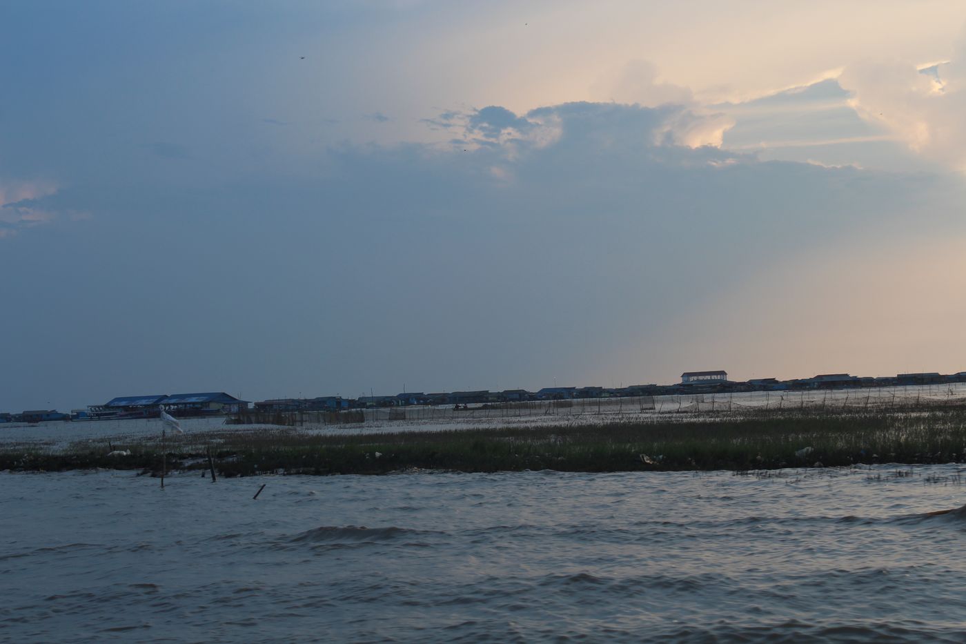
Tonlé Sap
Central Cambodia
Tonle Sap is a lake in central Cambodia. Belonging to the Mekong river system, Tonle Sap is the largest freshwater lake in Southeast Asia and one of the most diverse and productive ecosystems in the world.
Did you know?
A lake that reverses its flow each year, swelling into Southeast Asia's largest.
 Forests
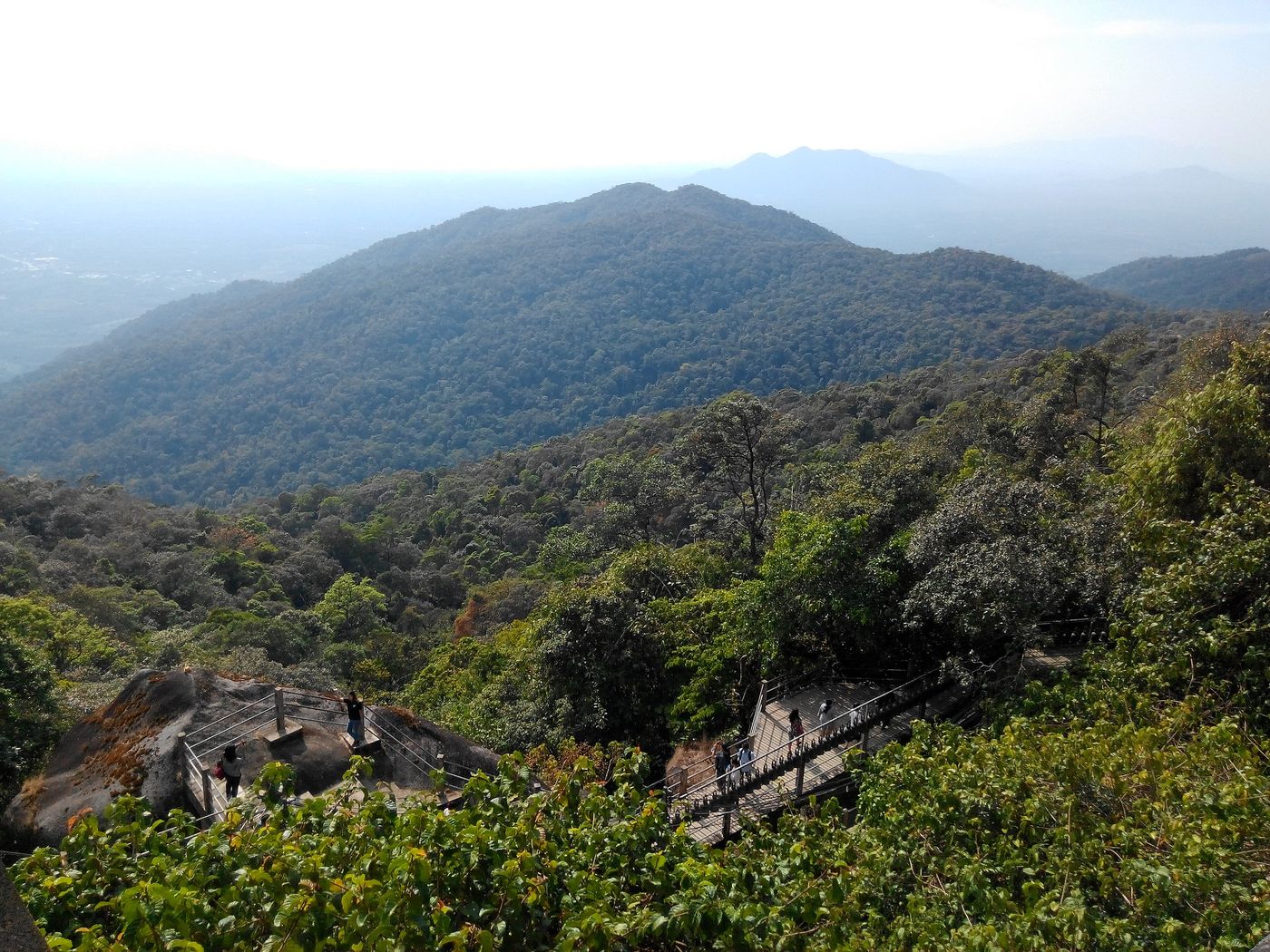
Cardamom Mountains
Southwest Cambodia
The Cardamom, Phnom Kravanh or Banthat Mountains is a mountain range in the southwest part of Cambodia and Eastern Thailand. The range's silhouette appears in the provincial seal of Trat Province in Thailand.
Did you know?
One of the region's largest intact rainforest wildernesses.
 Islands
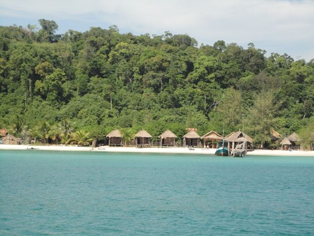
Koh Rong
Sihanoukville
Koh Rong is an island in Preah Sihanouk province, Cambodia. It is the second largest island of Cambodia and one of the islands within the Koh Rong Marine National Park.
Did you know?
A tropical island of white beaches and bioluminescent plankton.
 Mountains
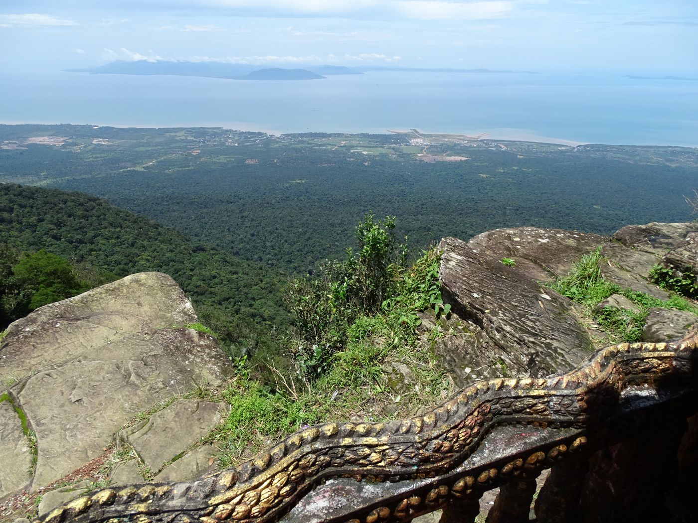
Bokor
Kampot
Preah Monivong Bokor National Park is a national park in Kampot Province in southern Cambodia. It was established in 1993 and covers 1,544.58 km2 (596.37 sq mi).
Did you know?
A cool, often misty plateau overlooking the Gulf of Thailand.
 Rivers
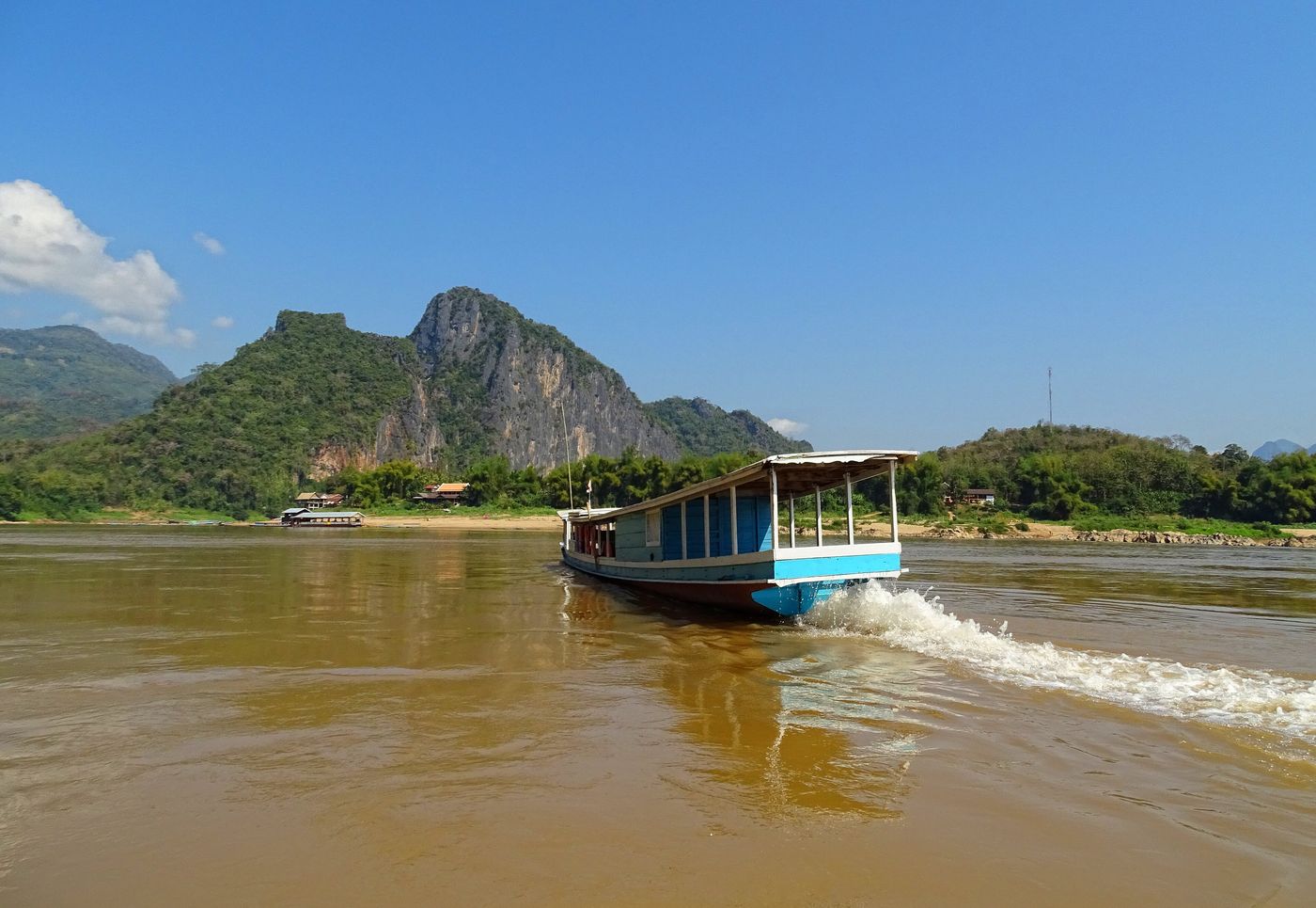
Mekong River
Northeast Cambodia
The Mekong or Mekong River is a transboundary river in East Asia and Southeast Asia. It is the world's twelfth-longest river and the third-longest in Asia with an estimated length of 4,909 km (3,050 mi) and a drainage area of 795,000 km2 (307,000 sq mi), discharging 475 km3 (114 cu mi) of water annually.
Did you know?
A stretch of the great river sheltering rare Irrawaddy dolphins.