Eastern Africa
Kenya
The top 10 natural landmarks of Kenya — real photos, locations and fascinating facts for every wonder.
 Africa
 Grasslands
Maasai Mara
southwest Kenya
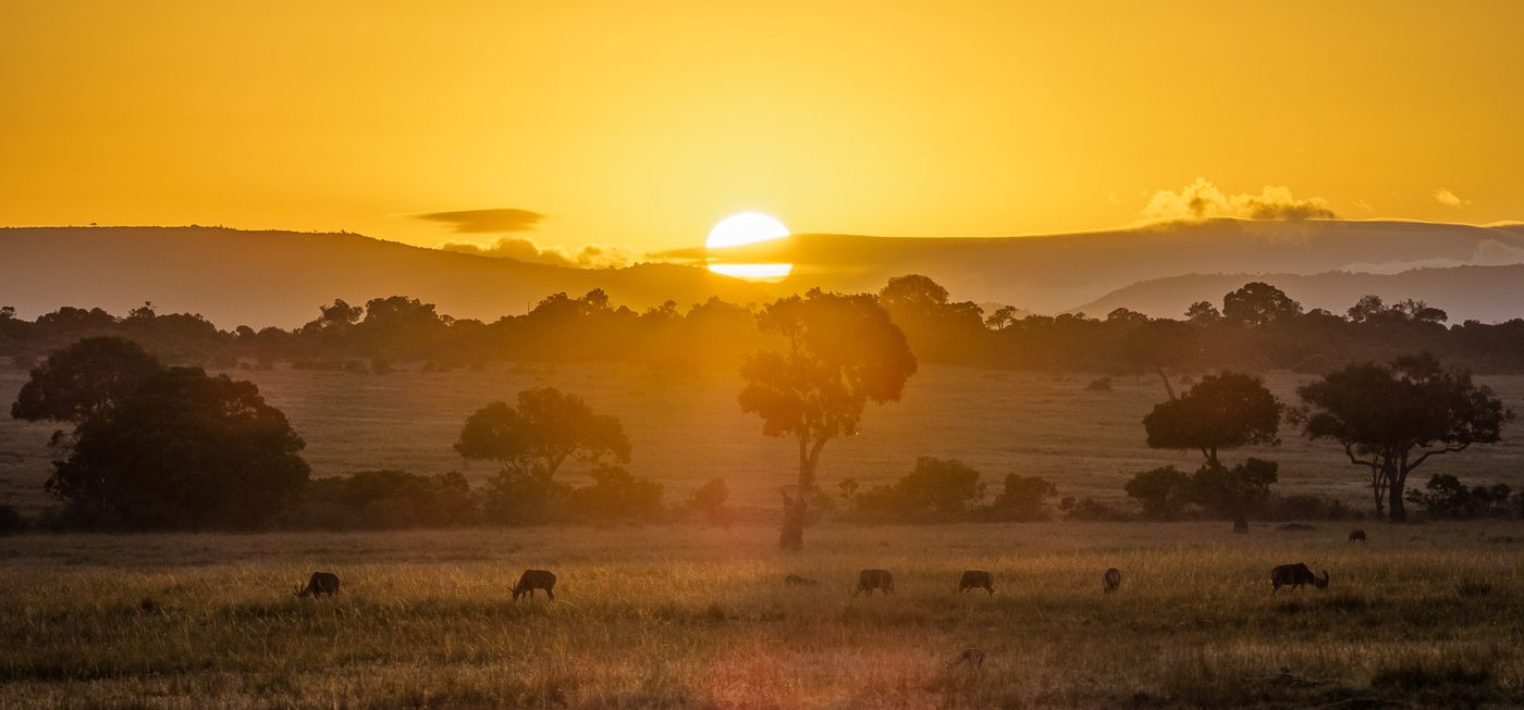
Maasai Mara, sometimes also spelt Masai Mara and locally known simply as the Mara, is a large national game reserve in Narok County, Kenya, contiguous with the Serengeti National Park in Tanzania. It is named in honour of the Maasai people, the ancestral inhabitants of the area, who migrated to the area from the Nile Basin.
Did you know?
Golden savanna famed for the Great Migration of wildebeest.
 Mountains
Mount Kenya
central Kenya
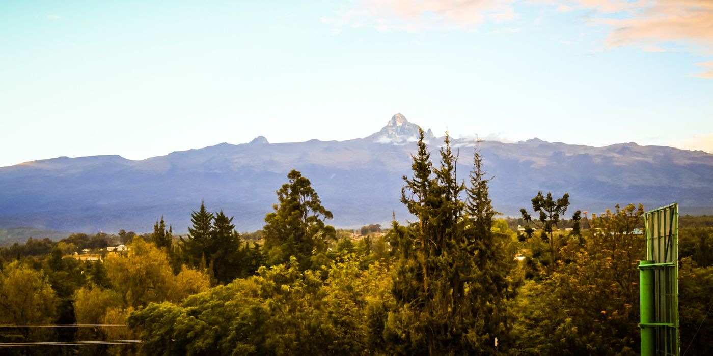
Mount Kenya is the second highest mountain in Africa and the namesake of the country Kenya. Located about 150 km north-northeast of the capital of Nairobi and just 16.5 kilometres south of the equator, the mountain's highest peaks are Batian, Nelion, and Point Lenana.
Did you know?
Africa's second-highest peak, a glacier-topped extinct volcano.
 Lakes
Lake Nakuru
Rift Valley
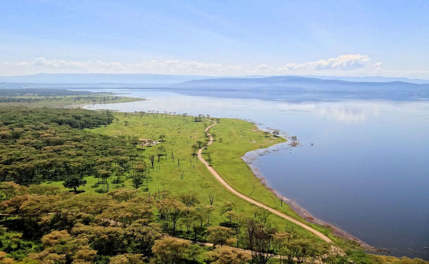
Lake Nakuru is one of the Rift Valley lakes, located at an elevation of 1,754 m (5,755 ft) above sea level. It lies to the south of Nakuru, in the rift valley of Kenya and is protected by Lake Nakuru National Park.
Did you know?
A shallow soda lake once fringed pink with millions of flamingos.
 Canyons
Great Rift Valley
across Kenya
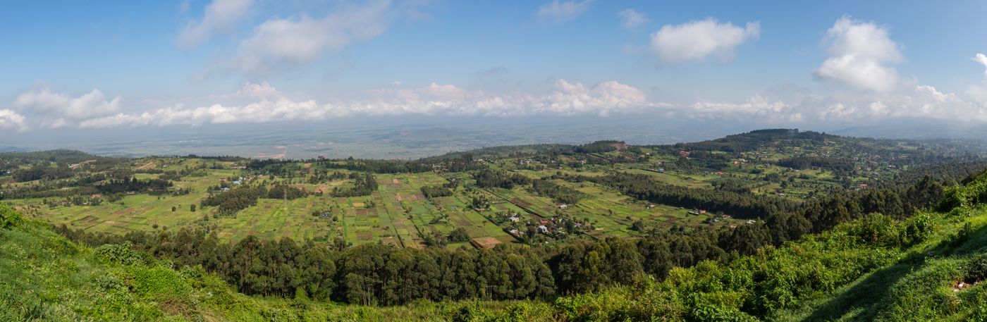
The Great Rift Valley (GRV) is a series of contiguous geographic depressions, approximately 6,500 kilometres (4,000 mi) in total length, which, in its original definition, runs from "the plains of northern Syria" in the north, through the Red Sea, to Mozambique in the south. The term remains in use in the fields of geography, zoology, ecology, paleontology and other disciplines, but it is now rarely used in geology where the term "Afro-Arabian Rift System" is preferred, which describes the series of geological structures that have given rise to the geographical feature.
Did you know?
A colossal geological trench slicing through East Africa.
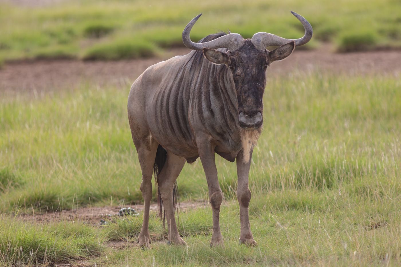 Grasslands
Amboseli
southern Kenya
Amboseli National Park, formerly Maasai Amboseli Game Reserve, is a national park in Loitoktok District in Kajiado County, Kenya. It measures 392 km2 (151 sq mi) in size at the core of an 8,000 km2 (3,100 sq mi) ecosystem that spreads across the Kenya-Tanzania border.
Did you know?
Elephant plains beneath the snows of Kilimanjaro.
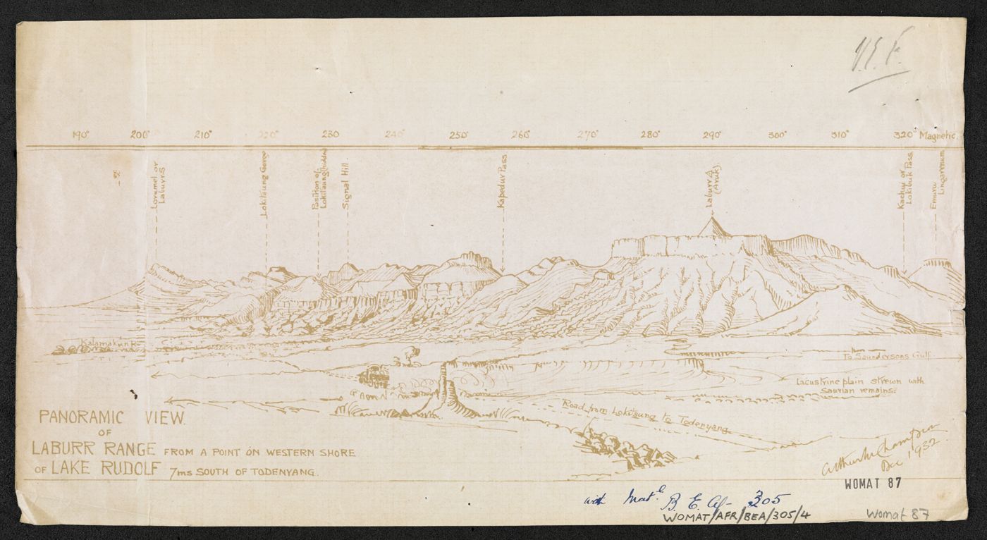 Lakes
Lake Turkana
northern Kenya
Lake Turkana is a saline lake in the Kenyan Rift Valley, predominantly in northern Kenya; the far northern end crosses into Ethiopia. It is the world's largest permanent desert lake and the world's largest alkaline lake.
Did you know?
The world's largest permanent desert lake, the 'Jade Sea'.
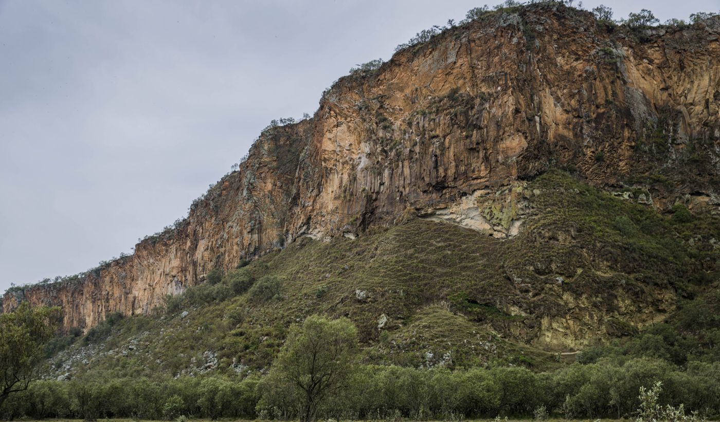 Geothermal
Hell's Gate
Rift Valley
Hell's Gate National Park is a national park situated near Lake Naivasha in Kenya. The park is named after a narrow break in the cliffs, once a tributary of a prehistoric lake that fed early humans in the Rift Valley.
Did you know?
Steam-venting cliffs and gorges you can explore on foot or by bike.
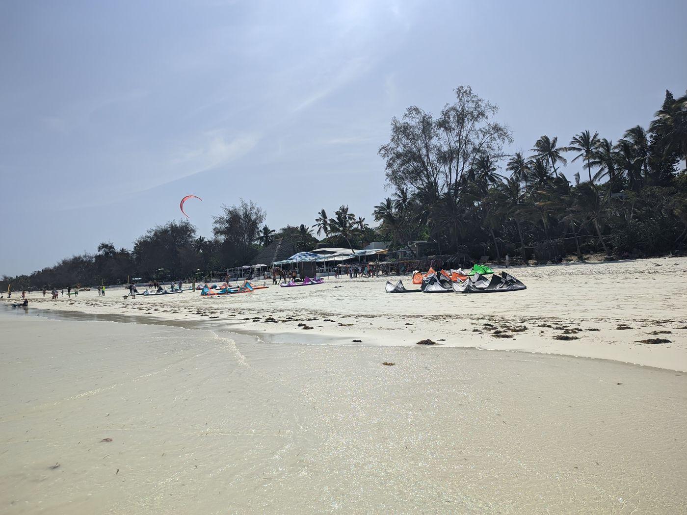 Coasts
Diani Beach
south coast
Diani Beach is a beach on the Indian Ocean coast of Kenya. It is located 30 kilometres (19 mi) south of Mombasa, in Kwale County.
Did you know?
A long stretch of white sand along the warm Indian Ocean.
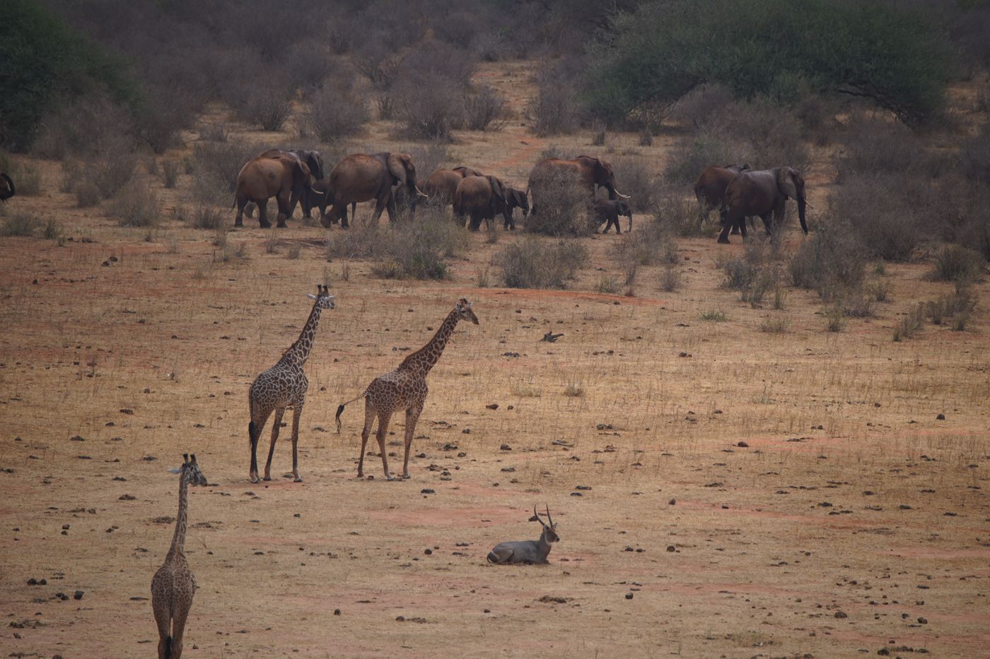 Grasslands
Tsavo East
southeast Kenya
Tsavo East National Park is a national park in Kenya with an area of 13,747 km2 (5,308 sq mi). Established in April 1948 covering a semi-arid area previously known as the Taru Desert.
Did you know?
One of the world's largest game reserves, land of red-dust elephants.
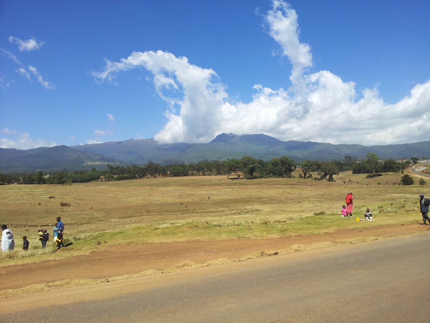 Mountains
Aberdare Range
central Kenya
The Aberdare Range is a 160 km (99 mi) long mountain range of upland, north of Kenya's capital Nairobi with an average elevation of 3,500 metres (11,480 ft). It straddles the counties of Nyandarua, Nyeri, Murang'a, Kiambu and Laikipia.
Did you know?
A high volcanic range of moorland, forest and waterfalls.