Central Asia
Kazakhstan
The top 10 natural landmarks of Kazakhstan — real photos, locations and fascinating facts for every wonder.
 Asia
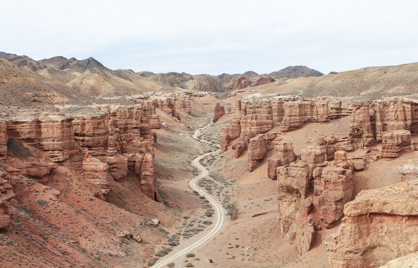 Canyons
Charyn Canyon
Almaty Region
Charyn Canyon, also known as the Sharyn Canyon is a canyon on the Charyn River in Kazakhstan. It is located about 200 km (120 mi) east of Almaty, close to the Kazakh–Chinese border.
Did you know?
A 150 m deep gorge often likened to a smaller Grand Canyon.
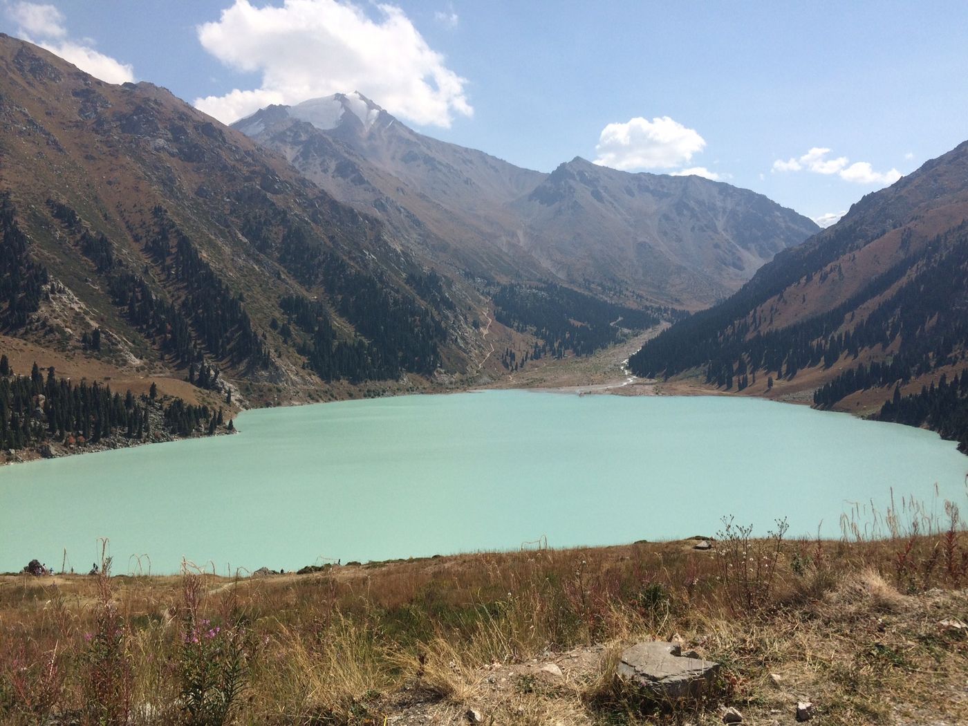 Lakes
Big Almaty Lake
Almaty Region
Big Almaty Lake is a natural alpine reservoir. It is located in the Trans-Ili Alatau mountains, 15 km south from the center of Almaty in Kazakhstan.
Did you know?
A turquoise alpine reservoir ringed by Tian Shan peaks.
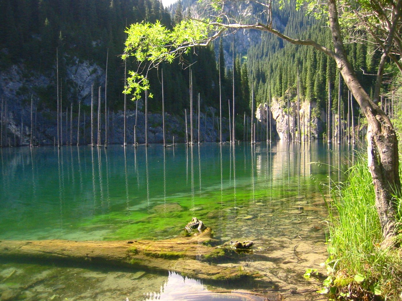 Lakes
Lake Kaindy
Almaty Region
Lake Kaindy is a 400-meter-long (1,300 ft) lake located in Kazakhstan. The lake reaches depths of nearly 30 meters (98 ft).
Did you know?
A lake with a sunken forest whose bare spruce trunks rise from the water.
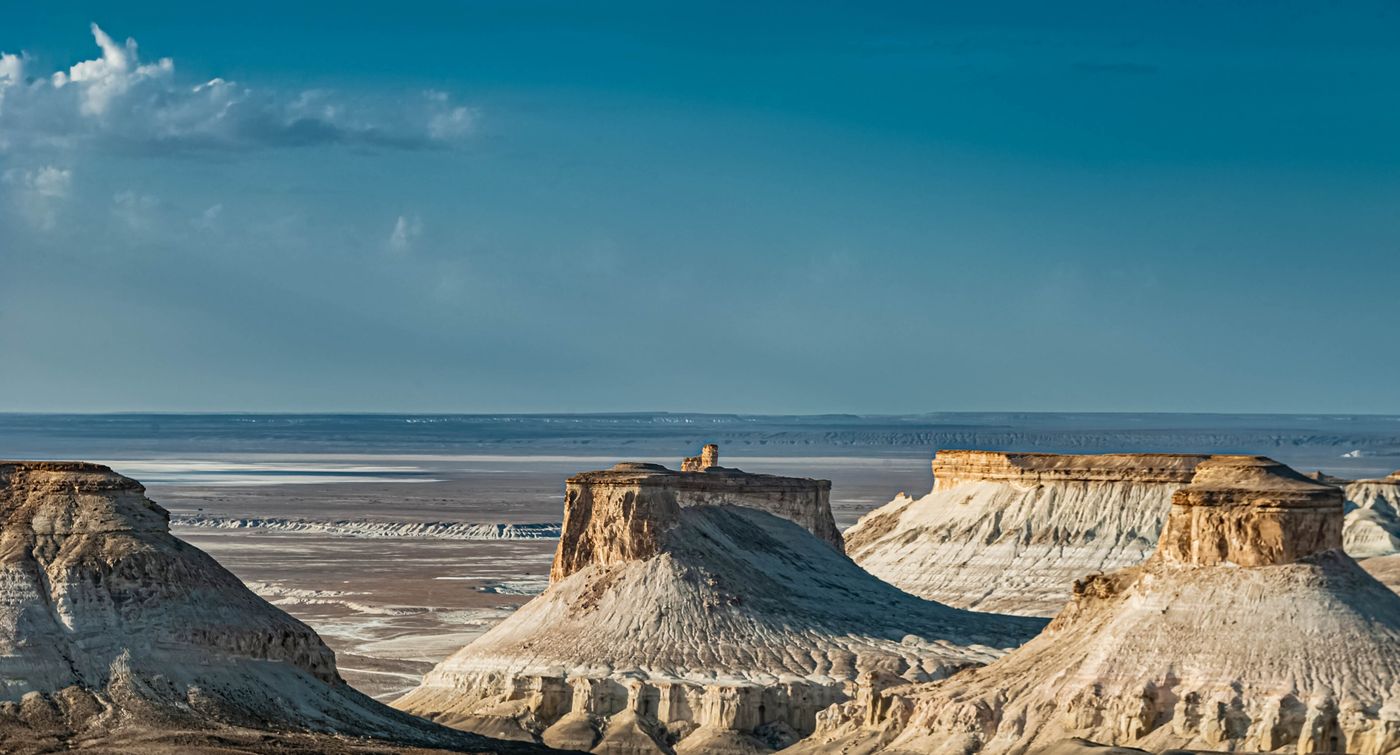 Deserts
Mangystau
Western Kazakhstan
Mangystau, formerly known as Mangyshlak from 1973 until 1988, is a region of Kazakhstan. Its capital is Aqtau, which has a population of 183,350 (2017); the entire Mangystau Province has a population of 745,909 (2022).
Did you know?
A surreal desert of chalk cliffs and otherworldly rock formations.
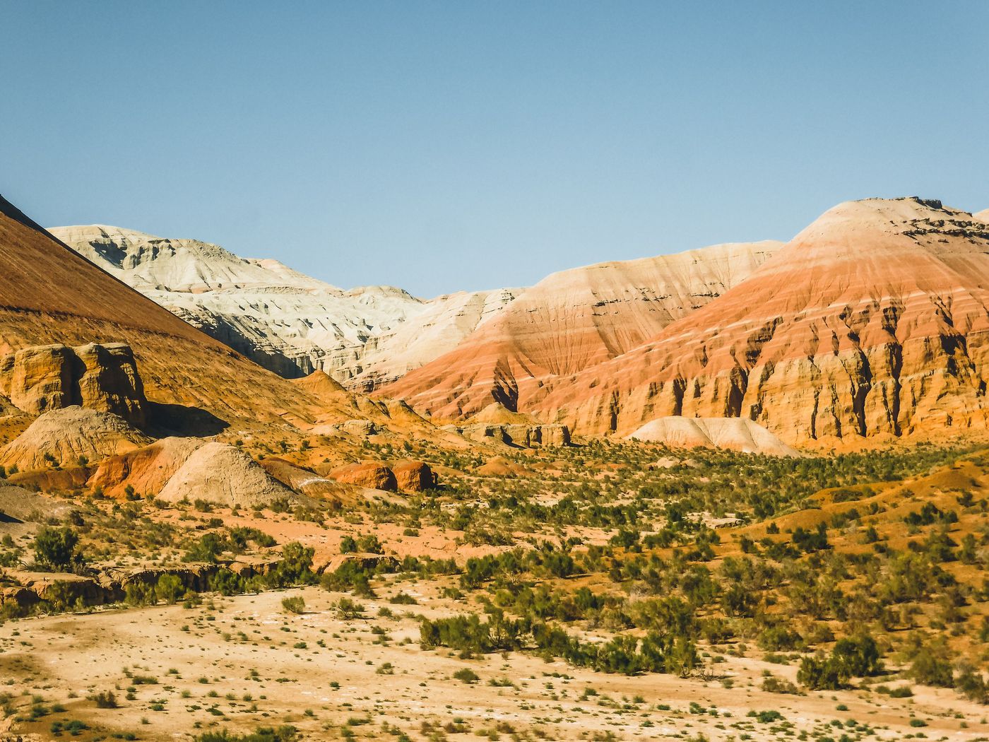 Deserts
Altyn-Emel
Almaty Region
The Altyn-Emel State National Nature Park is a national park in Kazakhstan. It was created in 1996.
Did you know?
Home to the Singing Dune that hums in the wind.
 Mountains
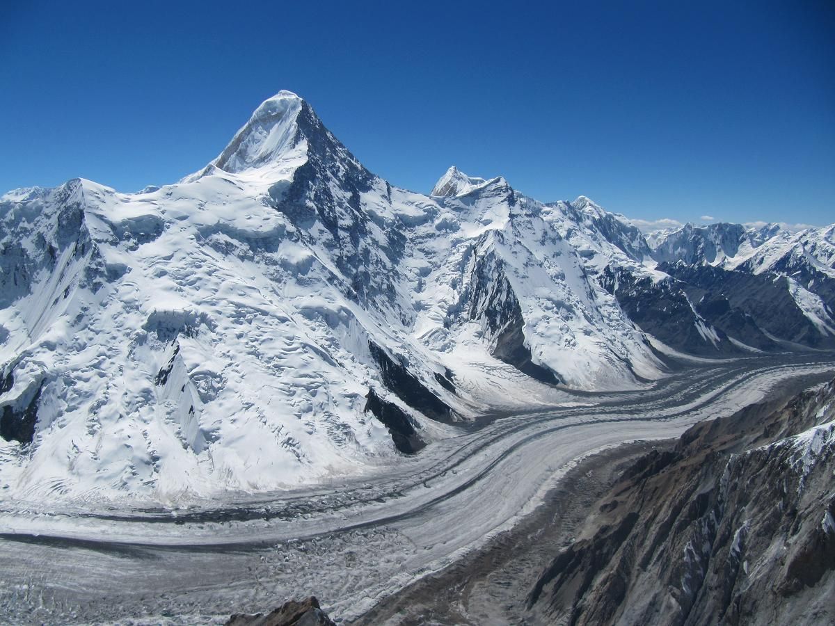
Khan Tengri
Tian Shan
Khan Tengri is a mountain of the Tian Shan mountain range in Central Asia. It is on the China—Kyrgyzstan—Kazakhstan tripoint, east of lake Issyk Kul in Kyrgyzstan.
Did you know?
A pyramid-shaped peak that glows marble-red at sunset.
 Lakes
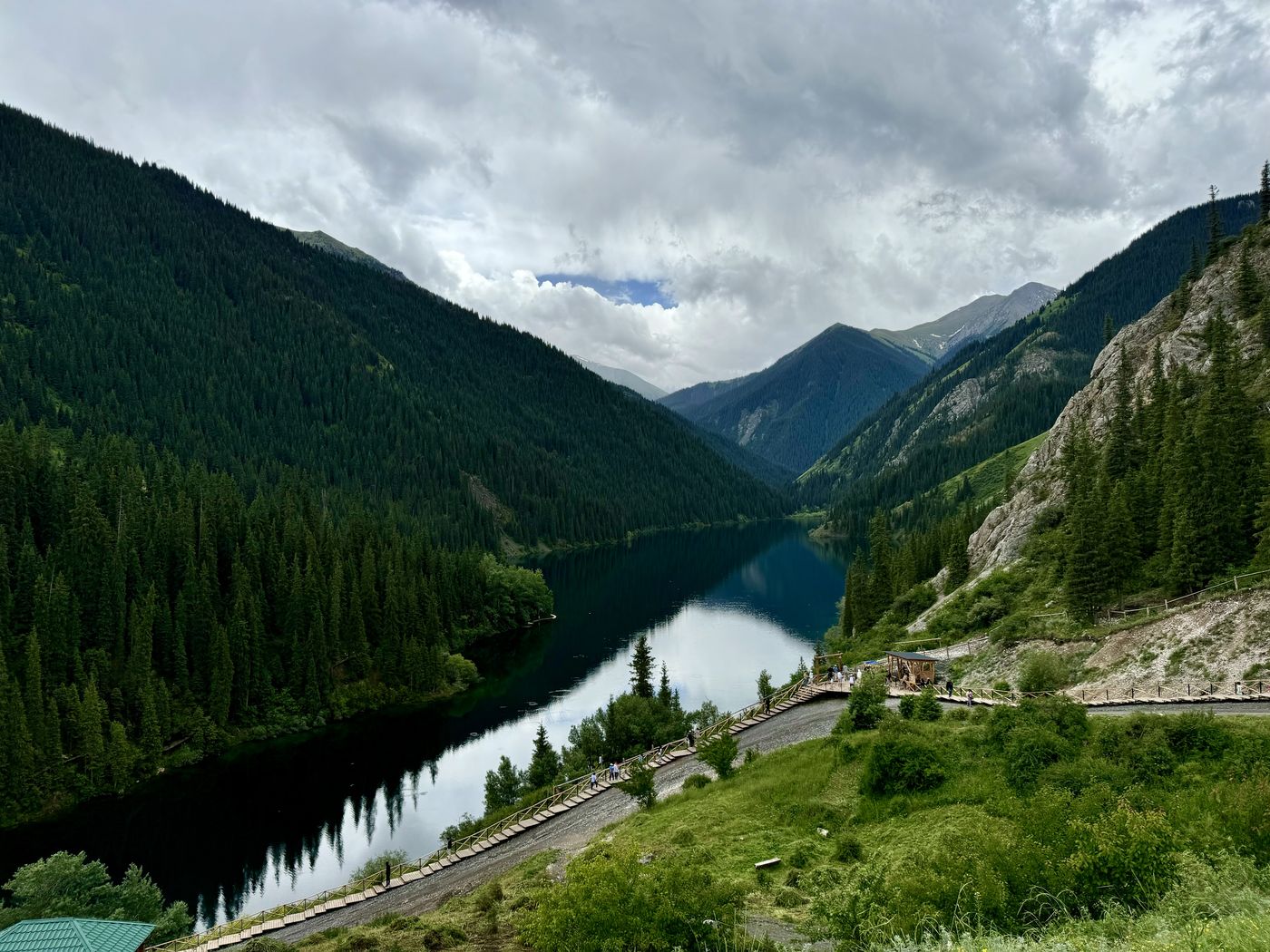
Kolsai Lakes
Almaty Region
Three alpine lakes strung through spruce-forested mountains.
Did you know?
Three alpine lakes strung through spruce-forested mountains.
 Lakes
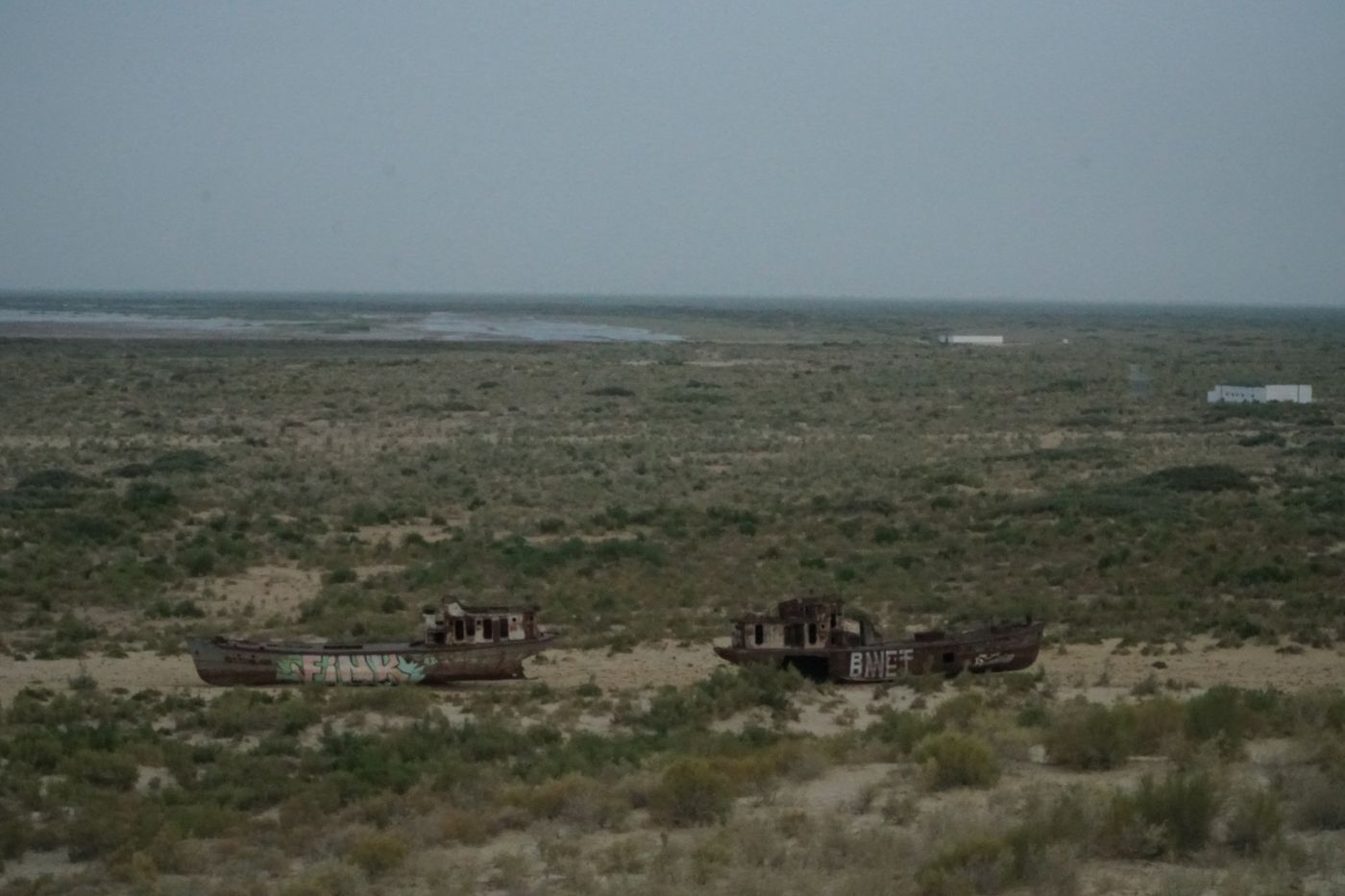
Aral Sea
Western Kazakhstan
The Aral Sea was an endorheic salt lake lying between Kazakhstan to its north and Uzbekistan to its south, which began shrinking in the 1960s and had largely dried up into desert by 2007. It was in the Aktobe and Kyzylorda regions of Kazakhstan and the Karakalpakstan autonomous region of Uzbekistan.
Did you know?
Once the fourth-largest lake on Earth, now partly restored in the north.
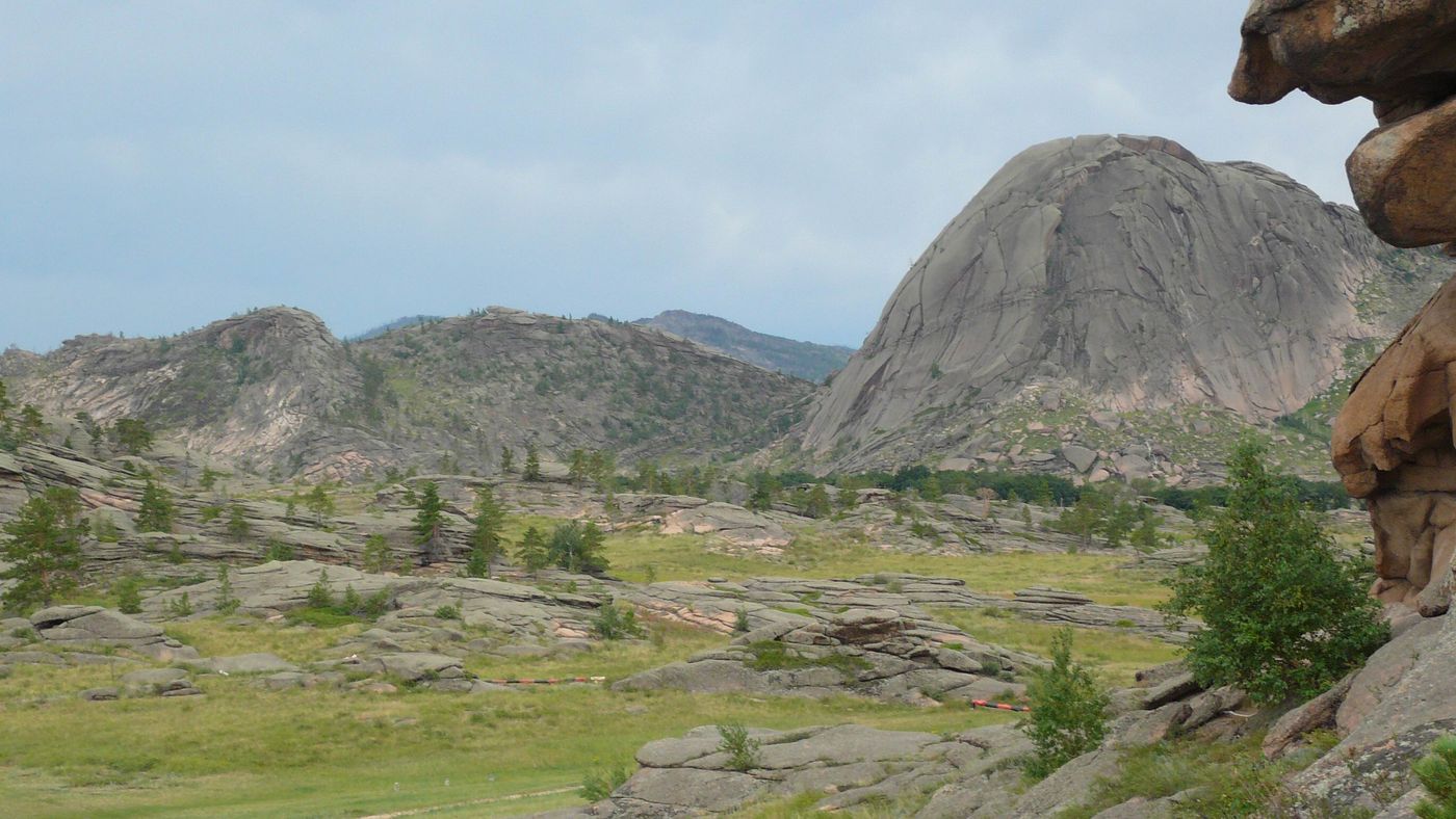 Rocks
Bayanaul
Pavlodar Region
The Bayanaul State National Nature Park is a national park in Kazakhstan located on the outskirts of the Kazakh Uplands in the northeastern Pavlodar Province, 140 km from the city of Ekibastuz. Established in 1985, it is Kazakhstan's first national park.
Did you know?
Weathered granite outcrops and pine forest around clear lakes.
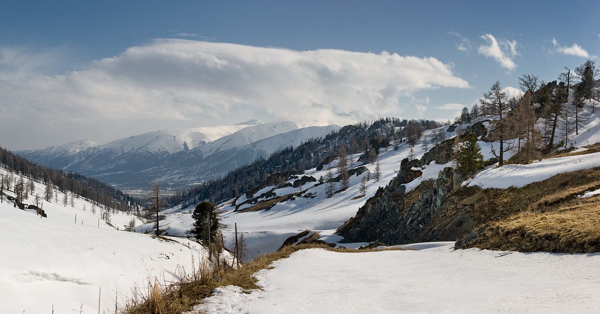 Mountains
Katon-Karagay
East Kazakhstan
Katon-Karagay National Park is the largest national park in Kazakhstan, located on the eastern edge of the country, in the Southern Altai Mountains. The park fills the western side of the "X" where the borders of Kazakhstan, Russia, China, and Mongolia meet.
Did you know?
Kazakhstan's largest park, in the glaciated Altai.