Southern Asia
Iran
The top 10 natural landmarks of Iran — real photos, locations and fascinating facts for every wonder.
 Asia
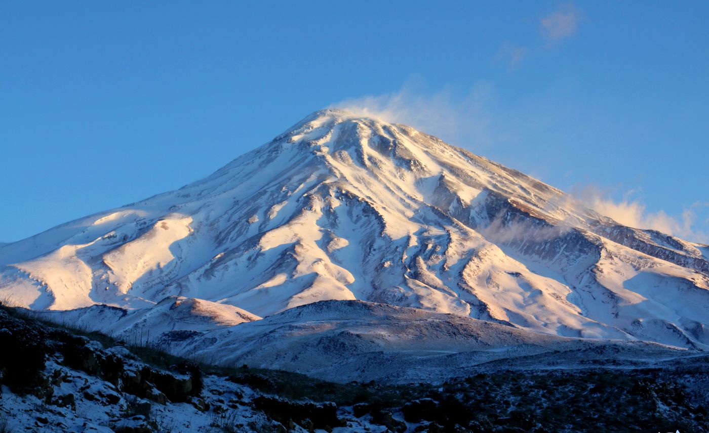 Volcanoes
Mount Damavand
Alborz
Mount Damavand is a dormant stratovolcano in Iran. It is the highest peak in Iran and Western Asia, the highest volcano in Asia, and the 3rd highest volcano in the Eastern Hemisphere, at an elevation of 5,610 metres (18,410 ft).
Did you know?
The highest peak in the Middle East and a dormant volcano steeped in Persian myth.
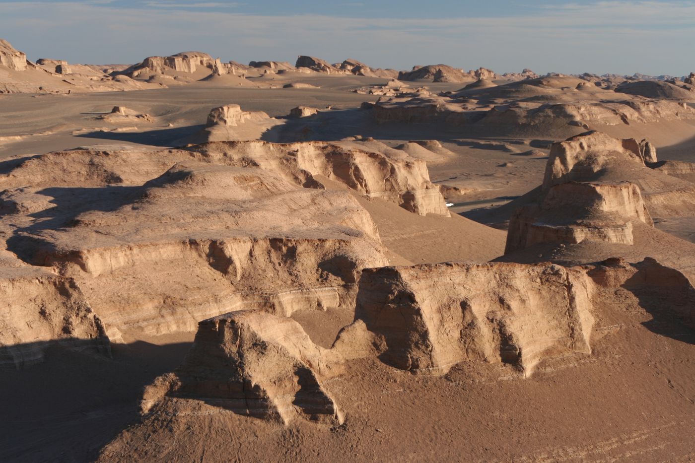 Deserts
Lut Desert
Kerman
Lut Desert is a desert with both extensive salt flats and dunes located in the provinces of Kerman and Sistan-Baluchestan, Iran. It is the world's 33rd-largest desert, and was included in UNESCO's World Heritage List on 17 July 2016.
Did you know?
Where the hottest land surface temperature on Earth has been recorded.
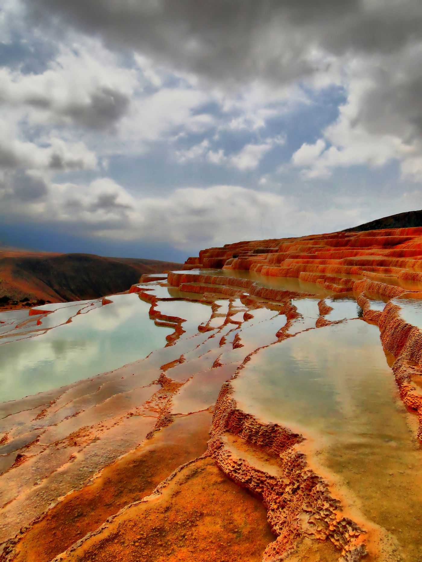 Geothermal
Badab-e Surt
Mazandaran
Badab Surt is a natural site in the Mazandaran Province in northern Iran, 95 kilometres (59 mi) south-east of the city of Sari, and 7 kilometres (4.3 mi) east of the village Orost. It comprises a range of stepped travertine terrace formations that have been created over thousands of years as flowing water from two mineral hot springs cooled and deposited carbonate minerals on the mountainside.
Did you know?
Terraced travertine pools in shades of orange built by mineral springs.
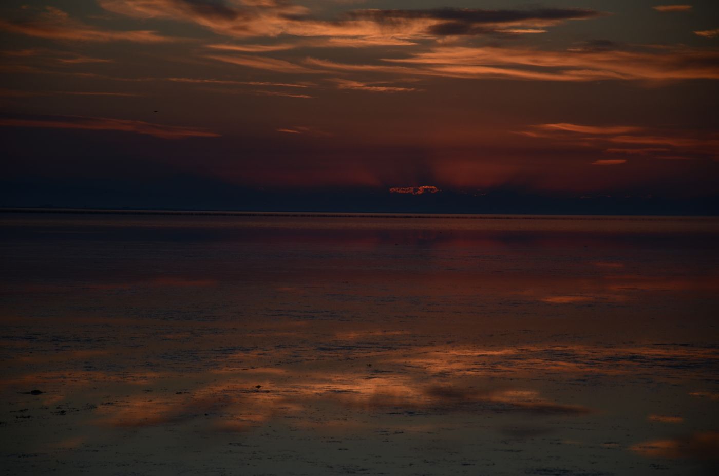 Coasts
Caspian Coast
Northern Iran
The Caspian Sea is the world's largest inland body of water, also described as the world's largest lake and usually referred to as a full-fledged sea. An endorheic basin, it is situated in both Europe and Asia: east of the Caucasus, west of the broad steppe of Central Asia, south of the fertile plains of Southern Russia in Eastern Europe, and north of the mountainous Iranian Plateau.
Did you know?
The green humid shoreline of the world's largest inland body of water.
 Mountains
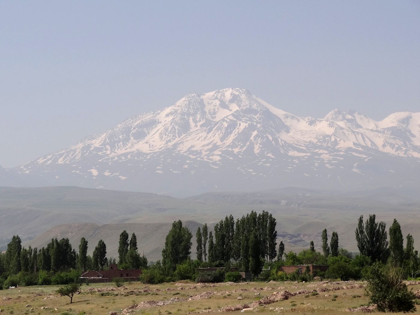
Mount Sabalan
Ardabil
Sabalan or Savalan is an inactive stratovolcano in northwestern Iran located in Ardabil province.
Did you know?
An extinct volcano cradling a crater lake near its 4,811 m summit.
 Wetlands
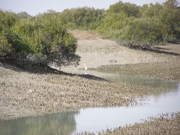
Hara Forests
Persian Gulf
The Mangrove forests of Qeshm or Hara forests of Qeshm, are the mangrove forests on the southern coast of Iran, particularly on and near the island of Qeshm in the Persian Gulf. Dominated by the species Avicennia marina, known locally as the "harra" tree, the forests represent an ecological resource.
Did you know?
Tidal mangrove forests that shelter migratory birds and marine life.
 Deserts
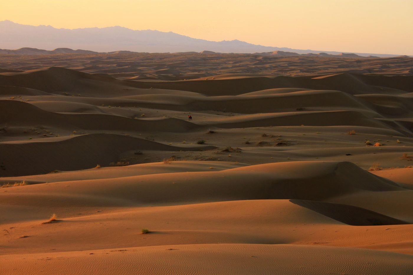
Dasht-e Kavir
Central Iran
The Great Salt Desert or Kavir Desert is a large desert lying in the middle of the Iranian Plateau. It is about 800 kilometres (500 mi) long by 320 kilometres (200 mi) wide with a total surface area of about 77,600 km2 (30,000 sq mi), making it the world's 24th largest desert.
Did you know?
A great salt desert of crusts and marshes in Iran's central plateau.
 Caves
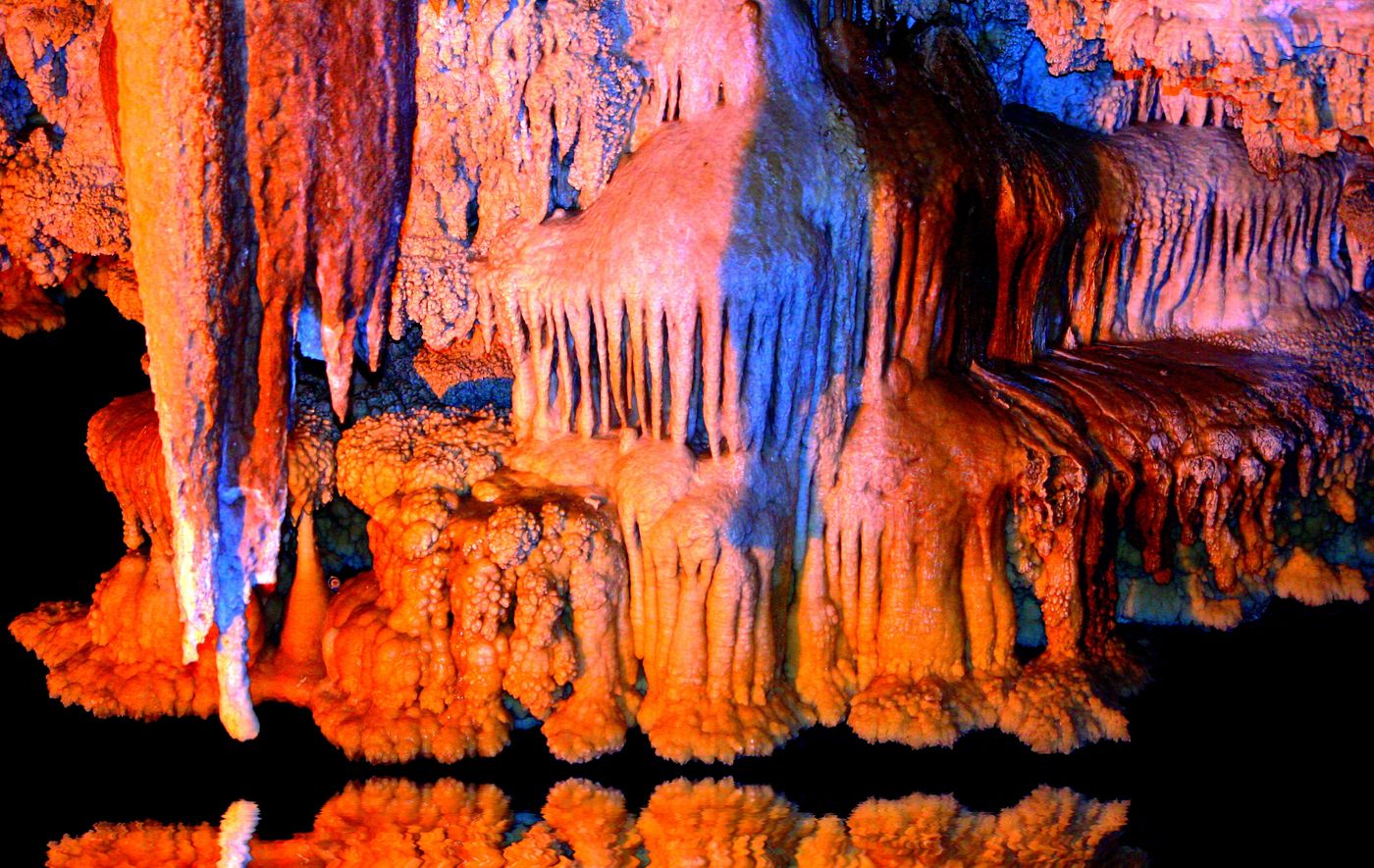
Ali Sadr Cave
Hamadan
The Ali-Sadr Cave, originally called Ali Saadr or Ali Sard, is a water cave which attracts visitors every year. It is located in Ali Sadr, Kabudarahang County, about 100 kilometres (62 mi) north of Hamadan, western Iran.
Did you know?
One of the world's largest water caves, explored by boat through lit chambers.
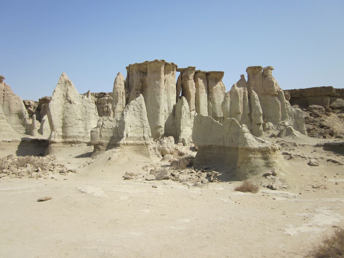 Rocks
Valley of the Stars
Qeshm Island
Wind-and-water-eroded rock formations wrapped in local legend.
Did you know?
Wind-and-water-eroded rock formations wrapped in local legend.
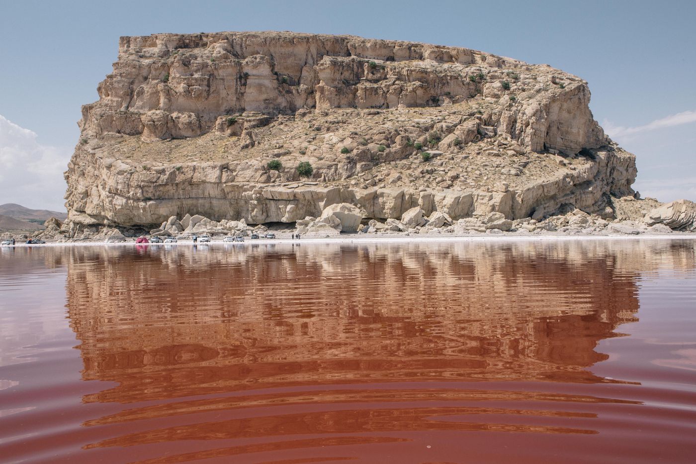 Lakes
Lake Urmia
West Azerbaijan
Lake Urmia is an endorheic salt lake in Iran. The lake is located in the Iranian region of Azerbaijan, near the Armenian border and south of the Caspian Sea.
Did you know?
Once the largest lake in the Middle East, famed for its pink salt waters.