Caribbean
Haiti
The top 4 natural landmarks of Haiti — real photos, locations and fascinating facts for every wonder.
 Americas
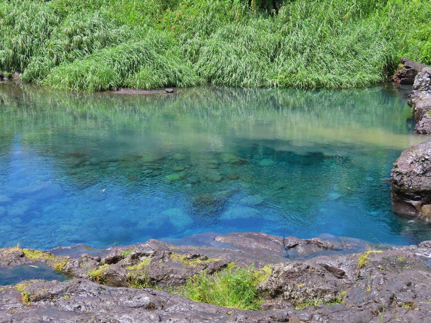 Waterfalls
Bassin Bleu
Jacmel
Bassin-Bleu (French pronunciation: [basɛ̃ blø]; Haitian Creole: Basen Ble) is a commune in the Port-de-Paix Arrondissement, in the Nord-Ouest department of Haiti. It has 33,926 inhabitants. Bassin-Bleu is a home to a waterfall/pond also called Bassin-Bleu.
Did you know?
A chain of cobalt-blue pools fed by waterfalls in the hills.
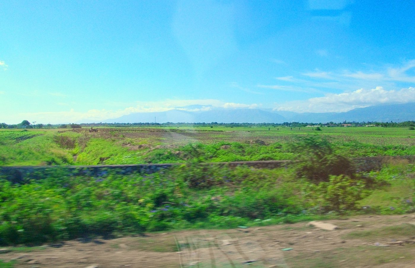 Mountains
Pic la Selle
Ouest
Pic la Selle (French pronunciation: [pik la sɛl]; Haitian Creole: Pik Lasel), also called Morne La Selle, is the highest peak in Haiti at 2,574 metres (8,445 ft) above sea level. The mountain is part of the Chaîne de la Selle mountain range and has a pine forest. The species black-capped petrel inhabits the mountain.
Did you know?
Haiti's highest peak, rising over 2,680 m in the southern range.
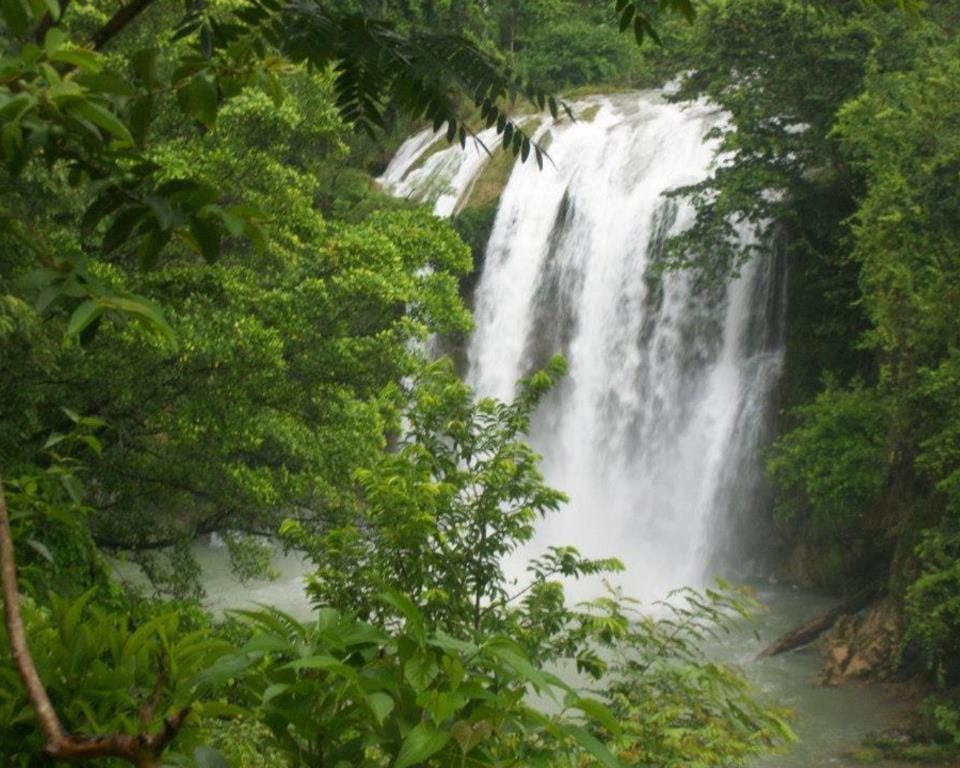 Waterfalls
Saut-Mathurine
Sud
Saut-Mathurine (French pronunciation: [so matyʁin]) is a waterfall in Haiti located in Camp-Perrin, Sud. The source of its stream of water comes from the Rivière de Cavaillon.
Did you know?
One of Haiti's largest waterfalls, plunging into a deep green pool.
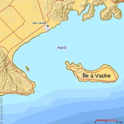 Islands
Île-à-Vache
Sud
Île-à-Vache, (French, pronounced [il a vaʃ], also expressed Île-à-Vaches, former Spanish name Isla Vaca; both translate to Cow Island; Haitian Creole: Lilavach) is a Caribbean island, one of Haiti's satellite islands. It lies in the Baie de Cayes about 6.5 miles (10.
Did you know?
A tranquil island of white beaches and mangrove coves.