Central America
Honduras
The top 10 natural landmarks of Honduras — real photos, locations and fascinating facts for every wonder.
 Americas
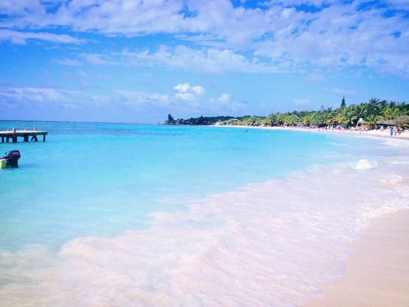 Coral Reefs
Roatán Reef
Bay Islands
Roatán (Spanish pronunciation: [ro.aˈtan]) is an island in the Caribbean, about 65 kilometres (40 mi) off the northern coast of Honduras. The largest of the Bay Islands of Honduras, it is located between the islands of Utila and Guanaja. It is approximately 59 kilometres (37 mi) long, and less than 8 kilometres (5.
Did you know?
A Caribbean island on the world's second-largest barrier reef.
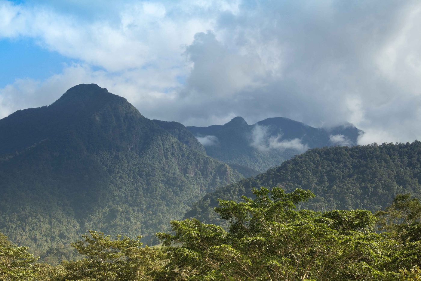 Mountains
Pico Bonito
Atlántida
Pico Bonito National Park is a national park in Honduras. It was established on January 1, 1987 and covers an area of 564.30 km2 (217.88 sq mi). It has an altitude ranging between 60 and 2,480 meters.
Did you know?
A steep rainforest mountain rising from the coast to 2,435 m.
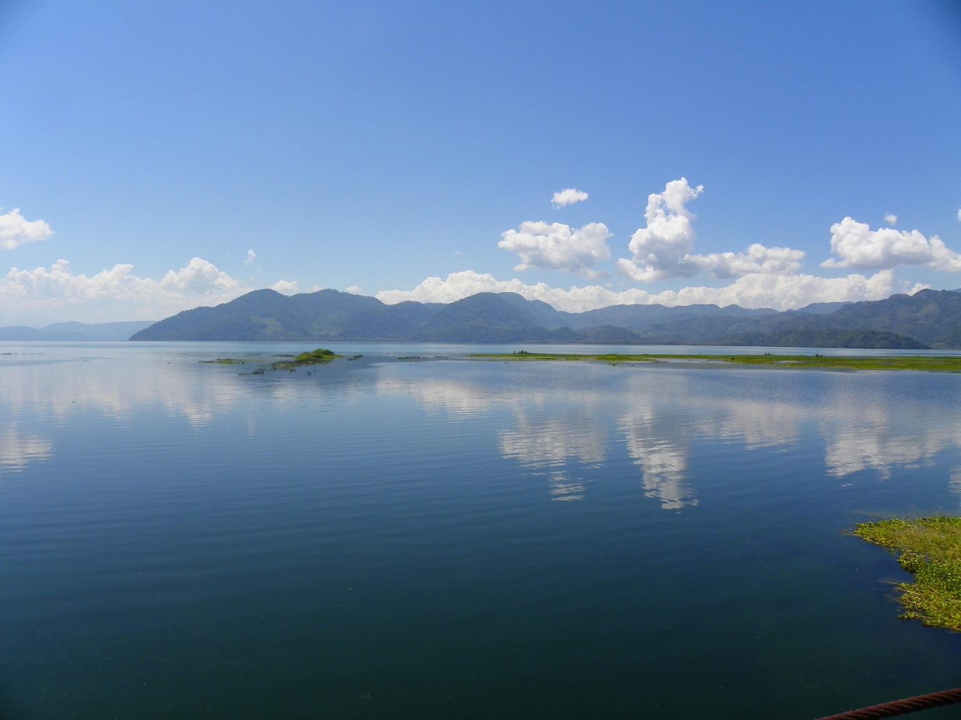 Lakes
Lake Yojoa
Cortés
Lake Yojoa is the largest lake in Honduras with a surface area of 79 square kilometers (31 square miles) and an average depth of 15 meters (49 feet). At an altitude of 700 meters (2,300 feet), it lies in a depression formed by volcanoes.
Did you know?
Honduras's largest natural lake, ringed by cloud forest and birds.
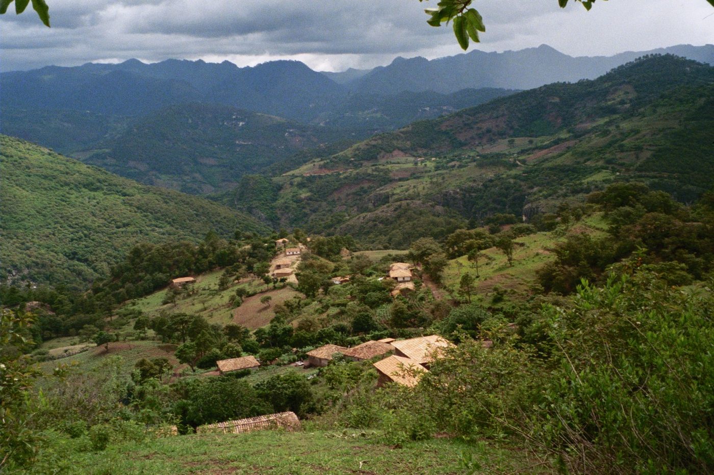 Forests
Celaque
Lempira
Celaque National Park (formally in Spanish, Parque Nacional Montaña de Celaque) is a national park in Lempira Ocotepeque and Copán, western Honduras. It was established on 5 August 1987 and covers an area of 266.31 square kilometres.
Did you know?
Cloud forest around Honduras's highest peak, often veiled in mist.
 Wetlands
Cuero y Salado
Atlántida
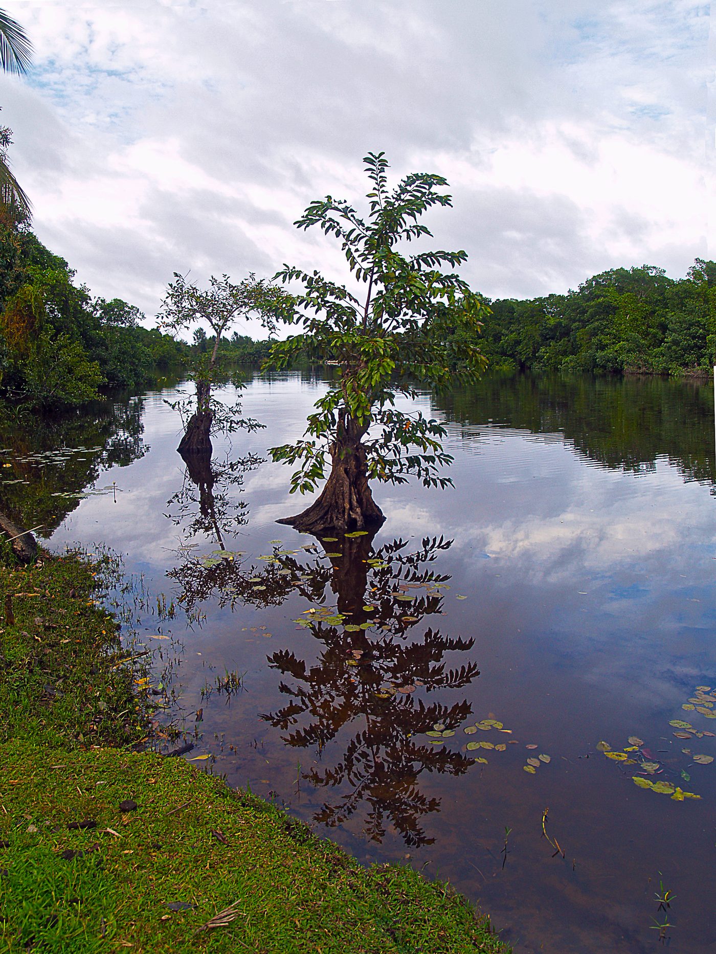
A coastal maze of mangroves sheltering manatees and monkeys.
Did you know?
A coastal maze of mangroves sheltering manatees and monkeys.
 Forests
Río Plátano
Gracias a Dios
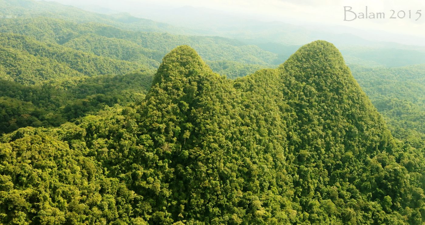
The Río Plátano Biosphere Reserve is a protected area in the Gracias a Dios department region on the Caribbean coast of Honduras. With a total area of 5,250 square kilometers (2,030 mi2), most of the reserve runs along the Río Plátano.
Did you know?
One of Central America's last great rainforests on the Mosquito Coast.
 Coral Reefs
Utila
Bay Islands
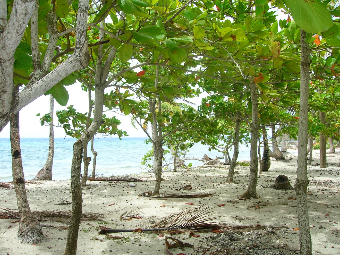
Utila (Spanish: Isla de Utila) is the smallest of Honduras' major Bay Islands, after Roatán and Guanaja, in a region that marks the south end of the Mesoamerican Barrier Reef System, the second-largest in the world. It has been documented in history since Columbus' fourth voyage.
Did you know?
A tiny reef island famed for diving with gentle whale sharks.
 Waterfalls
Pulhapanzak Falls
Cortés
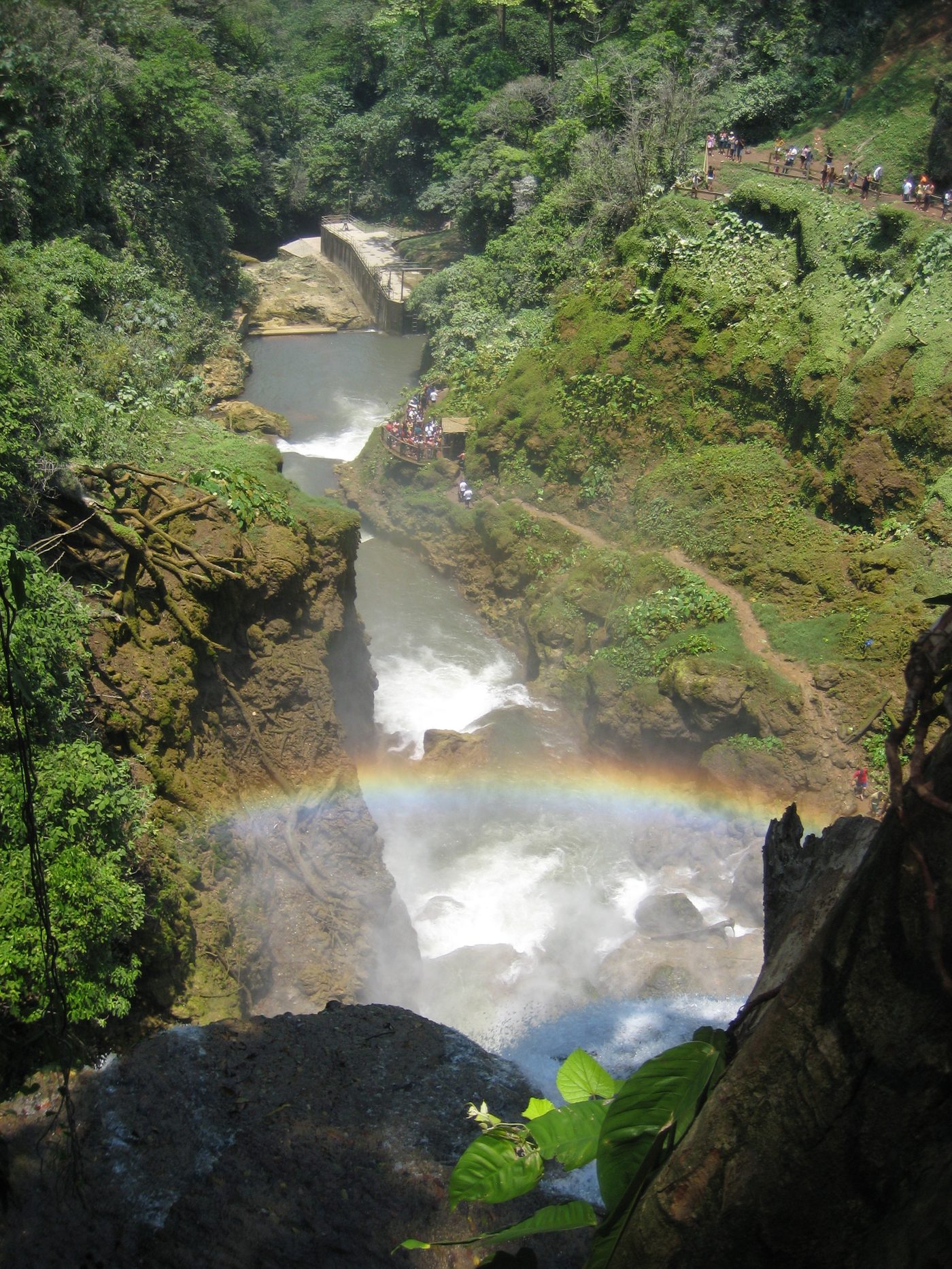
A 43 m waterfall thundering through tropical greenery.
Did you know?
A 43 m waterfall thundering through tropical greenery.
 Islands
Cayos Cochinos
Bay Islands
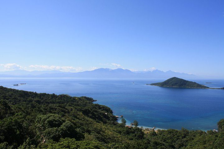
The Cayos Cochinos or Cochinos Cays consist of two small islands (Cayo Menor and Cayo Grande) and 13 smaller coral cays situated 30 kilometres (19 mi; 16 nmi) northeast of La Ceiba on the northern shores of Honduras.
Did you know?
A protected cluster of tiny coral cays in clear Caribbean water.
 Mountains
Montaña de Comayagua
Comayagua
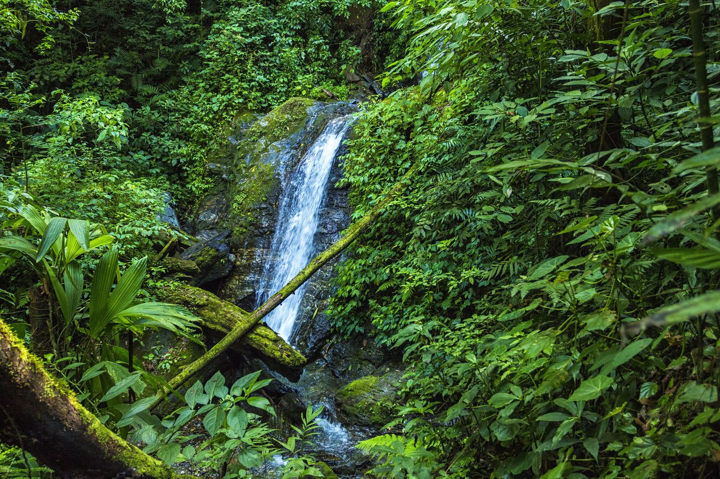
Montaña de Comayagua National Park is a national park in Honduras. It was established on 1 January 1987 and covers an area of 184.8 square kilometres. The park is known locally by the name Parque Nacional Montaña de Comayagua and the acronym PANACOMA.
Did you know?
A rugged cloud-forest range feeding waterfalls and rivers.