Northern Europe
Estonia
The top 5 natural landmarks of Estonia — real photos, locations and fascinating facts for every wonder.
 Europe
 Coasts
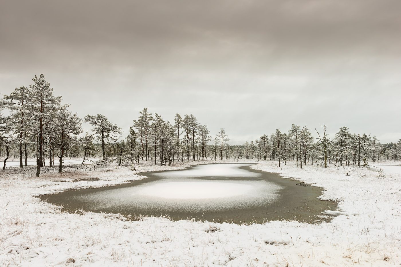
Lahemaa
Northern Estonia
Lahemaa National Park is a park in northern Estonia, 70 kilometers east from the capital Tallinn. The Gulf of Finland is to the north of the park and the Tallinn-Narva highway (E20) to the south. Its area covers 747 km2 (including 274.9 km2 of sea).
Did you know?
A coast of bogs, forests and giant erratic boulders.
 Wetlands
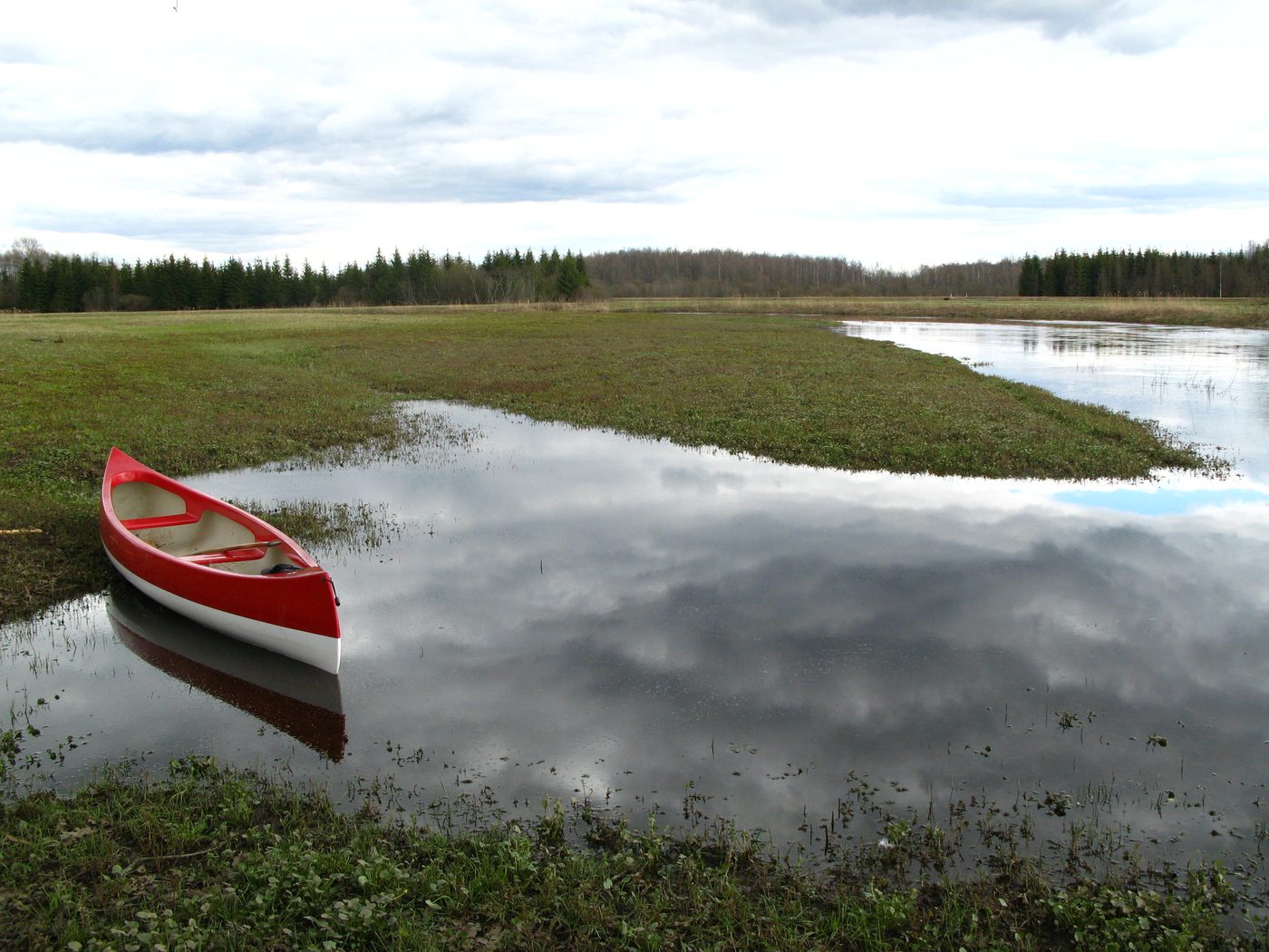
Soomaa
Southwestern Estonia
Soomaa National Park (Estonian: Soomaa rahvuspark) is a national park in south-western Estonia. Soomaa ("land of bogs") protects 390 km2, the park was created in 1993. Soomaa has been an Important Bird Area since 1989, a Ramsar site of protected wetlands since 1997, and a Natura 2000 area since 2004.
Did you know?
A land of vast bogs known for its springtime 'fifth season' floods.
 Rocks
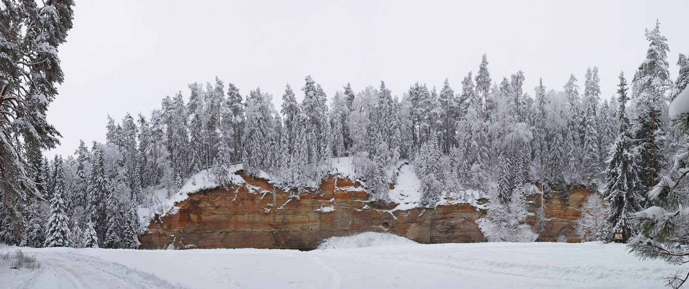
Taevaskoda
Põlva County
Ancient devonian sandstone cliffs along the Ahja River.
Did you know?
Ancient devonian sandstone cliffs along the Ahja River.
 Islands
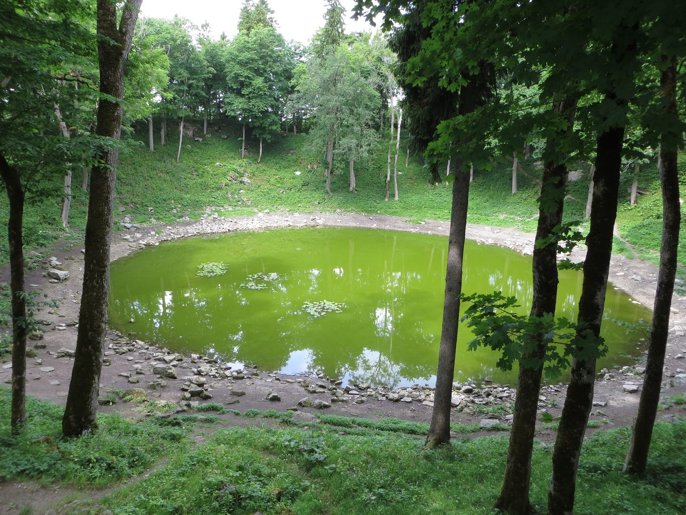
Saaremaa
Western Estonia
Saaremaa (; Estonian: [ˈsɑˑreˌmɑː]) is the largest and most populous island in Estonia. Measuring 2,673 km2 (1,032 sq mi), its population is 31,435 (as of January 2020).
Did you know?
Estonia's largest island, dotted with juniper heath and a meteor crater.
 Waterfalls
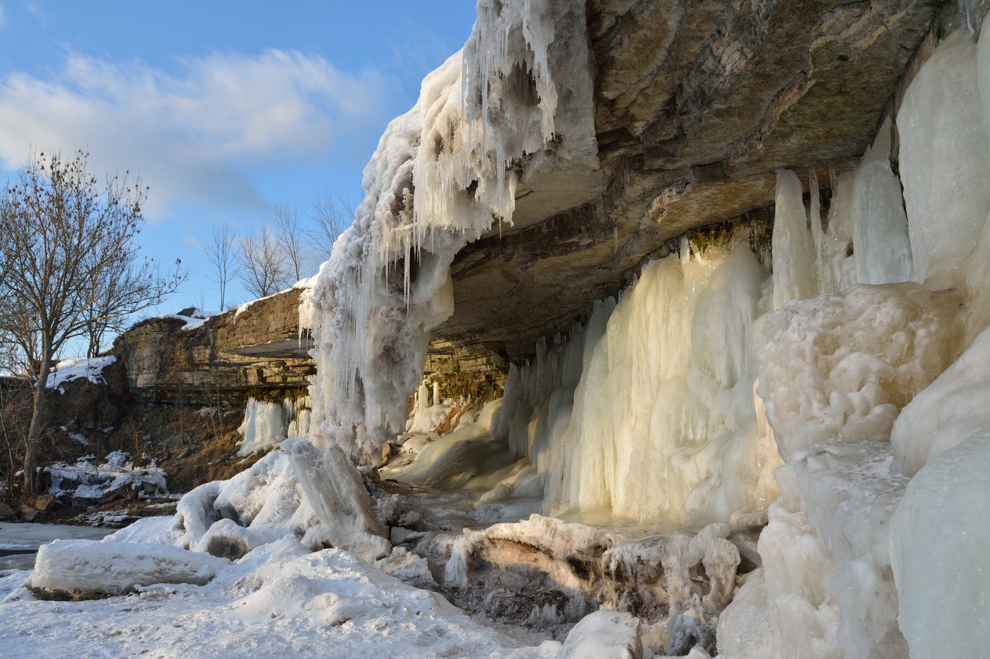
Jägala Waterfall
Harju County
Estonia's widest natural waterfall, a frozen curtain in winter.
Did you know?
Estonia's widest natural waterfall, a frozen curtain in winter.