South America
Ecuador
The top 10 natural landmarks of Ecuador — real photos, locations and fascinating facts for every wonder.
 Americas
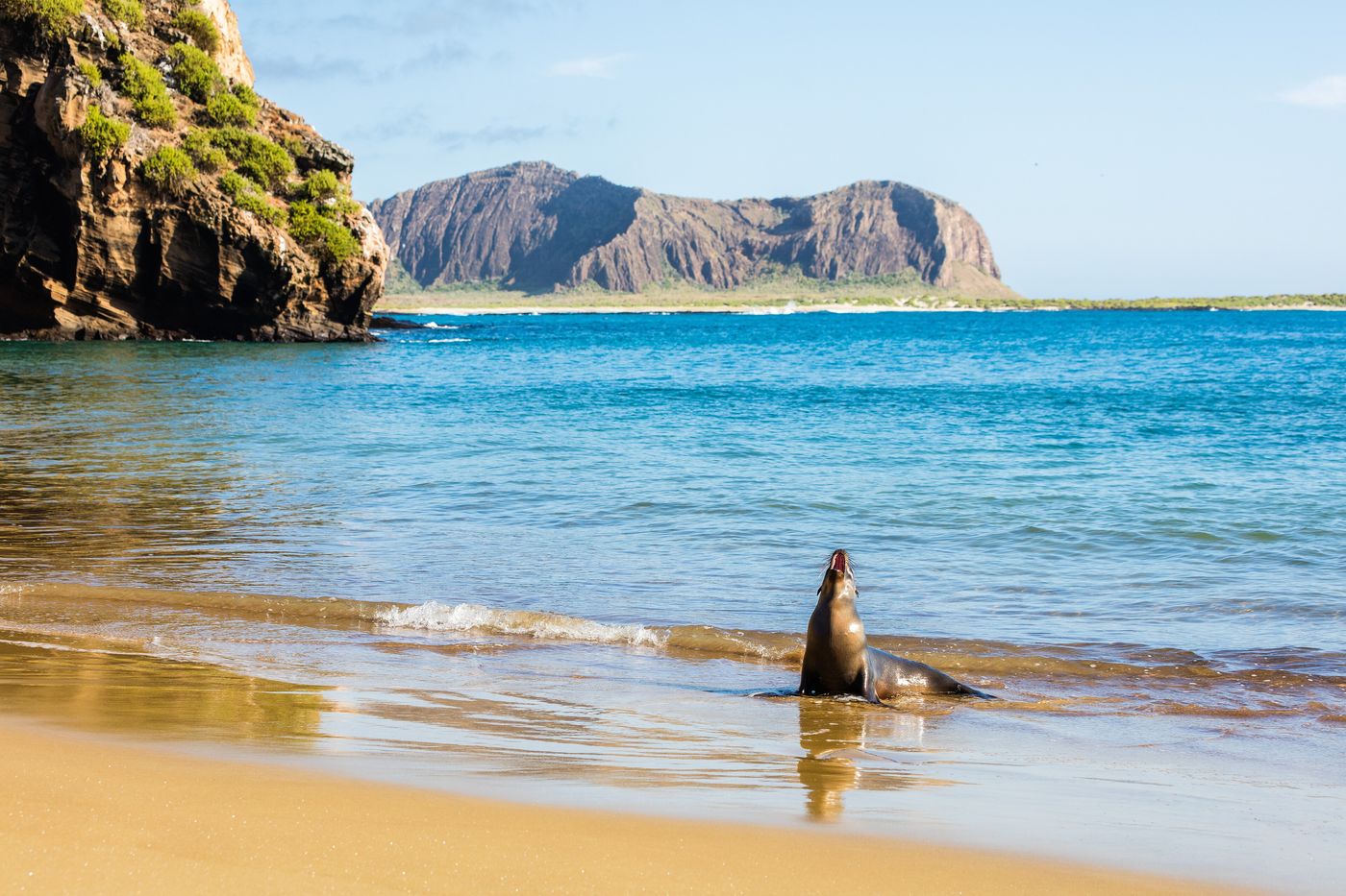 Islands
Galápagos Islands
Pacific Ocean
The Galápagos Islands are an archipelago of volcanic islands in the Eastern Pacific, located around the equator, 485 nautical miles west of the mainland of South America. They form the Galápagos Province of the Republic of Ecuador, with a population of slightly over 33,000 in 2020.
Did you know?
The volcanic archipelago whose unique wildlife inspired Darwin's theory of evolution.
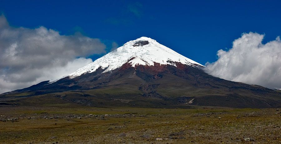 Volcanoes
Cotopaxi
Cotopaxi Province
Cotopaxi is an active stratovolcano in the Andes Mountains, located in Cotopaxi National Park in Cotopaxi Province, about 50 km (31.1 mi) south of Quito, and 31 km (19 mi) northeast of the city of Latacunga, Ecuador. It is the second highest summit in Ecuador, reaching a height of 5,897 m (19,347 ft).
Did you know?
One of the world's highest active volcanoes, with a near-perfect snow-capped cone.
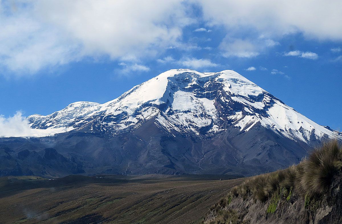 Mountains
Chimborazo
Chimborazo Province
Chimborazo is a stratovolcano in Ecuador and the Cordillera Occidental range of the Andes. Its last known eruption is believed to have occurred around AD 550.
Did you know?
Its summit is the farthest point from the Earth's centre thanks to the equatorial bulge.
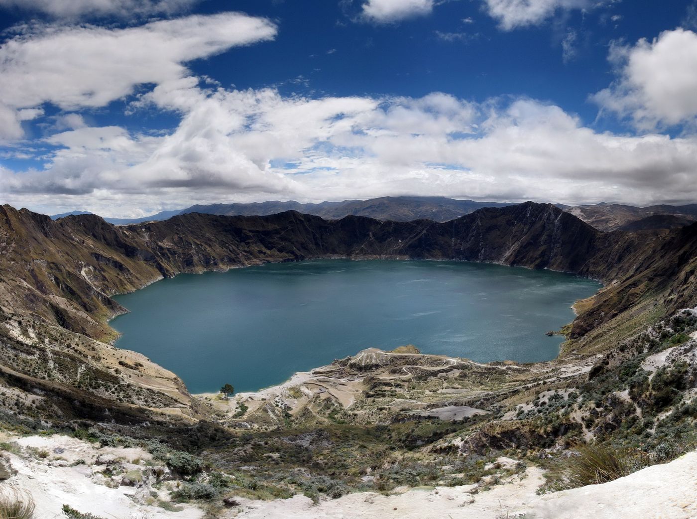 Lakes
Quilotoa
Cotopaxi Province
Quilotoa is a water-filled crater lake and the most western volcano in the Ecuadorian Andes. The 3-kilometre-wide (2 mi) caldera was formed by the collapse of this dacite volcano following a catastrophic VEI-6 eruption about 800 years ago, which produced pyroclastic flows and lahars that reached the Pacific Ocean, and spread an airborne deposit of volcanic ash throughout the northern Andes.
Did you know?
A stunning turquoise crater lake filling a volcanic caldera.
 Forests
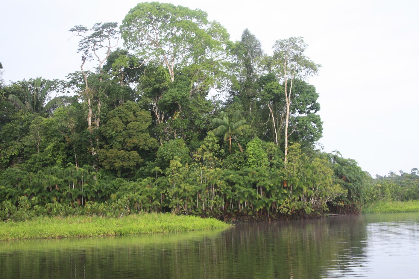
Yasuní National Park
Amazon Basin
Yasuní National Park is a protected area comprising roughly 10,000 km2 (3,900 sq mi) between the Napo and Curaray Rivers in Pastaza and Orellana Provinces within Amazonian Ecuador. The national park lies within the Napo moist forests ecoregion and is primarily rain forest.
Did you know?
One of the most biodiverse places on Earth, deep in the Ecuadorian Amazon.
 Waterfalls
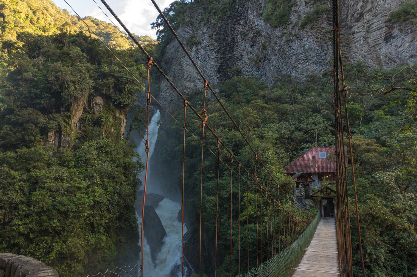
Pailón del Diablo
Tungurahua
Pailón del Diablo is one of the most famous waterfalls in Ecuador, located near the town of Río Verde in the Tungurahua Province. It remains as Ecuador’s largest waterfall as of the 2020s, after the San Rafael Falls disappeared.
Did you know?
A thundering waterfall known as the Devil's Cauldron near Baños.
 Lakes
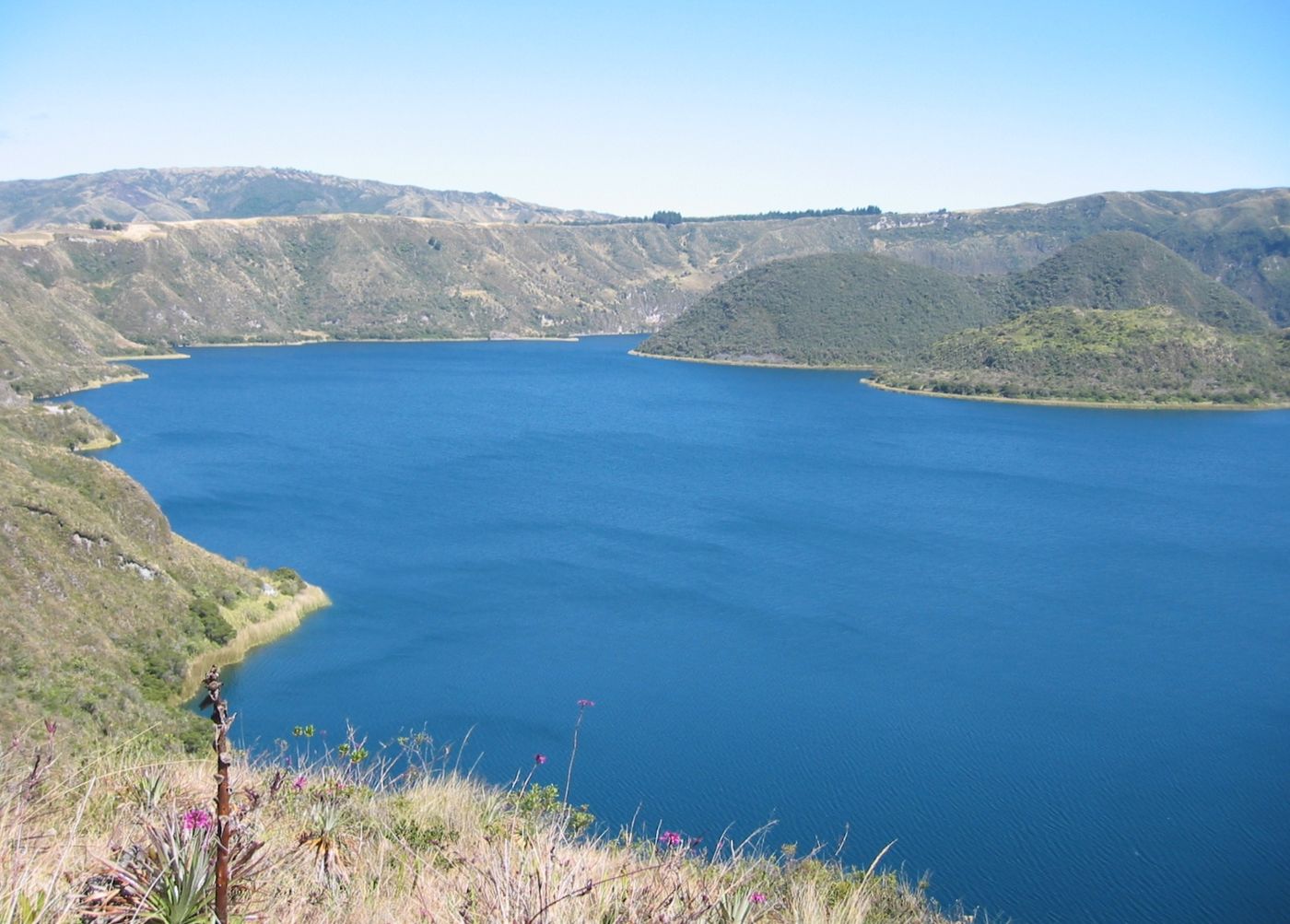
Cuicocha
Imbabura
Cuicocha is a 3 km (1.9 mi) wide caldera and crater lake at the foot of Cotacachi Volcano in the Cordillera Occidental of the Ecuadorian Andes.
Did you know?
A deep crater lake with two forested islands inside a volcanic caldera.
 Lakes
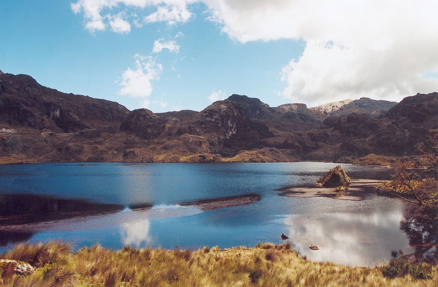
Cajas National Park
Azuay
El Cajas National Park or Cajas National Park is a national park in the highlands of Ecuador. It is located about 30 km west from Cuenca, the capital of the province of Azuay.
Did you know?
A high páramo dotted with more than 270 glacial lakes.
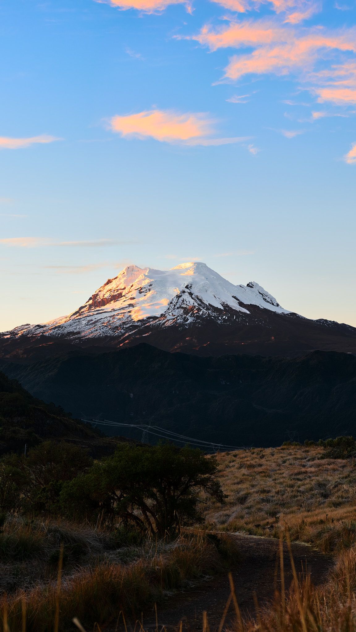 Volcanoes
Antisana
Napo
Antisana is a stratovolcano of the northern Andes, in Ecuador. It is the fourth highest volcano in Ecuador, at 5,753 metres (18,875 ft), and is located 50 kilometres (31 mi) SE of the capital city of Quito.
Did you know?
A glacier-covered volcano and refuge for the Andean condor.
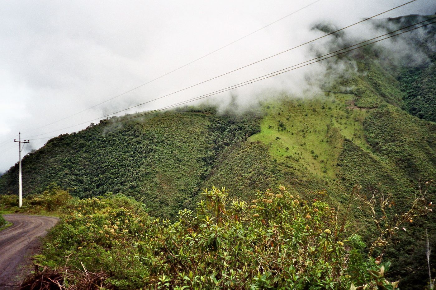 Forests
Mindo Cloud Forest
Pichincha
A misty cloud forest renowned as one of the world's top birdwatching spots.
Did you know?
A misty cloud forest renowned as one of the world's top birdwatching spots.