Northern Africa
Algeria
The top 5 natural landmarks of Algeria — real photos, locations and fascinating facts for every wonder.
 Africa
 Deserts
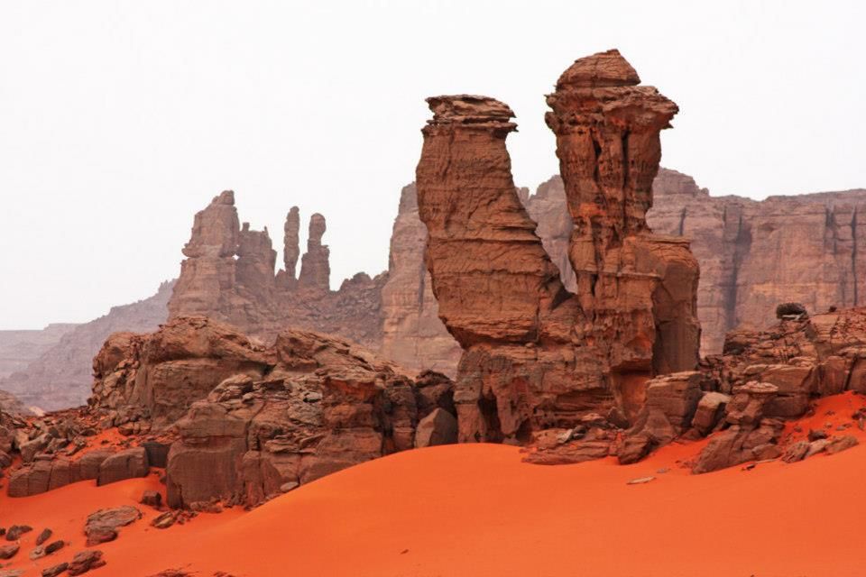
Tassili n'Ajjer
Southeast Sahara
Tassili n'Ajjer is a mountain range in the Sahara desert, located in south-eastern Algeria. It holds one of the most important groupings of prehistoric cave art in the world and covers an area of more than 72,000 km2 (28,000 sq mi).
Did you know?
A sandstone plateau of eroded rock 'forests' and prehistoric rock art.
 Mountains
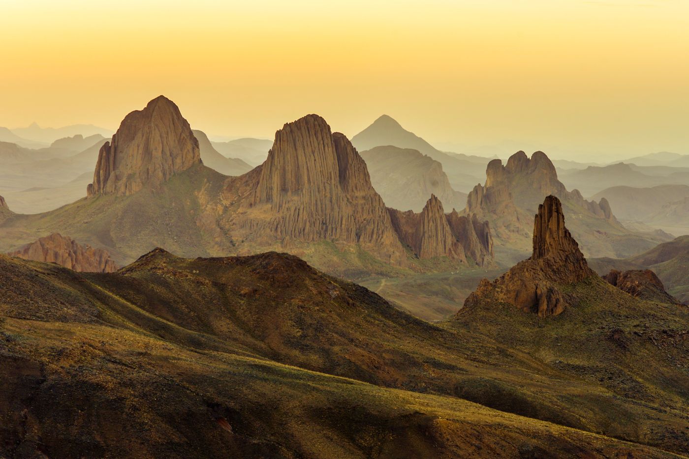
Hoggar Mountains
Southern Algeria
The Hoggar Mountains are a highland region in the central Sahara in southern Algeria, along the Tropic of Cancer, that covers an area of approximately 550,000 km2.
Did you know?
A volcanic highland rising from the Sahara, cool and star-filled by night.
 Deserts
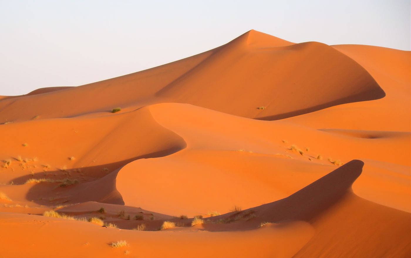
Sahara Desert
Southern Algeria
The Sahara is a desert spanning North Africa. With an area of 9,200,000 square kilometres (3,600,000 sq mi), it is the largest hot desert in the world and the third-largest desert overall, smaller only than the deserts of Antarctica and the northern Arctic.
Did you know?
The world's largest hot desert covers most of Algeria's vast interior.
 Forests
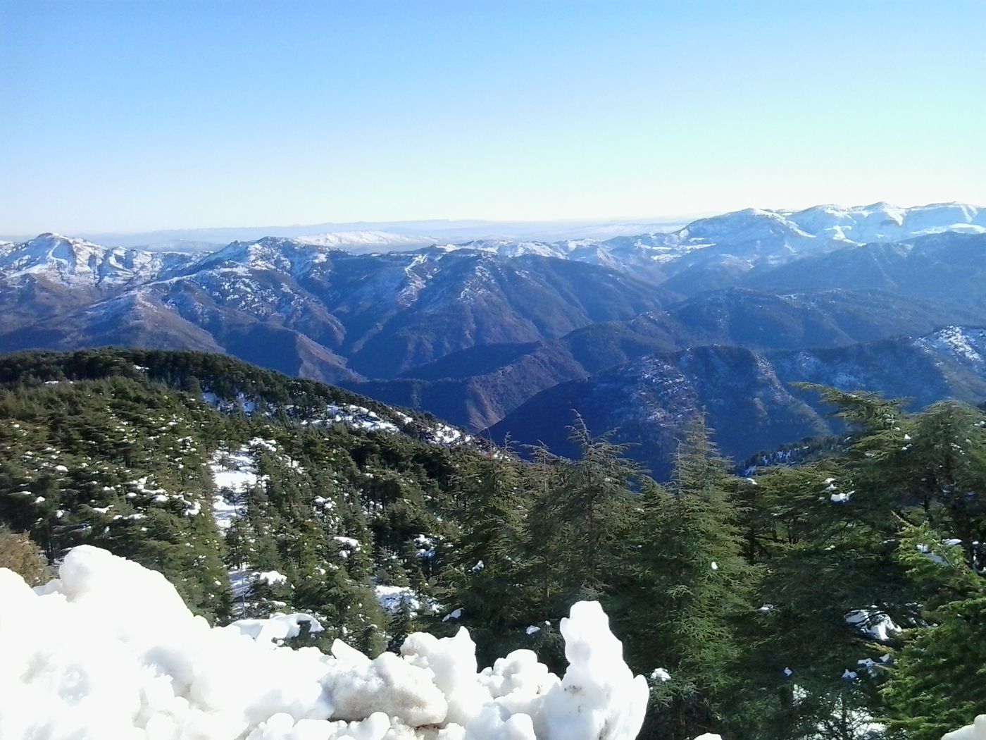
Chrea National Park
Blida Province
The Chréa National Park (Arabic:الحديقة الوطنية الشريعة) is one of the largest national parks of Algeria. It is located in Blida Province, named after Chréa, a town near this park.
Did you know?
Cedar forests and snow-dusted slopes within sight of the Mediterranean.
 Coasts
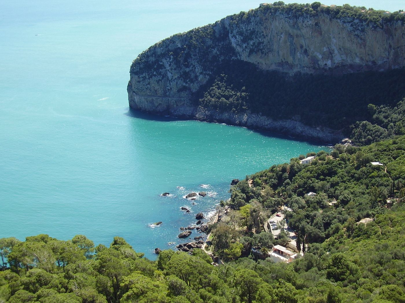
Gouraya National Park
Béjaïa
The national park of Gouraya is one of the coastal national parks of Algeria. It is located in Béjaïa Province, near the shrine of Sidi Touati.
Did you know?
Limestone headlands plunging into the sea, home to the Barbary macaque.