Caribbean
Dominican Republic
The top 5 natural landmarks of Dominican Republic — real photos, locations and fascinating facts for every wonder.
 Americas
 Mountains
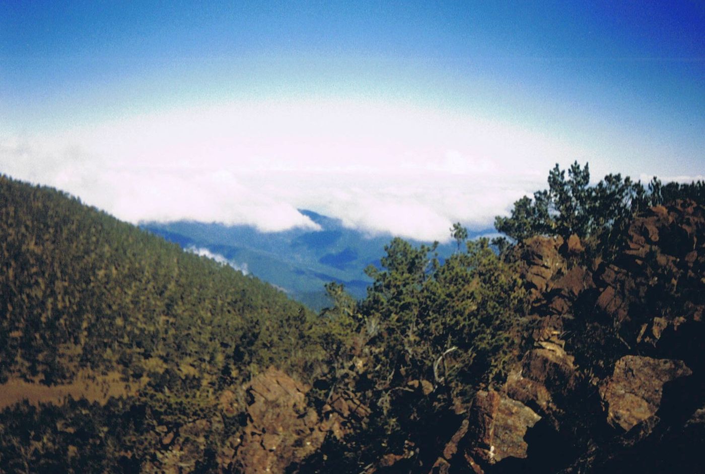
Pico Duarte
Central DR
Pico Duarte is the highest peak in the Dominican Republic, on the island of Hispaniola and in all the Caribbean. At 3,101 m (10,174 ft) above sea level, it gives Hispaniola the 16th-highest maximum elevation of any island in the world.
Did you know?
The highest peak in the Caribbean at 3,101 m.
 Coasts
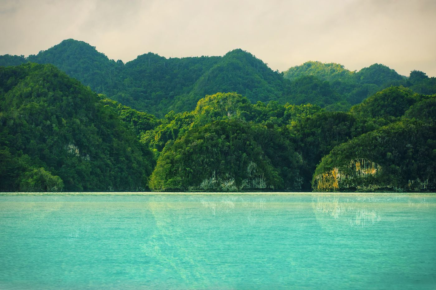
Los Haitises
Samaná
Los Haitises National Park is a national park located on the remote northeast coast of the Dominican Republic that was established in 1976. It consists of a limestone karst plateau with conical hills, sinkholes and caverns, and there is a large area of mangrove forest on the coast.
Did you know?
A coast of mangroves, sea caves and limestone karst islets.
 Waterfalls
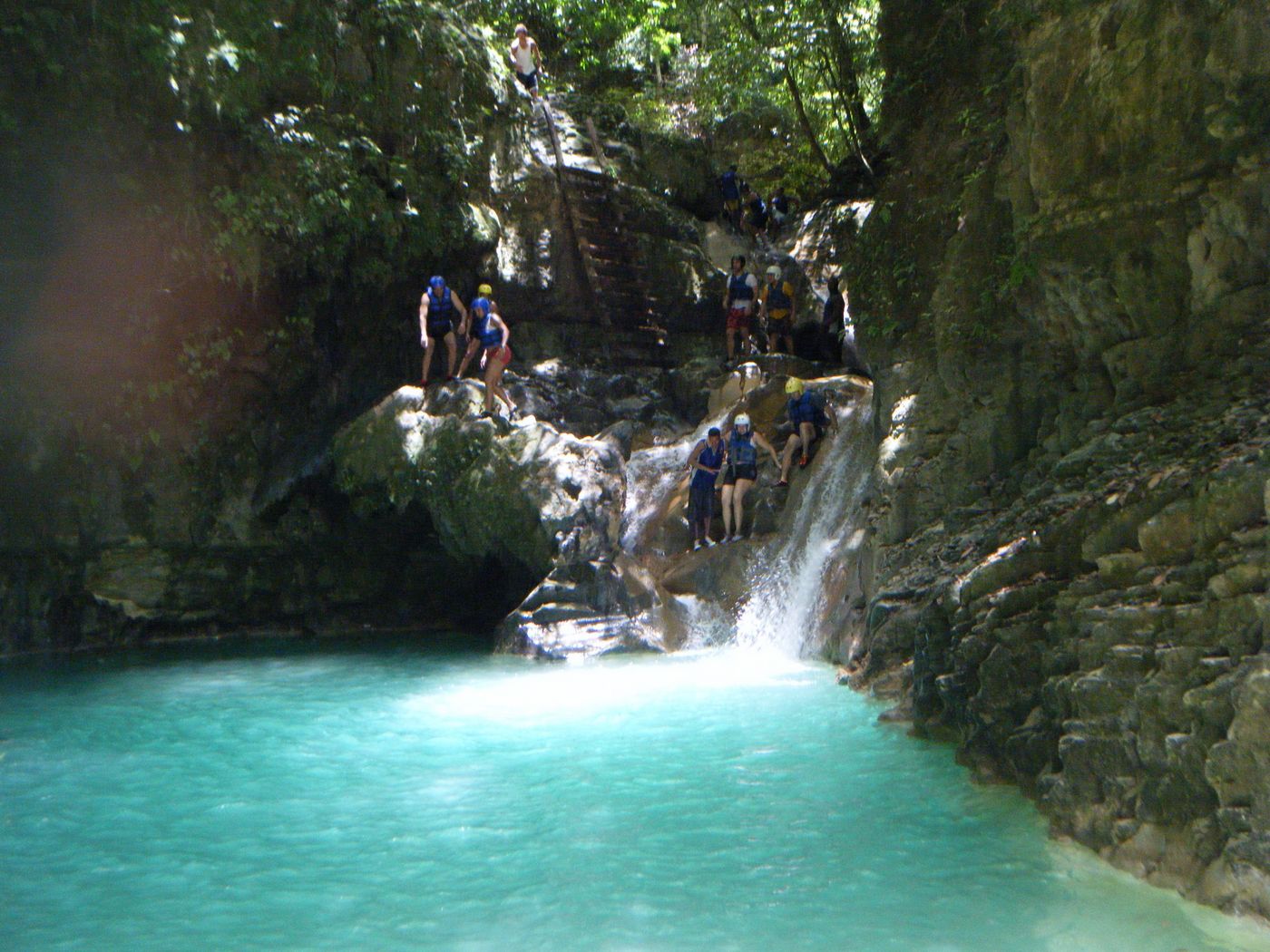
Damajagua Cascades
Puerto Plata
A set of 27 waterfalls you can jump and slide down.
Did you know?
A set of 27 waterfalls you can jump and slide down.
 Lakes
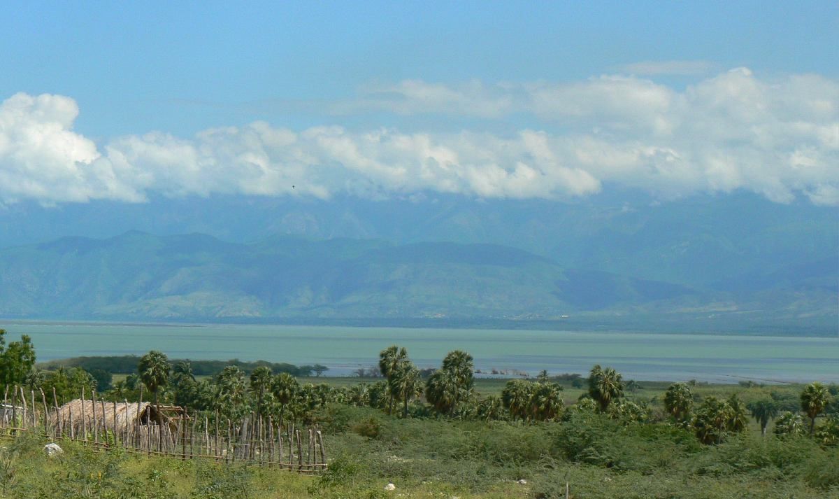
Lake Enriquillo
Southwest DR
Lake Enriquillo is a hypersaline lake in the Dominican Republic located in the southwestern region of the country. Its waters are shared between the provinces of Bahoruco and Independencia, the latter of which borders Haiti.
Did you know?
A hypersaline lake below sea level, home to American crocodiles.
 Islands
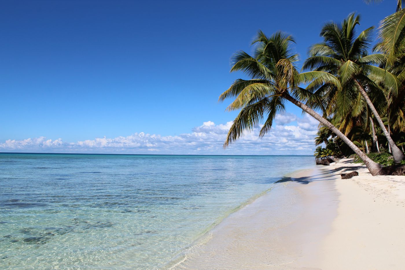
Saona Island
La Altagracia
Saona Island is a 110-square-kilometer (42 sq mi) tropical island located 1.5 miles (2.4 km) off the south-east coast in Dominican Republic's La Altagracia province. It is a government-protected nature reserve and is part of Cotubanamá National Park.
Did you know?
A protected tropical island of palm-fringed white beaches.