Eastern Africa
Djibouti
The top 5 natural landmarks of Djibouti — real photos, locations and fascinating facts for every wonder.
 Africa
 Lakes
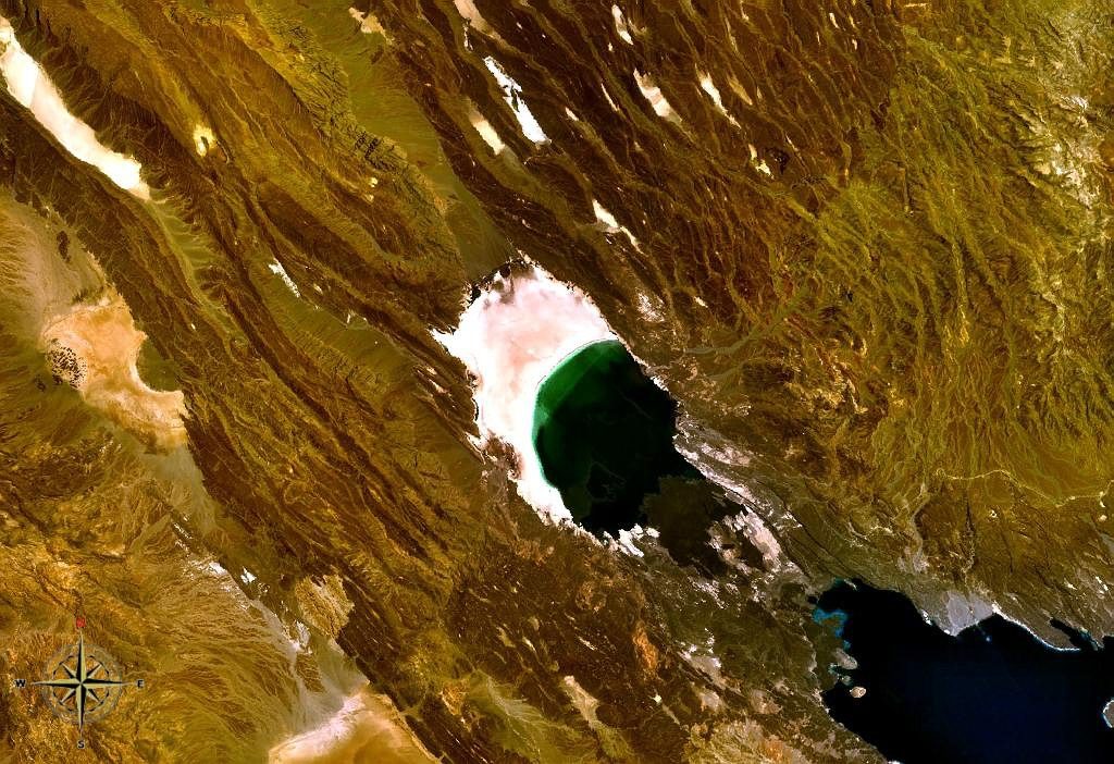
Lake Assal
Tadjourah
Lake Assal (Arabic: بحيرة عسل Buḥayrah ʿAsal, lit. “Honey Lake”) is a crater lake in central-western Djibouti. It is located at the western end of Gulf of Tadjoura between Arta Region, and Tadjoura Region, touching Dikhil Region, at the top of the Great Rift Valley, some 120 km (75 mi) west of Djibouti city.
Did you know?
A dazzling salt lake, the lowest point in Africa at 155 m below sea level.
 Geothermal
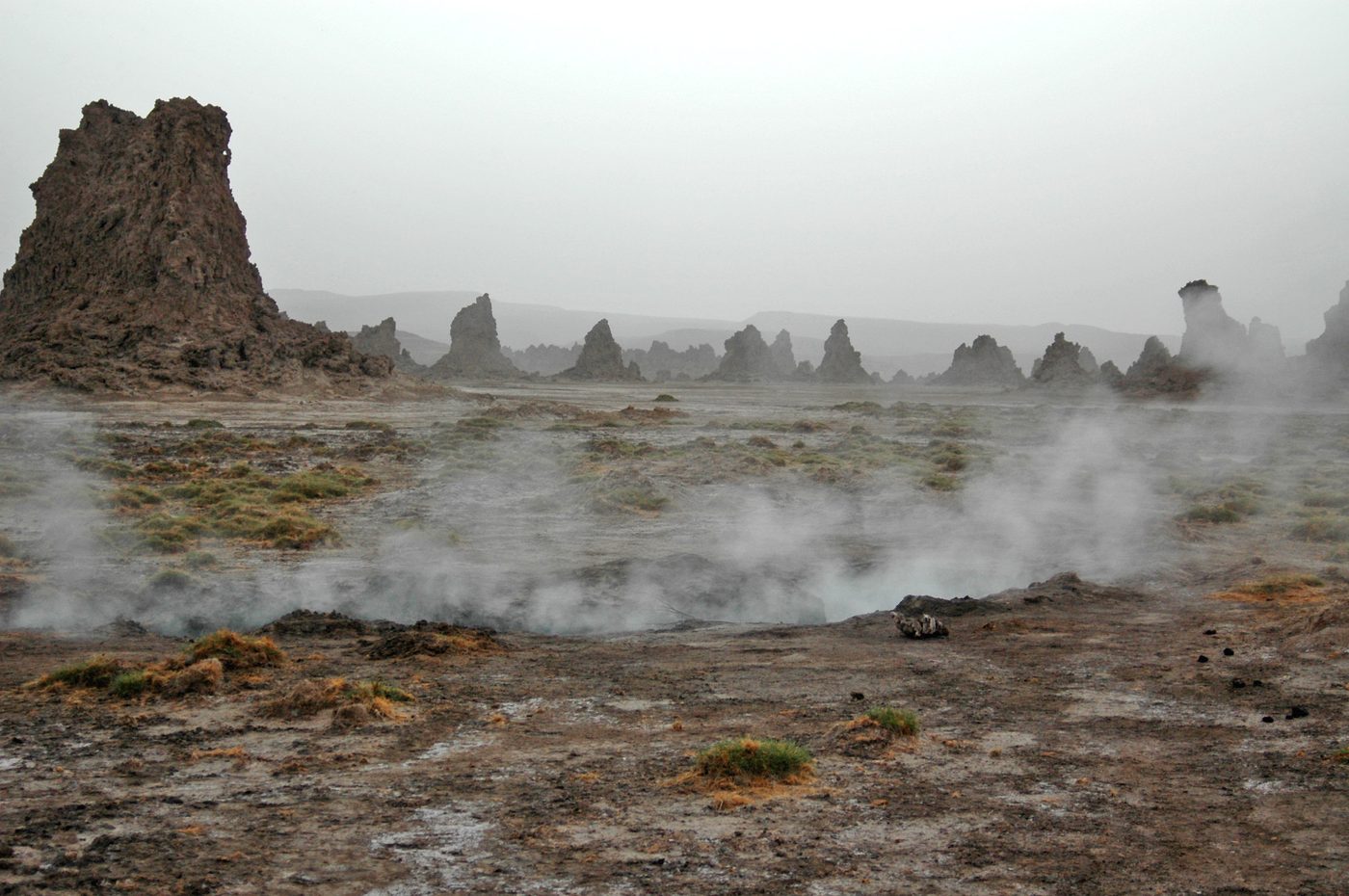
Lake Abbe
Dikhil
Lake Abbe, also known as Lake Abhe Bad, is a salt lake, lying on the Ethiopia-Djibouti border. It is one of a chain of six connected lakes, which also includes (from north to south) lakes Gargori, Laitali, Gummare, Bario and Afambo.
Did you know?
An eerie lake of towering limestone chimneys venting steam.
 Forests
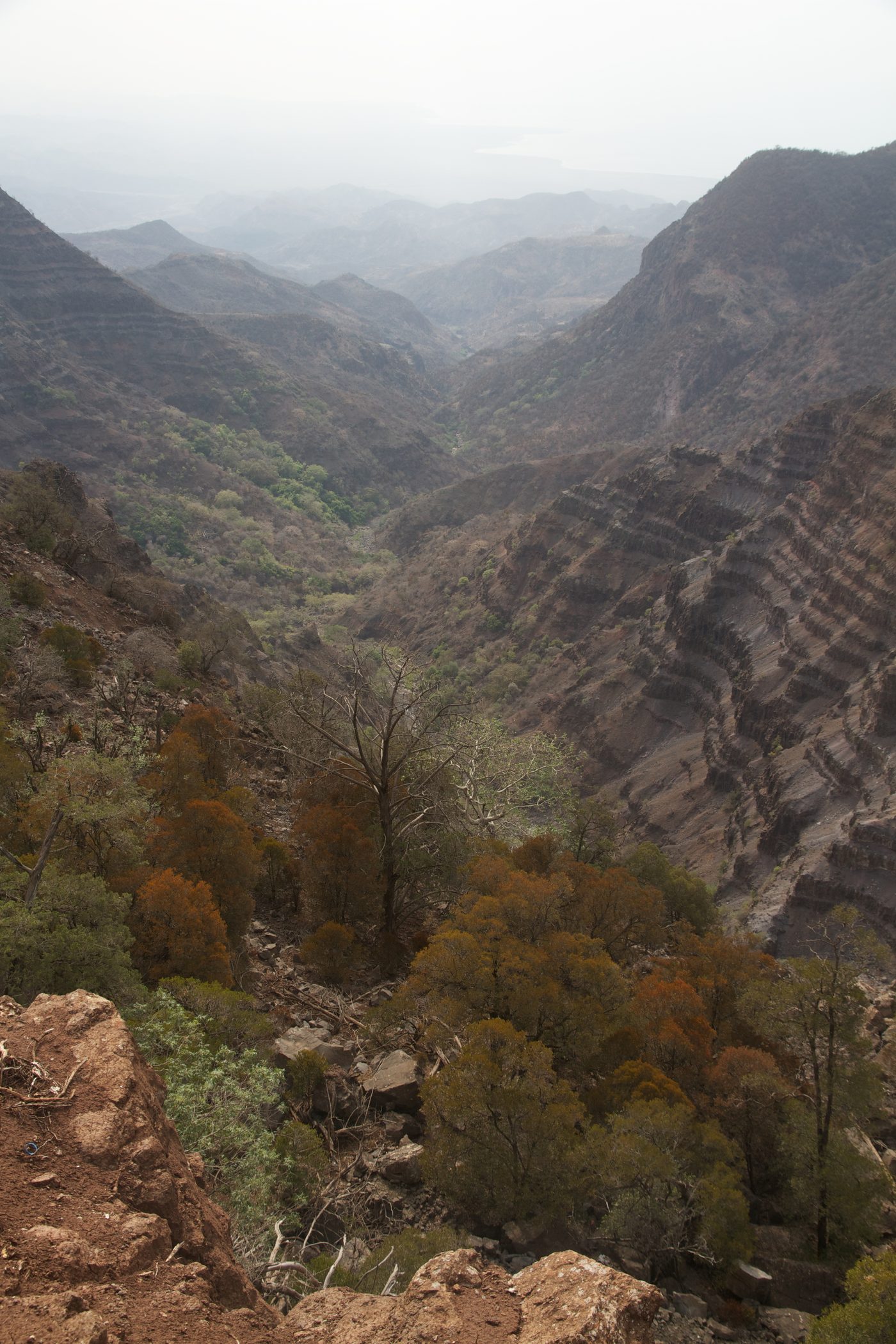
Day Forest
Tadjourah
Day Forest National Park, also known as Forêt du Day National Park, is a national park in the Goda Mountains and Tadjourah Region of Djibouti. The region is one of the very few forested areas of Djibouti, which taken as a whole is one of the least forested countries on Earth.
Did you know?
A rare mountain juniper forest high above the desert.
 Coasts
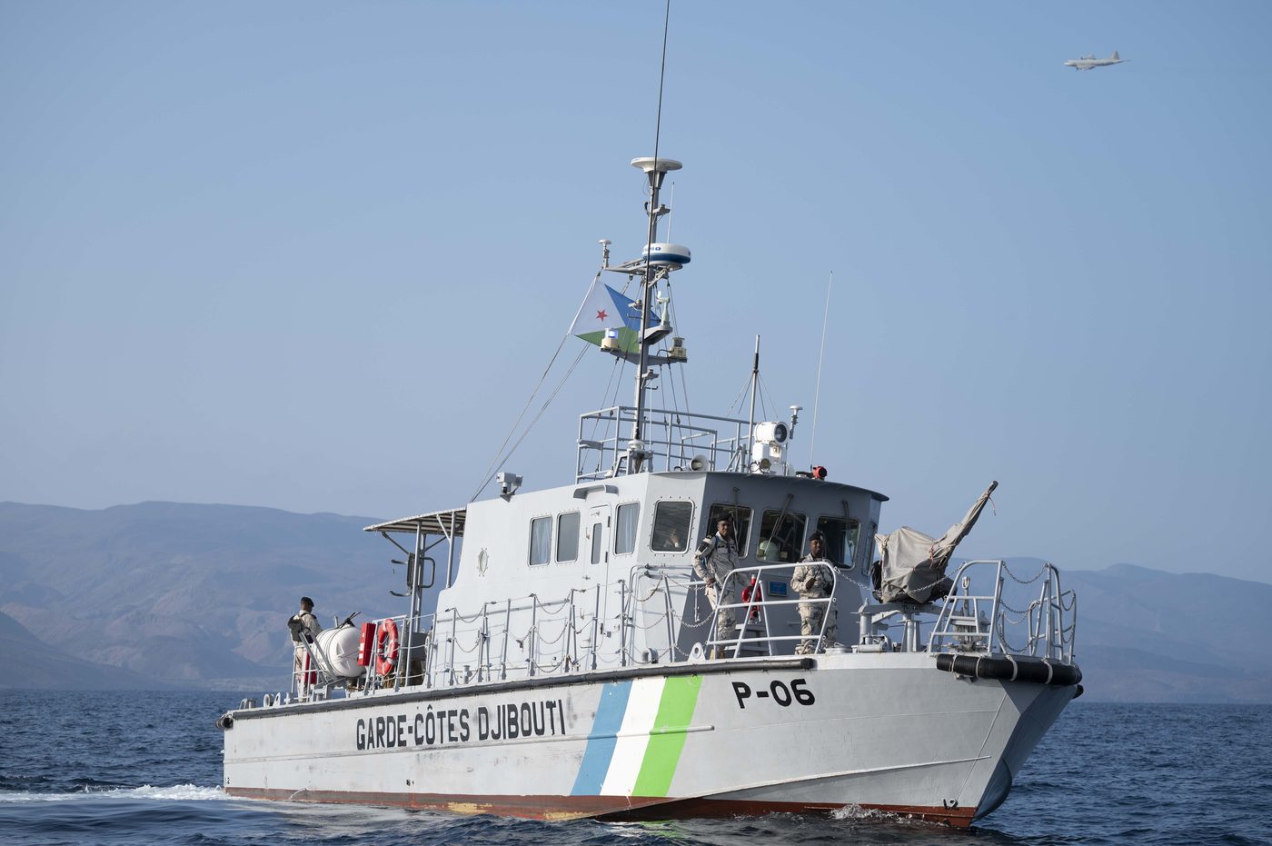
Gulf of Tadjoura
Northern Djibouti
The Gulf of Tadjoura (Somali: Gacanka Tajuura; Arabic: خليج تجرة) is a gulf or basin of the Indian Ocean in the Horn of Africa. It lies south of the straits of Bab-el-Mandeb, or the entrance to the Red Sea, at 11.7°N 43.0°E / 11.7; 43.0.
Did you know?
A deep tropical gulf where whale sharks gather each winter.
 Deserts
Grand Bara
Ali Sabieh
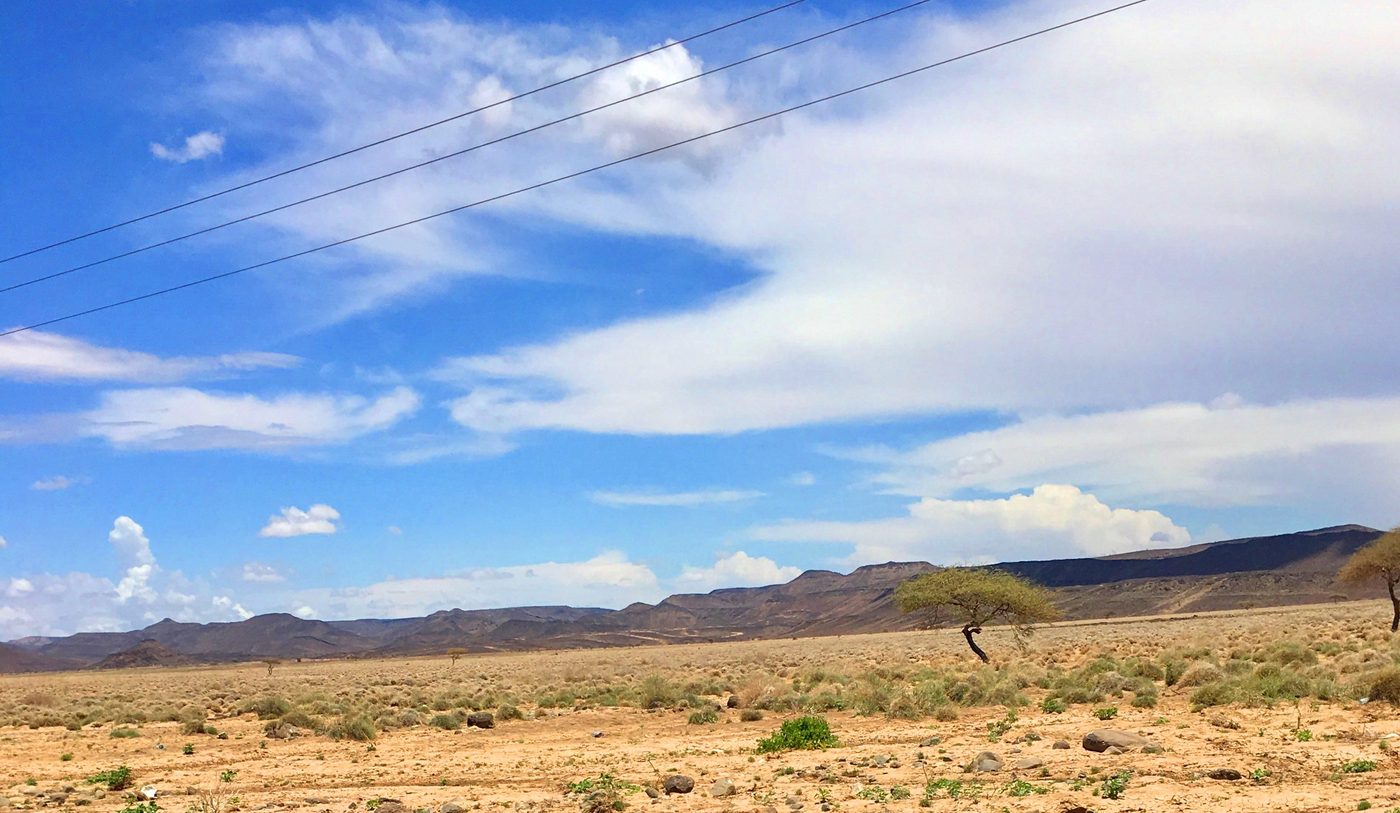
The Grand Bara (Somali: Baadha Wayn), Bara Wein or Bada Wein, is a desert in southern Djibouti. It consists of large areas of sand flats, with sparse, semi-desert and desert grasses and scrub vegetation. A road built in 1981 passes through the area, connecting the capital Djibouti City with the south.
Did you know?
A vast flat desert plain shimmering with mirages.