South-Eastern Asia
Brunei
The top 5 natural landmarks of Brunei — real photos, locations and fascinating facts for every wonder.
 Asia
 Forests
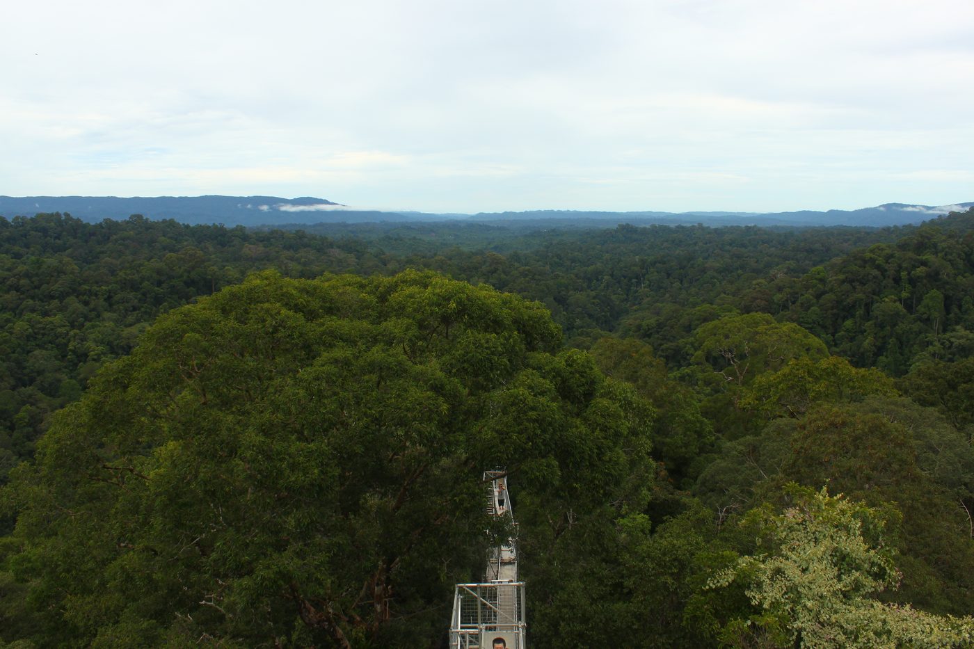
Ulu Temburong
Temburong
Ulu Temburong National Park is the first national park to be established in Brunei, protected since 1991. The park is in Temburong District in eastern Brunei, and covers about 40% of the district in the south at 550 square kilometres (210 sq mi). It is within the Batu Apoi Forest Reserve.
Did you know?
Pristine rainforest explored from walkways high in the canopy.
 Lakes
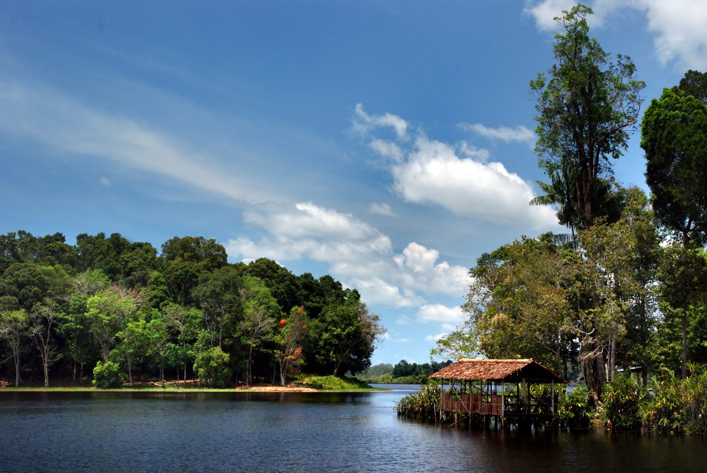
Tasek Merimbun
Tutong
Merimbun Lake (Malay: Tasek Merimbun) is the largest natural lake in Brunei. It is located near Mukim Rambai in the Tutong District, about 70 kilometres (43 mi) from the capital, Bandar Seri Begawan. The S-shaped lake is located 27 km from Tutong Town and it is surrounded by the 7,800-hectare (19,000-acre) park.
Did you know?
Brunei's largest lake, an S-shaped blackwater lake rich in wildlife.
 Waterfalls
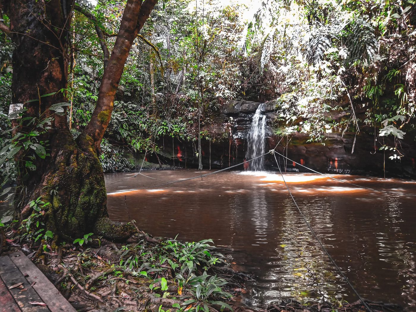
Wasai Kandal
Brunei-Muara
A forest waterfall and chain of natural bathing pools set within a green recreation park in the hills near Bandar Seri Begawan.
Did you know?
A forest waterfall and pools in a recreational green reserve.
 Wetlands
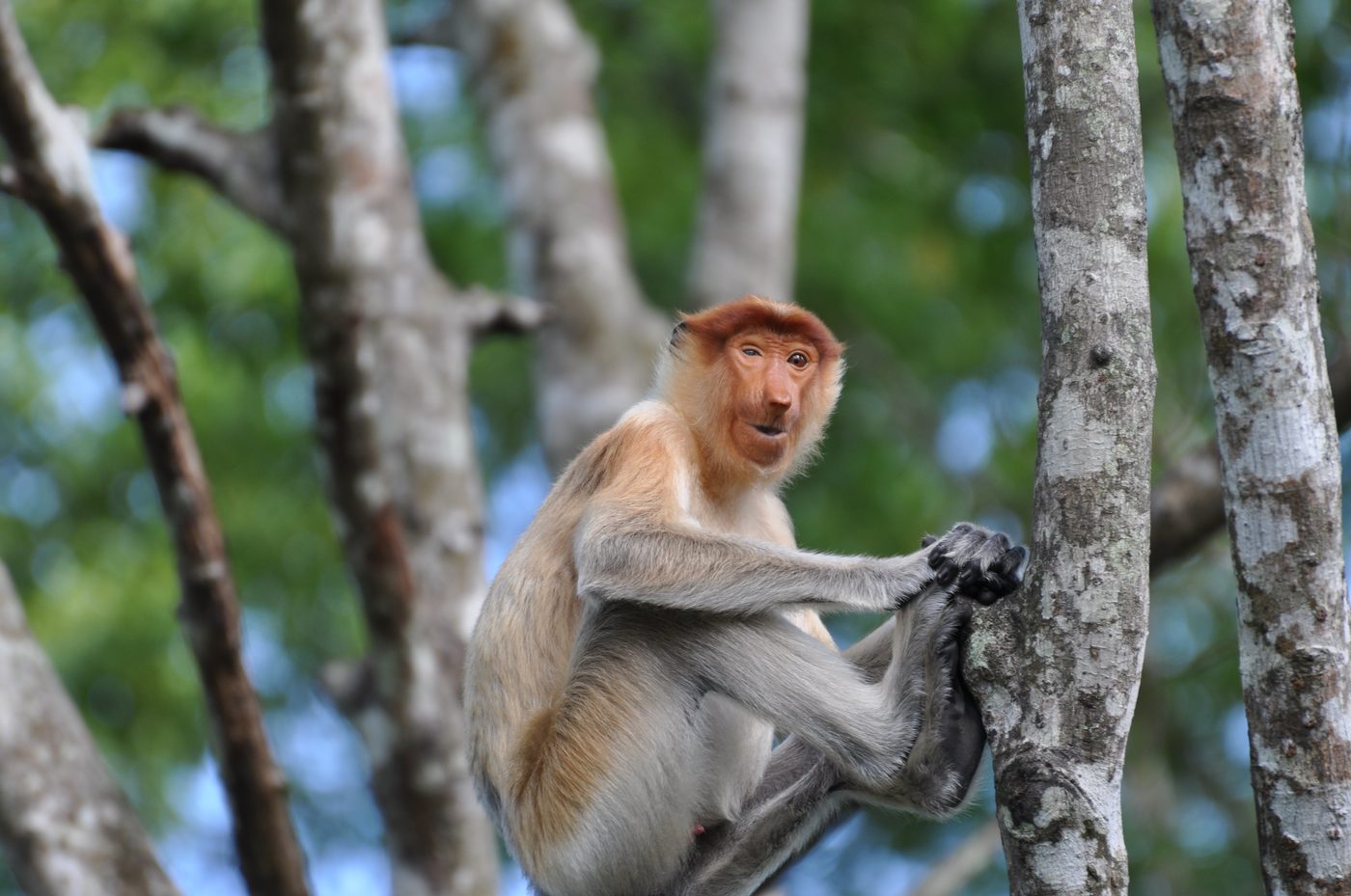
Selirong Island
Brunei-Muara
Selirong Island (Malay: Pulau Selirong), also known as Mosquito Island, is an island located within the Brunei Bay and Mukim Labu, Temburong District, Brunei. The island also sits at the river delta of the Temburong River.
Did you know?
A mangrove island reserve threaded with boardwalks.
 Coasts
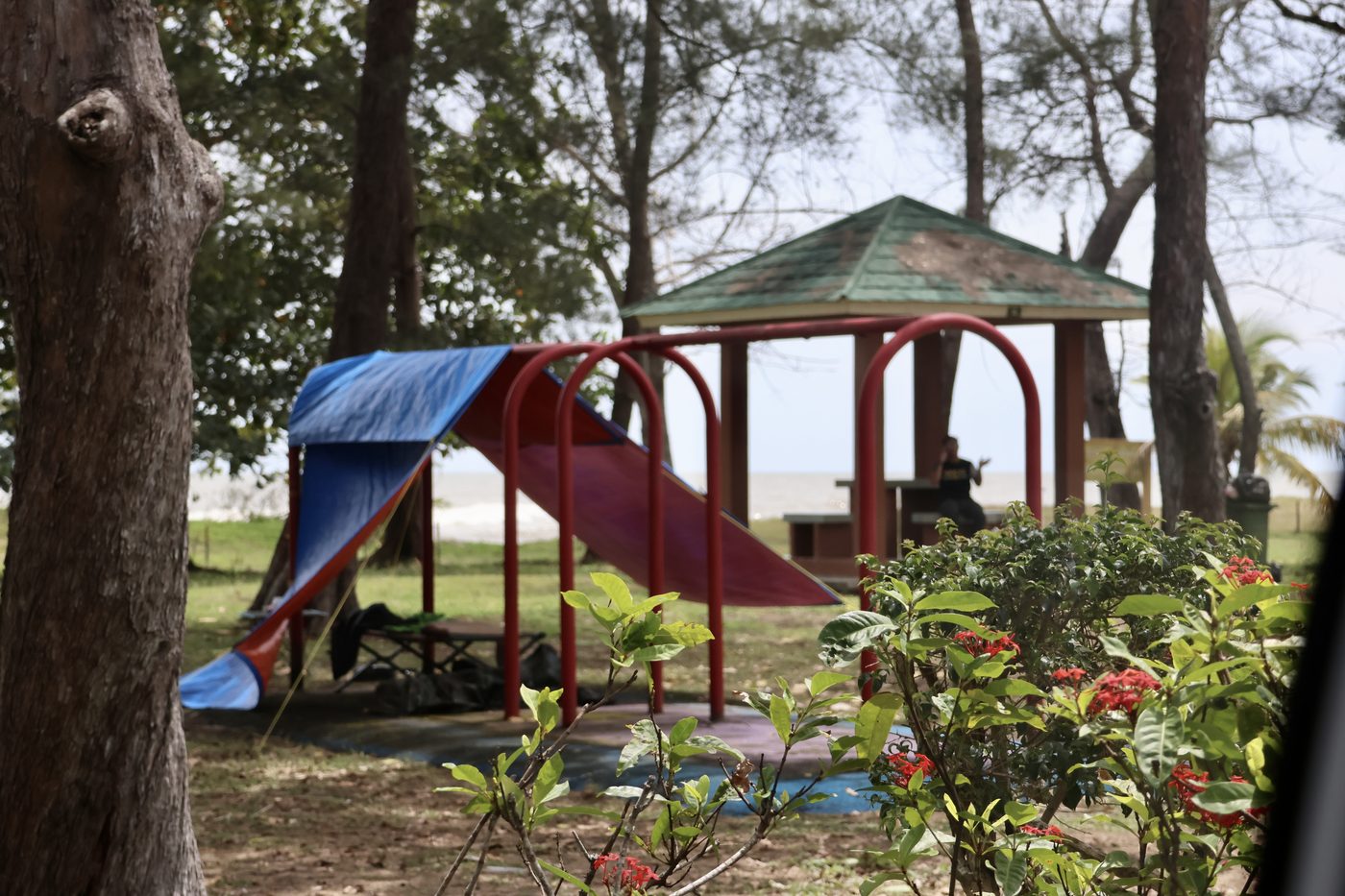
Pantai Seri Kenangan
Belait
Seria or officially known as Seria Town (Malay: Pekan Seria), is a town in Belait District, Brunei. It is located about 65 kilometres (40 mi) west from the country's capital Bandar Seri Begawan. The total population was 3,625 in 2016.
Did you know?
A long sandy beach backed by casuarina trees on the South China Sea.