Western Europe
Belgium
The top 5 natural landmarks of Belgium — real photos, locations and fascinating facts for every wonder.
 Europe
 Wetlands
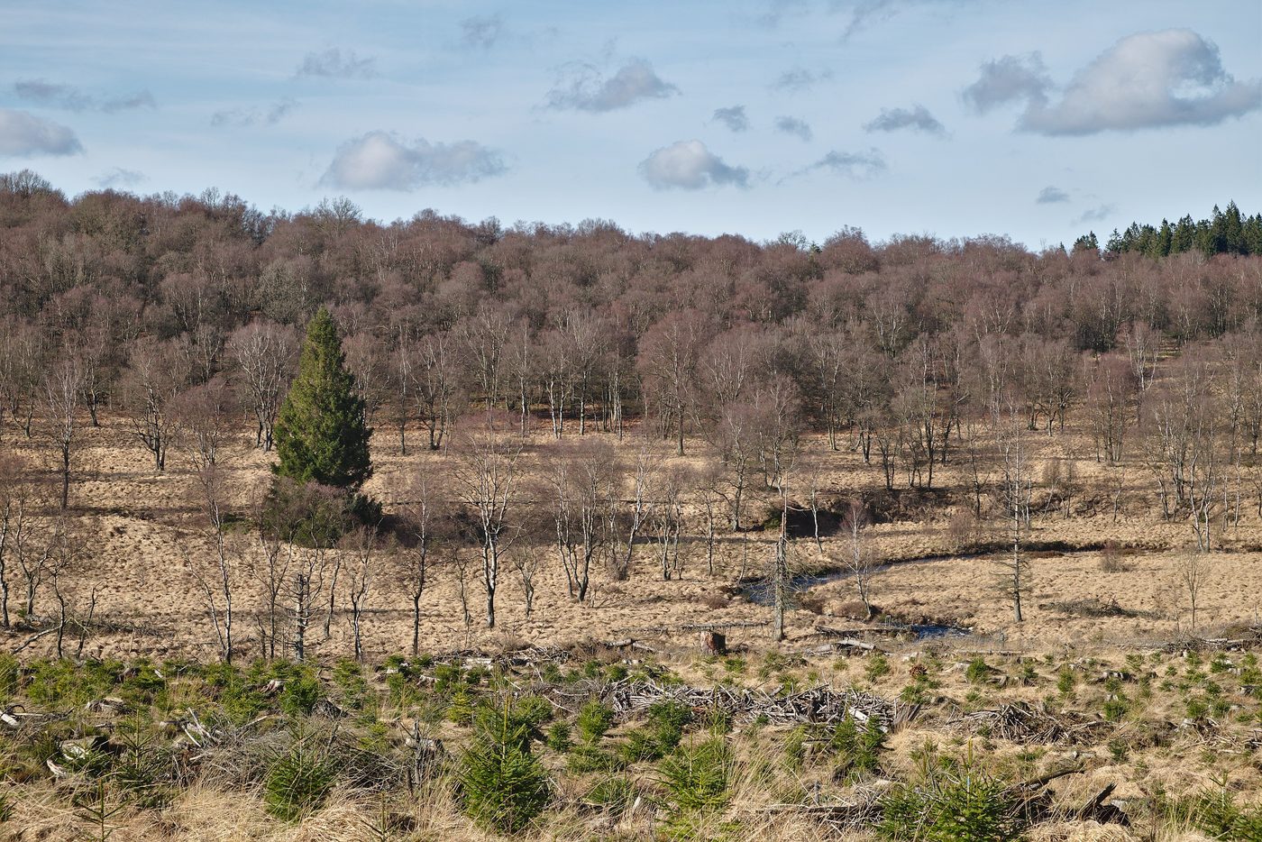
High Fens
Liège
The High Fens (German: Hohes Venn; French: Hautes Fagnes; Dutch: Hoge Venen), which were declared a nature reserve in 1957, are an upland area, a plateau region in Liège Province, in the east of Belgium and adjoining parts of northwestern Germany, between the Ardennes and the Eifel highlands.
Did you know?
Belgium's highest plateau, a vast upland of raised peat bogs.
 Forests
Ardennes Forest
Wallonia
The Ardennes, also known as the Ardennes Forest or Forest of Ardennes, is a region of extensive forests, rough terrain, rolling hills and ridges primarily in Belgium and Luxembourg, extending into Germany and France.
Did you know?
Rolling wooded hills cut by deep river valleys and caves.
 Caves
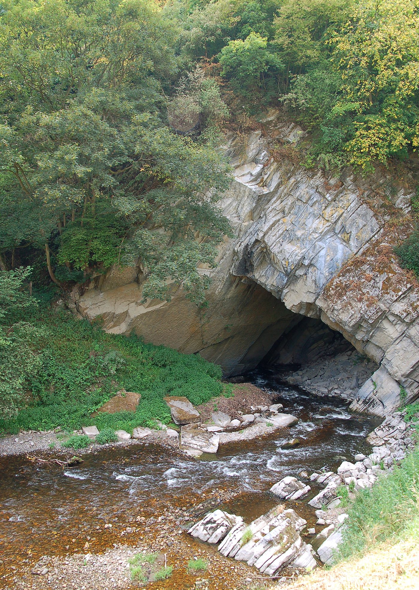
Han-sur-Lesse Caves
Namur
The Caves of Han-sur-Lesse (in French: Grottes de Han-sur-Lesse or simply Grottes de Han) refers to a natural complex of caves in Belgium. A major Belgian tourist attraction (around 250-300,000 visitors per year), the caves are located in Wallonia, on the outskirts of the village of Han-sur-Lesse.
Did you know?
Spectacular river-carved caverns with vast underground halls.
 Coasts
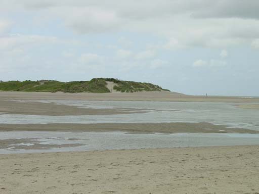
Zwin
West Flanders
A tidal salt marsh on the coast famed for its birdlife.
Did you know?
A tidal salt marsh on the coast famed for its birdlife.
 Rivers
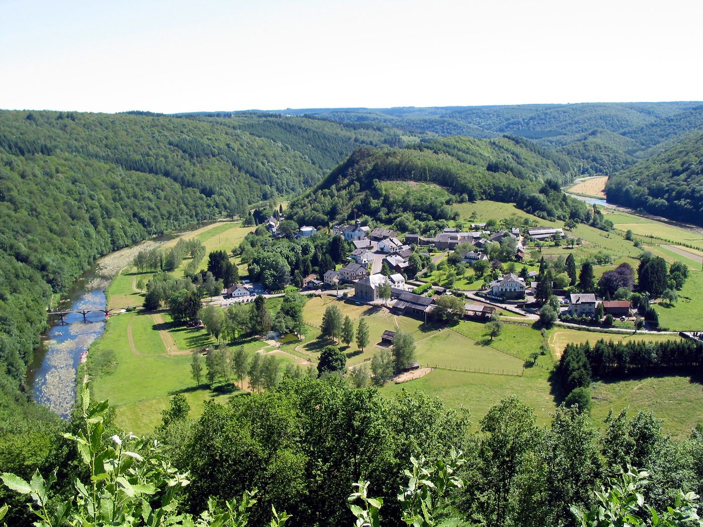
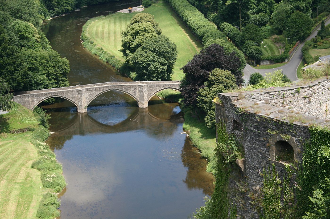
Semois Valley
Luxembourg Province
The Semois (French pronunciation: [səmwa] ; Simwès in Walloon, often under elided form Smwès; Semoy, Sesbach in German, Setzbaach in Luxembourgish of Arlon; and known as the Semoy in France) is a river flowing from the Ardennes uplands of Belgium and France towards the Meuse, of which it is a right tributary.
Did you know?
A river winding in tight loops through forested Ardennes hills.