Australia and New Zealand
Australia
The top 10 natural landmarks of Australia — real photos, locations and fascinating facts for every wonder.
 Oceania
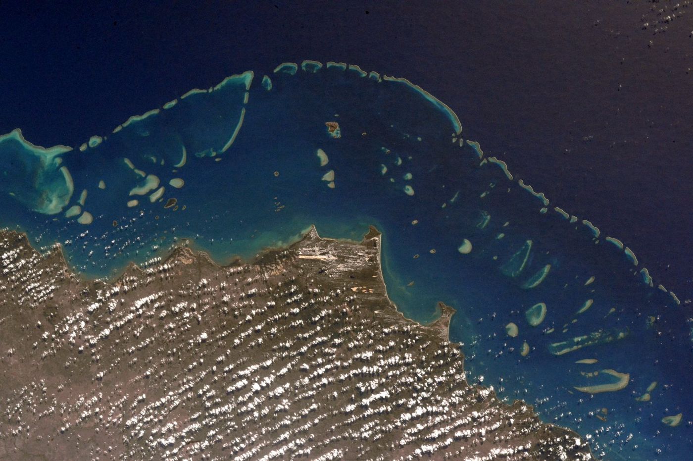 Coral Reefs
Great Barrier Reef
Queensland coast
The Great Barrier Reef is the world's largest coral reef system, composed of over 2,900 individual reefs and 900 islands stretching for over 2,300 kilometres (1,400 mi) over an area of approximately 344,400 square kilometres (133,000 mi2). The reef is located in the Coral Sea, off the coast of Queensland, Australia.
Did you know?
The largest living structure on Earth, visible from space.
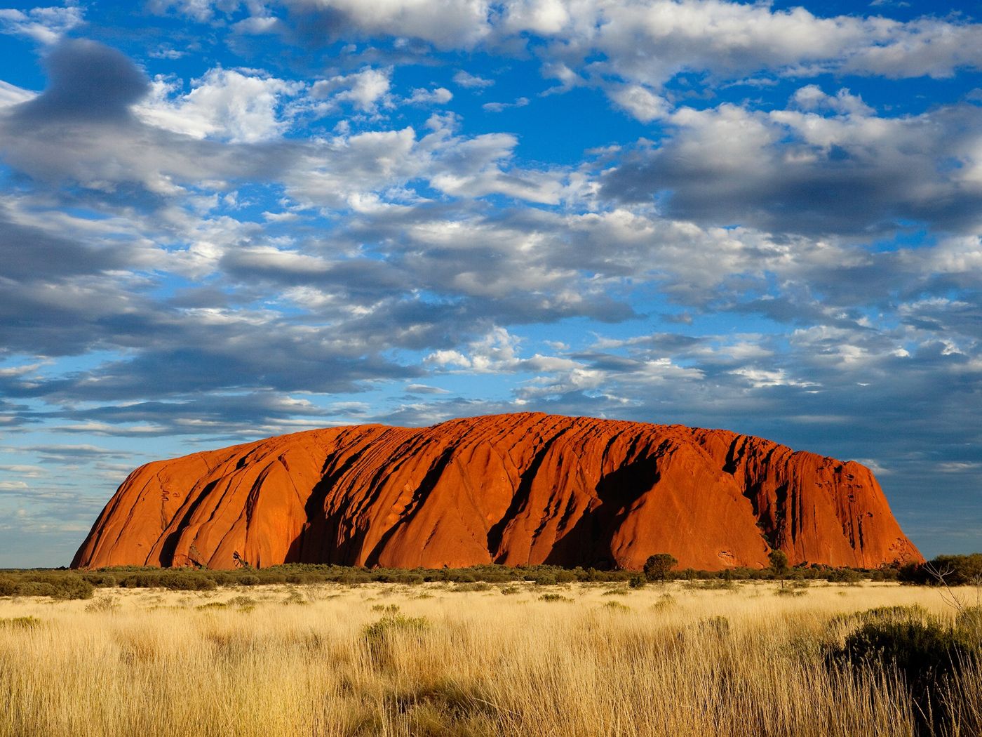 Rocks
RocksUluru
Northern Territory
Uluru, also known as Ayers Rock and officially gazetted as Uluru / Ayers Rock, is a large sandstone monolith. It crops out near the centre of Australia in the southern part of the Northern Territory, 335 km (208 mi) south-west of Alice Springs.
Did you know?
A vast sandstone monolith sacred to the Anangu people.
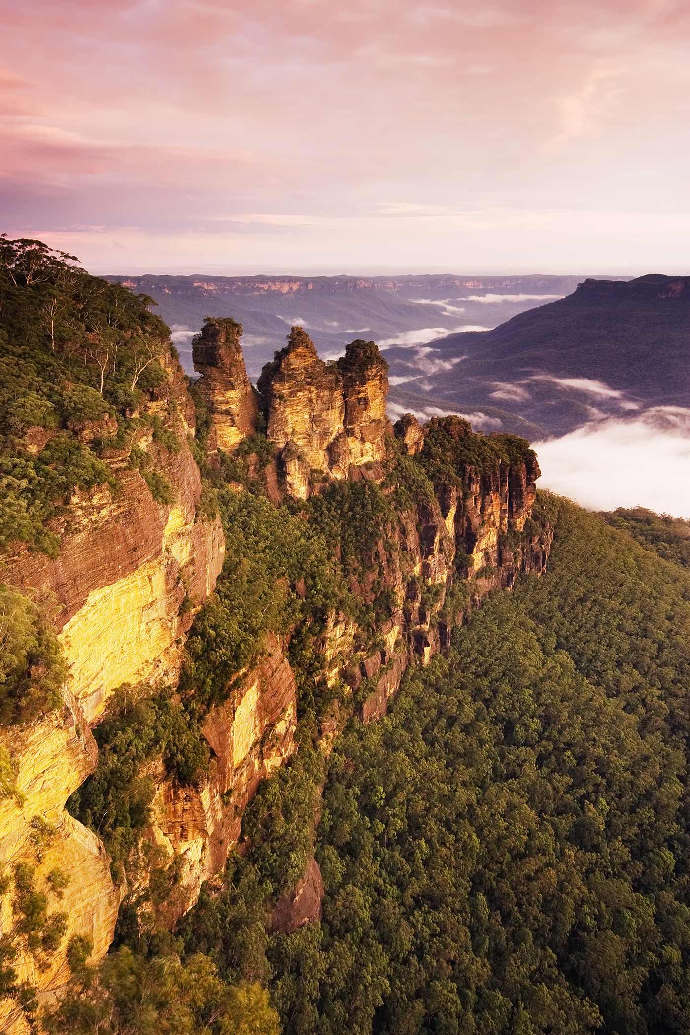 Mountains
Blue Mountains
New South Wales
The Blue Mountains are a mountainous region and a mountain range located in New South Wales, Australia. The region is considered to be part of the western outskirts of the Greater Sydney area.
Did you know?
Eucalyptus haze gives these sandstone tablelands their blue tint.
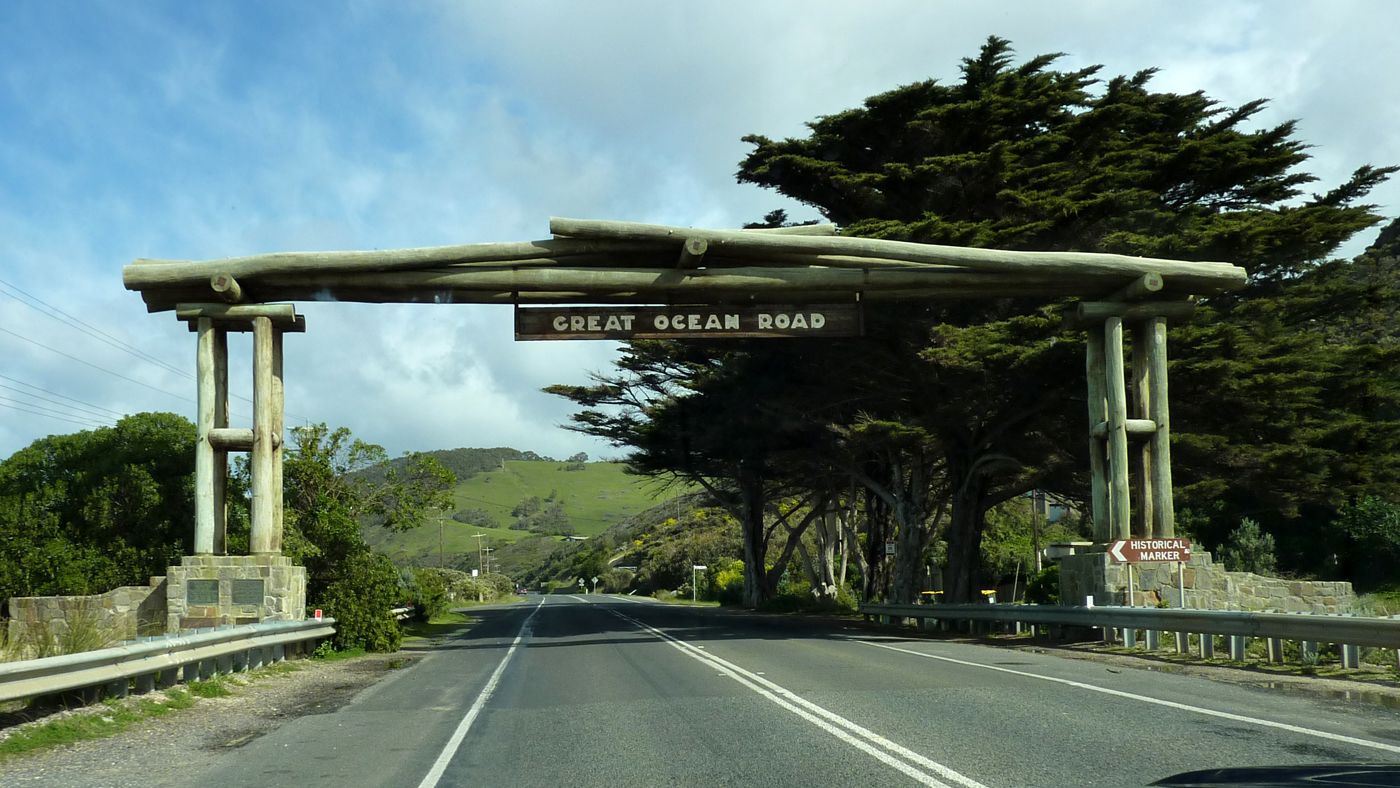 Coasts
Great Ocean Road
Victoria
The Great Ocean Road is an Australian National Heritage-listed 240-kilometre (150 mi) stretch of road along the south-eastern coast of Australia, between the Victorian towns of Torquay and Allansford. Built by returned soldiers between 1919 and 1932, and dedicated to soldiers killed during World War I, the road is the world's largest war memorial.
Did you know?
A wild coast of limestone stacks including the Twelve Apostles.
 Wetlands
Kakadu National Park
Northern Territory
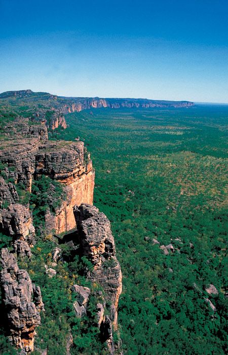
Kakadu National Park is a protected area in the Northern Territory of Australia, 171 km (106 mi) southeast of Darwin. It is a World Heritage Site.
Did you know?
Australia's largest national park, floodplains teeming with wildlife.
 Forests
Daintree Rainforest
Far North Queensland
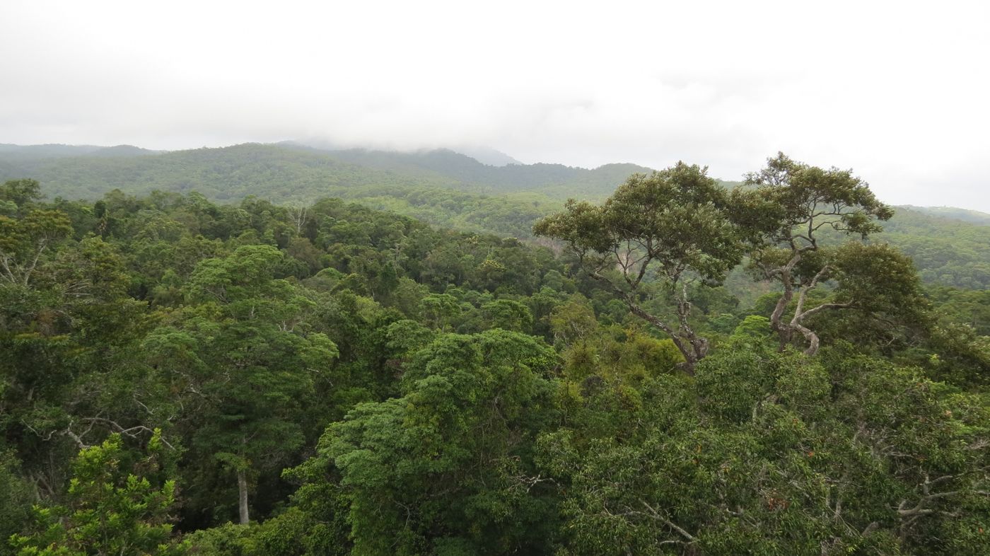
The Daintree Rainforest, also known as the Daintree, is a region on the northeastern coast of Queensland, Australia, about 105 km (65 mi), by road, north of the city of Cairns. Whilst the terms "Daintree Rainforest" and "the Daintree" are not officially defined, it is generally accepted and understood that they refer to the area from the Daintree River north to Cooktown, and from the coastline west to the Great Dividing Range.
Did you know?
One of the oldest surviving rainforests on the planet.
 Islands
Fraser Island
Queensland
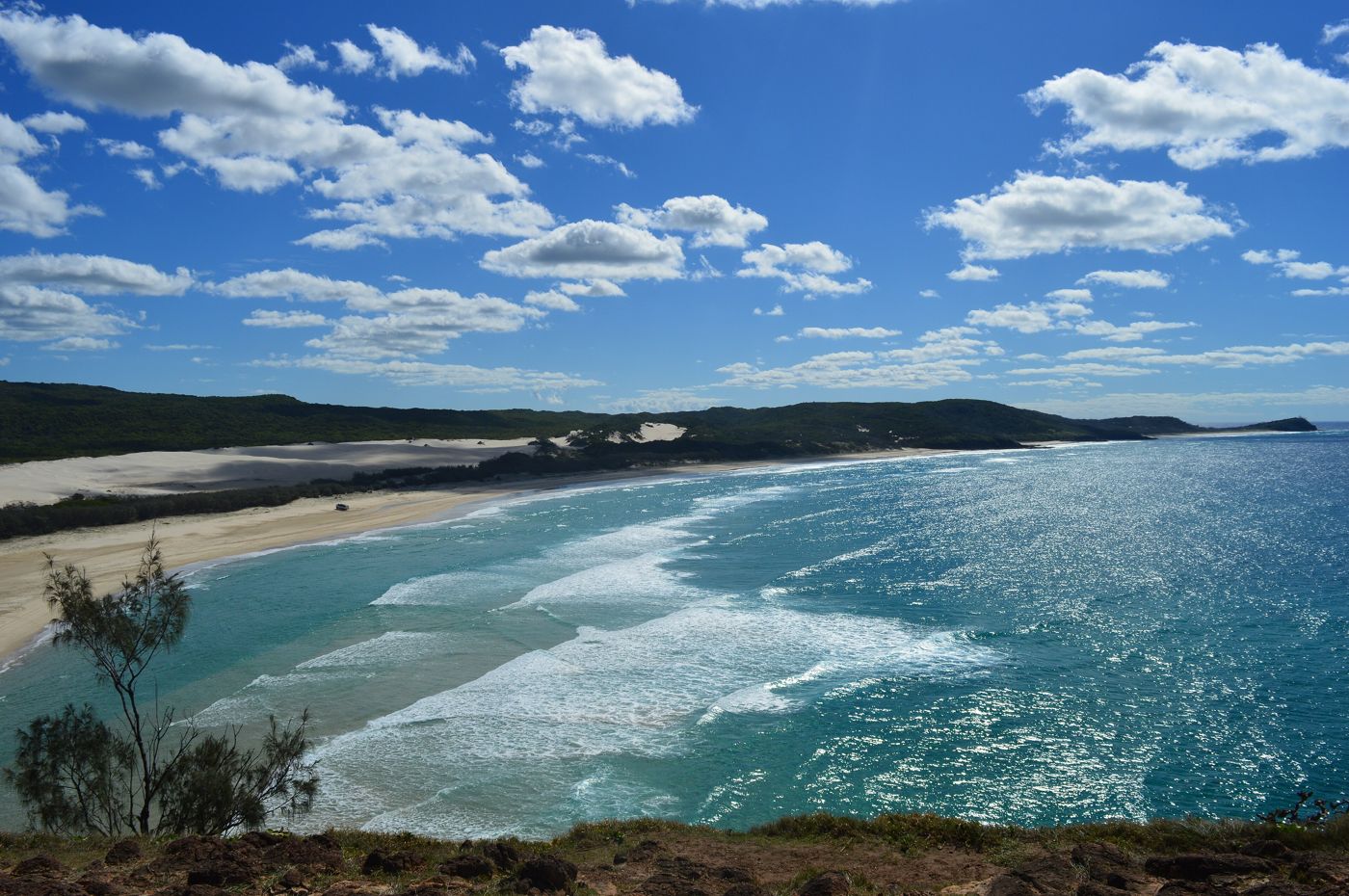
K'gari, also known by its former name Fraser Island, is a World Heritage-listed sand island along the south-eastern coast in the Wide Bay–Burnett region of Queensland, Australia. The island lies approximately 250 km (160 mi) north of the state capital, Brisbane, and is within the Fraser Coast Region local council area.
Did you know?
The world's largest sand island, with rainforest growing on dunes.
 Deserts
The Pinnacles
Western Australia
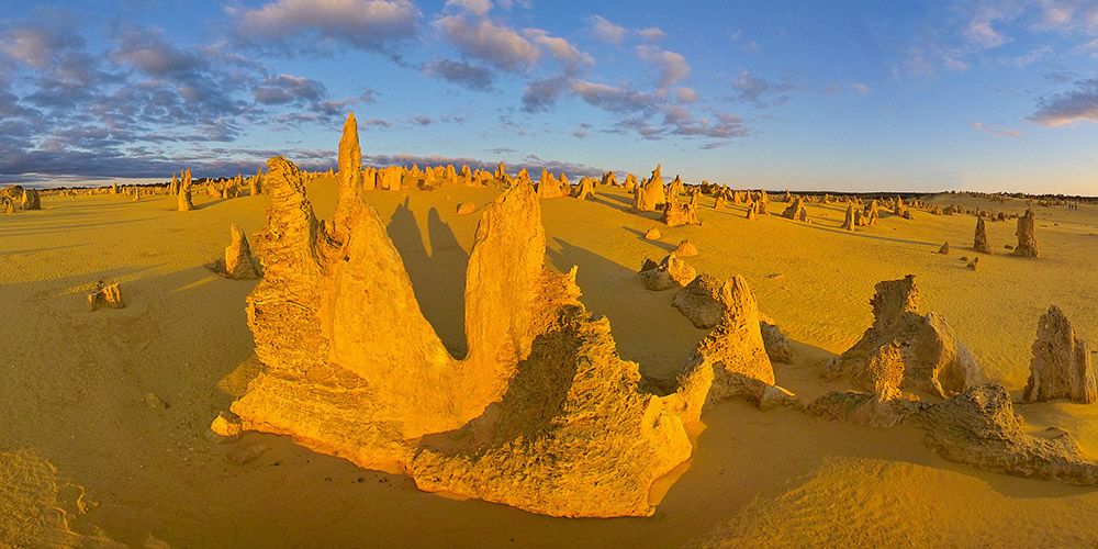
The Pinnacles are limestone formations within Nambung National Park, near the town of Cervantes, Western Australia.
Did you know?
Thousands of limestone spires rising from golden desert sands.
 Rocks
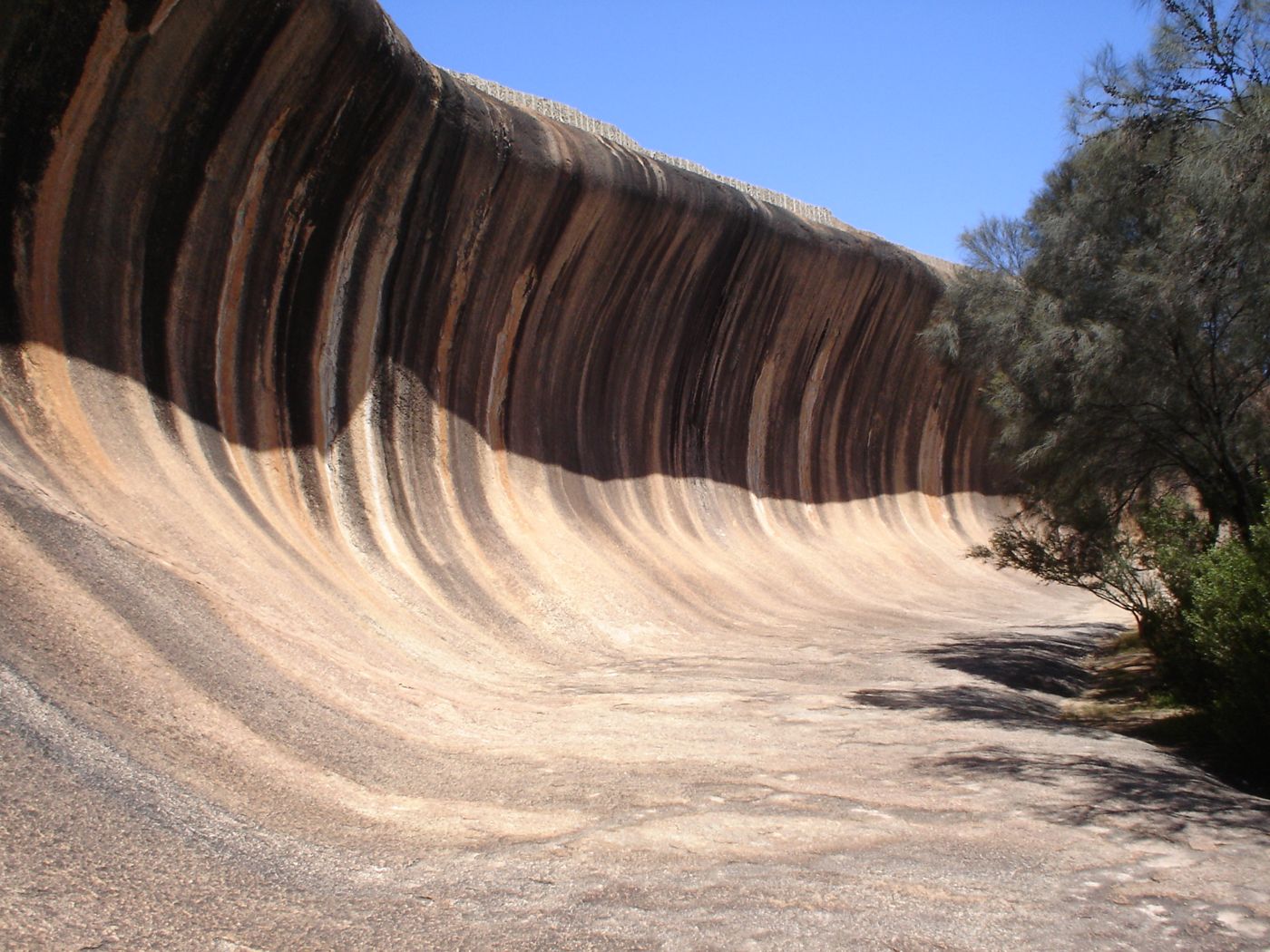
RocksWave Rock
Western Australia
Wave Rock is a natural rock formation that is shaped like a tall breaking ocean wave. The "wave" is about 15 m (50 ft) high and around 110 m (360 ft) long.
Did you know?
A granite cliff shaped like a towering ocean wave about to break.
 Lakes
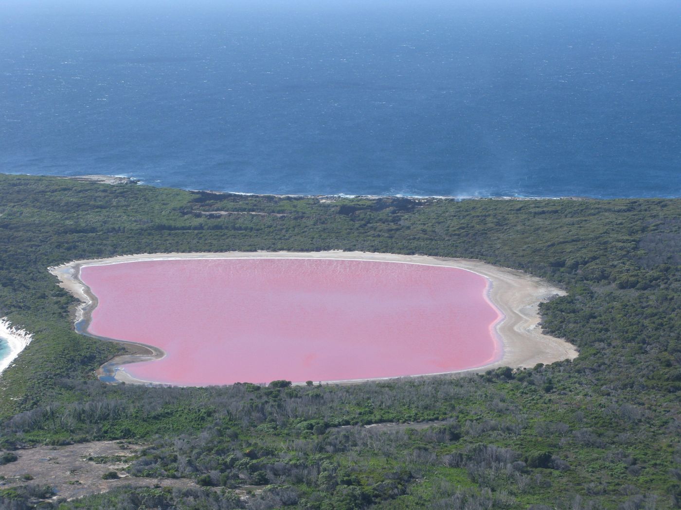
LakesLake Hillier
Western Australia
Lake Hillier is a saline lake on the edge of Middle Island, the largest of the islands and islets that make up the Recherche Archipelago in the Goldfields-Esperance region, off the south coast of Western Australia. It is particularly notable for its pink colour.
Did you know?
A startlingly bubblegum-pink salt lake fringed by forest and sea.